Cyprus is an island that carries its history on the surface. You do not need to dig for it. Drive inland from Limassol, wind up into the Troodos range, or cut across to the occupied north, and you will find places that stopped in time without warning. A church sealed off by barbed wire. An asbestos mine the size of a small mountain. A ranch with its fences still standing and no one inside.
A luna park that closed before most visitors were born. These are not obscure footnotes to Cypriot history. They are physical evidence of the forces that shaped this island across the 20th century, political division, industrial collapse, economic migration, and the kind of quiet neglect that overtakes places when everyone who cared about them moves on. What follows is a guide to some of the most compelling abandoned places on the island, what they were, how they got this way, and what you will actually find if you make the trip.
- The Temple of Zeus
- Agios Anastasios of Peristerona/Maratha Church
- Tivoli Luna Park
- Maximos Ranch (Abandoned)
- Pine Hill Lodge
- Prodromos Abandoned Mine
- Abandoned Pieris Building
- Hadjipavlou Mines Olympus
- Kalavasos Mine II
- Amiantos Abandoned Mine
- Amiantos Abandoned Hospital
- Star Luna Park (Near Larnaca)
- Can You Visit These Abandoned Places?
The Temple of Zeus
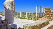
The Temple of Zeus at Salamis is one of the most historically significant abandoned structures in Cyprus, even though most visitors to the island never make it there. Salamis itself was the ancient capital of Cyprus, a city-state on the east coast near modern Famagusta that was continuously inhabited from around the 11th century BCE until Arab raids in the 7th century CE effectively ended it. What remains today is spread across a vast archaeological site on the northeastern coast, and the Temple of Zeus sits at the southern end of the Roman forum.
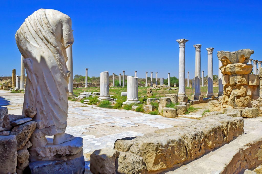
The temple’s origins are older than the Roman remains suggest. The cult of Zeus Salaminios was established, according to tradition, by Teucer himself, which would place its founding at the very beginning of the city. The extant remains date to the Roman period, and the temple precinct was confirmed in significance when the historian Tacitus recorded that in 22 AD, the emperor Augustus granted it the right to grant asylum.
At the southern end of the forum, among the trees, are the remnants of the Temple of Zeus. It would have stood on the stepped platform still visible today, though the structure is largely overgrown now. The forum itself is extraordinary in scale. It measures approximately 250 meters by 60 meters, and in its original form would have had an open central area surrounded by shops, with a wooden portico providing shade.
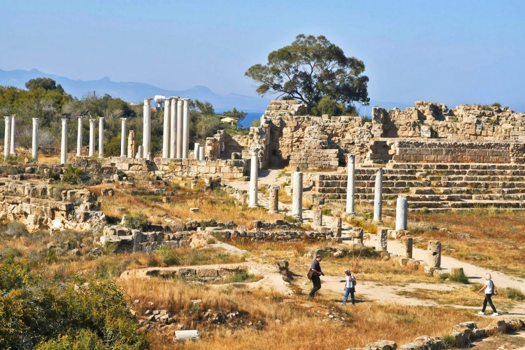
During excavations in the 1970s, inscriptions were found at the temple esplanade honoring Livia, wife of Augustus, and dedicating the temple to Zeus Salaminios. An enormous marble capital carved on each side with a caryatid figure standing between the foreparts of winged bulls was among the discoveries. The site is located in the north of Cyprus and falls under the administration of the Turkish Republic of Northern Cyprus. Entry to the Salamis archaeological site requires a separate ticket, and the Temple of Zeus sits within it.
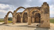
Agios Anastasios of Peristerona/Maratha Church
The monastery church of Agios Anastasios in Peristeronopigi, in the Famagusta district of northern Cyprus, represents one of the more painful chapters in Cyprus’s post-1974 cultural history. The village itself had a complicated past even before the Turkish military intervention. Peristeronopigi was a mixed village until 1958, when all of the approximately 200 Turkish Cypriots were displaced due to intercommunal strife and took refuge in Maratha and the town of Famagusta. The second displacement came in 1974, when all the Greek Cypriots, around 1,700, fled from the advancing Turkish army.
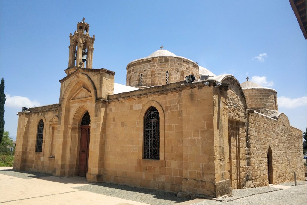
What the retreating population left behind included the monastery church of Agios Anastasios, a structure of genuine religious and artistic significance. The Royal iconostasis doors of the church, dating to 1778 according to an inscription preserved on them, were looted following the invasion. They were painted by the Monk Filaretos from Psimolofou and represent an important example of the Cypriot iconographic tradition of the 18th century. The doors were eventually repatriated from Japan after yearlong efforts by the Cyprus Department of Antiquities.
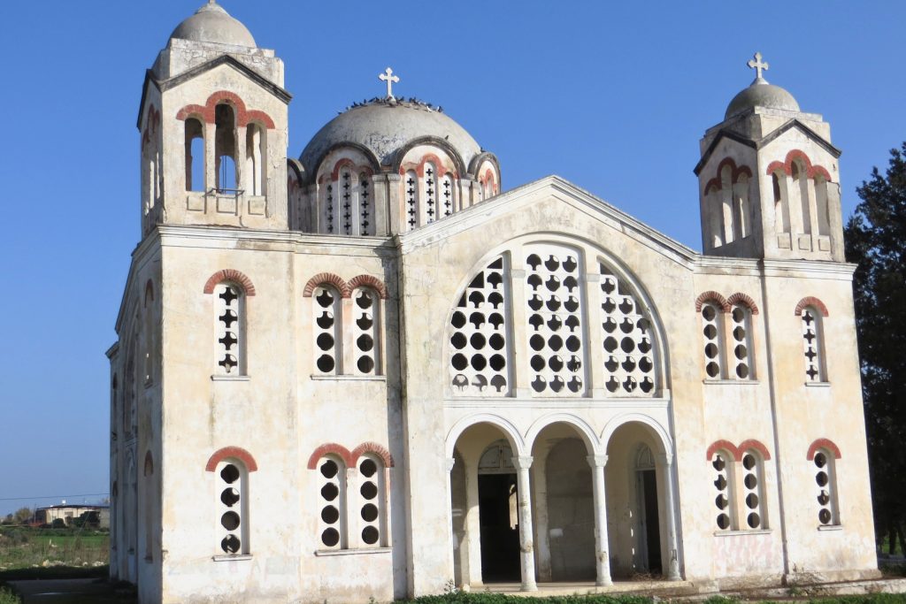
The church itself remains in a deteriorated state. The monastery of Agios Anastasios in Peristeronopigi is among the Christian monuments in the occupied territories that have been desecrated and are on the verge of collapse, according to a question raised in the European Parliament in 2023. The building sits in territory that is not accessible to most visitors from the south without crossing through a designated checkpoint. For those who do make the crossing, the church stands as one of the more direct physical records of what was taken from Greek Cypriot religious communities in the north after 1974.
Tivoli Luna Park
The Tivoli Luna Park is one of the less-documented abandoned sites in Cyprus, but its physical remains are striking enough to have built a following among urban explorers and photographers over the past decade. The park operated as a public amusement facility in the Nicosia area during the 1970s and 1980s, drawing families from the capital on weekends and holidays during a period when dedicated leisure destinations in Cyprus were still relatively rare.
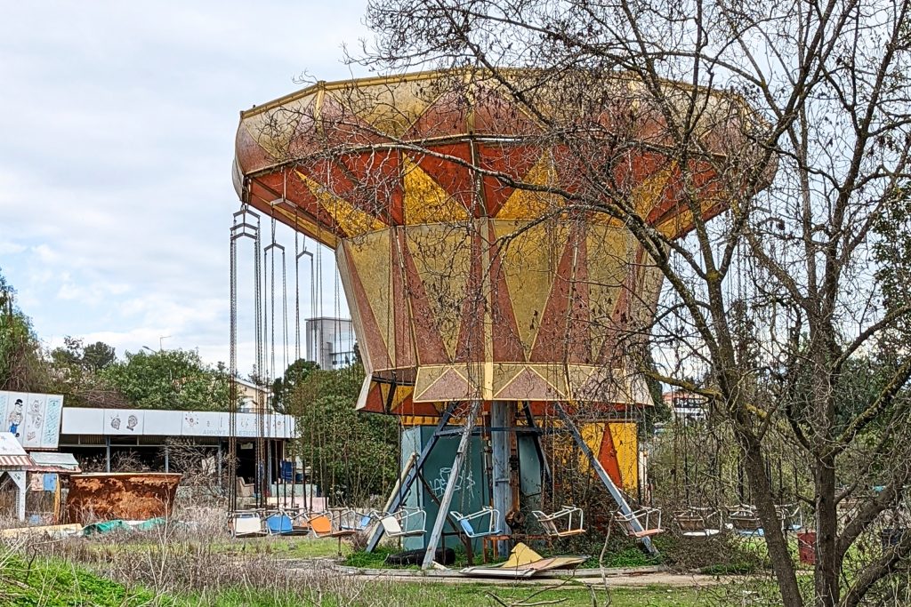
The closure came gradually. Attendance dropped as new entertainment options arrived, the equipment aged without the investment needed to keep it competitive, and at some point in the late 1980s or early 1990s, the Tivoli stopped operating. What distinguishes it from the more widely covered Cyprus Abandoned Luna Park near Limassol is its more compact scale and its urban-adjacent position. Where the Limassol park sits in a more open setting, the Tivoli is tucked into a neighborhood context that makes its state of decay feel more immediately incongruous.
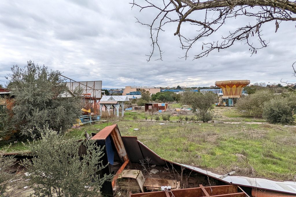
The ride structures that remain include partial framework and the kind of rusted metal infrastructure that characterizes amusement parks of that era, built before fiber composites replaced steel as the standard construction material. Vegetation has advanced significantly through the site. Trees and scrub growth have taken back the pathways and pushed through the concrete in places.
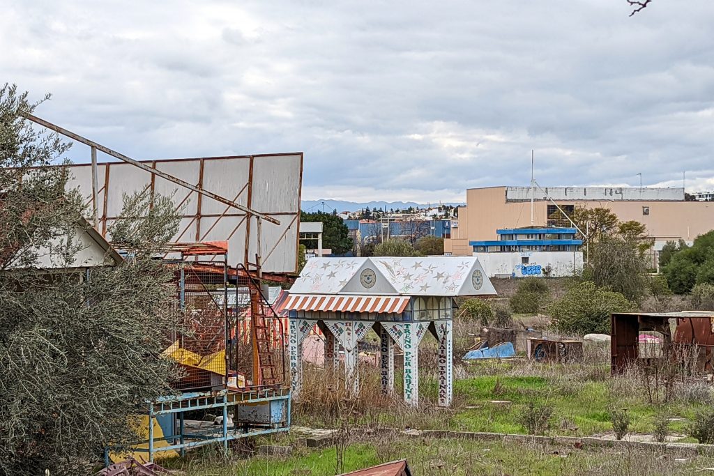
Several structural elements are visible from the perimeter, which is how most visitors experience the site today given that formal access does not exist. For urban explorers willing to document it seriously, the Tivoli represents a snapshot of Cypriot leisure culture from a period before satellite television and the internet changed how people spent their free time on the island.
Maximos Ranch (Abandoned)
Maximos Ranch sits in the Paphos district at coordinates that place it in the agricultural interior, away from the coastal development that defines the tourist image of that part of Cyprus. The ranch was a functioning agricultural and equestrian property that has been abandoned and left in place, its fencing largely intact and its structures still standing in varying degrees of repair.
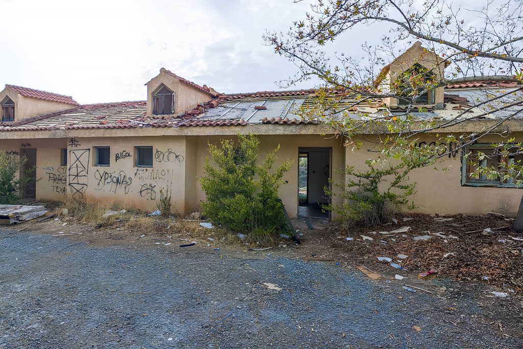
What makes Maximos Ranch interesting as an abandoned site is its relative recency. This is not a medieval ruin or a post-1974 ghost village. It is a 20th-century agricultural operation that simply stopped, and the evidence of that operation is still present in a way that more distant abandonments are not. Stable structures, fencing, water infrastructure, and the general organization of a working ranch are all visible. The property appears on Google Maps with the designation “abandoned,” which is how it has entered the urban exploration community’s awareness.
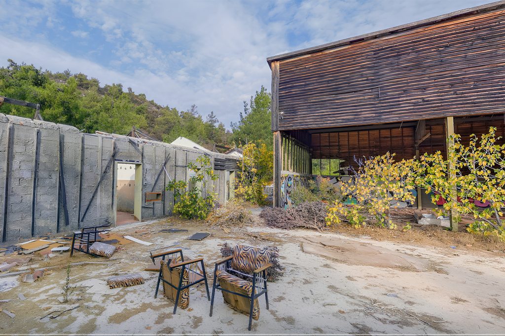
The surrounding landscape is typical of the Paphos interior, dry scrub terrain with views across the agricultural lowlands toward the coast. The ranch sits within driving distance of Paphos town, which makes it more accessible than the remote forest-edge sites of the Akamas hinterland. It is not a historically significant site in the conventional sense, but as a piece of very recent Cypriot agricultural history in raw form, it offers something that the more celebrated ruins do not, which is the particular texture of a working place that has simply been left behind.
Pine Hill Lodge
Pine Hill Lodge is located in the Troodos area of Cyprus, set into the forested terrain of the mountain range at an elevation that gives it a character very different from the coastal and lowland abandoned places on this list. The lodge was a hospitality property that has since closed and been left unoccupied, its structure still present in the mountain landscape.
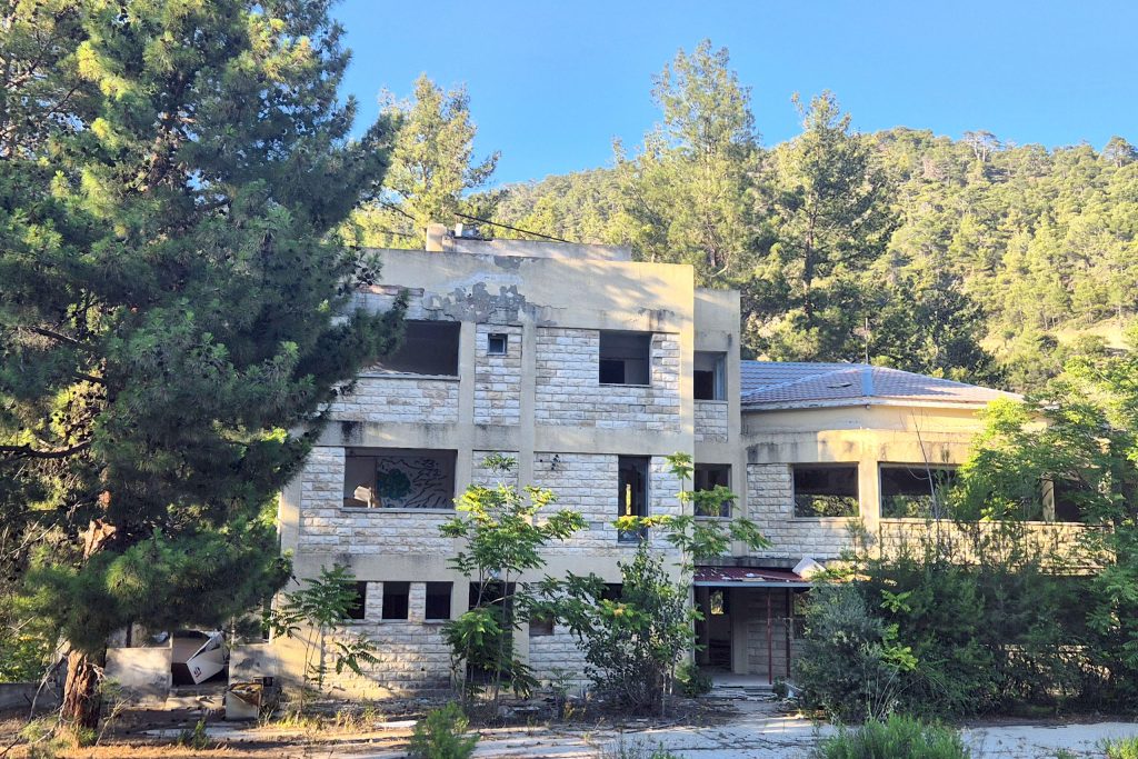
Abandoned hospitality properties in Cyprus tend to tell a specific economic story. The Troodos mountain tourism market developed through the mid-20th century as Cypriots from the coast and from abroad sought cooler temperatures during summer, and a number of small lodges and guesthouses established themselves in the forest. Some of those properties thrived and continue operating. Others, like Pine Hill Lodge, did not sustain the investment required to keep them competitive as expectations for accommodation changed.
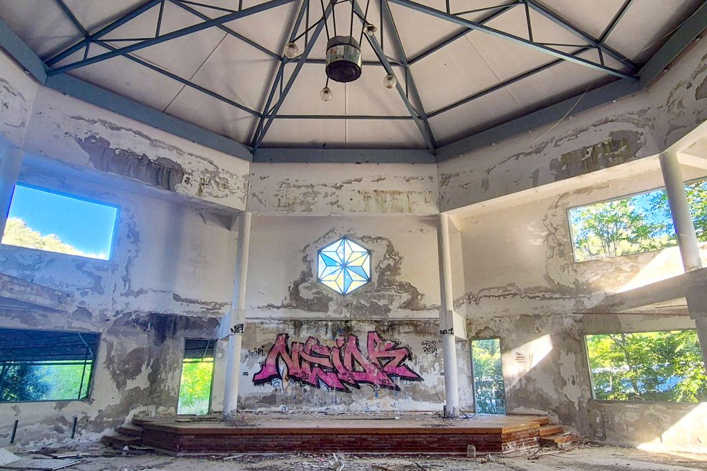
The location in the Troodos forest gives the abandoned lodge a quality that urban sites do not have. The surrounding pine forest has continued to grow and encroach on the structure over the years since closure, and the combination of a built structure in a state of decay within a mature mountain forest creates the kind of visual setting that photographers specifically seek out.
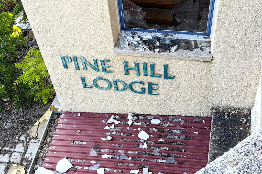
The roads into this part of the Troodos range are well-maintained relative to the remote forest tracks that reach some of the other sites on this list, which makes Pine Holly Lodge one of the more physically accessible entries here.
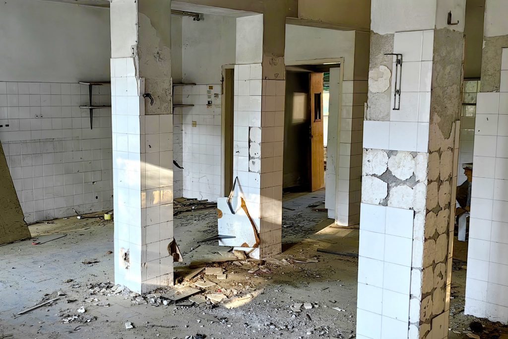
Prodromos Abandoned Mine
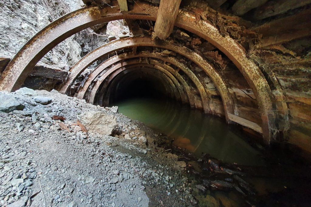
Prodromos is a village in the Troodos Mountains, and the abandoned mine near it is one of several mining relics in this part of Cyprus that speak to the island’s significant industrial history in the 20th century. Cyprus was a major copper producer for much of recorded history, and the mining operations that exploited that copper left behind a substantial physical footprint across the Troodos range.
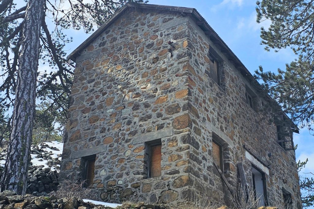
The Prodromos mine site is one of the smaller and less documented of these operations, but the structures that remain give a clear picture of what a mid-scale Cypriot mining operation looked like in its working years. Processing buildings, storage structures, and the general infrastructure of a mine that employed people from the surrounding villages are still present in various states of structural integrity.
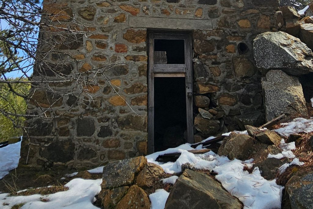
The terrain around Prodromos is steep and forested, which is characteristic of the higher elevations of the Troodos range. The mine sits within this landscape in a way that makes it feel integrated into the mountain rather than imposed on it, which is partly a function of age and partly the way that Troodos vegetation recovers ground when industrial activity stops. Accessing the site requires navigation on mountain roads, and a vehicle with reasonable ground clearance is advisable.
Abandoned Pieris Building
The Abandoned Pieris Building in the Limassol area is one of the more photographed urban abandoned structures in Cyprus’s south. Unlike the rural and mountain sites on this list, the Pieris Building is an urban structure, a commercial or mixed-use property in a built-up area that has been left unoccupied and deteriorating in place while the city around it continued to develop.
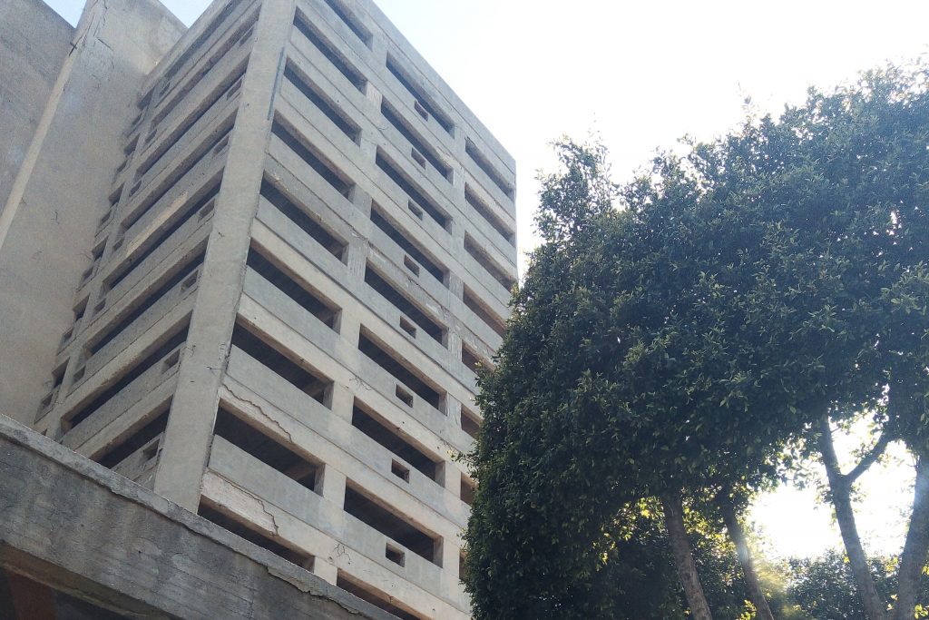
Urban abandonment in Cyprus often involves property ownership disputes, unresolved inheritance situations, or the economics of redevelopment in areas where property values have shifted. The Pieris Building fits this pattern. Its structural condition is visible from the street, and the contrast between the functioning urban environment around it and the deteriorating building itself is what draws photographers and urban explorers to the site.
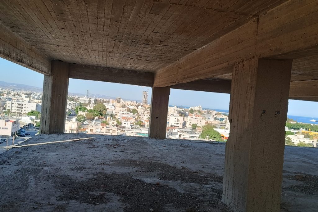
The building’s architecture reflects the construction styles common in Limassol through the mid-20th century, before the concrete-and-glass aesthetic of Cyprus’s post-independence building boom fully took hold. That period’s construction used materials and methods that age visibly, and the Pieris Building shows that aging clearly. It represents a type of abandonment that is less dramatic than a flooded village or a sealed-off resort suburb, but no less real in terms of what it says about the gaps between property and use that exist in any functioning city.
Hadjipavlou Mines Olympus
The Hadjipavlou Mines site near Mount Olympus in the Troodos range is one of several copper-related mining operations in the area that ceased activity and were left in place. The Troodos Mountains sit on a massif of ophiolite rock, an exposed section of ancient oceanic crust that is extraordinarily rich in copper deposits.
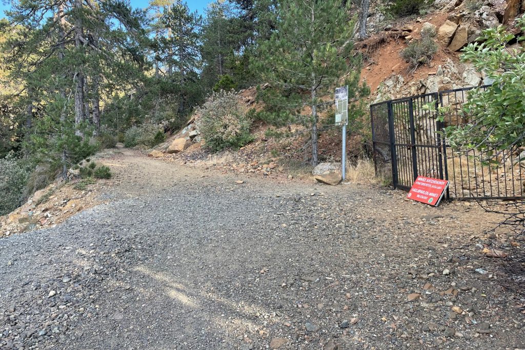
That geology made Cyprus one of the most important copper-producing regions in the ancient world, and the modern mining operations that worked the same deposits in the 20th century were following a tradition thousands of years old.
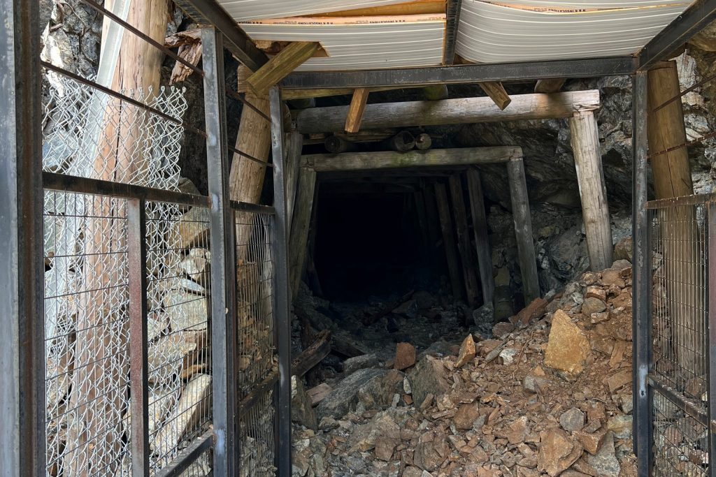
The Hadjipavlou site retains physical infrastructure from its operational period, structures and equipment that speak to the scale of labor and organization that mid-century Cypriot mining operations required. The location near Olympus, the highest point on the island at just under 2,000 meters, gives the site a particular physical character. The mountain climate is noticeably different from the coast, cooler and more variable, and the mining structures sit in this environment in a way that accelerates the weathering visible on exposed metal and concrete.
Kalavasos Mine II
Kalavasos is a village in the Larnaca district, and the mining history of the area around it goes back to antiquity. The Kalavasos Mine II site is a more recent industrial operation, part of the 20th-century effort to exploit the copper and pyrite deposits in the Troodos foothills on the southern edge of the mountain range.
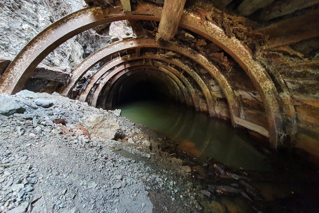
The mine closed as part of the broader contraction of Cyprus’s mining industry that took place through the latter decades of the 20th century, as ore grades declined and international copper prices made marginal operations economically unviable. What remains at the Kalavasos Mine II site includes processing structures and the characteristic spoil heaps and open pit features of a mid-scale copper mining operation.
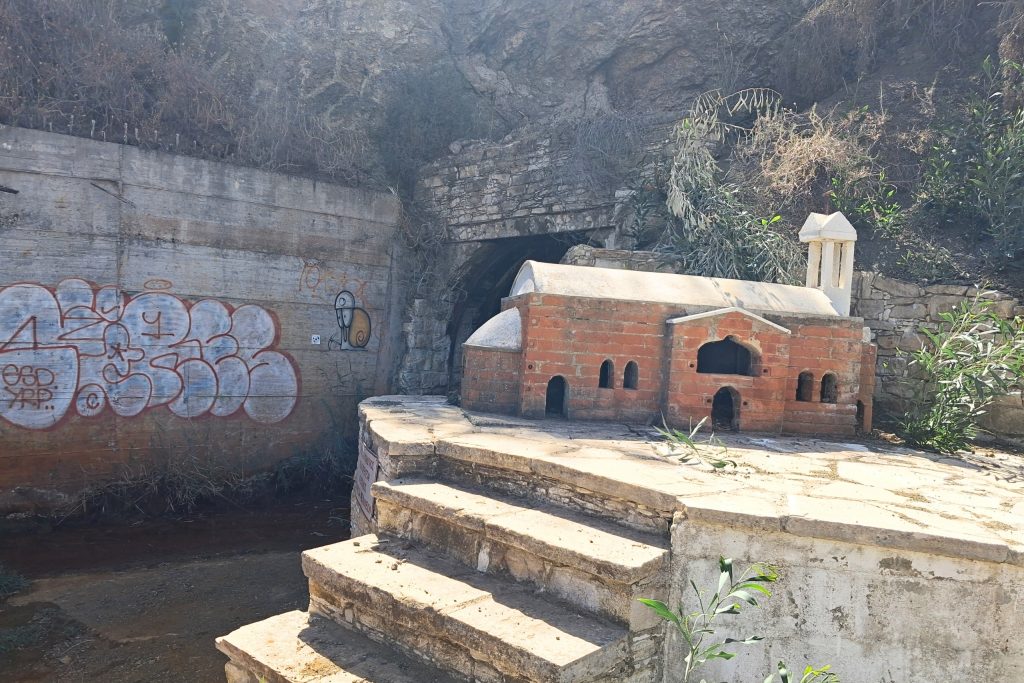
The Larnaca district setting is distinct from the high Troodos mines. The terrain here is gentler, the climate drier, and the surrounding landscape more agricultural than forested. The abandoned mine sits in this relatively open landscape with good visibility, which makes it easier to read the spatial logic of the operation than at sites buried in dense mountain forest.
Amiantos Abandoned Mine
The Amiantos asbestos mine is the most significant industrial abandoned site in Cyprus, and one of the most significant in the Mediterranean region. The largest asbestos mine in Europe and one of the most important in the world, the mine at Amiantos Village produced an estimated one million tonnes of asbestos fibres and 130 million tonnes of asbestos stone from the start of organized production in 1904 until its closure in 1988.
The mine was active between 1908 and 1988, with large-scale excavation and processing operations beginning in the 1950s. The mine site grew to be more than 2 kilometers wide, with a central open pit surrounded by piles of tailings approximately 200 meters high. The scale of that excavation is difficult to convey in description. Standing at the edge of the open pit, you are looking at a wound in the Troodos landscape that is visible from a significant distance.
Following a continuous operation of 84 years, the mine came to a sudden closure in 1988, leaving behind large volumes of waste tips, a badly designed mine pit, and enormous workings as a serious scar on the landscape of the Troodos. The reason for closure was not the depletion of the ore body but the global shift in attitudes toward asbestos, as its serious health risks became widely understood and international demand collapsed.
After closure in 1988, the site was abandoned for several years before a remediation program including revegetation was initiated in the early 21st century and remains ongoing. The open pit area has undergone rehabilitation, with some reprofiling of mine benches and channeling of run-off water into a central lake. A visitor center now operates at the site, housed in a former mine building within the Troodos Geopark.
Amiantos Abandoned Hospital
Directly connected to the mine’s history, the Amiantos hospital is one of the more unusual abandoned structures in the Troodos Mountains. The mine left behind a hospital, which now stands abandoned on the other side of the valley from the main mine workings.
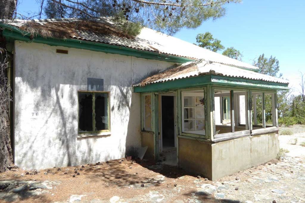
The hospital was built to serve the mining community at Amiantos, which at its peak was a substantial settlement with its own social infrastructure. Thousands of workers and their families lived and worked in the area during the mine’s most productive decades, and the hospital was a necessary part of that community’s functioning.
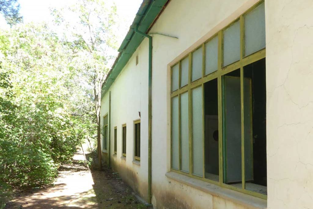
When the mine closed in 1988 and the community dispersed, the hospital lost its purpose along with everything else connected to the operation. The building still stands in the valley opposite the main mine pit, its structure largely intact but its interior stripped and deteriorating.
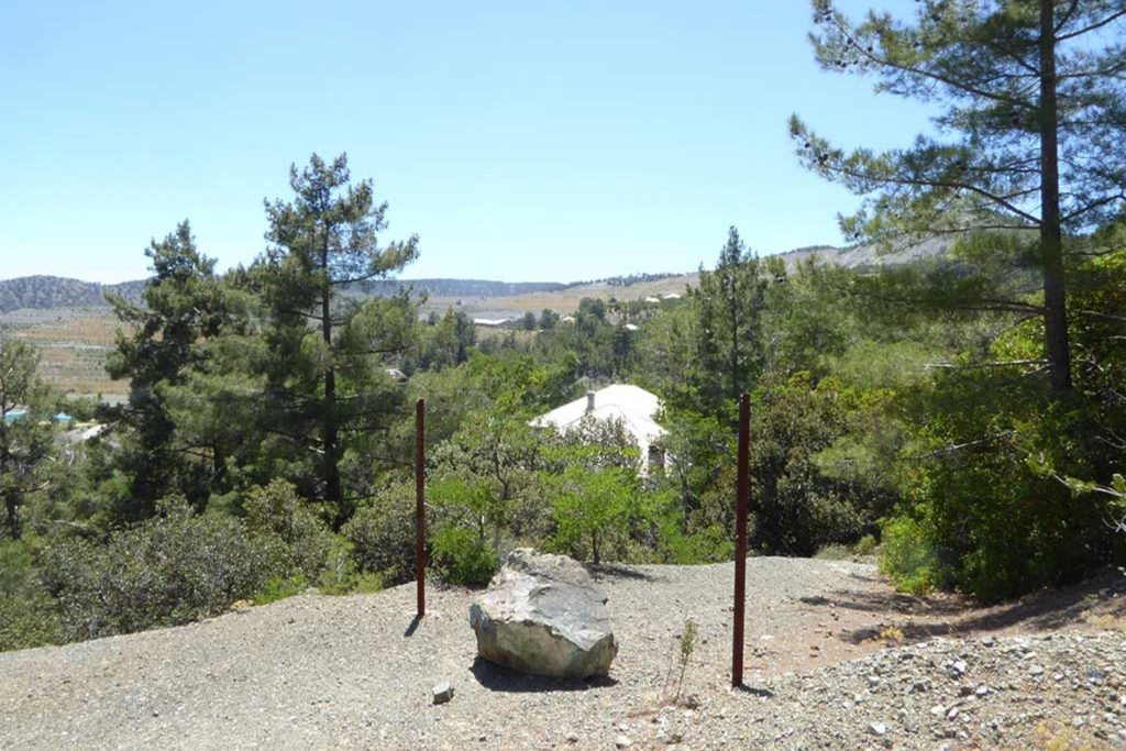
For anyone visiting the Amiantos mine site itself, the hospital is visible across the valley and represents the human dimension of the industrial history more directly than the processing structures and tailings piles of the mine do. A medical facility built to care for workers who were, in retrospect, being exposed to material that was slowly damaging their health carries a particular weight as a piece of industrial heritage.
Star Luna Park (Near Larnaca)
The Star Luna Park near Larnaca is less well-documented than the abandoned amusement park near Limassol, but it represents the same phenomenon. Cyprus had several small amusement parks that served local communities through the 1970s and 1980s, operating on a modest scale that was appropriate for the population they served. As entertainment options multiplied and families’ expectations for leisure experiences changed, these parks found it increasingly difficult to sustain operations.
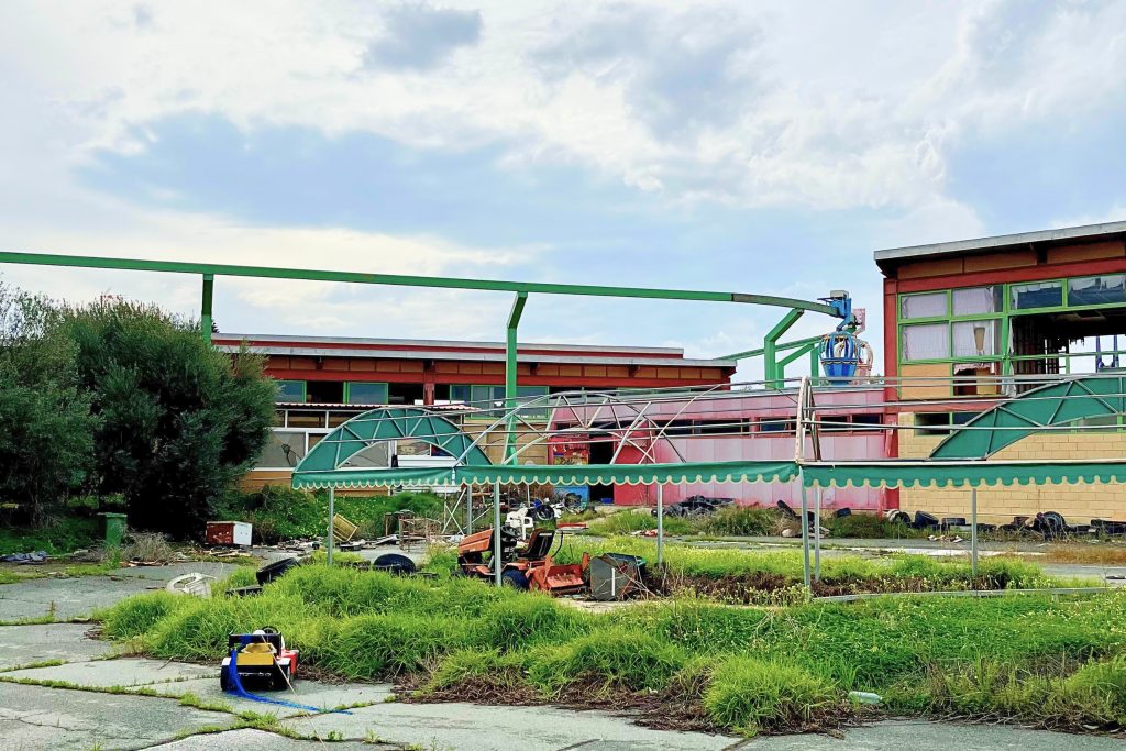
The Star Luna Park closed at some point after its peak years of operation, and the equipment and structures were left in place rather than dismantled or repurposed. The Larnaca district location gives it a landscape setting different from the Troodos sites, flat and coastal-adjacent, with the dry scrub and open sky typical of the eastern part of the island. Rusted ride infrastructure and the remnants of the park’s operational facilities are what remain, in a state of decay that reflects decades of exposure to the Mediterranean climate without maintenance.
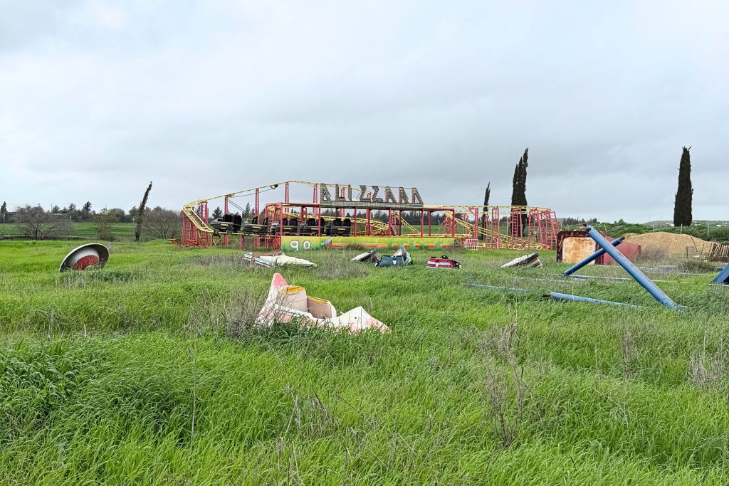
The Star Luna Park has a smaller footprint than the more famous Limassol site and receives fewer visitors, which means it has been less photographed and less documented in the urban exploration community. That relative obscurity has also meant less informal disturbance to the site. For anyone making a circuit of Cyprus’s abandoned amusement parks, the Star Luna Park near Larnaca sits far enough from the Limassol site to justify a separate trip and offers a genuinely different experience of the same kind of place.
Can You Visit These Abandoned Places?
Access varies significantly across this list. The Amiantos mine and its associated hospital are the most formally visitor-ready, with a geopark visitor center, marked trails, and a managed approach to the site. The Salamis ruins, including the Temple of Zeus, require a paid entry ticket and sit in the north of Cyprus, accessible via designated crossings. Sites like the Agia Zoni Church of Varosha and the Agios Anastasios church in Peristeronopigi are in occupied territory, accessible only via checkpoints from the south. The rural and urban abandoned sites in the south, including the mines, the ranch, and the luna parks, have no formal visitor infrastructure. Bring solid footwear, water, offline maps, and leave every site exactly as you find it.