Cyprus Discovery
What interests you?
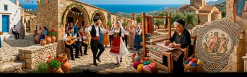
Discover Cyprus Heritage by Categories
Begin your exploration of the island’s iconic landmarks and vibrant culture.


Timeline
-
Republic and Modern Cyprus1960 AD – Current day
Independence, division, European integration and living memory define the island’s modern timeline.
-
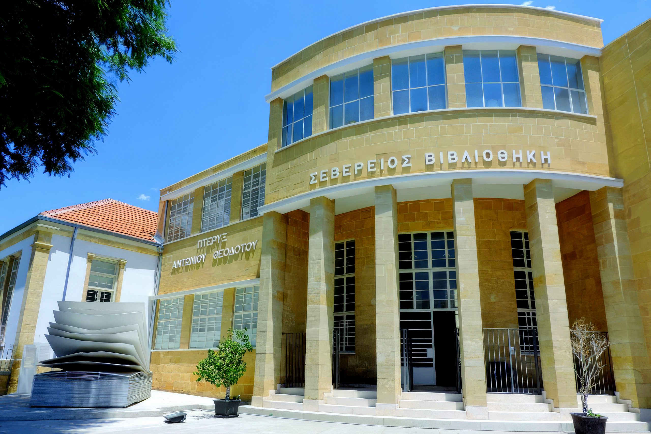
British colonial period1878 AD – 1960 AD
British colonial rule introduced modern institutions, infrastructure and the path toward independence.
-
Ottoman period1571 AD – 1878 AD
Ottoman centuries brought new administration, religious communities and enduring changes to island society.
-
Lusignan and Venetian rule1191 AD – 1571 AD
Crusader Lusignan rule and later Venetian administration reshaped Cyprus as a Latin Mediterranean power.
-
Byzantine era395 AD – 1191 AD
Byzantine Cyprus developed as an eastern Christian society of monasteries, fortresses and medieval identity.
-
Roman period30 BC – 395 AD
Roman rule linked the island to imperial administration, urban life and Mediterranean commerce.
-
Hellenistic period332 BC – 30 BC
Cyprus entered the Hellenistic orbit through Alexander’s successors and wider eastern Mediterranean networks.
-
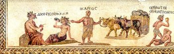
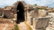
Ancient city-kingdoms1050 BC – 332 BC
Independent city-kingdoms, harbours, temples and cult sites shaped a distinct ancient Cypriot world.
-
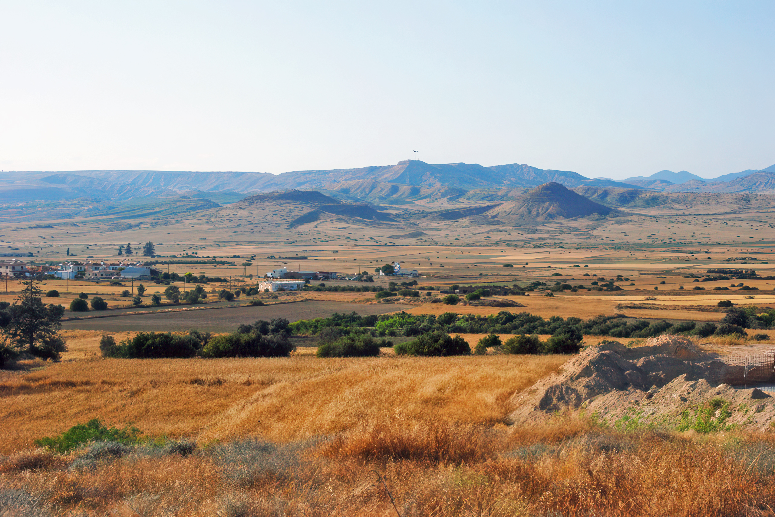
Chalcolithic and Bronze Age3900 BC – 1050 BC
Copper working, bronze traditions and expanding trade connected Cyprus more closely to the wider Mediterranean.
-
Prehistoric and Neolithic periods11000 BC – 3900 BC
The island’s earliest communities, farming settlements and ritual landscapes laid the foundations of Cypriot civilisation.
Fascinating Topics
Dive into the stories that captivate and inspire.


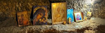
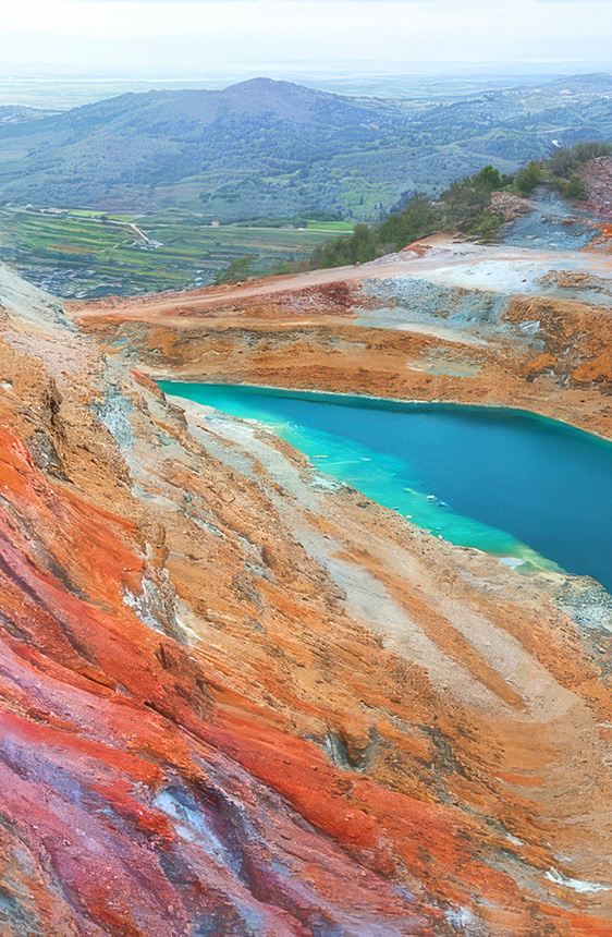
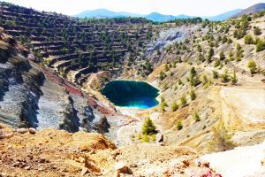
Cyprus: A Tapestry of Life
Uncover the island’s spiritual depth, natural beauty, and diverse ecosystems.

Curated Insights
Journey through Cyprus's most intriguing stories and themes.


Cyprus Unveiled
Discover the island's secrets and learn what lies beyond the familiar.


About Us
Our website is the product of a passionate team deeply devoted to Cyprus and its rich history. Empowered by Sergey Matsotskiy and headed by Michael Dubilet, our project was made possible by specialists – historians, oceanologists, geologists, and writers – dedicated to uncovering and sharing the island’s lesser-known treasures. The advisory board includes eminent scholars, including Dr. Petros Papapolitiou, Dean of the Faculty of Letters at the University of Cyprus; Dr. Charalambos Alexandrou, President of the EOKA Liberation Foundation; and many others. Our creative team includes Konstantinos Panagi, Vasily Papkovsky, Konstantin Soloviev, and many others.

Beyond the Obvious
Learn stories and themes that define Cyprus.