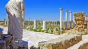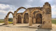
Cyprus is one of the most historically layered islands in the Mediterranean. Underneath the resort towns and the beach clubs and the well-worn tourist trails, there is another Cyprus entirely. It shows up in the form of stone houses with no roofs, churchyards with no congregation, and village squares where the only regular visitors are photographers and the occasional goat.
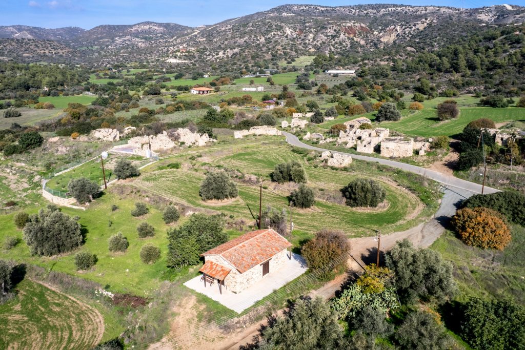
The abandoned villages of Cyprus number in the dozens, scattered across every district on the island. Some were emptied by war. Some by flood. Some by the slow, quiet pull of better economic prospects in the cities. This guide covers 16 of them, what they were, why they emptied, and what you will actually find if you make the drive out.
Turkish Cypriot Abandoned Villages in South Cyprus
When the intercommunal violence of the 1960s escalated and the events of 1974 redrew the political map of Cyprus, the displacement was not one-directional. Tens of thousands of Turkish Cypriots who had lived in the south moved north, leaving behind villages, farmland, and houses that stood empty from that point forward. The villages in this section represent that specific history. They are not ruins in the archaeological sense. They are communities that functioned within living memory, and the evidence of that functioning is still physically present in the stone and the soil.
Foinikas Village (Paphos)
Foinikas sits in the Paphos district, set into the agricultural lowlands that run between the coast and the Troodos foothills. Before 1974, it was a small but functional Turkish Cypriot farming settlement. The residents grew citrus and kept livestock on land that had supported their families for multiple generations. When the displacement happened, the village emptied quickly, and it has remained empty since.
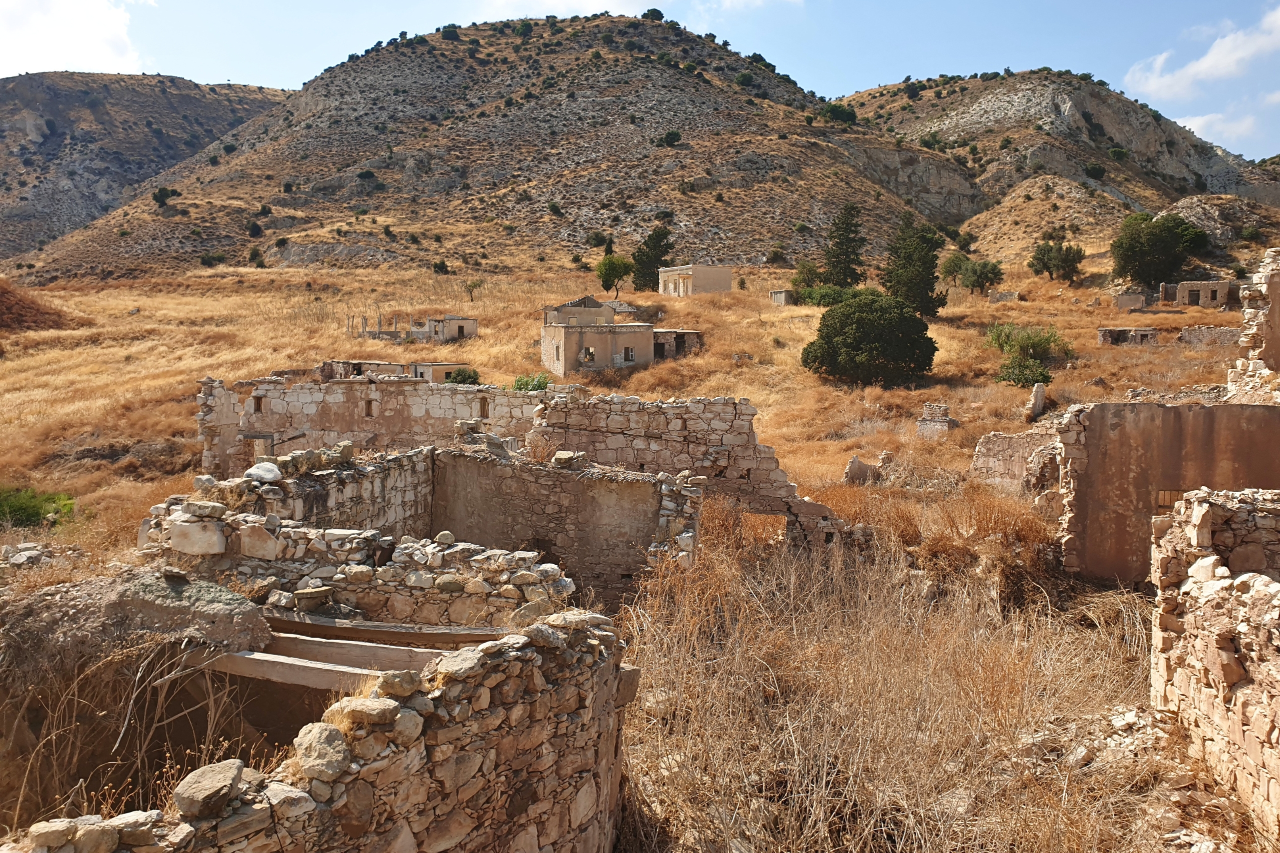
What survives at Foinikas is a compact collection of vernacular stone architecture typical of rural Paphos. The house walls are thick, built to hold cool air in summer and trap warmth through the mild Cypriot winters. Most of the roofs are gone now, the timber structures that supported them long since rotted through or pulled out. But the walls themselves hold. Several buildings retain their original doorframes, and in a few cases the carved stone lintels above the entrances are still in good condition, evidence of the craftsmanship that went into structures that were meant to last.
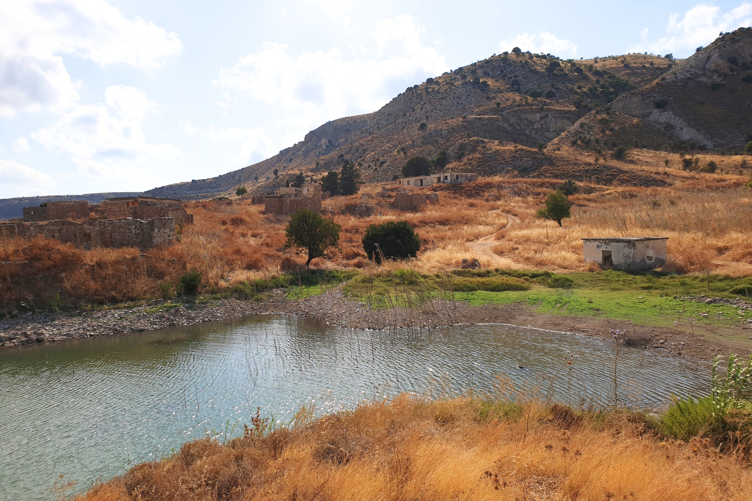
The village mosque, a modest single-room structure, still stands at the center of the settlement. The minaret is partially intact. It is not a grand piece of architecture by any standard, but its presence is significant. It marks the community’s religious and cultural identity clearly, in a place where that identity has had no living representative for over 50 years. The surrounding farmland has gone back to scrub, the irrigation channels are dry, and the old field boundaries are only readable now if you know what you are looking at.
Evretou Village (Paphos)
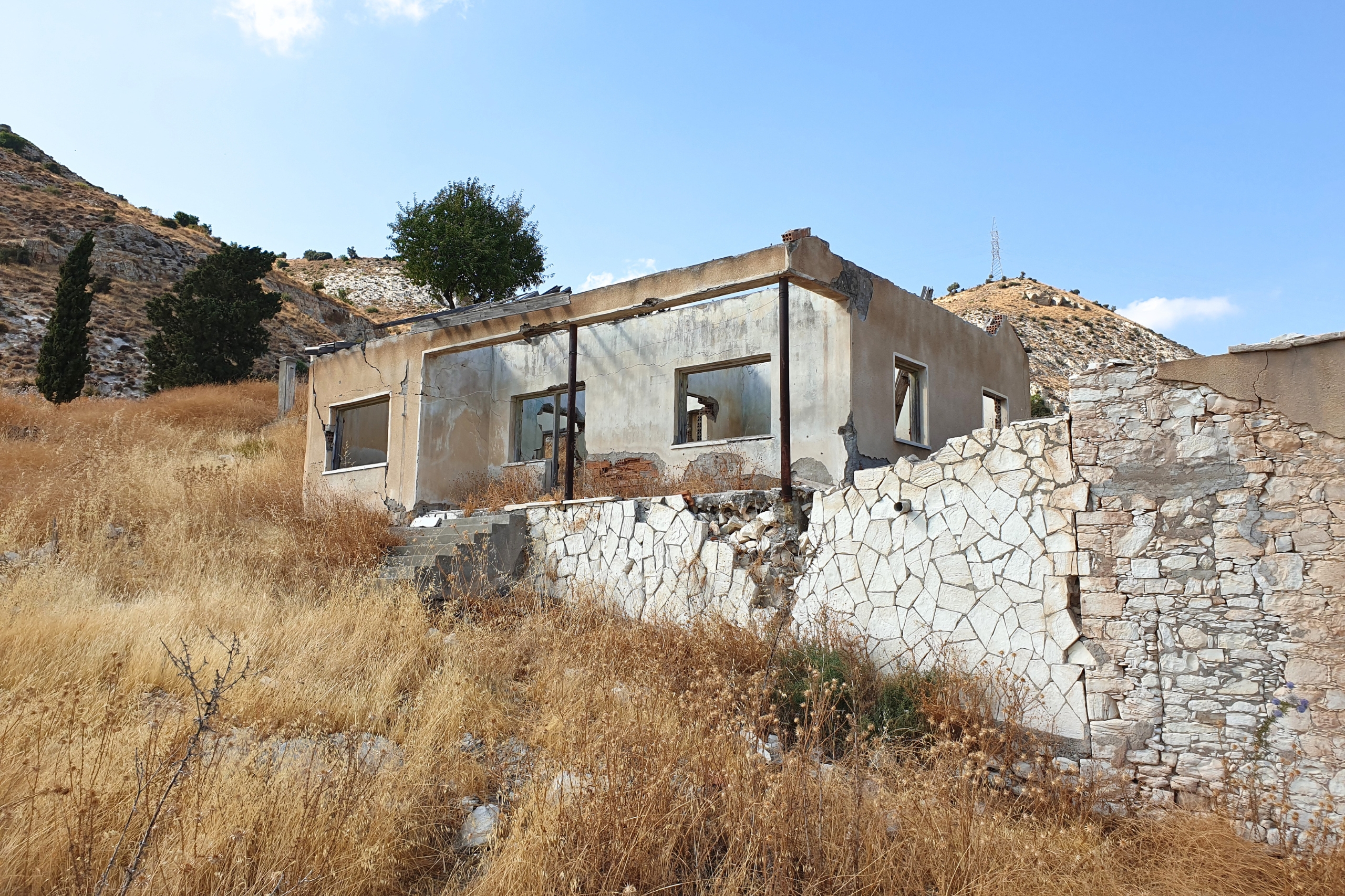
Evretou is one of the more unusual entries on this list because its abandonment did not come solely from the events of 1974. The original village had a mixed population, and a portion of its Turkish Cypriot residents had already relocated north before the Evretou Dam project came along and finished what displacement had started.
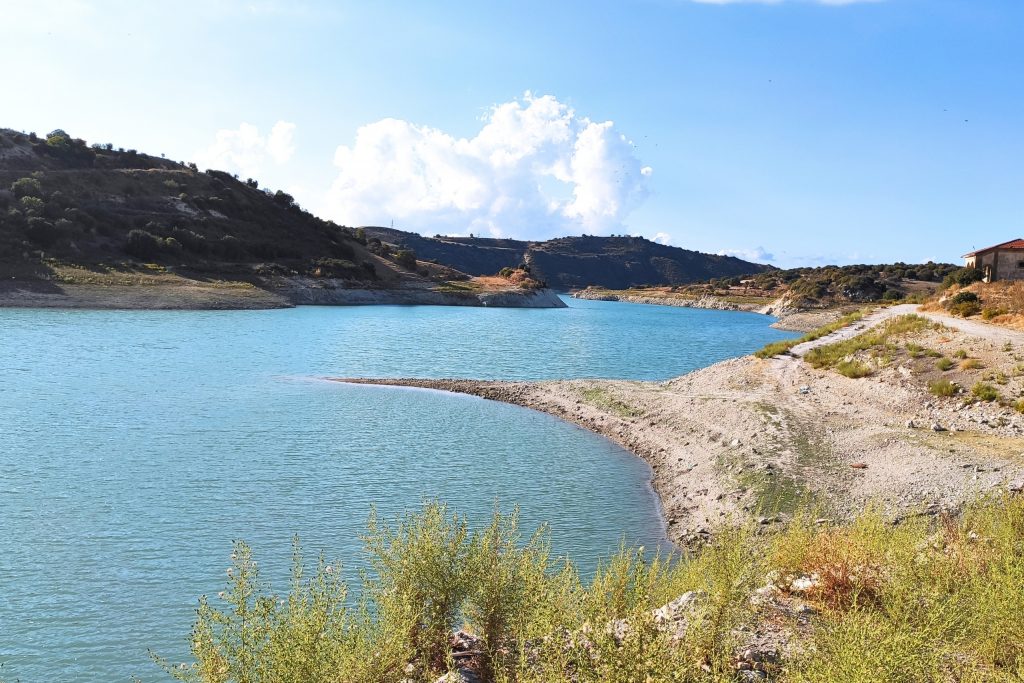
The dam, completed in 1986, is the largest earthfill dam in Cyprus. The reservoir it created swallowed the lower sections of the original village, and the remaining residents, both those who had stayed through the 1970s and any who might have considered returning, were relocated to a new settlement nearby that carries the same name. The old village was left behind, partly above water and partly beneath it.
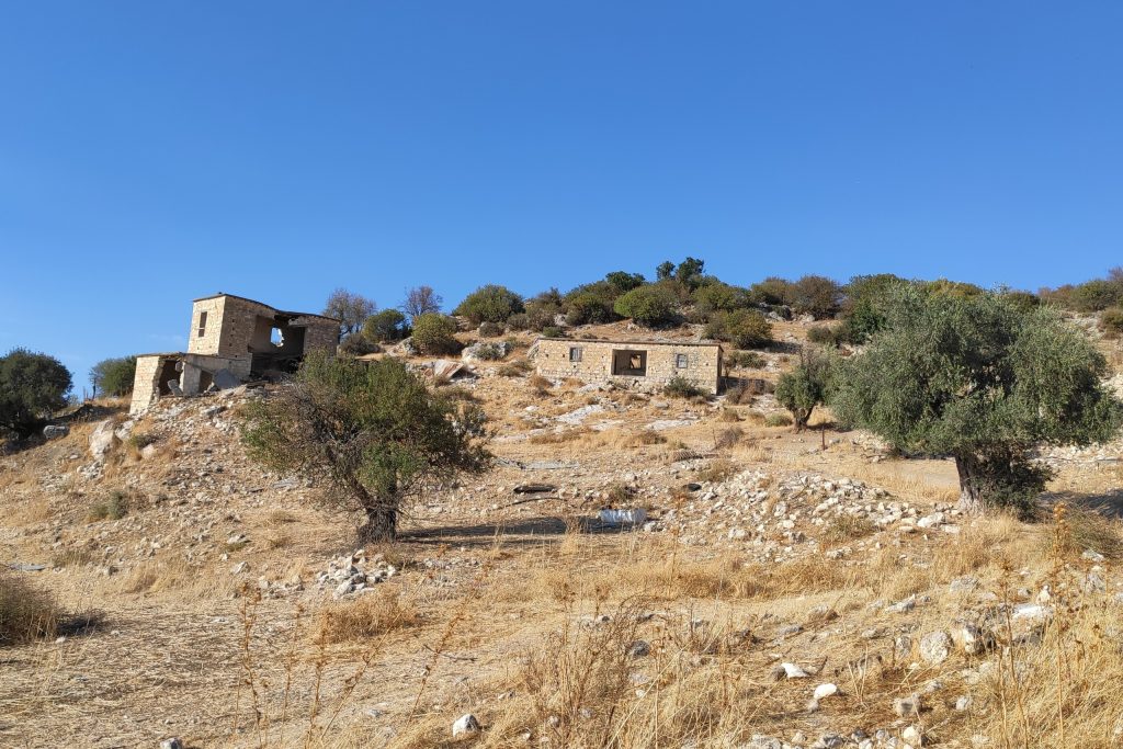
In dry years, when the reservoir drops significantly, the submerged foundations resurface. Stone walls emerge from the waterline, old thresholds become visible, and the outline of a settlement that was a living place within living memory comes back into view. It is one of the more genuinely affecting sights in Cyprus, not dramatic in any obvious way, but deeply unsettling once you know what you are looking at.
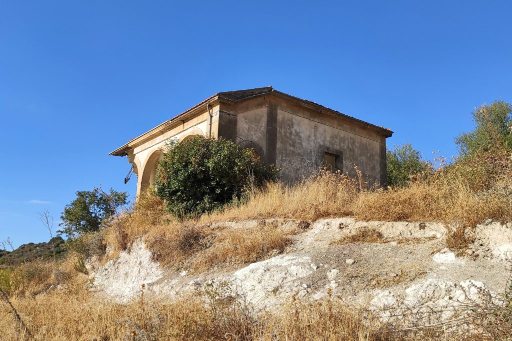
Families from the new Evretou sometimes walk down to the waterline during these periods and stand at the edge of the reservoir looking at the foundations of houses their relatives once lived in. The dam serves a real agricultural purpose for the region. That practical fact and the human cost of its construction sit alongside each other without resolving.
Androlikou Village (Paphos)
Androlikou occupies a remote position in the northwestern corner of Cyprus, in the Paphos Forest region close to the Akamas Peninsula. The village was small to begin with, and its Turkish Cypriot population departed after 1974 along with the broader wave of displacement that emptied dozens of settlements across the south. What makes Androlikou distinct is its location.
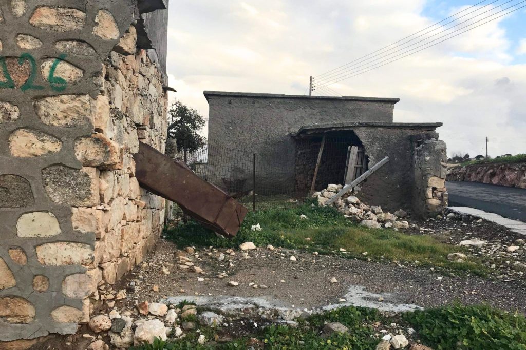
The Akamas Peninsula is one of the least developed areas of Cyprus, protected in large part by its terrain and its distance from the coastal development that transformed other parts of the island. Androlikou sits at the edge of that landscape, surrounded by dense pine and juniper forest on terrain that requires a high-clearance vehicle and some patience to reach. That geographic isolation has served as a form of unintentional preservation. The village has not been subject to the informal stripping of architectural details that has affected more accessible sites.
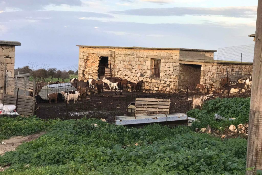
The stone houses here are in various states of structural decay, but several retain their basic forms intact, walls standing, doorframes in place, interior features still recognizable as features. A small church anchors the village center, which is consistent with virtually every Cypriot settlement of any religious community.
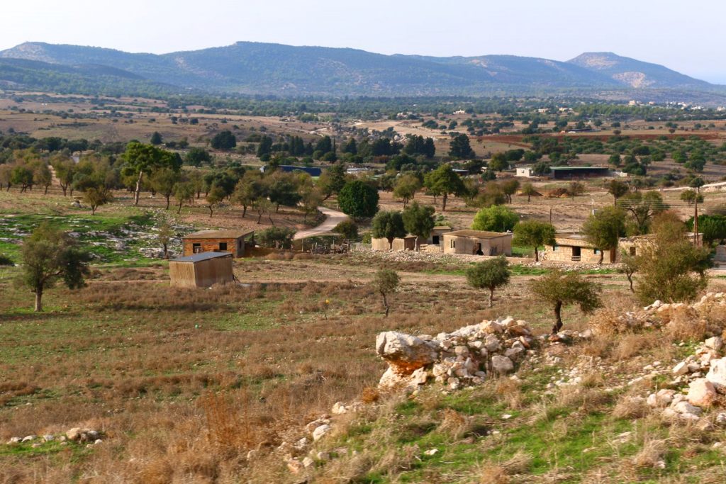
The forest around the village has grown thick and close over the past five decades, and the combination of dense tree cover and complete silence gives the site a quality that is hard to articulate but immediately felt. There is no background highway noise, no distant construction. The closest sounds are wind and birds.
Gerovasa Village (Limassol/Paphos Border)
Gerovasa occupies a hillside position in the area where the Limassol and Paphos districts meet, in the foothills that rise toward the southern edge of the Troodos range. Its Turkish Cypriot population left after 1974, though the village’s depopulation had begun somewhat earlier as economic migration pulled residents toward the coast. By the time the political events of that decade ran their course, Gerovasa was effectively empty.
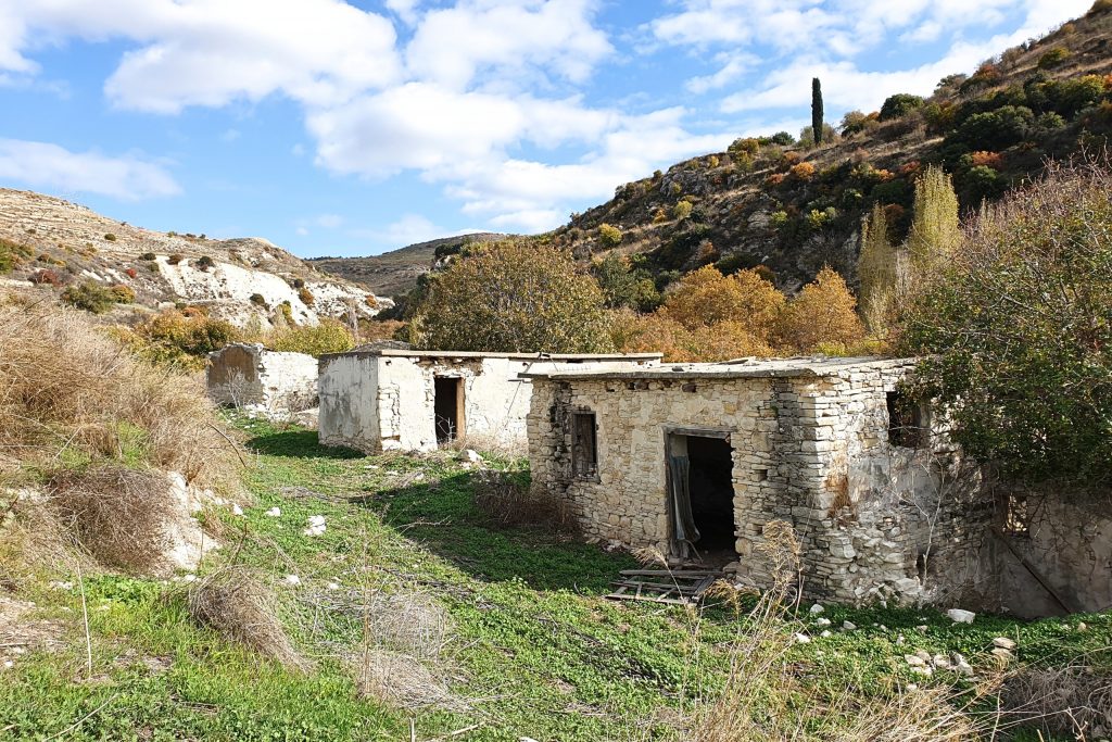
The houses at Gerovasa are built directly into the hillside in a way that was practical for its time and looks striking now. The stone construction follows the natural contours of the terrain, which means the ruins do not sit on flat ground but stack and step with the slope. Walking through the village requires actual elevation gain in places, and that physical engagement with the landscape adds a dimension to the experience that flat-site ruins do not offer.
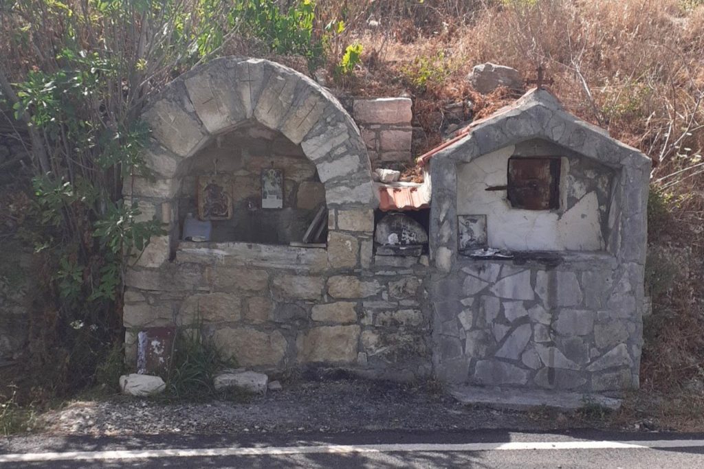
A Byzantine-era church in the village center has received periodic attention from preservation advocates and remains structurally sound. The surrounding residential structures are less fortunate. Roofs are gone across most of the settlement, and several buildings have partially collapsed inward. But the village layout remains readable. You can trace the old paths between houses, identify where communal gathering areas once were, and get a clear spatial sense of how the community organized itself across the hillside. Gerovasa does not have the dramatic visual centerpiece of some other abandoned villages, but as a piece of vernacular Cypriot architecture in an honest state of decay, it holds up.
Zacharia Village (Paphos)
Zacharia is one of the smaller and lesser-documented abandoned villages in the Paphos district. Its Turkish Cypriot residents departed after 1974, and the village has received relatively little attention from historians or preservationists in the years since. That neglect is visible in the condition of the site.
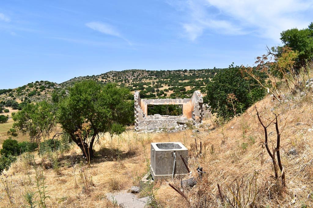
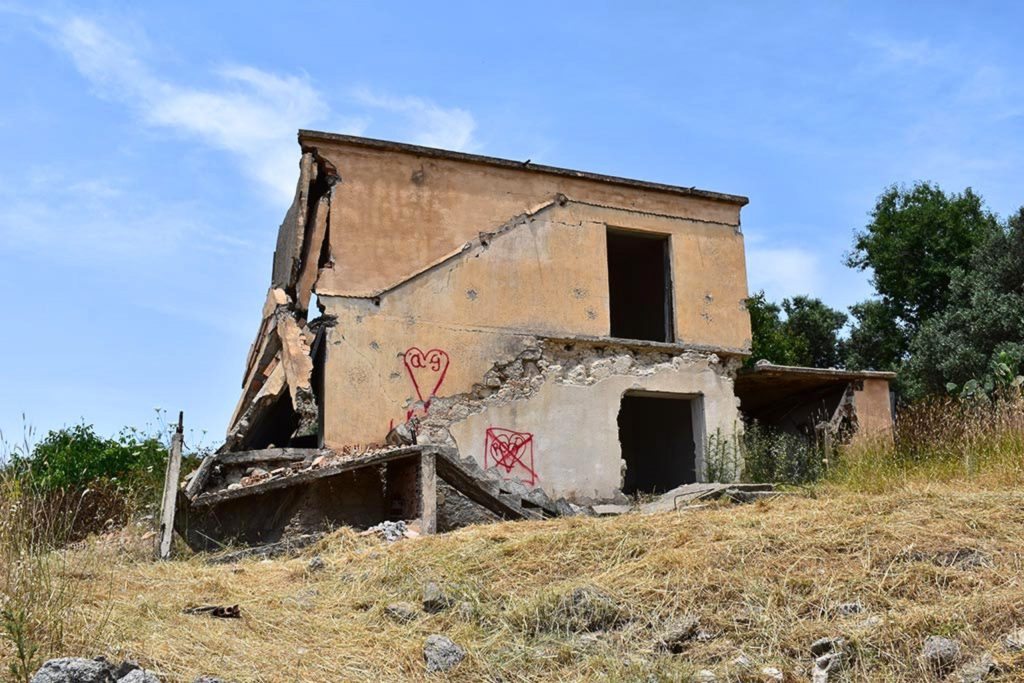
The architecture at Zacharia follows the standard rural Paphos template, stone construction on modest footprints, thick walls, small window openings designed to minimize heat gain. The difference from better-documented sites is the degree of deterioration. Without any intervention, natural or otherwise, the buildings have been reclaiming their constituent materials at the pace that physics dictates. Roofing timber rots, stone mortar softens over time without maintenance, and the structures that depended on those elements for their integrity slowly lose their form.
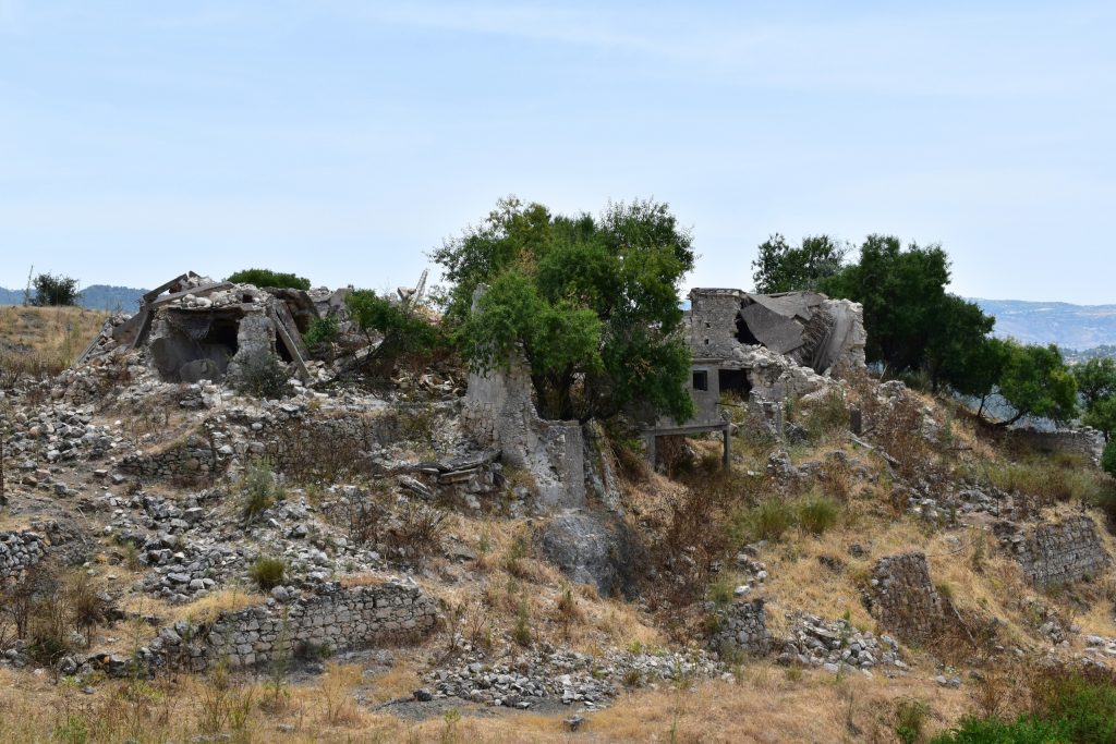
What remains is fragmentary in places, but there are still full wall sections standing and enough structural integrity in several buildings to give a sense of the original settlement’s scale and layout. The village is not a destination in the way that Agios Sozomenos is, but for anyone seriously interested in the breadth of Cyprus’s abandoned settlement landscape, Zacharia represents an important data point. It shows what happens to these places without any form of intervention, natural or institutional, over the course of five decades.
Maronas Village (Paphos)
Maronas sits in the agricultural interior of the Paphos district, in terrain that was productive farming land before the village was abandoned following 1974. The Turkish Cypriot community that lived here worked the surrounding fields for generations, and the relationship between the village and its agricultural hinterland is still legible in the landscape, in the old stone terrace walls that run across the hillsides outside the settlement, built by hand to create flat planting surfaces on sloped ground.
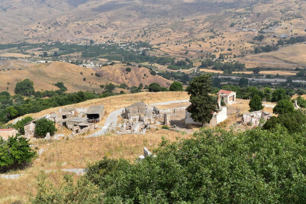
The terracing at Maronas is one of the more visually interesting aspects of the site. Traditional Cypriot agricultural terracing required significant collective labor and represented a serious long-term investment in land productivity. The terraces at Maronas are still structurally intact in many places, overgrown now but maintaining their form. They are a record of agricultural practice that predates mechanized farming on the island, and they give the surrounding landscape a distinctive appearance that is worth noting on its own terms.
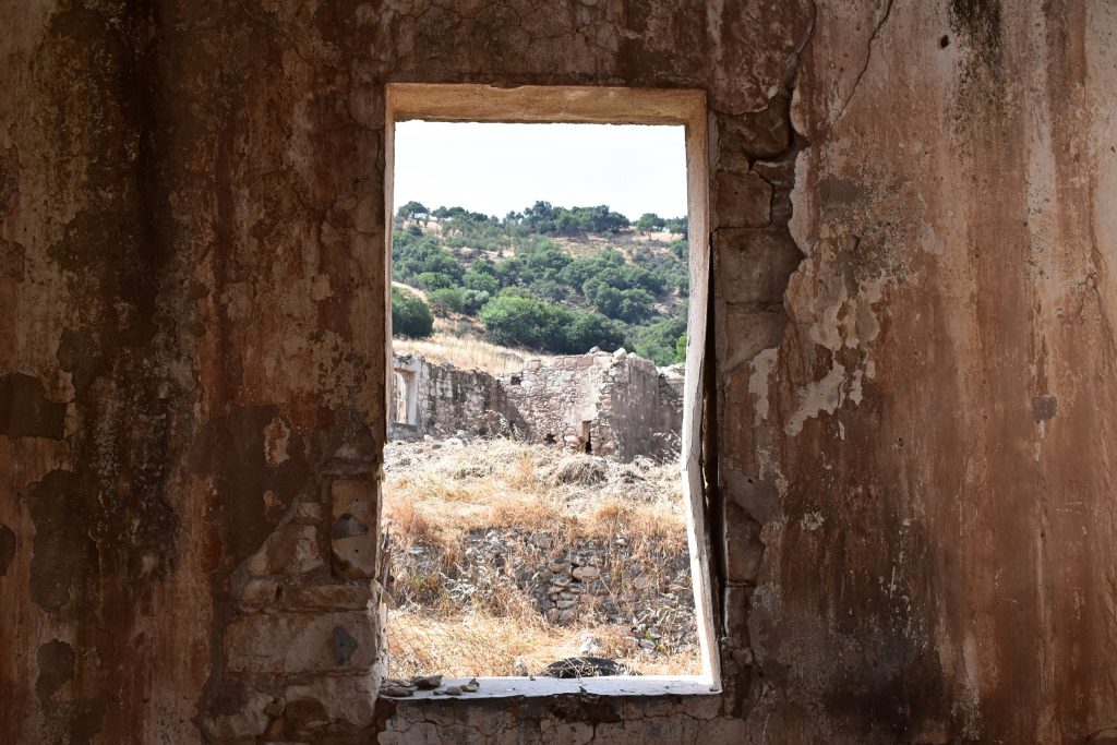
The village structures themselves are in moderate to poor condition. Several wall sections have collapsed, and the central communal spaces are heavily overgrown. A small mosque structure is still identifiable at the village center. The combination of the settlement ruins and the surrounding terraced landscape makes Maronas a more complete picture of a functioning rural community than many sites where only the buildings survive.
Melandra Village (Paphos)
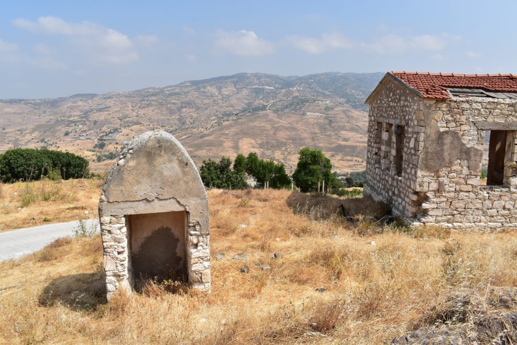
Melandra is located in the Paphos district on terrain that is rougher and less accessible than many of the lowland villages in the area. The village’s Turkish Cypriot residents left after 1974, and its remote position has meant that it receives very few visitors and very little documentation.
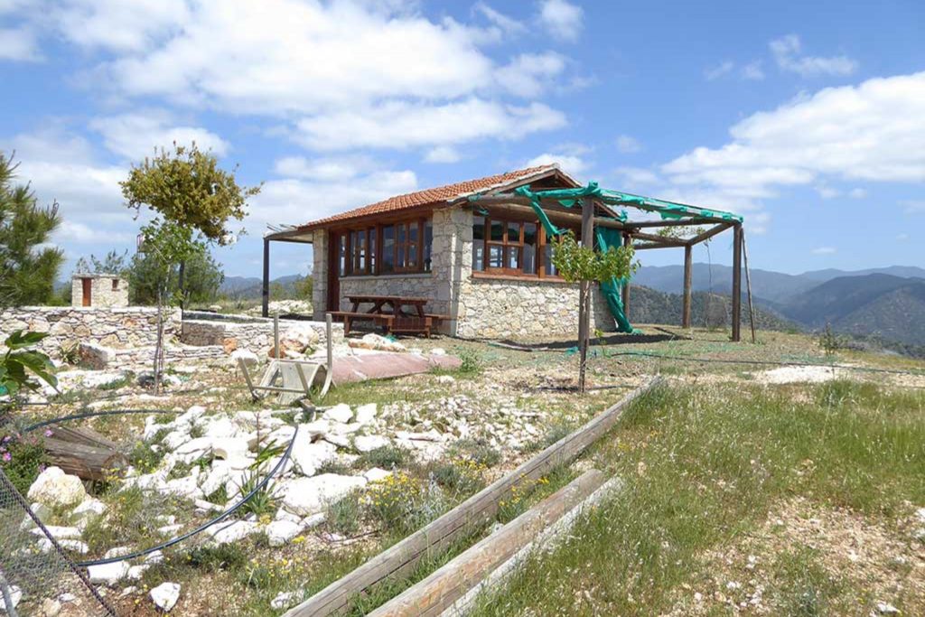
The site is characterized by dense vegetation that has advanced significantly over the past five decades. What were once clear sight lines through the village are now interrupted by mature trees and heavy scrub. The stone structures survive beneath and alongside this growth, but finding and moving through them requires more physical effort than at more accessible sites. That difficulty is also the reason Melandra has retained more of its original character than villages closer to paved roads. There has been no casual foot traffic to wear paths through the overgrowth, and the absence of visitors has meant the absence of the informal removal of architectural elements that affects other sites.
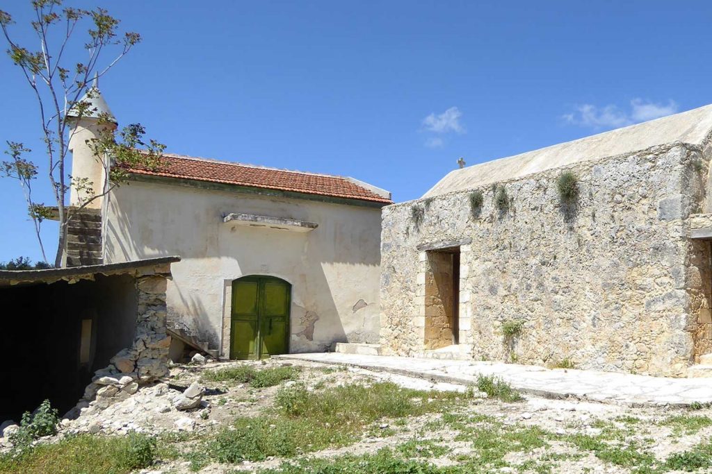
For urban explorers and photographers willing to put in the work, Melandra offers something closer to a genuinely undisturbed abandoned settlement than most places on the island. The stone walls that survive are in relatively good condition, the mosque is still identifiable, and the overall layout of the village can be traced with some effort. It is not a comfortable or easy visit, but it is an authentic one.
Pitargou Village (Paphos)
Pitargou is another small Turkish Cypriot settlement in the Paphos district that emptied following 1974 and has remained unoccupied and largely undocumented since. The village sits in the rolling agricultural terrain that characterizes much of inland Paphos, on land that was under active cultivation when its residents were present.
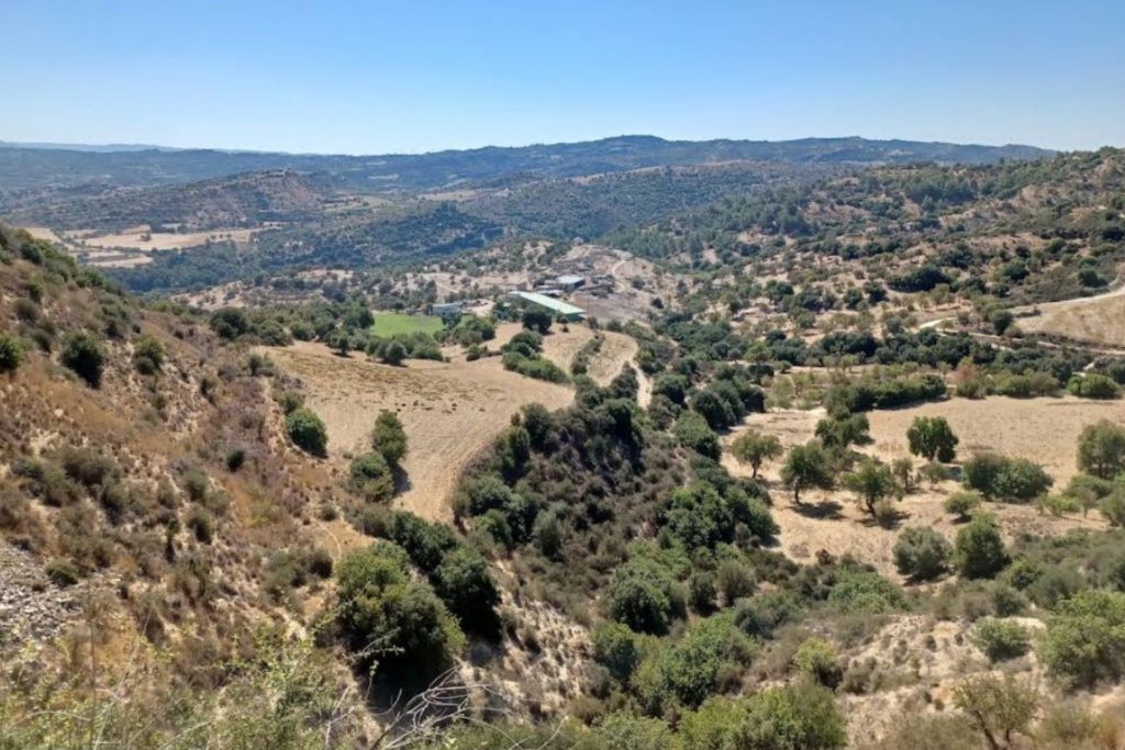
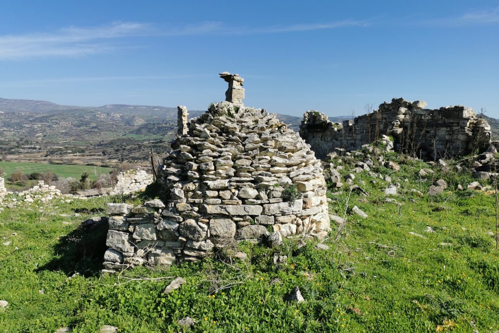
The architecture at Pitargou reflects the practical priorities of a farming community. The houses are functional structures, well-built but without the decorative stone carving that appears in some wealthier villages. The emphasis was on durability and thermal performance rather than ornamentation, and those priorities show in what survives. The wall construction is solid, built from the local limestone that defines rural architecture across this part of Cyprus, and several buildings retain enough structural integrity to convey their original form clearly.
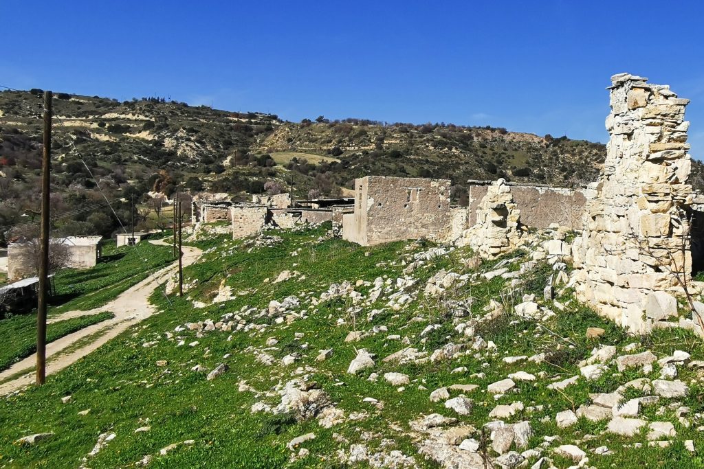
The surrounding land has reverted to a mix of wild grass, scrub, and the remnants of the old field system. Without regular plowing and planting, the soil surface has stabilized and the vegetation has moved in. Old olive trees that once marked field boundaries are still present and still productive in the way that mature olives tend to be regardless of whether anyone is harvesting them. The combination of ruined architecture and continuing agricultural landscape gives Pitargou a particular texture among the abandoned villages of the district.
Kidasi Village (Paphos)
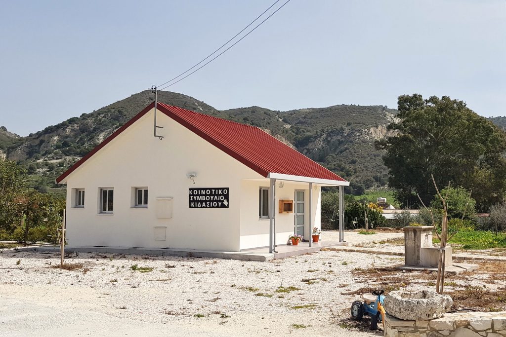
Kidasi sits in a valley in the Paphos district and has a slightly more complex history than some of the other villages in this section. Archaeological evidence suggests the area has been inhabited since antiquity, and the village that stood here in the 20th century was built on a landscape with a much longer human story beneath it.
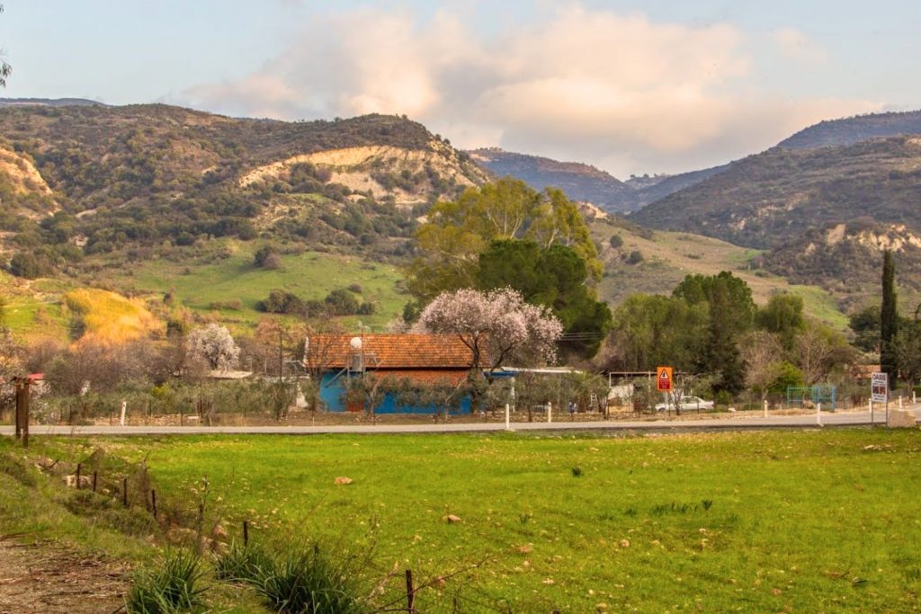
The Turkish Cypriot community that occupied Kidasi in modern times maintained the village as an agricultural settlement through the mid-20th century before the displacement of 1974. What the site offers today is a layering of history that is unusual even by Cypriot standards. Surface finds and visible structural remains suggest occupation across multiple periods, and the 20th-century village sits on top of that longer timeline in a way that rewards careful observation.
The modern village ruins are consistent with what you find at other Paphos district settlements of similar size and age. Stone houses in various states of decay, a central religious structure, a few cafes, and the remnants of the field system surrounding the built area. What distinguishes Kidasi is the archaeological depth of the landscape around it and the sense that the Turkish Cypriot community of the 20th century was itself occupying a site with a much older human history. That layering makes Kidasi one of the more intellectually interesting sites in the district for anyone with a serious interest in Cypriot history.
Souskiou Village (Paphos)
Souskiou is one of the most archaeologically significant sites among the abandoned villages of the Paphos district, though that significance is not widely known outside specialist circles. The area around the village contains Chalcolithic period remains, placing human occupation here in the fourth and third millennia BCE, and formal excavations have been conducted at the site by archaeological teams over the past several decades.
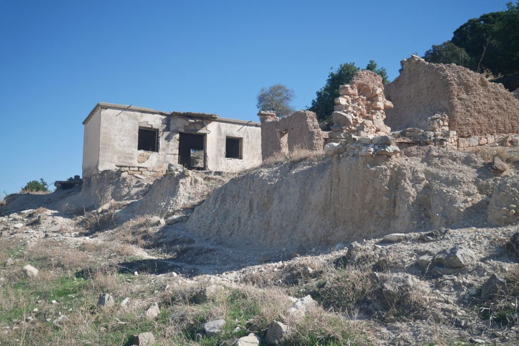
The 20th-century village that sits above this prehistoric landscape was a Turkish Cypriot settlement that emptied after 1974. The modern ruins are unremarkable in architectural terms, consistent with rural Paphos construction of the period. But the context in which they sit is extraordinary. The Souskiou-Vathyrkakas cemetery, excavated by archaeologists, produced some of the finest Chalcolithic picrolite figurines ever found in Cyprus, objects that are now held in Cypriot museums and studied as primary evidence for prehistoric ritual practice on the island.
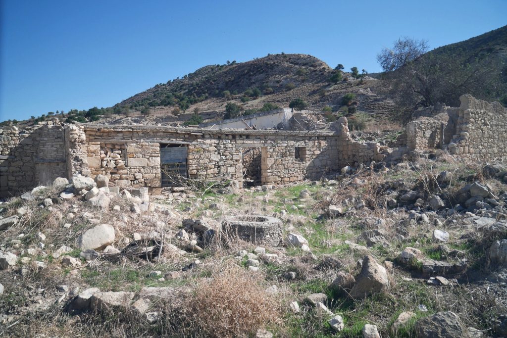
Walking through Souskiou today means moving through a landscape that has been continuously meaningful to human beings for roughly 5,000 years. The Turkish Cypriot village is the most recent layer of that history, and its abandonment in 1974 is, in the long chronology of the site, a relatively recent event. That perspective does not diminish the human cost of what happened here in the 20th century, but it does place the site in a context that makes it one of the more genuinely remarkable places on this list.
Greek Cypriot Abandoned Villages in South Cyprus
Not every abandoned village in Cyprus tells a story rooted in the political events of 1974. Several Greek Cypriot communities in the south emptied through economic depopulation, a process that played out gradually across the mid-20th century as rural Cypriots moved toward coastal cities in search of better wages and more modern living conditions. The villages in this section represent that quieter kind of abandonment, the kind that happens without a specific date or a single cause.
Old Theletra Village (Paphos)
Old Theletra sits in the Paphos district and represents the classic pattern of economic abandonment that affected dozens of rural Cypriot communities through the 1950s, 60s, and 70s. The village’s Greek Cypriot population did not leave because of violence or displacement.
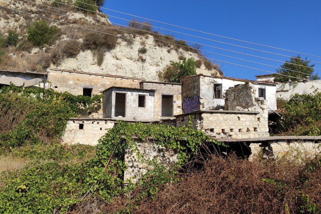
They left because the coastal cities offered jobs, schools, and infrastructure that the village could not provide. The departure was gradual, household by household, over the course of roughly two decades.
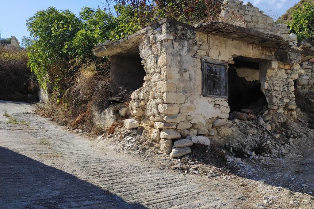
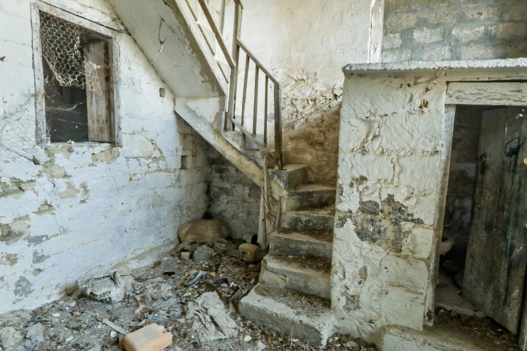
What remains at Old Theletra is a dense cluster of stone vernacular architecture in various states of decay. The houses here are typical of rural Paphos construction, thick limestone walls, small windows, flat or gently pitched roofs that have long since collapsed inward. The village church is still structurally intact and receives visits on its feast day, which technically places Old Theletra in that intermediate category of places that are not fully abandoned but are no longer inhabited in any continuous sense.
Drapia Village (Larnaca)
Drapia sits in the Larnaca district, which makes it geographically distinct from the cluster of abandoned villages in Paphos. The village was a Greek Cypriot settlement that emptied through the same pattern of rural-to-urban migration that affected communities across the island. By the 1970s, Drapia was no longer a functioning settlement in any meaningful sense.
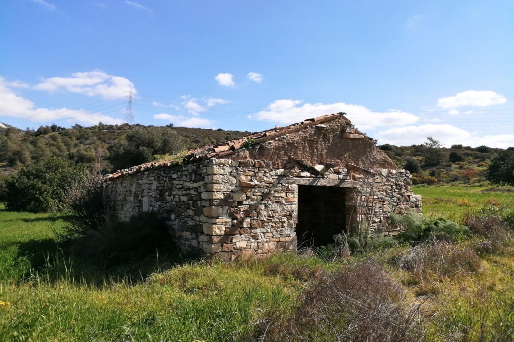
The Larnaca district’s interior is drier and more austere than the Paphos foothills, and that landscape character shapes the experience of visiting Drapia. The terrain around the village is open and exposed, with less of the forest cover that softens the ruins at sites like Androlikou or Trozena. What you see at Drapia is the settlement in full sun against a dry Cypriot hillside, which gives the ruins a particular quality of exposure that is different from the sheltered, overgrown quality of the western district sites.
The stone construction at Drapia reflects local building traditions that differ slightly from those in Paphos, with some variation in the limestone types used and in the mortar compositions that have weathered differently over the decades. For anyone interested in the regional variation of Cypriot vernacular architecture, Drapia offers a useful comparison point to the Paphos district villages. For the general visitor, it is a straightforwardly compelling abandoned settlement on a dry Larnaca hillside with good views and no crowds.
Parsata Village (Larnaca)
Parsata is another Larnaca district village that emptied through economic migration in the decades following Cypriot independence.
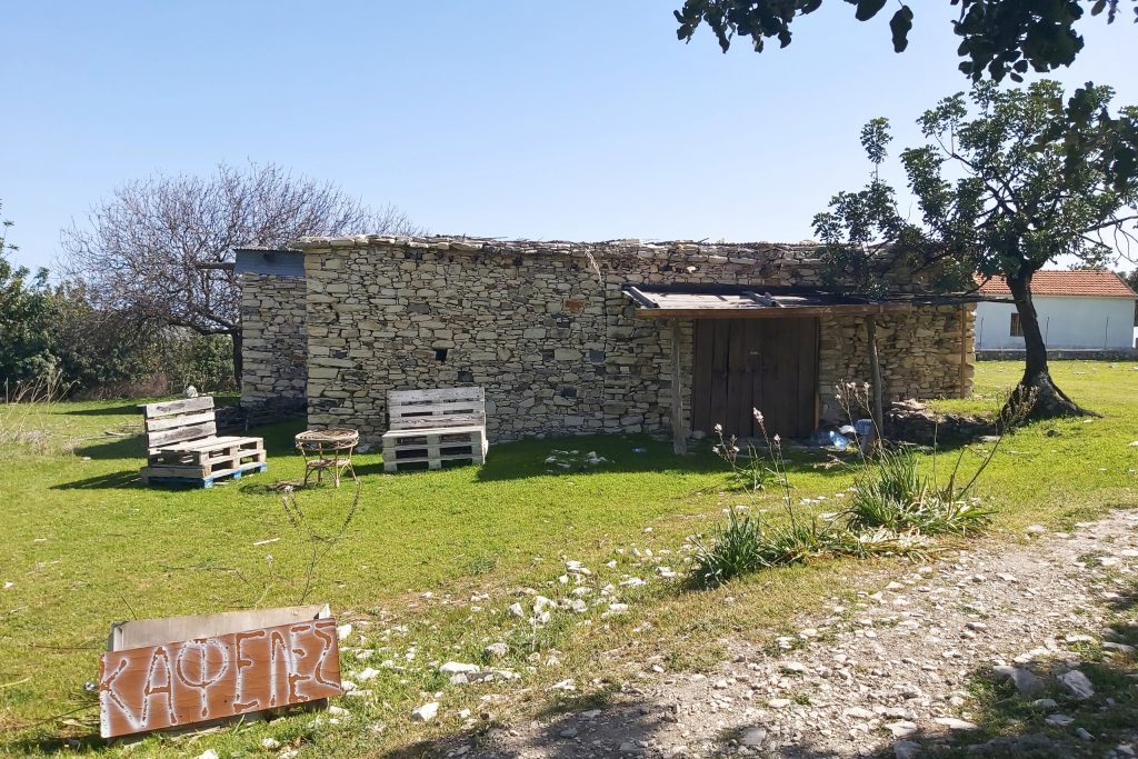
The village was small, its agricultural base was not especially productive by comparison with better-watered areas of the island, and the pull of Larnaca city and later Nicosia proved stronger than any incentive to stay.
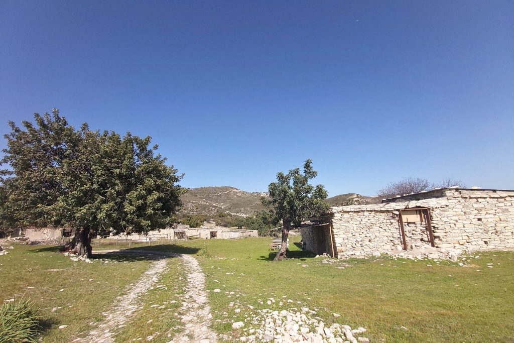
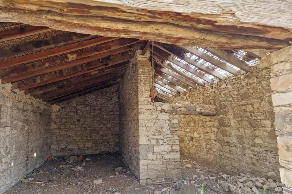
The ruins at Parsata are in a mixed state of preservation. Some wall sections are in good condition, the limestone having weathered well in the dry climate of the interior Larnaca district. Other sections have collapsed, and the vegetation that has moved in is the dry scrub typical of this part of the island rather than the lush growth you find at higher elevation sites in the Troodos foothills.
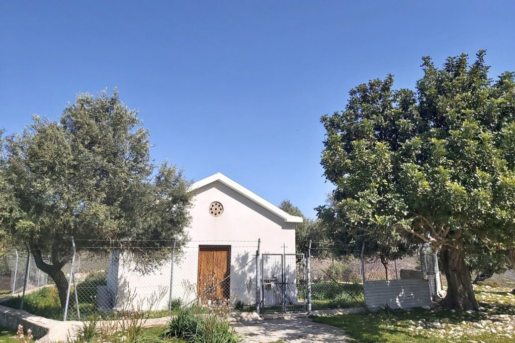
The village church at Parsata is the best-preserved structure on the site. It is a simple single-nave building with a pitched roof that has been maintained well enough to remain structurally sound, which is the pattern at most of these economically abandoned Greek Cypriot villages. The religious structure outlasts the domestic one because someone keeps caring for it even after no one is living nearby.
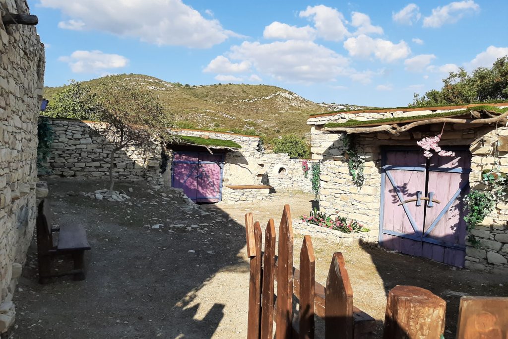
Parsata is not widely visited or documented, but it is an accessible and honest example of the type of settlement it represents.
Historically Mixed and Multi-Ethnic Ghost Village
Agios Sozomenos Village (Nicosia)
Agios Sozomenos is in a category of its own among Cyprus’s abandoned settlements. Located approximately 25 kilometers southwest of Nicosia, the village sits close to the United Nations Buffer Zone, the territory commonly known as the Green Line, that has divided Cyprus since 1974. Its position near that boundary is not incidental. The village’s history is inseparable from the conflict that produced the buffer zone itself.
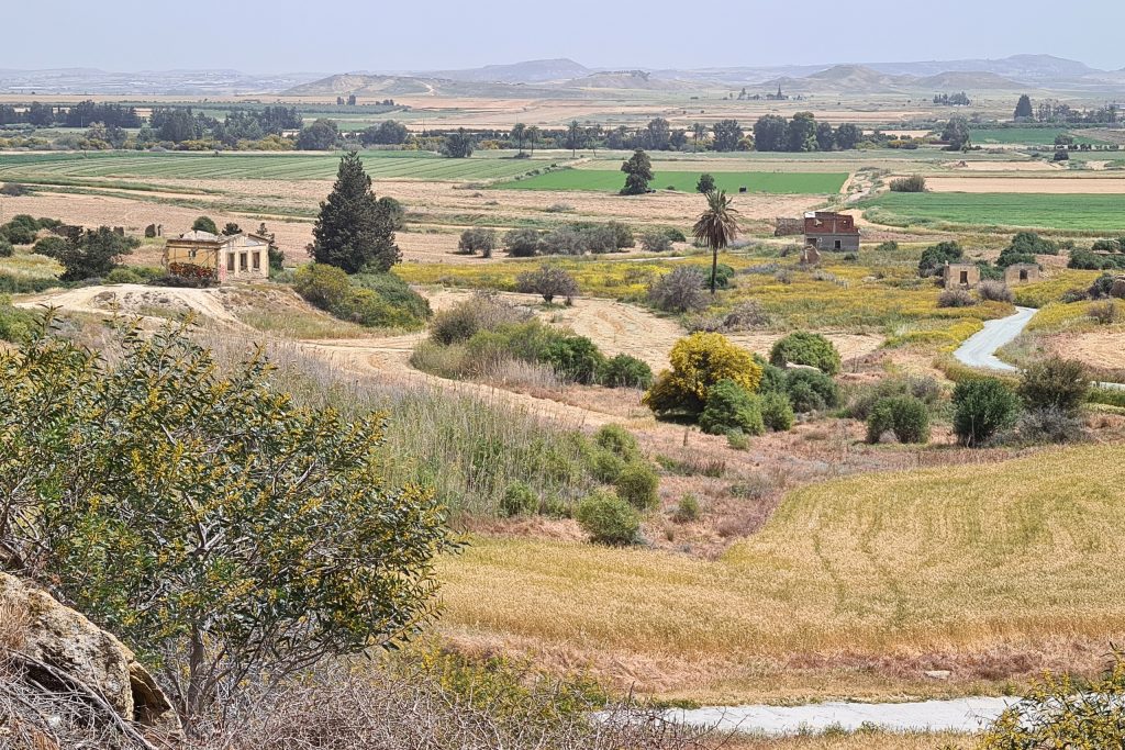
Agios Sozomenos had a mixed Greek Cypriot and Turkish Cypriot population for centuries, a community defined by the kind of sustained coexistence that was more common in Cyprus before the 20th century’s intercommunal tensions began pulling communities apart.
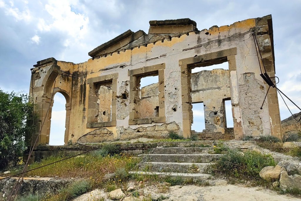
The first serious rupture came with the intercommunal violence of 1963 and 1964, when clashes across Cyprus forced population movements and created new geographic divisions along ethnic lines. Agios Sozomenos was caught in that violence, and its Turkish Cypriot residents relocated to safer areas as the security situation deteriorated. The events of 1974 completed the separation, and the village has been uninhabited since.
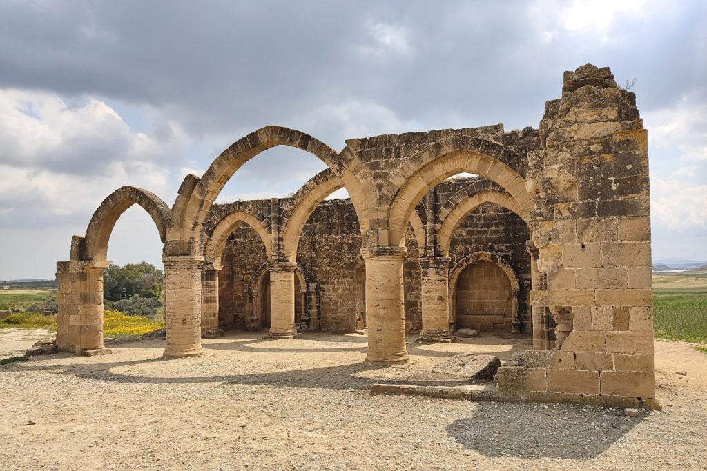
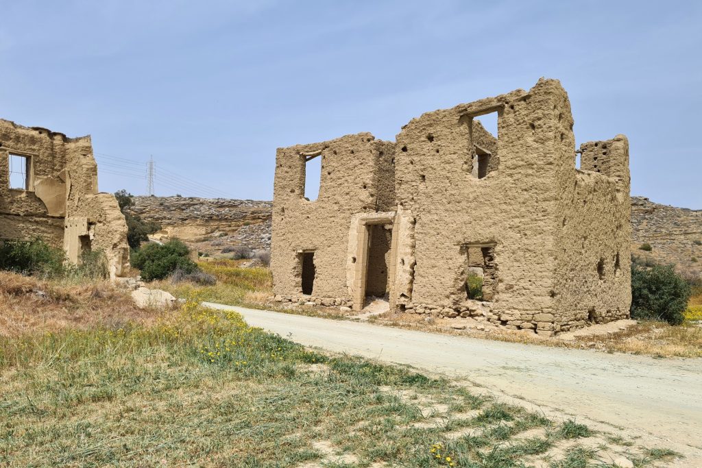
What makes Agios Sozomenos visually and historically distinctive is the Gothic Church of Saint Mamas, a Lusignan-period structure built in the 15th century. The church’s walls still stand to their full height in places, the arched Gothic windows frame open sky, and the mudbrick and stone construction tells a compressed history of medieval Cyprus in a single building.
The mudbrick sections of the structure are particularly vulnerable to weathering, and portions of the fabric have deteriorated significantly over recent decades. Conservation work has been carried out on the Gothic church at various points, but the intervention has been limited in scope. The broader village, including a smaller Byzantine-era church of Agios Sozomenos nearby, remains unrestored.
Can You Visit These Abandoned Villages?
All 14 villages on this list are technically accessible, though the infrastructure varies considerably from site to site. Agios Sozomenos is the most straightforward, well-positioned relative to Nicosia and flat enough to walk without difficulty. The Paphos district villages range from easy to genuinely remote, with Androlikou and Melandra requiring a high-clearance vehicle and comfort with unpaved roads. Evretou’s submerged ruins are only visible during periods of low reservoir water levels, which vary year to year. None of these sites charge admission. None have visitor centers or guided tours. Bring solid footwear, water, and enough charge on your phone for offline maps. Leave the sites exactly as you find them.