
12 Abandoned Places Of Cyprus
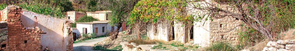
Cyprus is an island that carries its history on the surface. You do not need to dig for it. Drive inland from Limassol, wind up into the Troodos range, or cut across to the occupied north, and you will find places that stopped in time without warning. A church sealed off by barbed wire. An asbestos mine the size of a small mountain. A ranch with its fences still standing and no one inside. A luna park that closed before most visitors were born. These are not obscure footnotes to Cypriot history. They are physical evidence of the forces that shaped this island across the 20th century, political division, industrial collapse, economic migration, and the kind of quiet neglect that…
Read more