Cyprus contains approximately 35 streams and rivers, though most qualify as temporary watercourses that flow only during winter rains. These rivers create fertile valleys that have supported agricultural communities for over 9,000 years. The island receives an estimated 600 million cubic meters of usable runoff from annual rainfall, a limited resource distributed unevenly across the landscape. Major rivers, including the Pedieos, Kouris, Xeros, Vasilikos, and Diarizos originate in the Troodos Mountains, flow through productive valleys, and terminate either at the Mediterranean coast or in modern reservoir systems.
- The Pedieos River Valley and Central Plains Agriculture
- The Xeros River Valley Through Eight Thousand Years
- The Kouris River Valley and Limassol Region Fertility
- Neolithic Settlements and Early Farming Communities
- Traditional Irrigation Systems and Water Conservation
- Climate Change and Agricultural Water Vulnerability
The Pedieos River Valley and Central Plains Agriculture
The Pedieos River extends 100 kilometers from its source near Machairas Monastery in the Troodos range, making it the longest river in Cyprus. The river flows northeast through the Mesaoria Plain, passes through Nicosia, and then continues east to Famagusta Bay near the ancient city of Salamis. Archaeological evidence confirms continuous agricultural settlement along the Pedieos valley from the Bronze Age through modern times. The ancient town of Tamasos developed on the left bank of the Pedieos, its ruins extending across a hill overlooking the rich valley below.
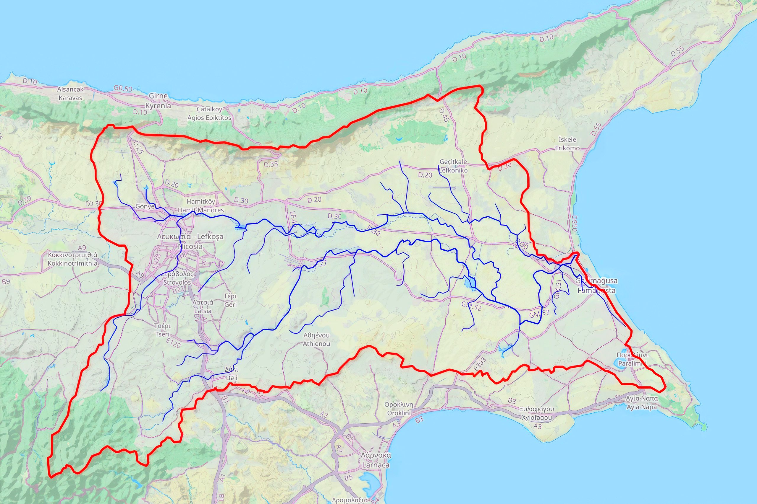
The river derives its name from ancient Greek words meaning to see the east, as its course coincides with the path of the dawn goddess. The Mesaoria Plain, traversed by the Pedieos and several tributary floodplains, once served as the most populated and principal agricultural region of Cyprus. This treeless lowland varies in width from 24 to 48 kilometers and occupies one-third of the island. The plain supported the cultivation of vegetables, fruits, grains, wheat, and barley for millennia.
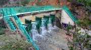
Modern infrastructure includes the Tamassos Dam, completed in 2002, which captures runoff from the 45-square-kilometer upstream basin in a 2.8 million cubic meter reservoir. The dam protects downstream areas from floods while providing irrigation water for continued agriculture. An 18-kilometer stretch of river banks in and around Nicosia has been converted to pedestrian walkways, creating a green corridor through the urban environment. The Venetians diverted the river northward in 1576, altering its natural flow through the center of old Nicosia.
The Xeros River Valley Through Eight Thousand Years
The Xeros River, its name meaning dry river in Greek, originates west of Stavrovouni Mountain and flows into the sea near the modern yacht shelter at Alaminos. Despite its name, the river creates a fertile valley where people from antiquity to today have used canalization systems to water their orchards. The valley covers 2,500 hectares and lies 20 kilometers southwest of Larnaca, situated 5 kilometers inland from the south coast. Hills define the valley to the west, south, and east, while the foothills of Troodos bound it to the north.
Archaeological surveys conducted since 2014 under the Settled and Sacred Landscapes of Cyprus project confirm continuous human habitation and land use from prehistory to present. Settlement patterns show remarkable continuity, with communities consistently selecting less fertile soils for building their villages. This wise choice preserved the most productive agricultural land for cultivation while using marginal areas for structures, vegetable gardens, olive groves, and pasture.
The valley supported extensive agricultural development during the Bronze Age, when a large settlement grew east of the medieval tower of Alaminos. During the Cypro-Archaic and Cypro-Classical periods, the valley fell within the territory of the Kingdom of Amathus. The region experienced notable growth in Late Antiquity between the 5th and 7th centuries AD, with a proliferation of rural settlements, significant population increase, and intensive land cultivation. The ceramic finds from this period, primarily storage and transport vessels, indicate the rural agricultural character of contemporary settlements.
The Kouris River Valley and Limassol Region Fertility
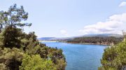
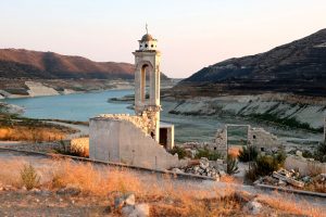
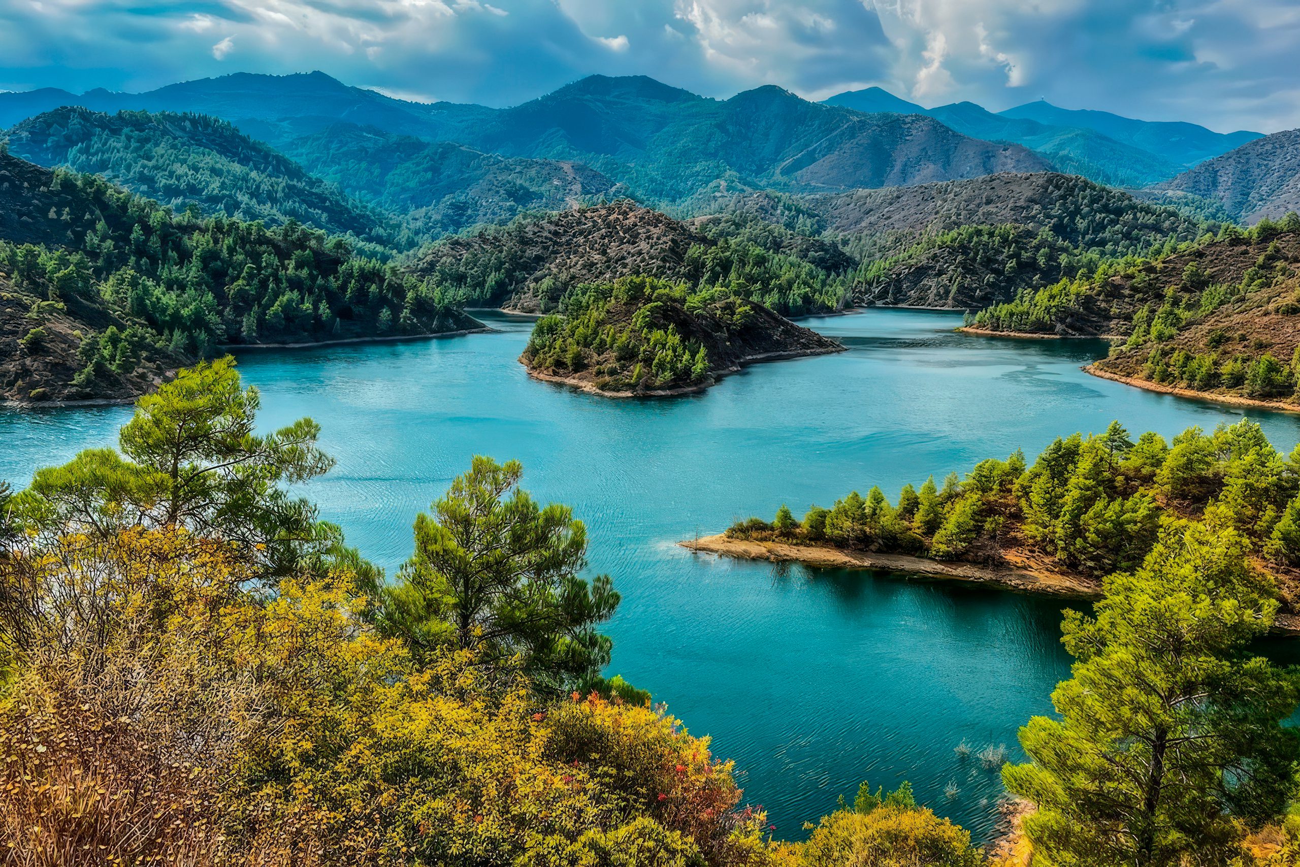
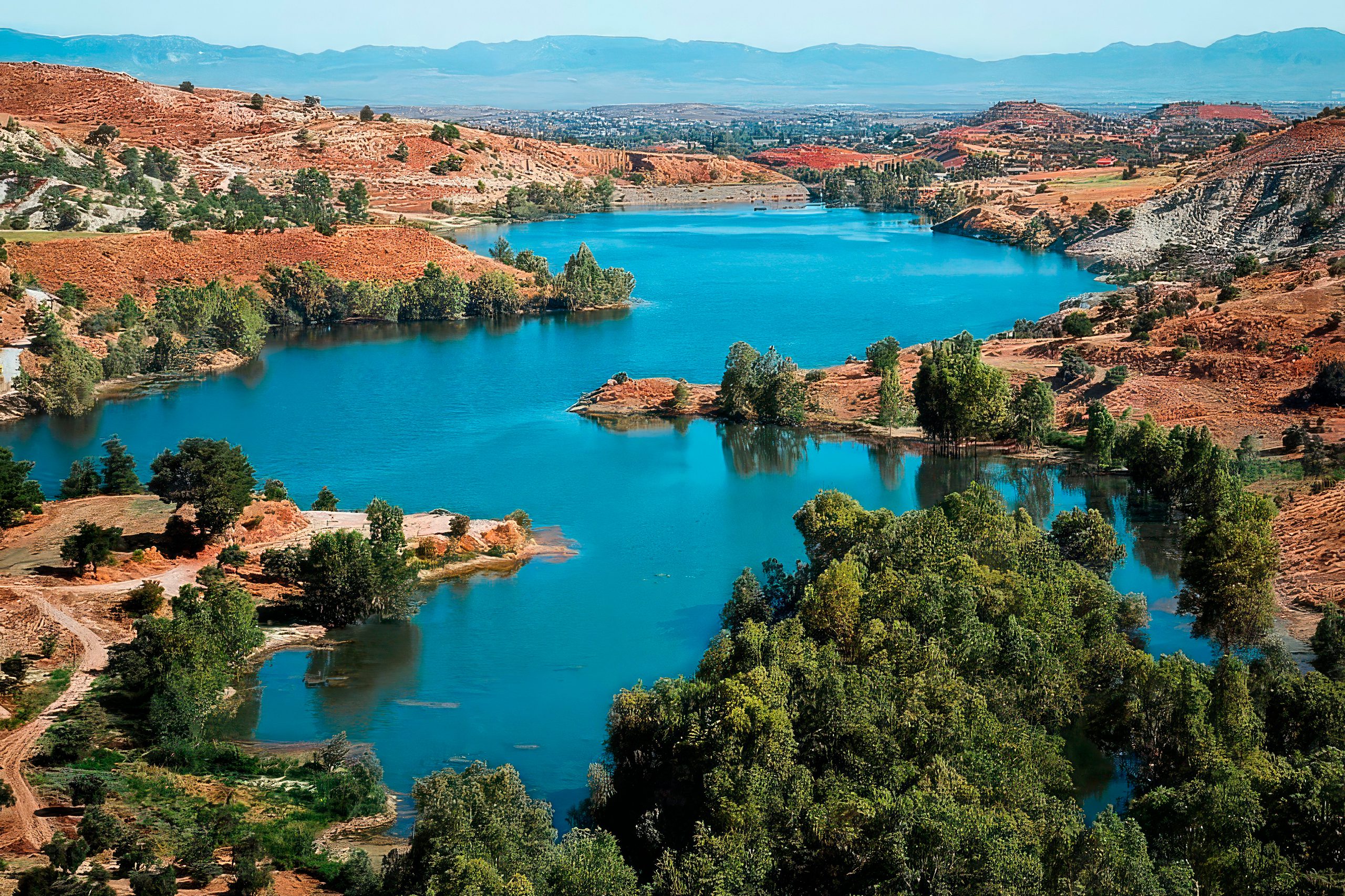
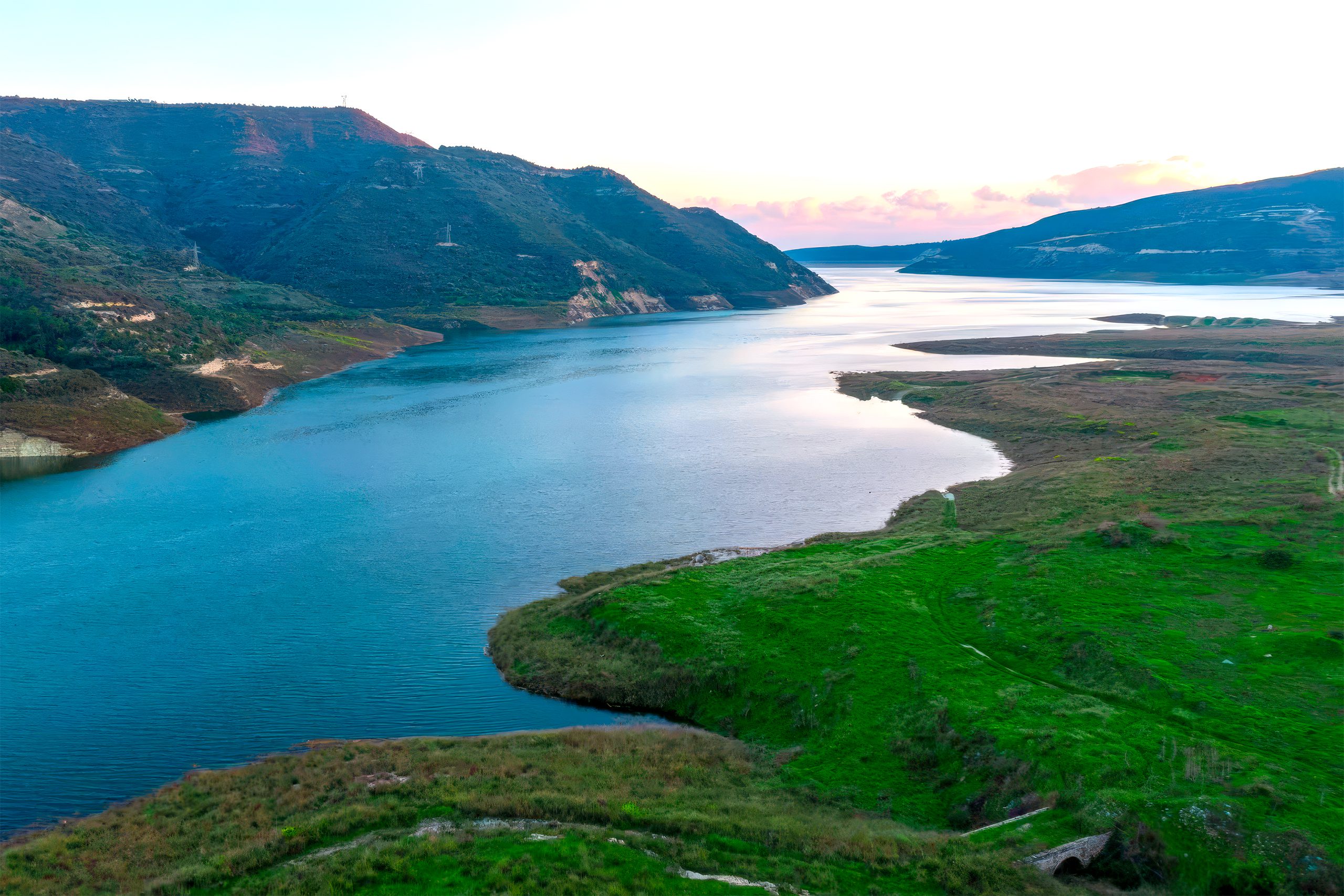
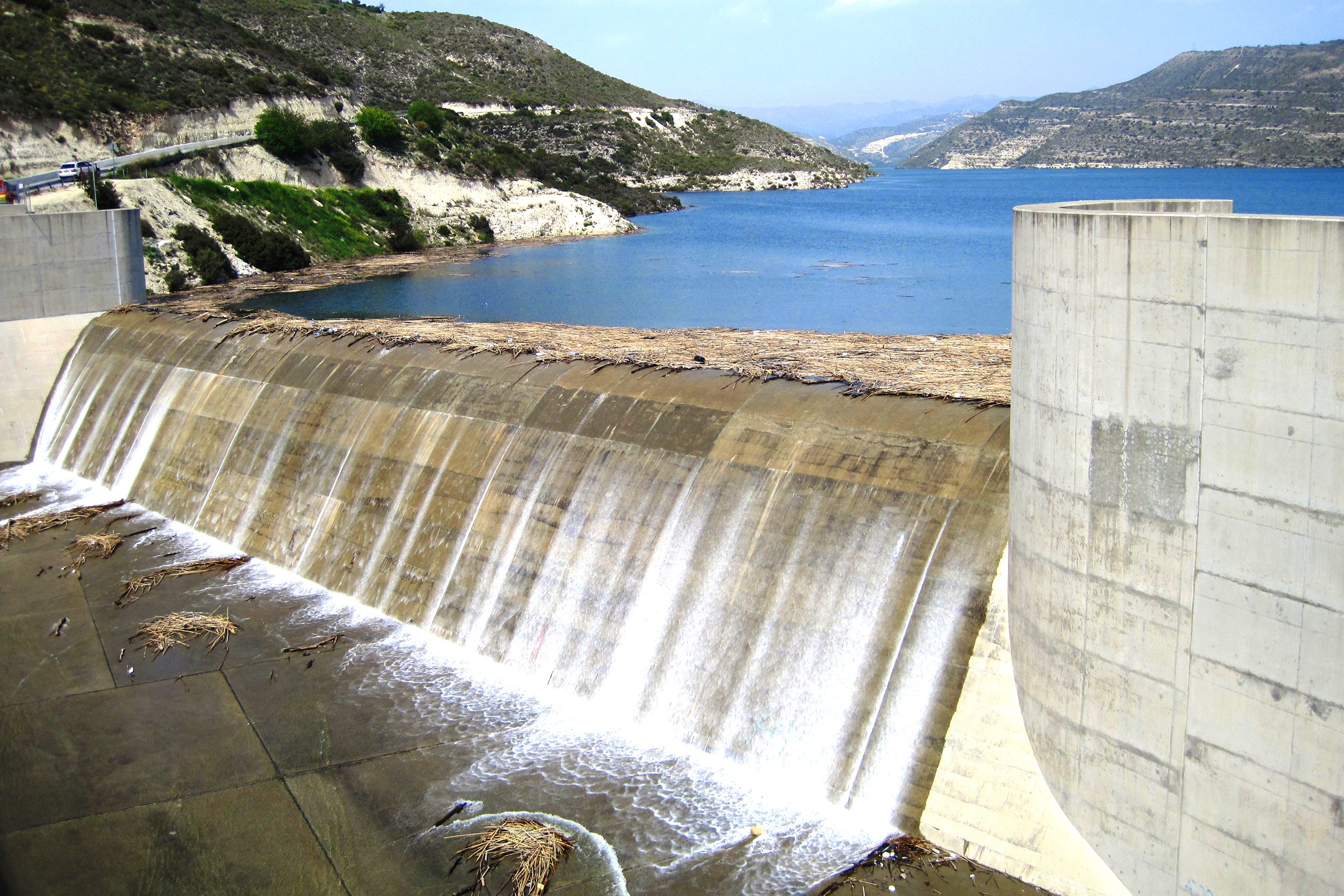
The Kouris River ranks among the largest in Cyprus and flows from the Troodos mountain range southward to Episkopi Bay. The river creates lush valleys along its path where fertile arable land is maintained by local residents. The extensive catchment area provides essential irrigation water for the agricultural regions around Limassol, particularly for the cultivation of vegetables, citrus fruits, and grapes. The Kouris Dam, one of the island’s most important reservoirs, plays a crucial role in water supply for the Limassol region, a key area for both agriculture and tourism.
The river’s estuary carries enormous environmental significance for the Akrotiri Peninsula. Sediment transported by water flow contains nutrients that feed marine ecosystems in Episkopi Gulf, including Limassol’s fish populations. The river’s flow played a fundamental role in forming the peninsula itself through millennia of material accumulation. What was once a single island eventually merged with the coast, creating a precious natural habitat. The dam also generates hydroelectric power, contributing to the country’s energy needs while supporting local biodiversity, particularly bird populations.
Archaeological research in the Kouris valley documents prehistoric foodways during the 5th and 4th millennia BC. Neolithic inhabitants practiced mixed subsistence strategies, combining farming of cereal crops with gathering of wild resources like pistachios, figs, olives, and plums. They herded sheep, goats, and pigs while hunting deer. This diversified approach to food production proved remarkably successful, sustaining communities through climatic variations and resource fluctuations.
Neolithic Settlements and Early Farming Communities
The Neolithic settlement of Khirokitia, situated in the Maroni River valley about 6 kilometers from the sea, represents one of the most important prehistoric sites in the eastern Mediterranean. Occupied from the 7th to the 4th millennium BC, the settlement demonstrates an organized functional society with collective fortifications for communal protection. Inhabitants practiced sophisticated agriculture, cultivating wheat, barley, lentils, peas, horse beans, and vetch. They foraged for olives, flax, figs, pistachios, plums, and pears while herding sheep, goats, and pigs.
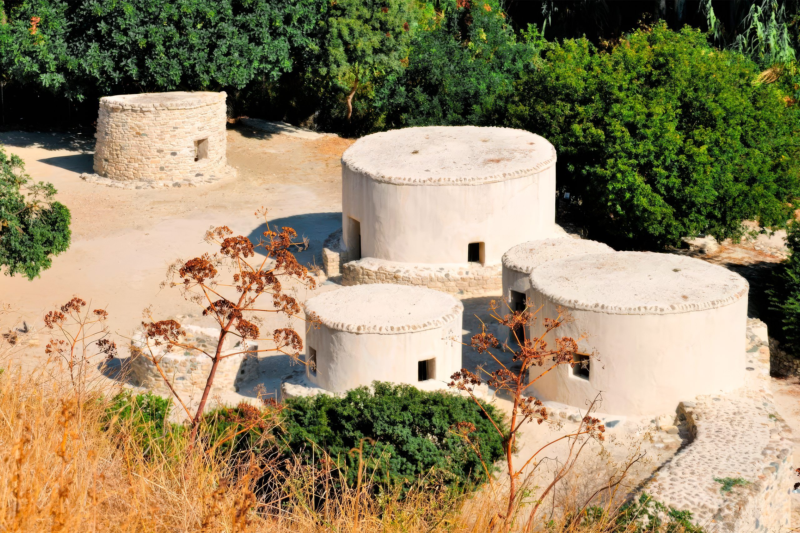
This well-organized society engaged primarily in farming, hunting, and herding. The four main animal species whose remains were found include deer, sheep, goats, and pigs. The village was suddenly abandoned around 6000 BC for unknown reasons, and the island may have remained uninhabited for approximately 1,500 years until the next recorded entity. Recent discoveries near Amathus have filled this chronological gap considerably, revealing probable continuous occupation from at least the ninth millennium BC.
Traditional Irrigation Systems and Water Conservation
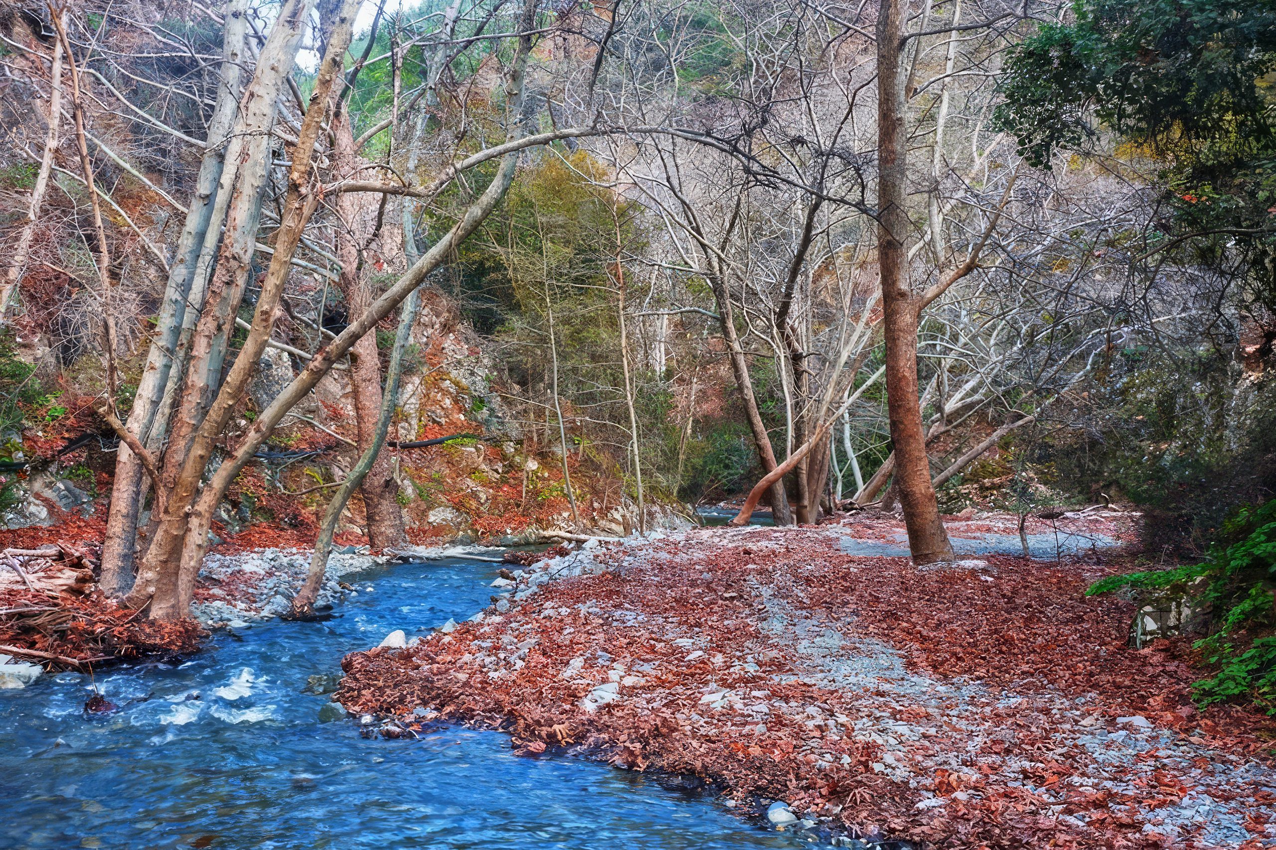
Cyprus developed sophisticated water management systems adapted to Mediterranean conditions. Canalization networks distributed river water to orchards and fields, with some systems operating continuously from antiquity to modern times. Locals in the Xeros valley report that even a few decades ago, the river maintained running water year-round, reaching full capacity. Today, increased water demands and climate change have altered this pattern, with most rivers becoming true dry riverbeds duringthe summer months.
The construction of irrigation reservoirs has been a boon to agricultural production. In 1983, approximately 94,000 hectares, representing 10 percent of the total land area, received irrigation. Modern reservoir systems capture winter precipitation and snowmelt, storing water for distribution during the critical growing season. Snow melting in the Troodos Mountains supplies water to numerous streams until late April, extending the agricultural season in valley locations.
The Venetians channeled Pedieos River water through specially formed wells surrounding Nicosia’s fortification walls, preventing hostile interventions while supplying the city. This dual-purpose system demonstrates the strategic importance of water control in both agricultural and defensive contexts. Historical flooding events, recorded since the 14th century, led to infrastructure improvements including river diversions and flood control measures that continue to protect urban areas today.
Climate Change and Agricultural Water Vulnerability
Climate change projections indicate significant challenges for Cyprus river valley agriculture. Models predict groundwater level decreases approaching 1 meter in Larnaca aquifers, with further inland seawater intrusion threatening coastal agricultural areas. The Standardized Precipitation-Evapotranspiration Index shows downward trends at major dams including Asprokremmos and Kouris, indicating more severe drought events in the future. These indices correlate with water storage measurements, with lags of 2 to 3 months, potentially providing early warning systems for water authorities.

Surface water resources remain very limited throughout Cyprus, and summer droughts have become increasingly common. Most streams qualify as impermanent, functioning merely as winter torrents that dry completely during summer. Annual precipitation ranges from 320 millimeters in lowland areas to 670 millimeters at Troodos peaks, with usable runoff concentrated in winter months. The combination of limited water resources, increasing agricultural demands, and climate pressures requires improved water management planning under these changing conditions.
The fertile river valleys of Cyprus have sustained human communities for nine millennia through sophisticated agricultural practices adapted to Mediterranean conditions. From Neolithic wheat cultivation at Khirokitia to Ottoman-era olive production in the Xeros valley, these valleys demonstrate remarkable continuity of land use. Modern challenges, including climate change and water scarcity, threaten this ancient agricultural heritage, requiring innovative approaches that honor traditional water management wisdom while incorporating contemporary technology and climate adaptation strategies.