
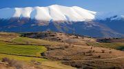
The Troodos Mountains offer Cyprus’s most extensive network of hiking trails, with approximately 90 designated paths across the island’s largest mountain range. Mount Olympus rises to 1,952 meters as the highest peak, surrounded by dense forests of black pine, Cyprus cedar, and golden oak.
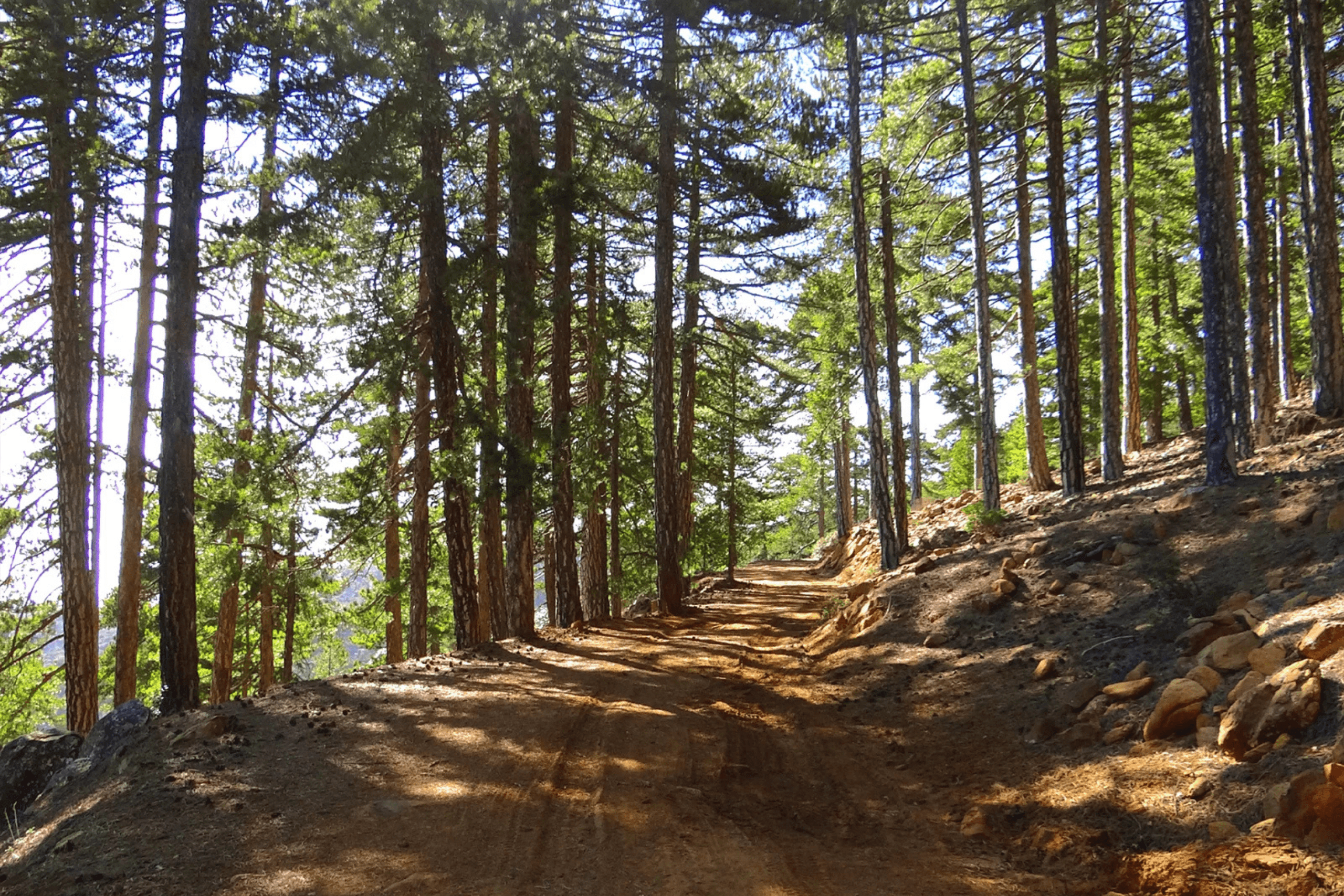
The Department of Forests manages most trails through state forests, while local communities maintain paths in their jurisdictions. These trails range from easy 30-minute family walks to challenging 14-kilometer circuits that require several hours to complete. The Troodos region contains 64 percent of Cyprus’s endemic flora despite covering only 12 percent of the island’s territory, with 37 plant species found nowhere else on Earth.
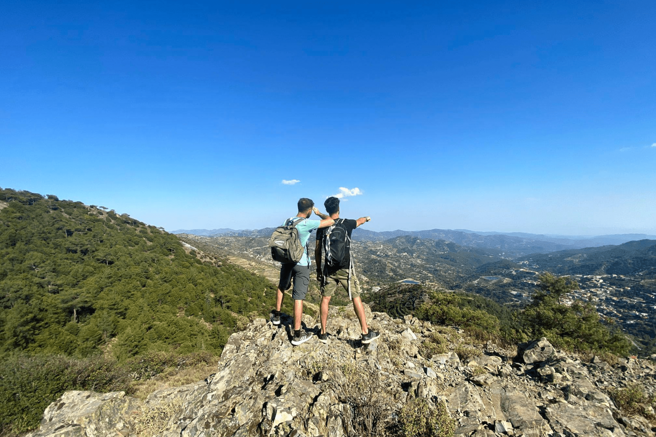
This combination of dramatic mountain scenery, unique biodiversity, and well-maintained paths has made Troodos a premier destination for hikers seeking alternatives to Cyprus’s beach-focused tourism.
The Geological Foundation That Shapes the Trails
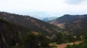
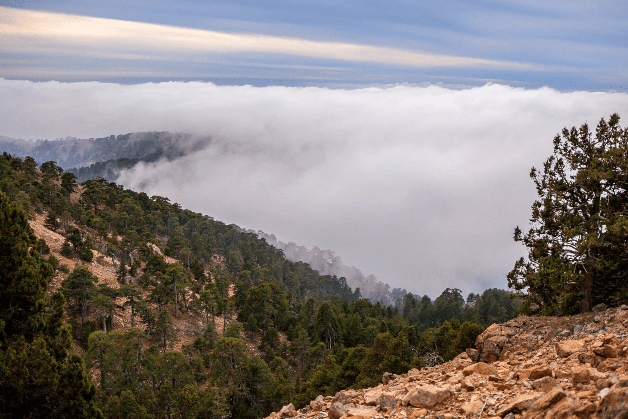
The Troodos Mountains represent a rare geological phenomenon where scientists can examine ocean floor and upper mantle rocks without descending to the seabed. These mountains formed 92 million years ago at the bottom of the ancient Tethys Sea at a depth of 8,000 meters.
Tectonic movements caused by the collision between African and Eurasian plates pushed Troodos upward starting 15 million years ago. UNESCO recognized this extraordinary geological importance by designating Troodos as a Geopark in 2008.
This unique geology directly influences the trail experience. Hikers encounter pillow basalts, sheeted dykes, and marine sediments along paths that traverse ancient ocean crust now exposed on mountaintops. The serpentine soils created by these rocks support specialized plants called serpentinphilous endemics, including species like Onosma troodi, Acinos troodi, and Alyssum troodi that thrive only in Troodos’s unique soil composition. This geological heritage means every hike offers both visual beauty and scientific significance rarely found in other mountain ranges.
The Most Popular Trails Around Mount Olympus
Artemis Trail
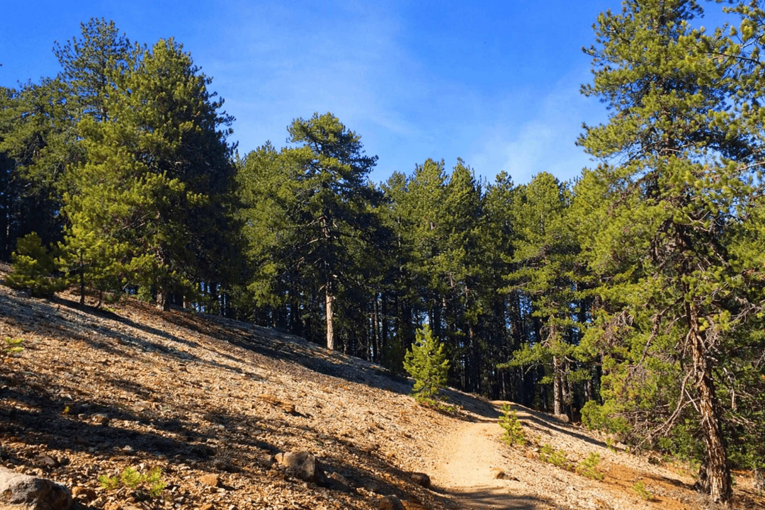
The Artemis Trail forms a 7-kilometer circular route around Mount Olympus at an elevation of 1,800 meters, making it the highest trail in Cyprus. The path passes through dense stands of black pine and Troodos juniper, offering panoramic views of the surrounding mountains.

The terrain alternates between cliff-side paths, woodlands, and brushland. The trail begins and ends at the Cyprus Ski Club parking lot and takes approximately two to three hours to complete at a moderate pace.
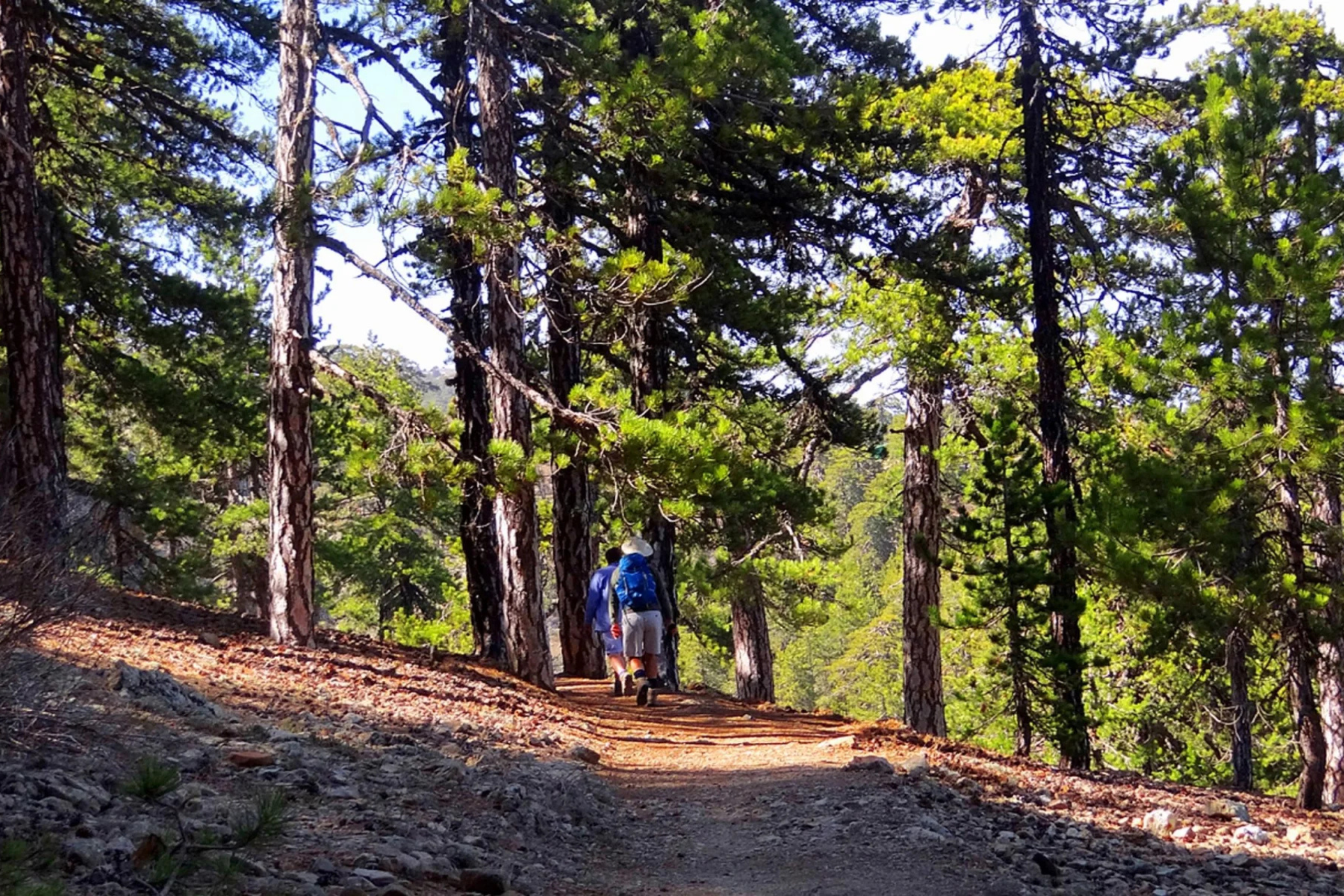
Atalante Trail
The Atalante Trail runs as a circular path at similar elevations, also starting and ending at Troodos Square. This well-equipped route features benches, directional arrows, distance markers, and tree identification signs at regular intervals. The trail can be combined with the Artemis Trail for longer hikes, as both circuits move through the same general area around the summit. An ancient 800-year-old pine tree stands along the Atalante route, demonstrating the longevity of Troodos’s forest ecosystems.
Persephone Trail
The Persephone Trail occupies the mountaintop area at the center of Cyprus’s largest forest. Separated into two levels, with the highest point at 1,952 meters on Chionistra peak and the lowest at 700 meters, this trail showcases the full range of Troodos vegetation zones. The path connects with other major trails, allowing hikers to create custom routes of varying lengths.
The Caledonia Waterfall Trail and Water Features
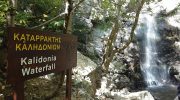
The Caledonia Trail stands out as the most popular and scenic route in Troodos due to its water features and lush vegetation. The 3-kilometer path begins near Pano Platres and follows the Kryos Potamos River northward, passing through dense forests of plane trees, wild roses, and golden oaks. The route culminates at the Caledonia Waterfall, where water drops 15 meters from a height that makes it one of Cyprus’s tallest natural waterfalls. The abundance of water creates microhabitats that support plant species requiring more moisture than the typically dry Mediterranean climate provides.
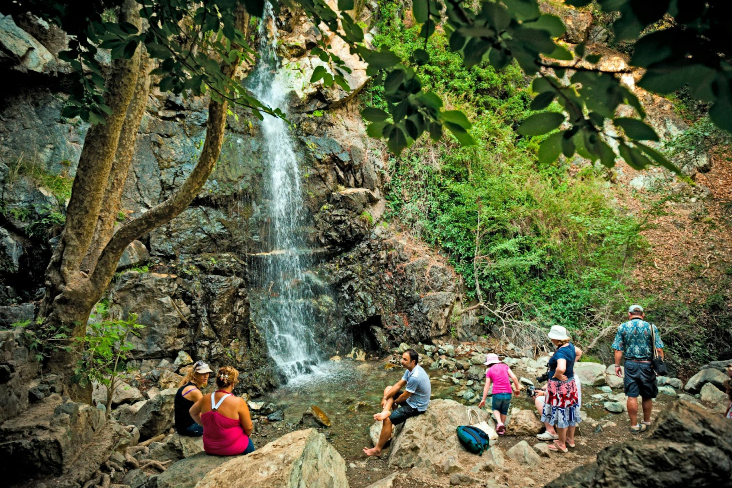
The waterfall’s name derives from the Greek words “millos” meaning moist and “meros” meaning place, referring to the perpetually damp conditions created by spray from the falls. Hikers can cool off in pools at the base during hot summer months.
The trail takes approximately 90 minutes to complete, though many visitors spend additional time at the waterfall. The return journey involves either hiking back down the same path or arranging transportation from the upper trailhead at Psilo Dentro.
Wildlife and Endemic Species Along the Trails
Troodos trails pass through habitats supporting Cyprus’s most distinctive wildlife. The endangered Cyprus mouflon, a wild sheep species with distinctive sickle-shaped horns, roams the forests of Paphos and occasionally ranges into Troodos National Forest Park. Hikers may encounter foxes, hares, and hedgehogs along lower elevation trails. Endemic bird species including the Cyprus warbler and Cyprus wheatear inhabit the pine forests, while Bonelli’s eagles and griffon vultures soar above ridgelines.

The endemic Cyprus blunt-nosed viper lives among rocks and scrubland, though encounters are rare as the snake avoids human contact. The Cyprus lizard and black whip snake represent other reptile species adapted to the mountain environment. Butterflies including the endemic Paphos blue and the rare black-veined white flutter through meadows during spring and summer months. More than 100 of Cyprus’s 265 bird species call Troodos home, making the trails excellent locations for birdwatching.
Practical Information for Trail Access
The Troodos trail network operates year-round, though conditions vary dramatically by season. Spring from March to May offers ideal temperatures of 15 to 22 degrees Celsius with wildflowers at peak bloom. Summer brings temperatures reaching 29 degrees Celsius at lower elevations, though mountain trails remain 10 degrees cooler than coastal areas. Autumn from September to November provides comfortable temperatures of 18 to 27 degrees and clear skies. Winter snow covers higher elevations from December through March, with Mount Olympus receiving enough accumulation to operate four ski slopes.
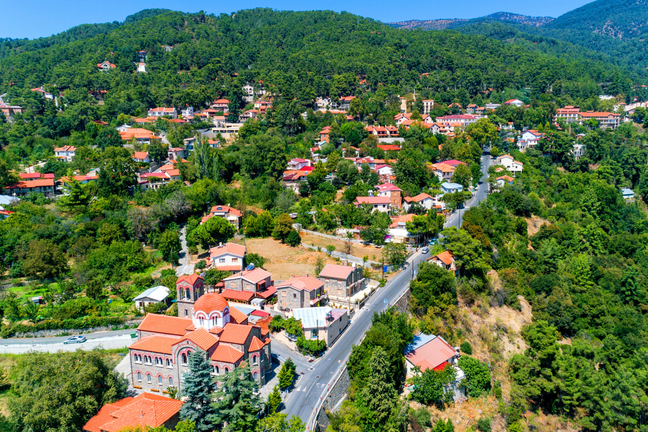
Most trails begin near Troodos Square, which serves as the central hub with parking, restaurants, and visitor facilities. Villages like Platres, Kakopetria, and Kyperounta offer accommodation ranging from traditional guesthouses to modern hotels.
The E4 European Long Distance Path crosses Troodos as part of its 500-kilometer route across Cyprus from Larnaca Airport to Paphos Airport. Trail maps and information are available from the Department of Forests website and visitor centers throughout the region.
Why Troodos Hiking is Important for Cyprus
Troodos hiking trails demonstrate that Cyprus offers experiences far beyond beach tourism. The mountains provide escape from coastal heat during summer months while showcasing ecosystems found nowhere else on Earth. The trails require no special permits or fees, making mountain access democratic and inclusive.
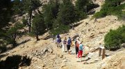
Well-maintained paths with clear signage allow families with children to safely explore nature while challenging routes satisfy experienced hikers seeking strenuous exercise. This infrastructure represents decades of forestry department investment in sustainable tourism that protects natural resources while making them accessible.
Troodos proves that small islands can support world-class hiking destinations when geological heritage, endemic biodiversity, and thoughtful trail management combine to create memorable outdoor experiences.


