The story of Cyprus roads spans over 3,000 years, from Bronze Age trade routes to Roman highways and modern infrastructure. This network transformed the island from scattered settlements into a connected civilization, linking major cities and remote villages while facilitating trade across the Mediterranean.
The earliest roads in Cyprus date back to the Bronze Age, when the island served as a crucial trading hub between the Aegean, Egypt, and the Levant. Cyprus became the principal intermediary station for Mycenaean Greece in accessing Middle Eastern markets, largely due to its copper resources in the Troodos Mountains.
By the end of the Hellenistic period, the road network encircled the entire island. During the Late Bronze Age between 1400 and 1150 BCE, trade with Minoan Crete and Mycenaean Greece increased dramatically. Archaeological evidence shows that Mycenaean pottery exports to Cyprus surged to over 3,500 vases across nearly two centuries. These goods traveled along established land routes that connected coastal ports to interior settlements.
Historical Context
The Romans transformed Cyprus’s road infrastructure after annexing the island in 58 BCE. The first Roman roads were funded directly by the Emperor, though by the Severan dynasty the island had grown wealthy enough to finance its own construction. Roads converged on Salamis, the main economic center, with minor roads radiating outward to connect the surrounding agricultural areas to urban markets.
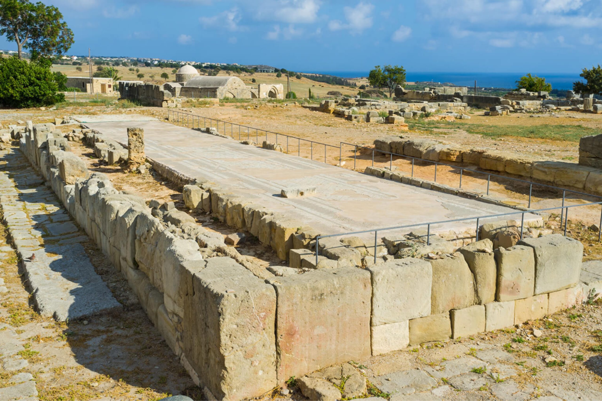
A paved road linked Nea Paphos to Palaiaphos, allowing Cypriots to travel in procession for religious festivals at the sanctuary of Aphrodite. This temple site was famous throughout the Mediterranean world and attracted numerous imperial visitors, including emperors Trajan and Titus. Australian archaeologists uncovered an 8.4 meter wide colonnaded road running east to west directly behind the ancient theater in Nea Paphos, demonstrating the scale of Roman urban planning.
The major route between Salamis and Paphos appears in the Peutinger Table, a 13th-century copy of an older Roman map. This document shows Cyprus roads as an oval bisected by a diagonal section. The Peutinger Table provides distances between cities, though the exact date of the original map remains uncertain, with estimates ranging from the 2nd to 4th century BCE.
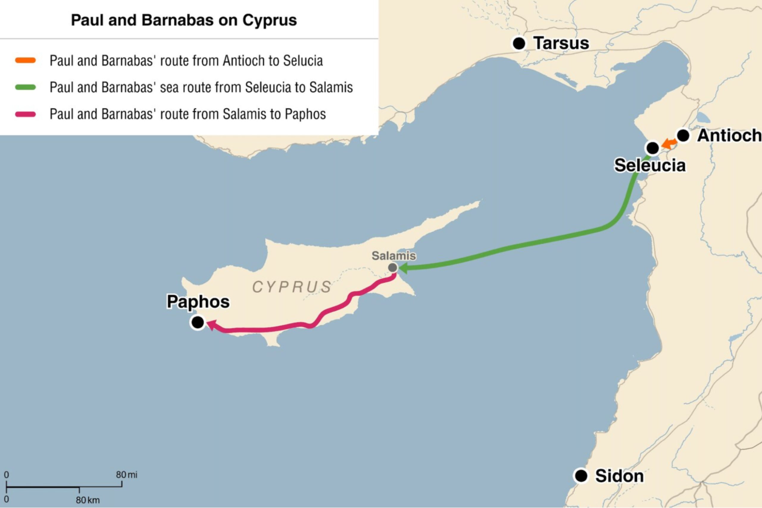
Archaeological evidence reveals that Paul and Barnabas likely used these Roman roads during their missionary journey across Cyprus around 46 CE. The southern coastal route from Salamis to Paphos covered approximately 115 miles and passed through Citium, Amathus, and Curium. Milestones found 11 Roman miles from Paphos toward Curium date to the reign of Augustus, confirming road construction during his time.
Excavations at Salamis uncovered nearly 300 meters of ancient road, revealing two distinct layers. The lower section dates from the first century CE, while the upper road was built after a major earthquake struck the city. This road connected residential areas with the public sections of Salamis, including the theater and gymnasium.
Ottoman Period Infrastructure Development
The Ottoman conquest of Cyprus in 1571 brought significant changes to island infrastructure. Ottoman governors in the 19th century undertook major efforts to improve transportation networks. Edhem Pasha, who served as governor in the 1840s, completed construction of the Larnaca to Nicosia road and several bridges.
The Ottomans also improved water supply systems throughout Cyprus. Authorities encouraged the construction and improvement of artificial channels for irrigation, which greatly increased crop yields and allowed large-scale fruit production. Villages like Morphou, Lapithos, Polis, Lefka, Avdimou, and Kolossi prospered due to artificial irrigation systems.
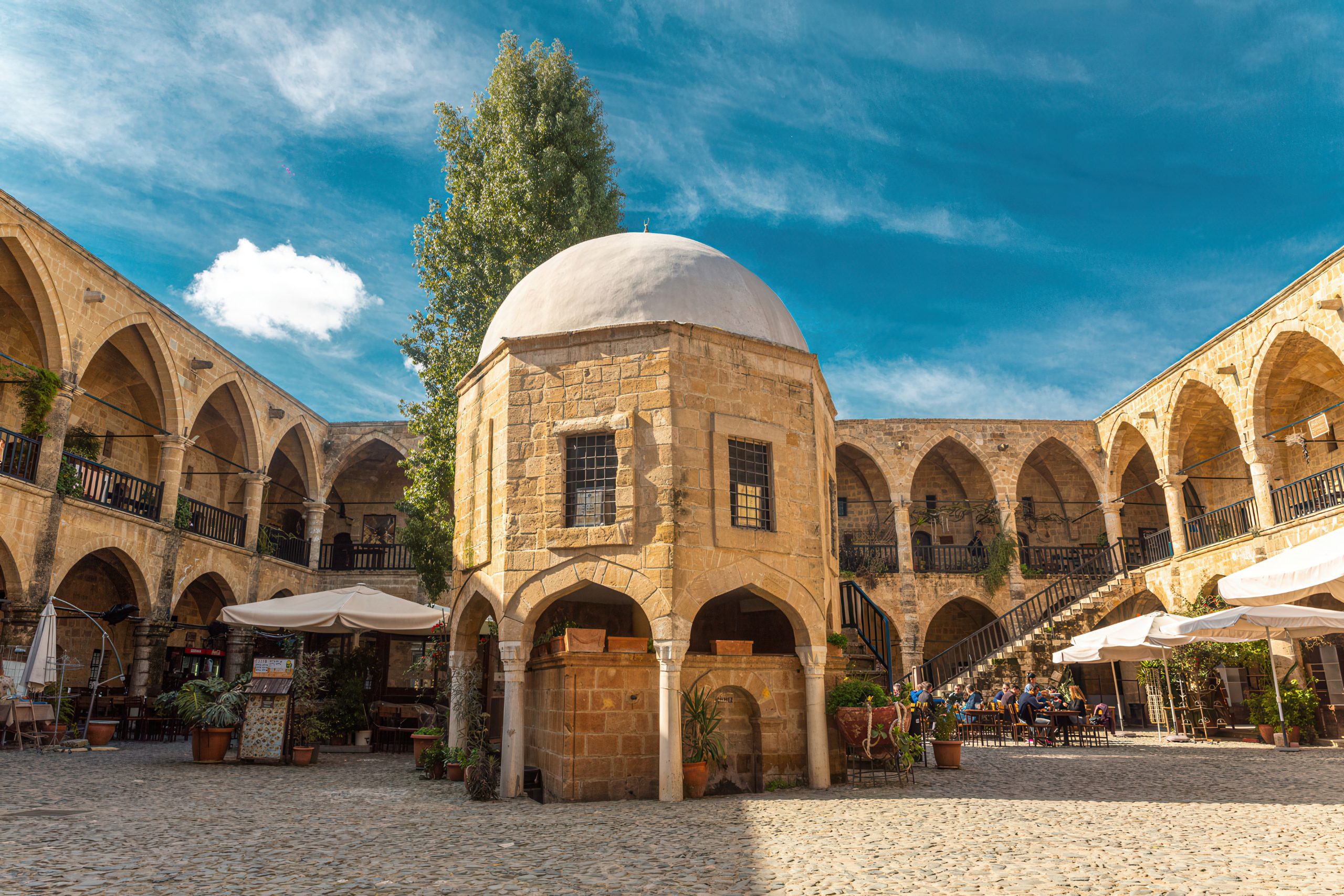
The Ottoman administration built two monumental caravanserais in Nicosia, the Büyük Han and Kumarcilar Han, considered among the finest examples of Ottoman architecture on the island. These structures served travelers and merchants, supporting the commercial life that depended on functioning road networks.
Geographic Challenges in Road Construction
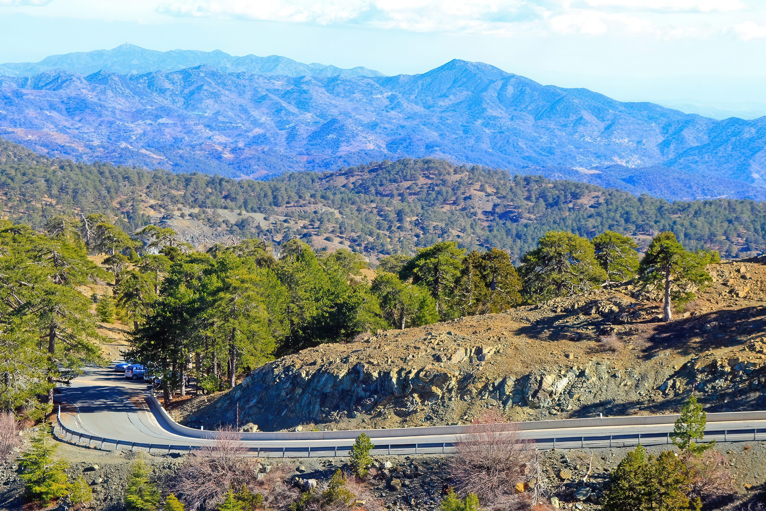
Cyprus presents unique geographic challenges for road builders across all historical periods. The Troodos Mountains dominate the western interior, while the Kyrenia range runs along the northern coast. These mountain ranges required roads to navigate difficult terrain through valleys, over passes, and across rivers.
Ancient builders constructed switchbacks and ramps to manage steep slopes. The Romans brought expertise in road engineering that allowed more direct routes through challenging landscape. Bridge construction became essential where roads crossed streams and rivers, particularly during winter months when water levels rose.
The Modern Journey: Paphos to Salamis Today
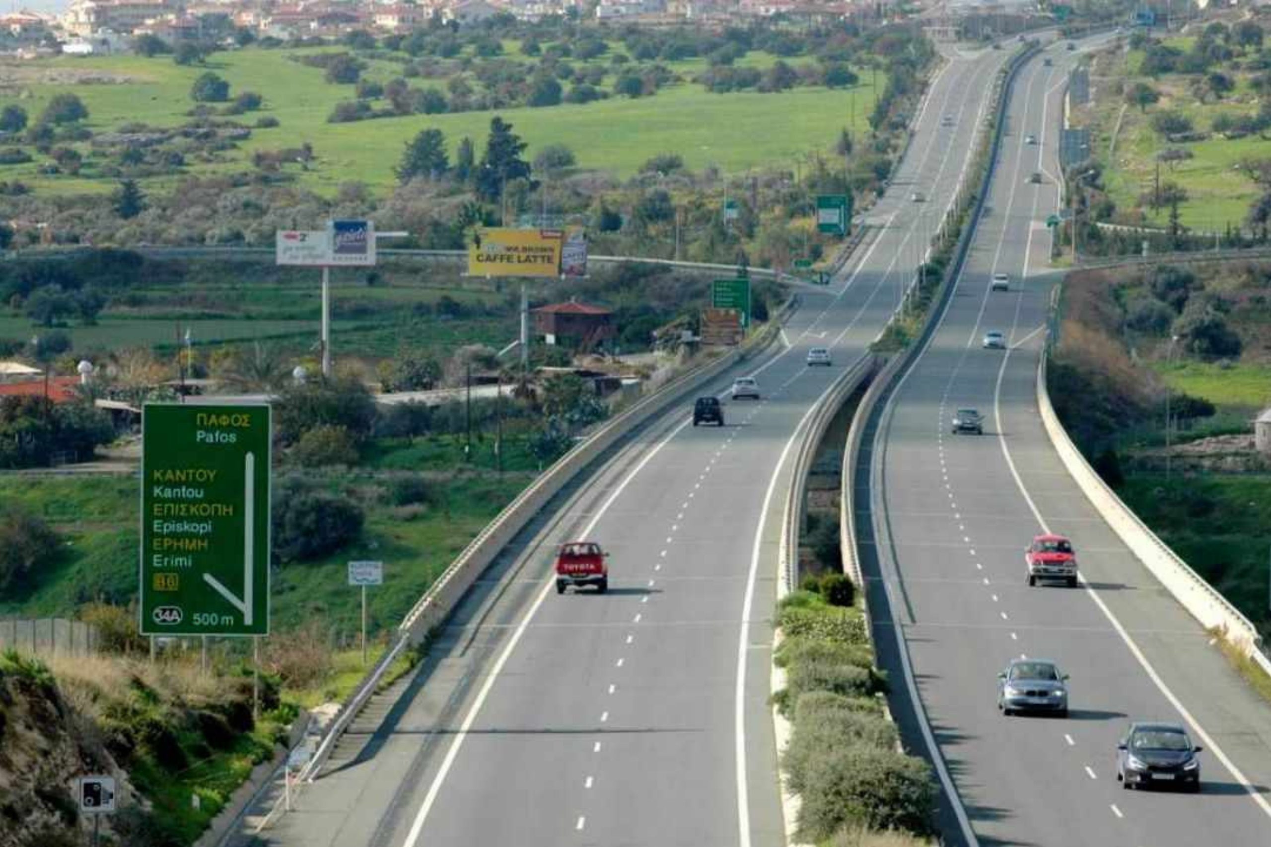
Today’s drive from Paphos to the ancient site of Salamis (near modern Famagusta) covers approximately 160 kilometers (100 miles) and takes around 2 hours via the A1 motorway—a journey that would have taken Roman travelers several days on horseback.
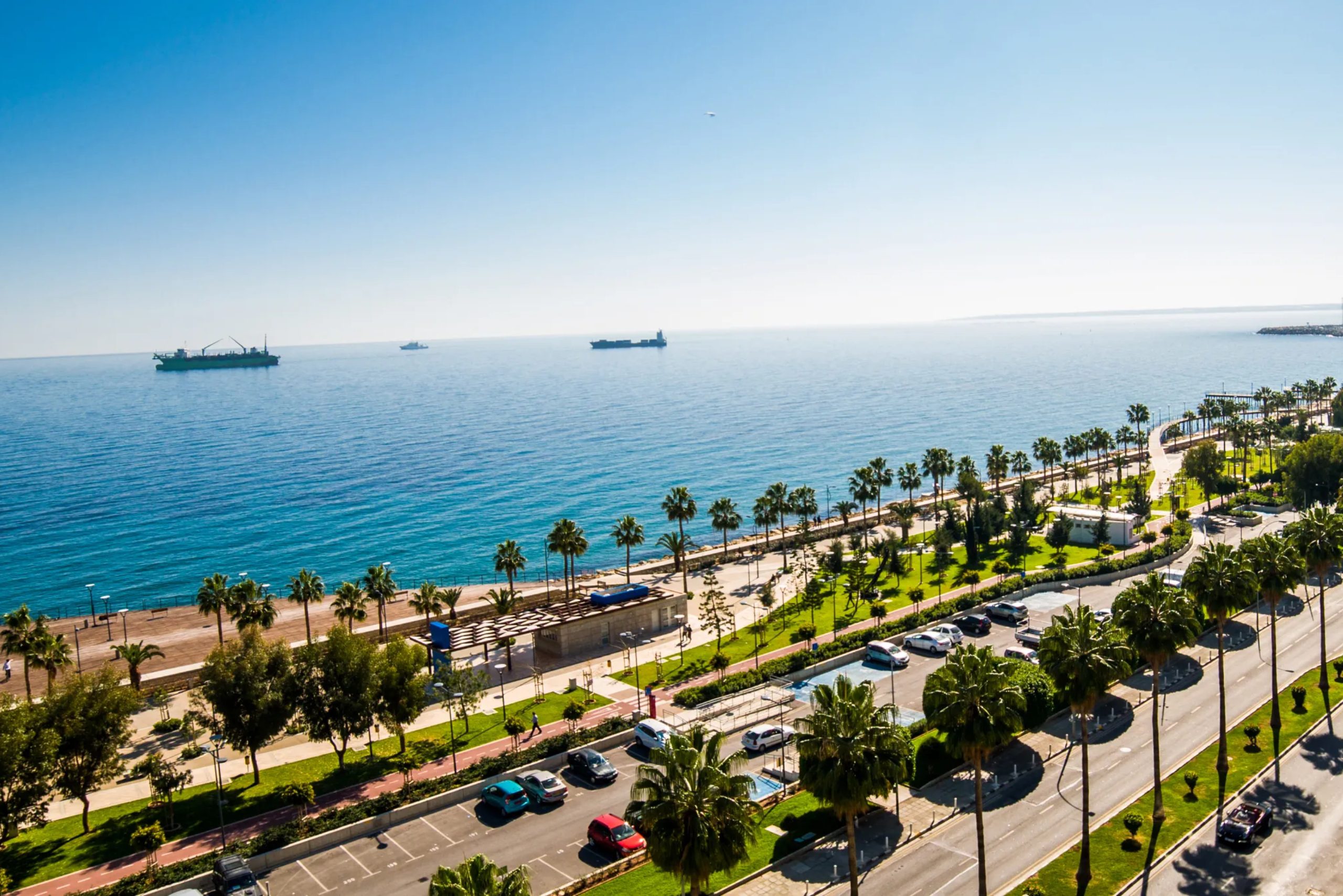
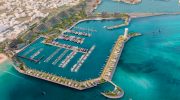
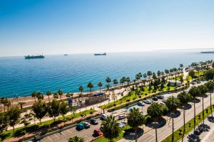
The modern route follows much of the same geographic logic as its ancient predecessor. Departing Paphos, the A6 motorway hugs the southern coast before joining the A1 near Limassol, Cyprus’s second-largest city. The coastal views are spectacular: the Mediterranean stretches endlessly to the south, its turquoise waters contrasting sharply with the rocky shoreline and golden beaches.
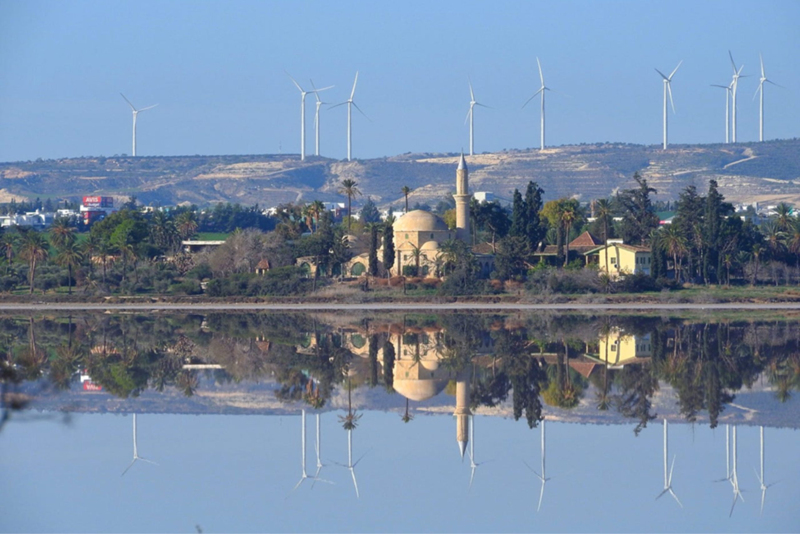
Near Limassol, the British Sovereign Base Area of Akrotiri spreads across the coastal plain, a reminder of more recent colonial history. The road continues east through Larnaca, where the famous Salt Lake attracts flamingos in winter months, creating pink clouds against the landscape.
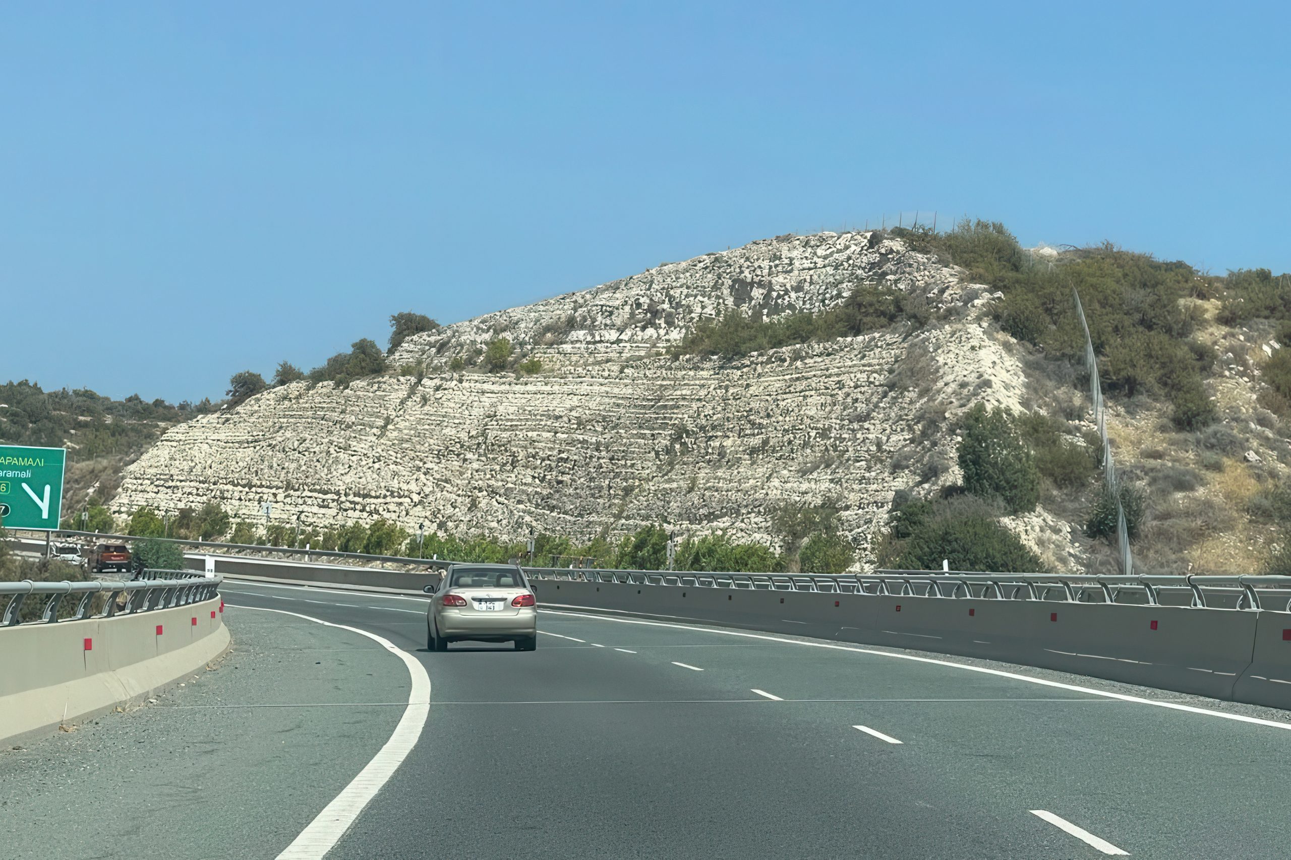
As you travel inland slightly past Larnaca, the Troodos Mountains rise to the west, their peaks sometimes snow-capped even when coastal areas bask in sunshine. The motorway is modern and well-maintained, with rest stops offering traditional Cypriot coffee and pastries.
The final stretch takes you into the territory administered by the Turkish Republic of Northern Cyprus since 1974. Ancient Salamis, located just north of modern Famagusta (Gazimağusa), sits on the eastern coast where Bronze Age merchants first landed. The archaeological site preserves Roman roads, a gymnasium, and a magnificent theater.
The views along this modern journey are breathtaking: citrus groves near Morphou, the dramatic Kyrenia mountains rising from the northern coast, and endless Mediterranean vistas. Road signs appear in both Greek and Turkish, reflecting the island’s complex modern history. Small villages dot the landscape, many built along the same routes that Bronze Age traders, Roman legionnaires, crusader knights, and Ottoman merchants once traveled.