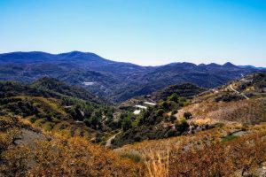
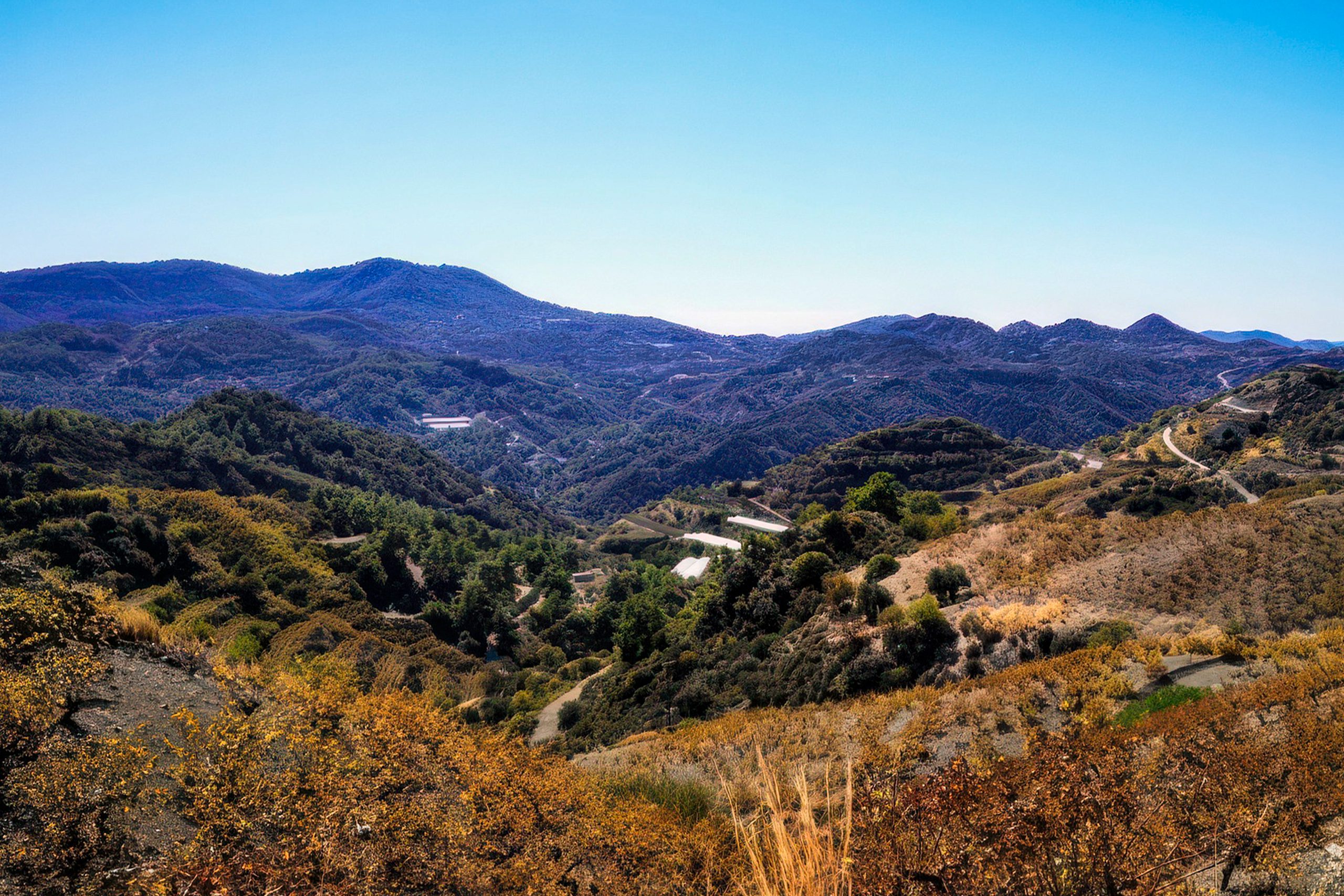
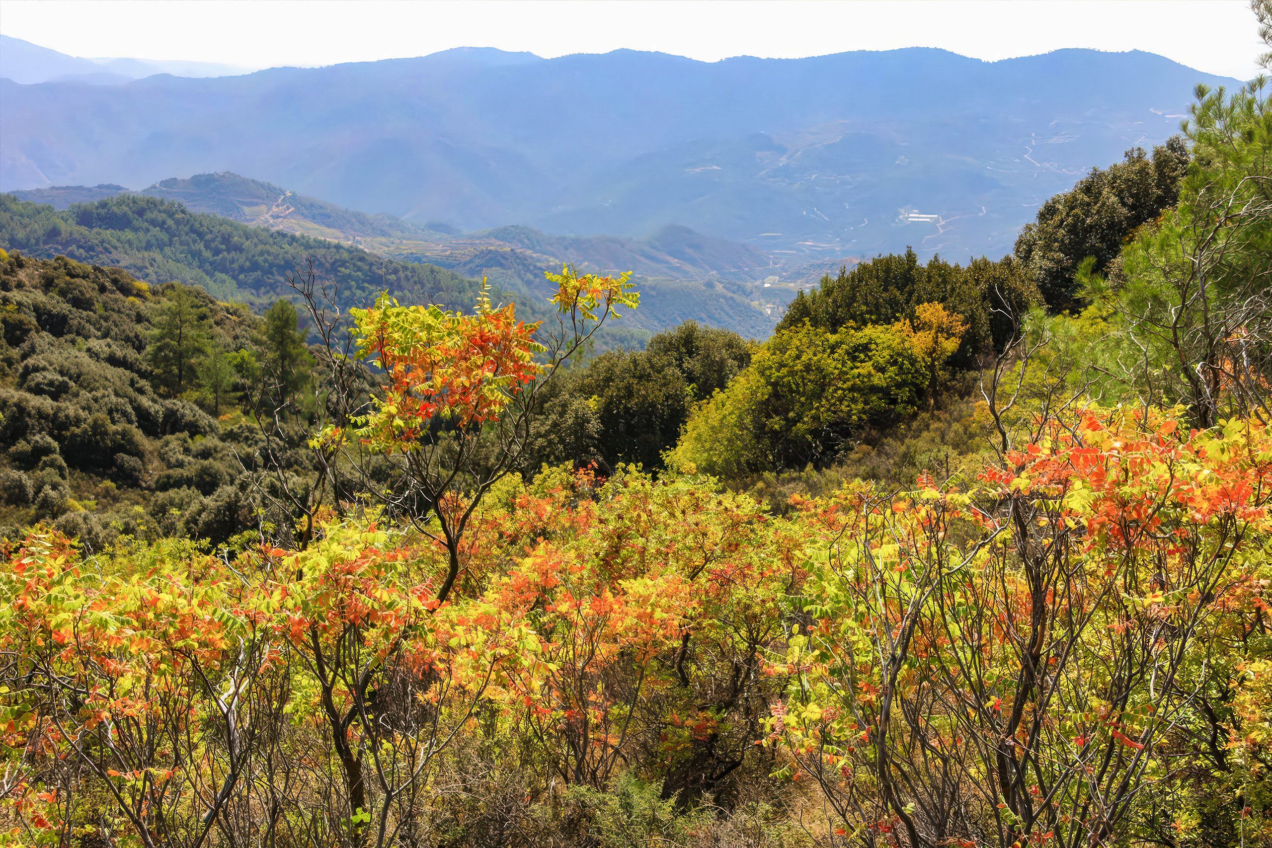
Papoutsa Peak stands at 1,554 metres in the eastern Troodos Mountains, surrounded by one of Cyprus’s most important forest reserves. The forests are part of the Adelfoi Forest system, a vast protected area recognized within the Troodos Geopark for its ecological significance. The peak sits between Mount Olympus to the west and Madari to the north, creating a corridor of protected wilderness that covers over 120 square kilometres. Unlike more accessible Troodos peaks with developed facilities, Papoutsa maintains a wilder character with fewer visitors and more pristine ecosystems.
The mountain lies within the Papoutsa and Adelfoi Forests mentioned by the Troodos Geopark as among the island’s most noteworthy woodland areas. These forests protect crucial habitat for species found nowhere else on Earth. The combination of elevation, geology, and minimal human disturbance creates conditions where rare plants and animals can survive pressures that threaten them in more accessible locations.
Historical Background
The Troodos Mountains, including Papoutsa, emerged approximately 92 million years ago as oceanic crust from the ancient Tethys Ocean. Tectonic forces pushed this underwater rock upward through obduction, eventually creating the island’s central mountain mass. Papoutsa consists of the same serpentinized harzburgite and peridotite rocks found throughout Troodos, representing mantle material from thousands of metres beneath the ancient seabed.
These ultramafic rocks create unique soil chemistry with high concentrations of magnesium and iron but low levels of calcium and essential plant nutrients. This challenging environment forced plants to develop specific adaptations to survive, leading to high rates of endemism. Species that evolved to tolerate serpentine soils often cannot compete elsewhere, while plants adapted to normal soils struggle on serpentine, creating distinct botanical communities.
The forests developed over millennia as climate stabilized following the last ice age. Seeds arrived through wind, birds, and other dispersal mechanisms, with successful species gradually establishing populations. Human activity shaped these forests through charcoal production, timber harvesting, and occasional fires, but the rugged terrain and eventual protection prevented the complete deforestation that affected more accessible areas.
What Makes Papoutsa Special
The Papoutsa area supports exceptional plant diversity with numerous endemic species restricted to the Troodos range. The Cyprus cedar (Cedrus brevifolia) grows here in scattered stands, representing an endangered subspecies found only on Cyprus. Golden oak (Quercus alnifolia), with its distinctive golden leaf undersides, forms pure stands or mixes with pines across the slopes. This tree exists nowhere else on Earth outside Cyprus’s mountains.
Black pine (Pinus nigra subspecies pallasiana) dominates at higher elevations, with specimens several centuries old spreading massive branches over rocky outcrops. Calabrian pine (Pinus brutia) takes over at lower zones, creating the transition forest where both species mix. Juniper species including Juniperus foetidissima and Juniperus oxycedrus grow scattered through the pine forests or form dense thickets on exposed ridges.
Endemic wildflowers bloom across seasons. The Troodos rose (Rosa chionistrae) produces small pink flowers in summer, growing only in these mountains. Cyprus catmint (Nepeta troodi) releases aromatic oils when crushed, attracting pollinators to its purple flower spikes. Star of Bethlehem (Ornithogalum chionophilum) emerges as snow melts, its white flowers carpeting forest clearings. Purple rock cress (Arabis purpurea) clings to limestone outcrops where most plants cannot establish roots.
Wildlife includes the Cyprus mouflon, the island’s largest wild mammal and national animal. These wild sheep, endemic to Cyprus, once roamed throughout the island but now survive primarily in the Paphos Forest and parts of Troodos National Forest Park including the Papoutsa area. The mouflon population nearly went extinct in the early 20th century, reduced to a few dozen individuals by uncontrolled hunting. Conservation efforts brought numbers back to approximately 3,000 animals, though sightings remain rare due to their cautious nature and preference for remote terrain.
The Cyprus warbler and Cyprus wheatear, both bird species found only on this island, nest in the forests and rocky areas around Papoutsa. The Cyprus scops owl, recently recognized as a distinct species separate from mainland relatives, hunts at night through the pine stands. Bonelli’s eagle patrols from elevated perches, scanning for hares and smaller prey across the forest canopy.
Interesting Facts About the Peak and Forests
Papoutsa Forest serves as a genetic reservoir for species that disappeared from other parts of Cyprus. Seeds collected here provide material for reintroduction programs attempting to restore degraded habitats elsewhere on the island. The forest’s relatively undisturbed state makes it valuable for studying how natural Mediterranean mountain ecosystems function without heavy human modification.
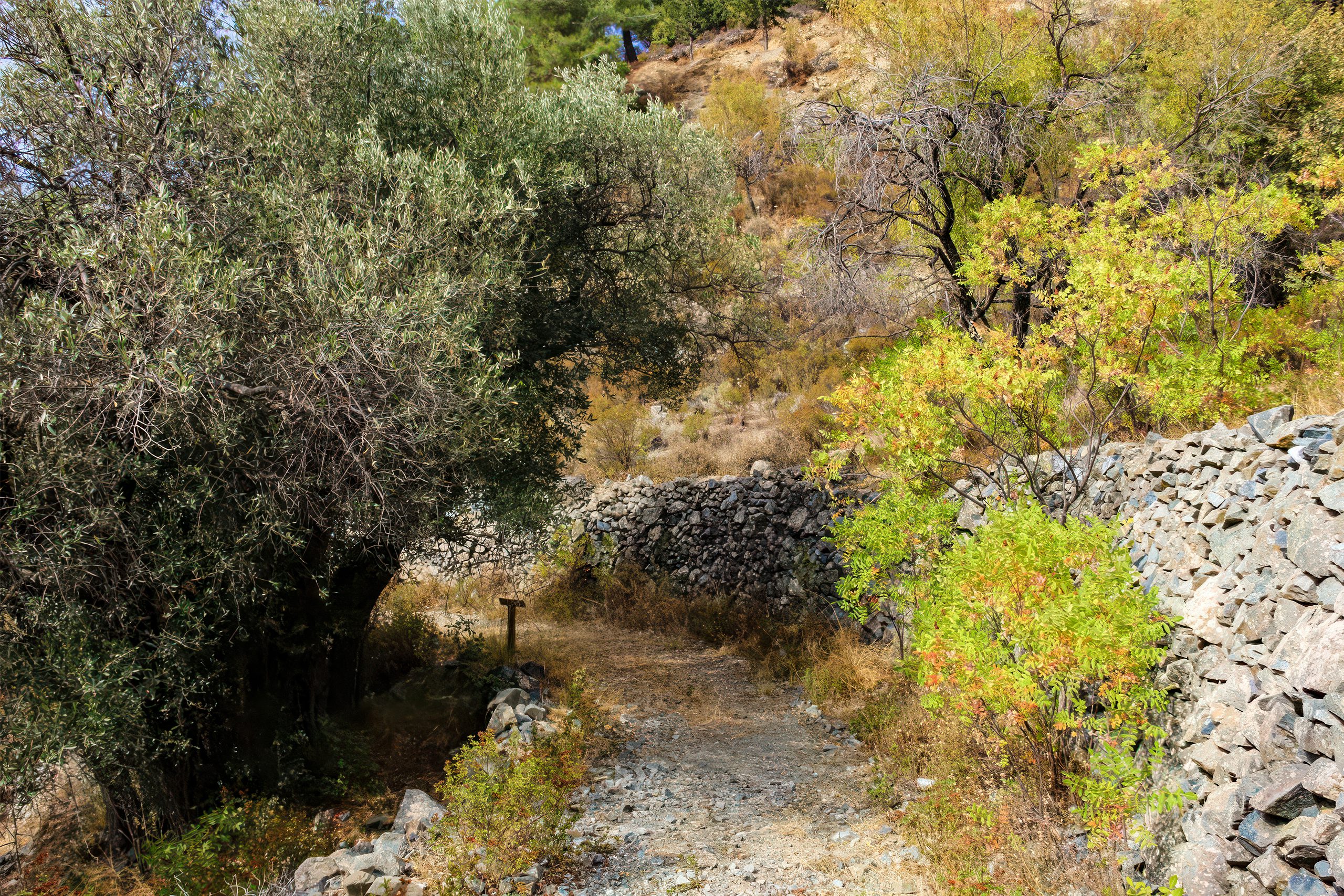
The area receives significantly more rainfall than coastal regions, with annual precipitation reaching 800 to 1,000 millimetres compared to 300 to 400 millimetres at sea level. This moisture supports year-round streams rare on an otherwise dry island. The forest acts as a natural water tower, capturing precipitation and releasing it slowly through springs that feed agricultural areas and settlements at lower elevations.
Some black pine specimens in the Papoutsa area exceed 500 years in age. These ancient trees survived centuries of human activity including charcoal burning, timber harvesting for shipbuilding, and occasional fires. Their massive trunks and spreading crowns demonstrate successful adaptation to harsh conditions including temperature extremes, drought, wind, and poor soils.
The Cyprus mouflon shows island dwarfism, a phenomenon where large mammals evolve smaller body sizes on isolated islands. Modern mouflon measure approximately 18 percent smaller than their ancestors whose bones appear in Neolithic archaeological sites. Limited resources, phosphorus shortage in serpentine soils, and lack of predators contributed to this size reduction over thousands of years.
Rock formations around Papoutsa preserve geological evidence of processes that occurred beneath ancient oceans. The serpentinized rocks show characteristic green colours and waxy textures resulting from chemical reactions when water interacts with mantle minerals. Geologists study these exposures to understand how oceanic crust forms and how tectonic processes operate beneath the seafloor.
Conservation in the Papoutsa Region
The forests around Papoutsa fall within protected designations under both Cypriot law and European Union conservation directives. The area forms part of the Natura 2000 network, recognizing its importance for biodiversity at a continental scale. This status requires management plans that balance human use with ecosystem protection, preventing activities that would degrade habitat quality or threaten species populations.
Forestry department staff monitor mouflon populations through camera traps, direct observation, and population modelling. These efforts track reproduction rates, mortality causes, and habitat use patterns. Data informs management decisions about controlled access, fire prevention, and potential threats from feral dogs or livestock disease transmission from domestic animals.
Endemic plant monitoring focuses on species with small populations vulnerable to extinction from single catastrophic events. Climate change presents particular concerns as temperature increases and precipitation patterns shift. Species adapted to current conditions may struggle as their suitable habitat zones move upward in elevation, eventually running out of mountain as they reach the summit.
Reforestation programs use seeds collected from Papoutsa and similar forests to restore areas degraded by past overuse. The genetic diversity preserved in these natural stands provides material adapted to local conditions, improving survival rates compared to using seeds from distant sources. Careful matching of seed sources to planting locations helps maintain genetic adaptation to elevation, aspect, and soil conditions.
Why Papoutsa Matters to Modern Cyprus
The forests around Papoutsa provide ecosystem services worth far more than timber extraction could generate. Water capture and gradual release through the year supports agriculture and urban populations downstream. The forest moderates local climate, reducing temperature extremes and increasing humidity that benefits both wild species and nearby villages.
Carbon storage in old-growth trees and forest soils contributes to climate change mitigation. Each hectare of mature forest sequesters significant carbon dioxide that would otherwise contribute to atmospheric warming. Protecting these forests maintains this carbon storage while allowing additional accumulation as trees continue growing.
The area supports traditional practices including beekeeping, with hives placed in forest clearings to access diverse wildflower sources. Honey from Troodos mountains commands premium prices due to its flavour complexity derived from endemic aromatic plants. This sustainable use provides economic value while maintaining forest integrity.
Educational programs bring school groups and university students to study ecology, botany, and conservation in a living laboratory. The relatively undisturbed ecosystems demonstrate natural processes difficult to observe in heavily modified landscapes. Students learn plant identification, animal tracking, ecosystem relationships, and conservation challenges through hands-on field work.
Tourism focused on nature observation brings visitors seeking authentic wilderness experiences beyond beach holidays. Hikers, birdwatchers, botanists, and photographers contribute to local economies in mountain villages while developing appreciation for Cyprus’s natural heritage. This economic value from intact forests provides incentive for continued protection rather than conversion to other land uses.
Experiencing the Papoutsa Trails
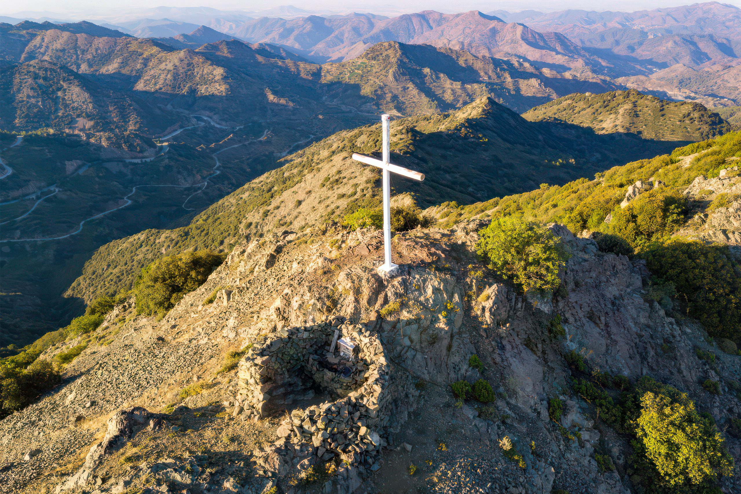
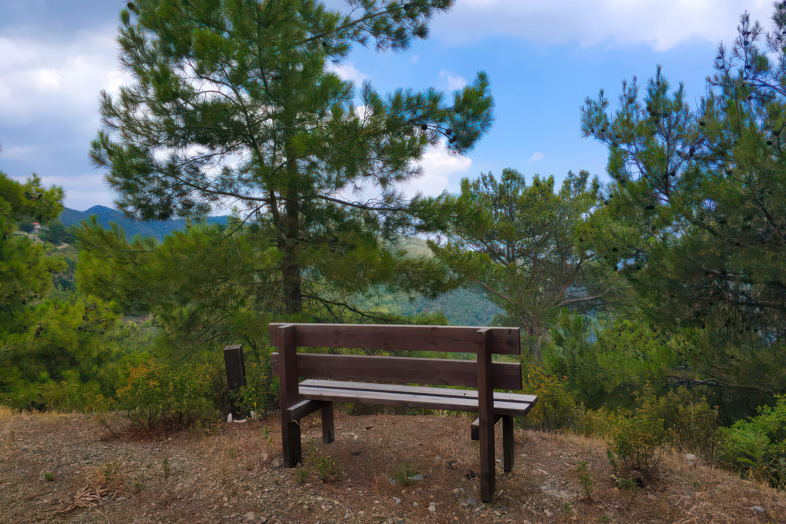
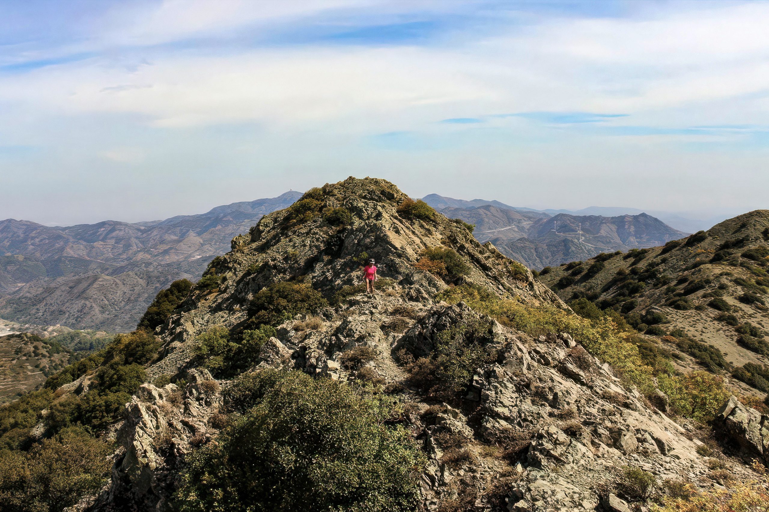
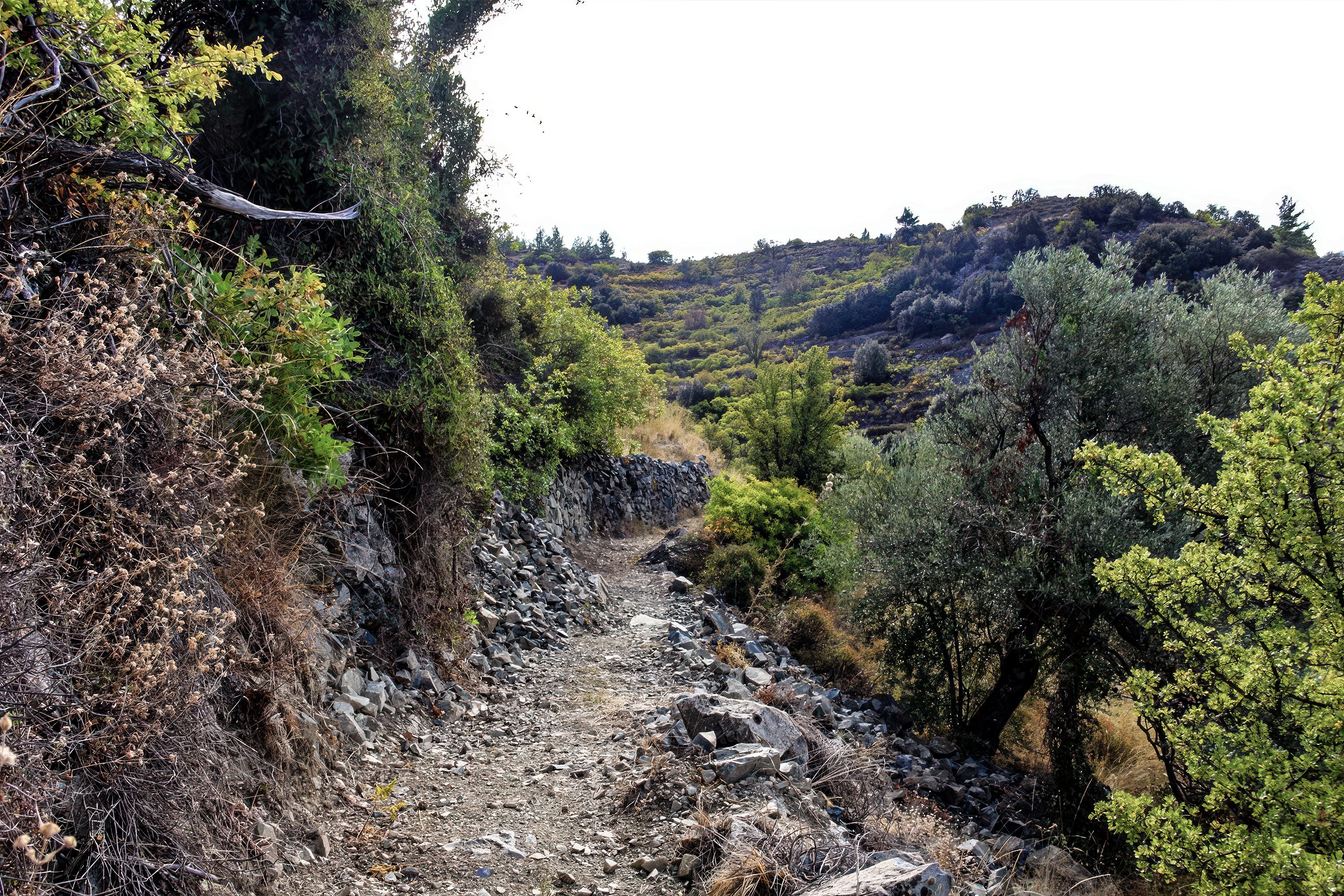
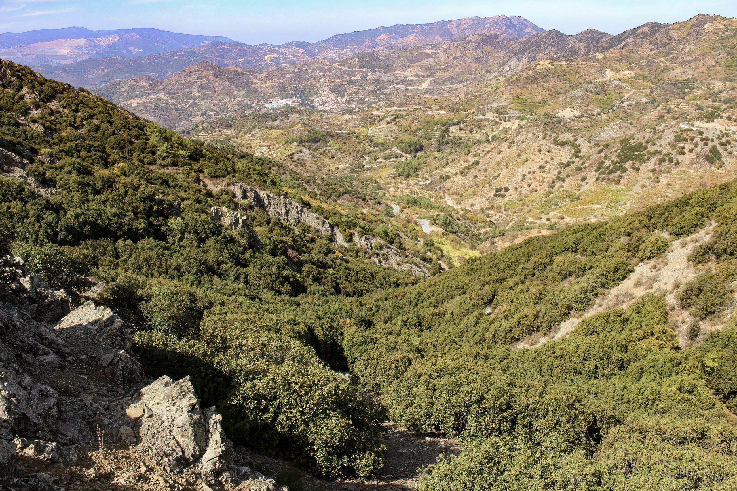
Several trails provide access to the Papoutsa area, though infrastructure remains more limited than at popular destinations like Mount Olympus or Madari. The Papoutsa Ridge Trail offers approximately 8 kilometres of moderate hiking through varied terrain including dense forest, rocky outcrops, and open ridges with expansive views. The trail connects to the broader network including routes to Madari and paths descending toward surrounding villages.
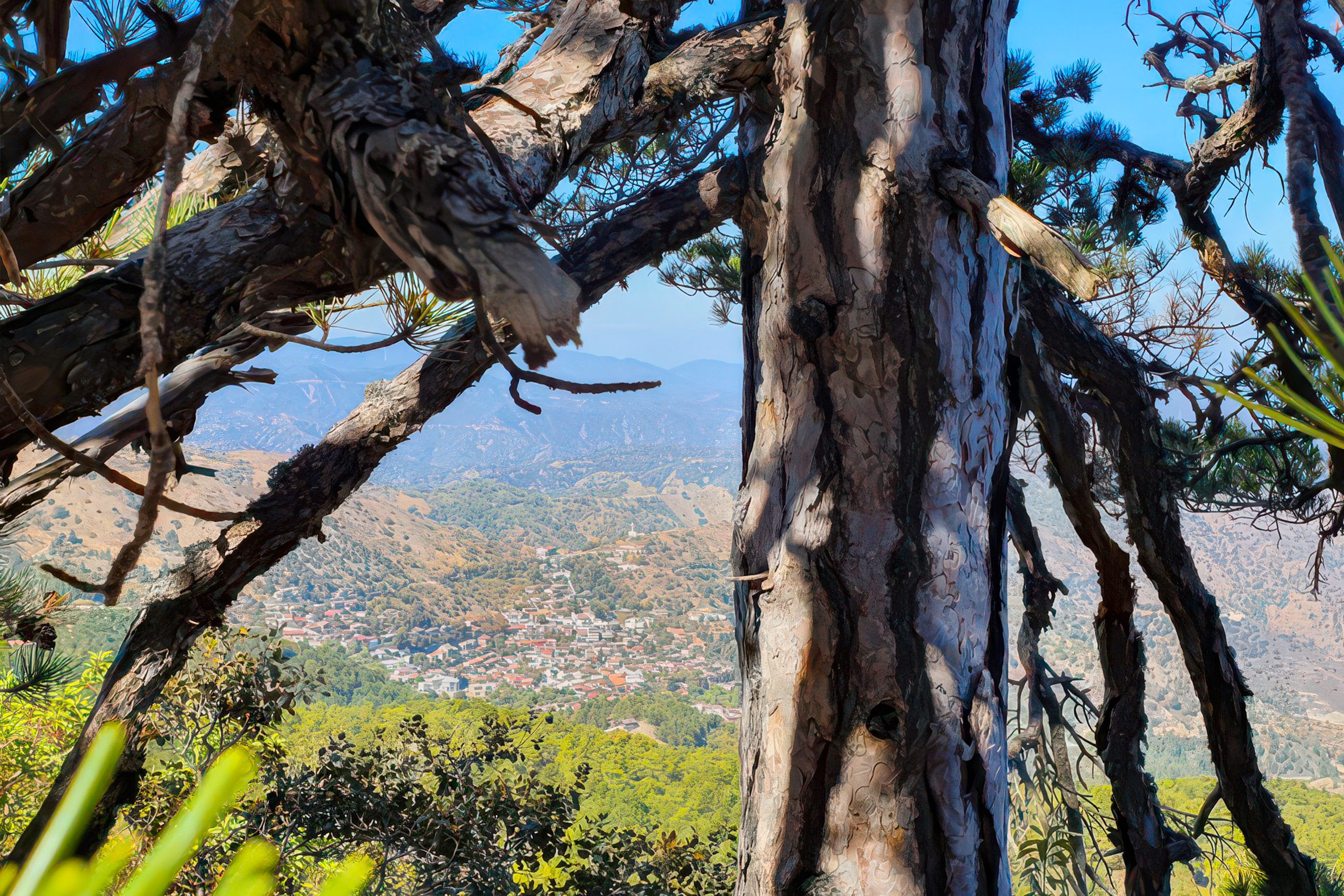
Hikers experience temperature changes between sun-exposed sections and shaded forest zones. The pine canopy creates cool microclimates even during summer heat, with temperatures 5 to 10 degrees lower than open areas. The aromatic scent of pine resin and wild herbs like thyme and oregano intensifies in warm conditions, creating sensory experiences beyond visual beauty.
Spring from March through May provides optimal conditions with moderate temperatures, abundant wildflowers, and active wildlife. Endemic orchids bloom along trail edges, butterflies patrol sunny clearings, and migratory birds pass through on their journeys between continents. Streams carry snowmelt and rain, creating seasonal waterfalls and pools where amphibians breed.
Visiting Papoutsa
Access requires private transport as no public buses serve the mountain trails. From Limassol, routes through wine villages lead to mountain access roads, with the journey taking 60 to 90 minutes depending on specific trail heads. From Nicosia, approaches through the eastern Troodos reach the area in similar times. Roads range from paved highways to forest tracks requiring careful driving on loose surfaces.
Parking exists at designated trail heads, though capacity remains limited compared to more developed sites. Weekends see increased use, particularly during ideal weather windows in spring and autumn. Early arrival secures parking and provides coolest hiking temperatures. The remote location means minimal facilities exist at trail heads, so visitors must come prepared with water, food, and safety equipment.
Trail markings vary in quality and frequency. Main routes show regular signs with distances and directions, but less-travelled paths may have minimal marking requiring map and compass skills or GPS navigation. Visitors need to download offline maps before departure as mobile coverage becomes unreliable in valleys and dense forest sections. Emergency services can respond to the area, but rescue from remote locations requires time and may involve helicopter evacuation.


