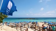
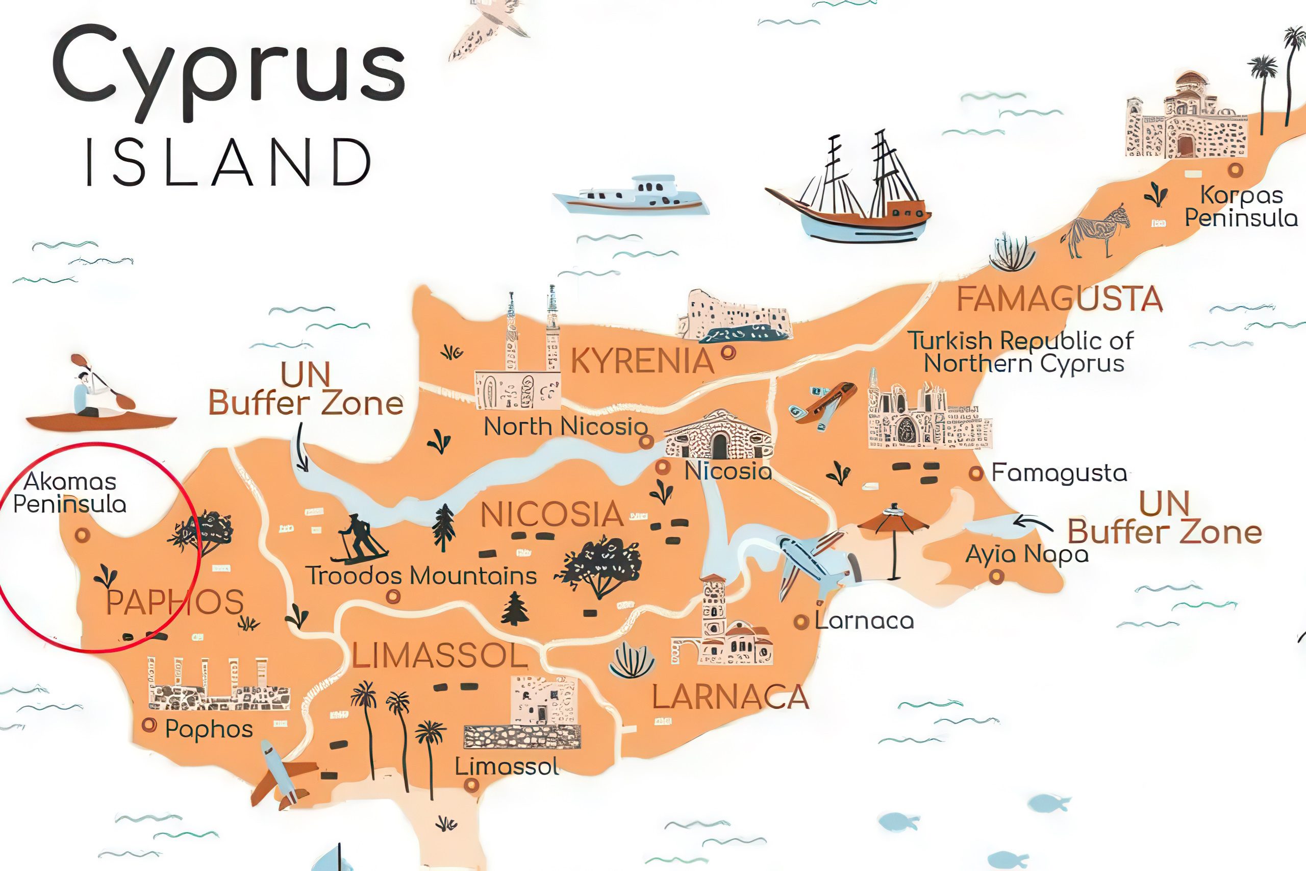
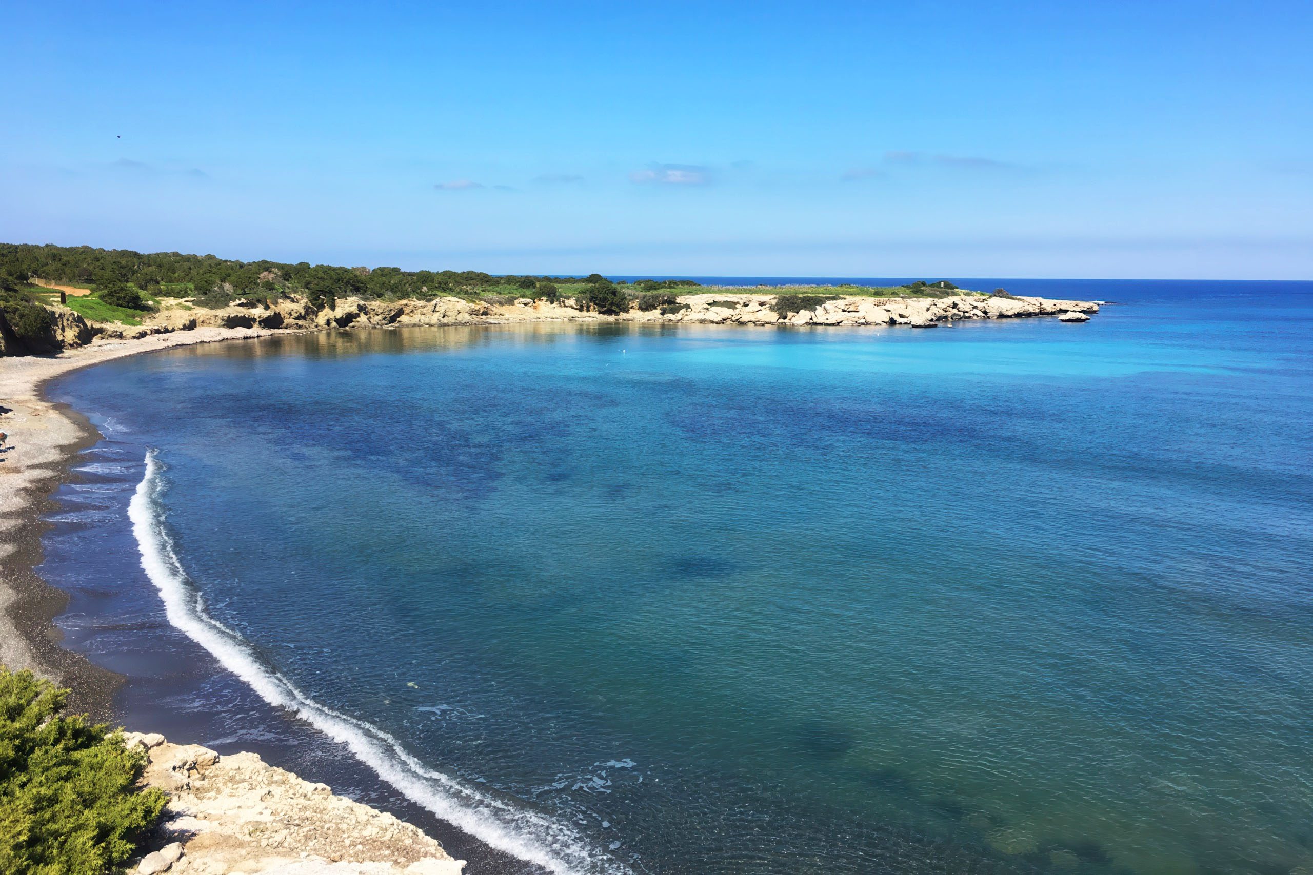
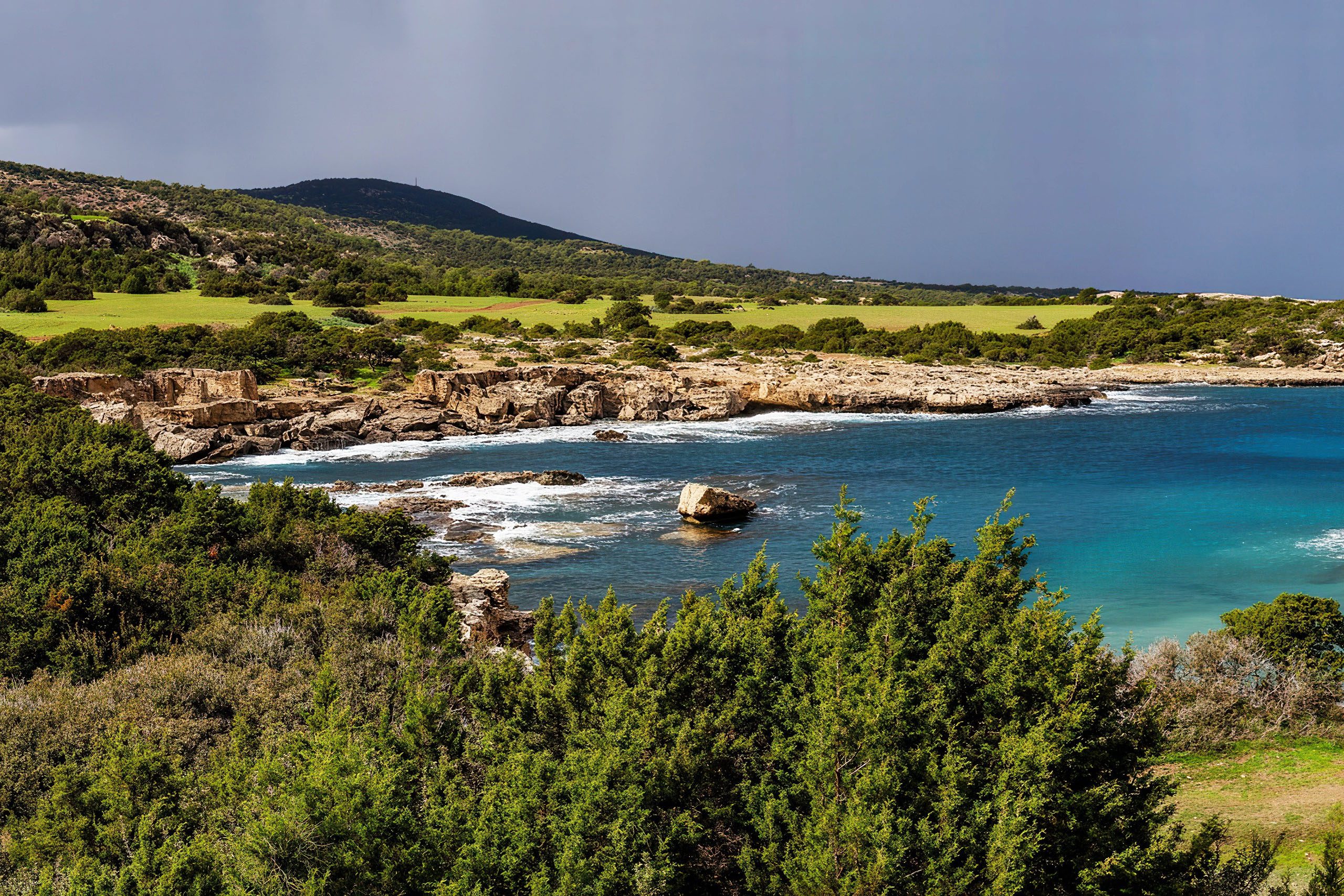
Akamas Peninsula National Park occupies the northwestern tip of Cyprus, beginning just north of Paphos and extending to Cape Arnaoutis. The landscape varies from golden beaches and dramatic coastal cliffs to arid plains covered in Mediterranean scrub and mountain forests of pine and juniper.
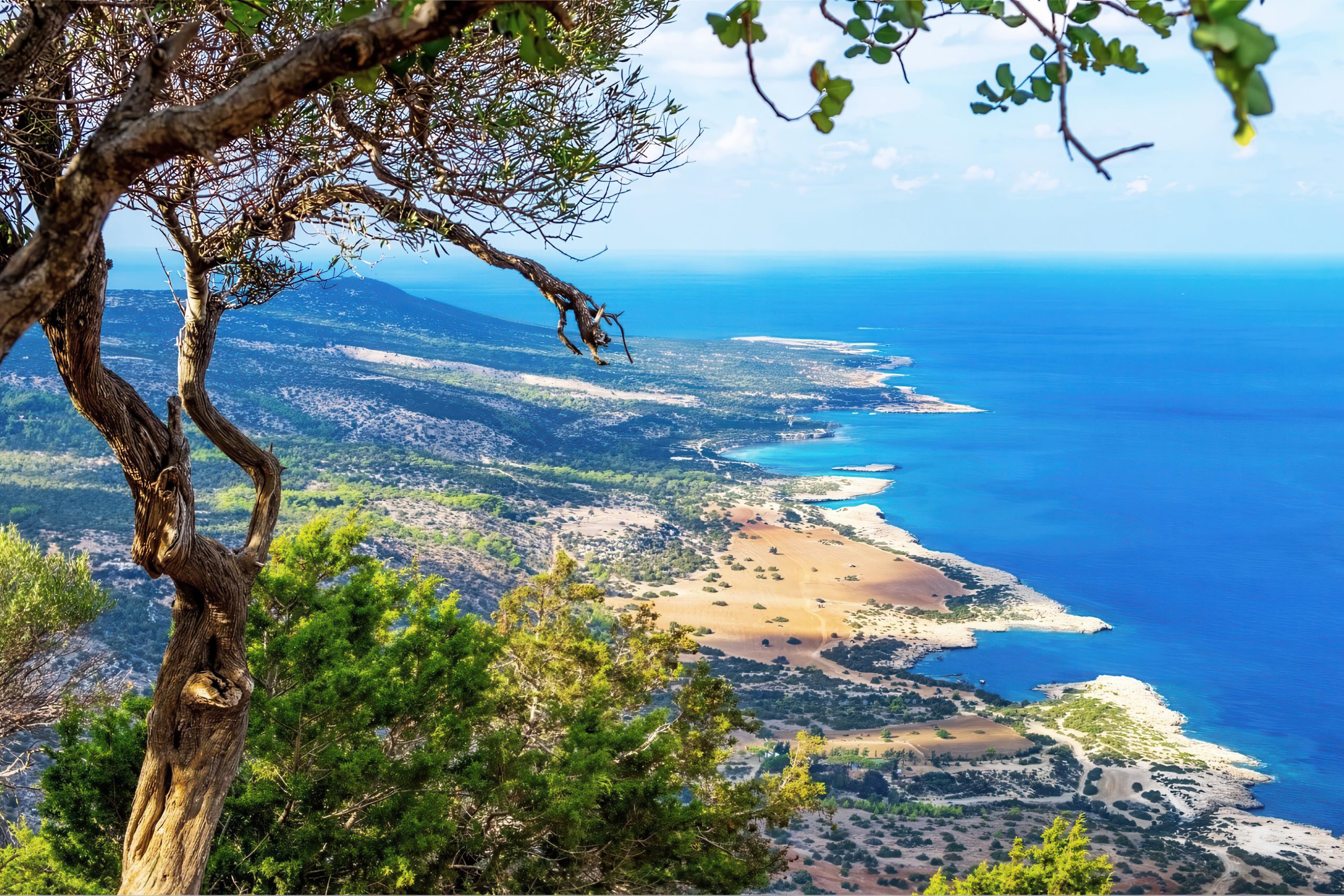
Deep gorges carved by seasonal rivers cut through the limestone terrain. No paved roads cross the interior, and most of the peninsula remains uninhabited. The area takes its name from Akamas, a son of the mythological hero Theseus, who supposedly founded the ancient city of Soli after fighting in the Trojan War.
- Historical Background
- Wildlife from fruit bats to monk seals
- Exceptional Plant Diversity
- Wildlife in a Protected Refuge
- Lara Bay Turtle Sanctuary
- Avakas Gorge and Natural Landmarks
- Worth Knowing About the Peninsula
- Visiting Akamas Today
- Exploring the peninsula responsibly
- Why Akamas Matters to Cyprus
Historical Background
Until the year 2000, the British military used Akamas for training exercises and as a firing range. Under the 1960 Treaty of Establishment, the British Army was allowed to use the peninsula for up to 70 days each year. The military presence actually helped preserve the area by preventing development. When the British withdrew, conservation groups and the Cyprus government began the long process of establishing protected status.
In preparation for Cyprus joining the European Union, most of Akamas received designation under the Natura 2000 network between 2003 and 2009. Two turtle nesting beaches became Sites of Community Importance. The Polis-Gialia area received status as a Special Area of Conservation. The entire peninsula was designated a Special Protection Area for birds. However, only 50% of the terrestrial area originally proposed for protection in 2003 actually received designation by 2009.
The area faces ongoing threats from tourism development and the proposed A7 motorway between Polis and Paphos. Environmental organizations, including the Green Party of Cyprus, Greenpeace, and Friends of the Earth, continue lobbying for stronger protection. The government has committed to declaring the area a National Forest Park, though implementation has faced delays and resistance from landowners who hold private property within the boundaries.
Since 2017, approximately 80 fires have been deliberately set in or around the National Forest Park. Agriculture Minister Costas Kadis stated in 2021 that economic interests were behind fires deliberately set to sabotage plans for full protection. After one fire in 2021, the head of the forestry department noted that fires seemed to break out whenever meetings were planned to discuss Akamas protection measures.
Wildlife from fruit bats to monk seals
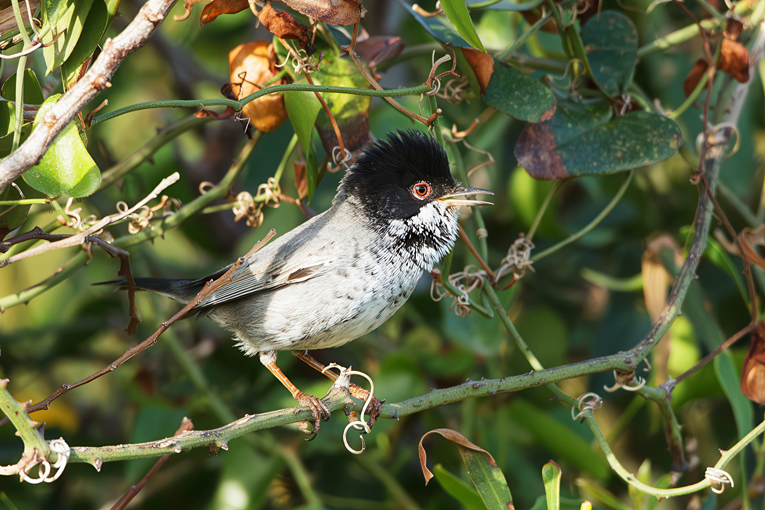
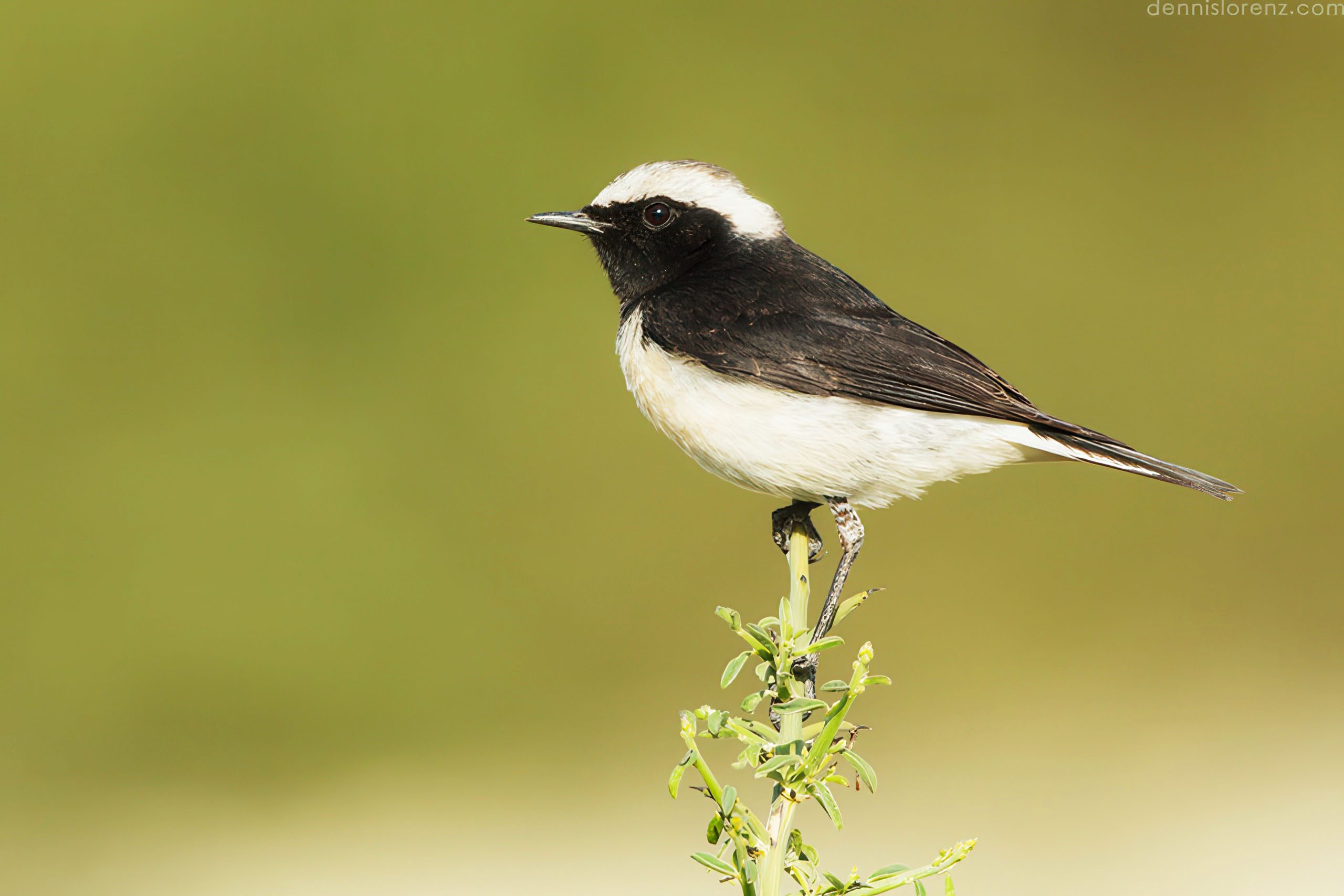
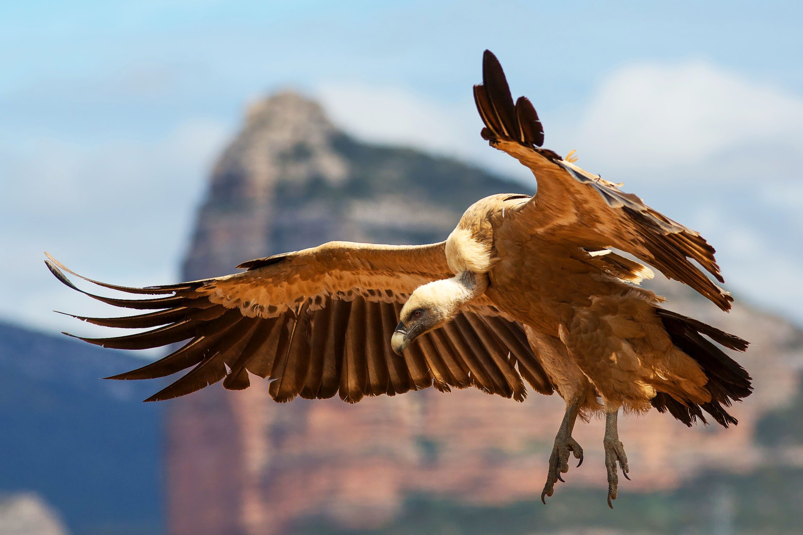
The peninsula provides habitat for 168 varieties of birds, 20 different reptile species, 16 butterfly species, and 12 mammal species. Rare migratory birds use Akamas as a stopover point, while endemic Cyprus warblers and Cyprus wheatear nest in the scrubland. Griffon vultures soar on thermals above the cliffs, and Bonelli’s eagles breed in mountainous sections. Cyprus scops owls hunt at night through the forests.
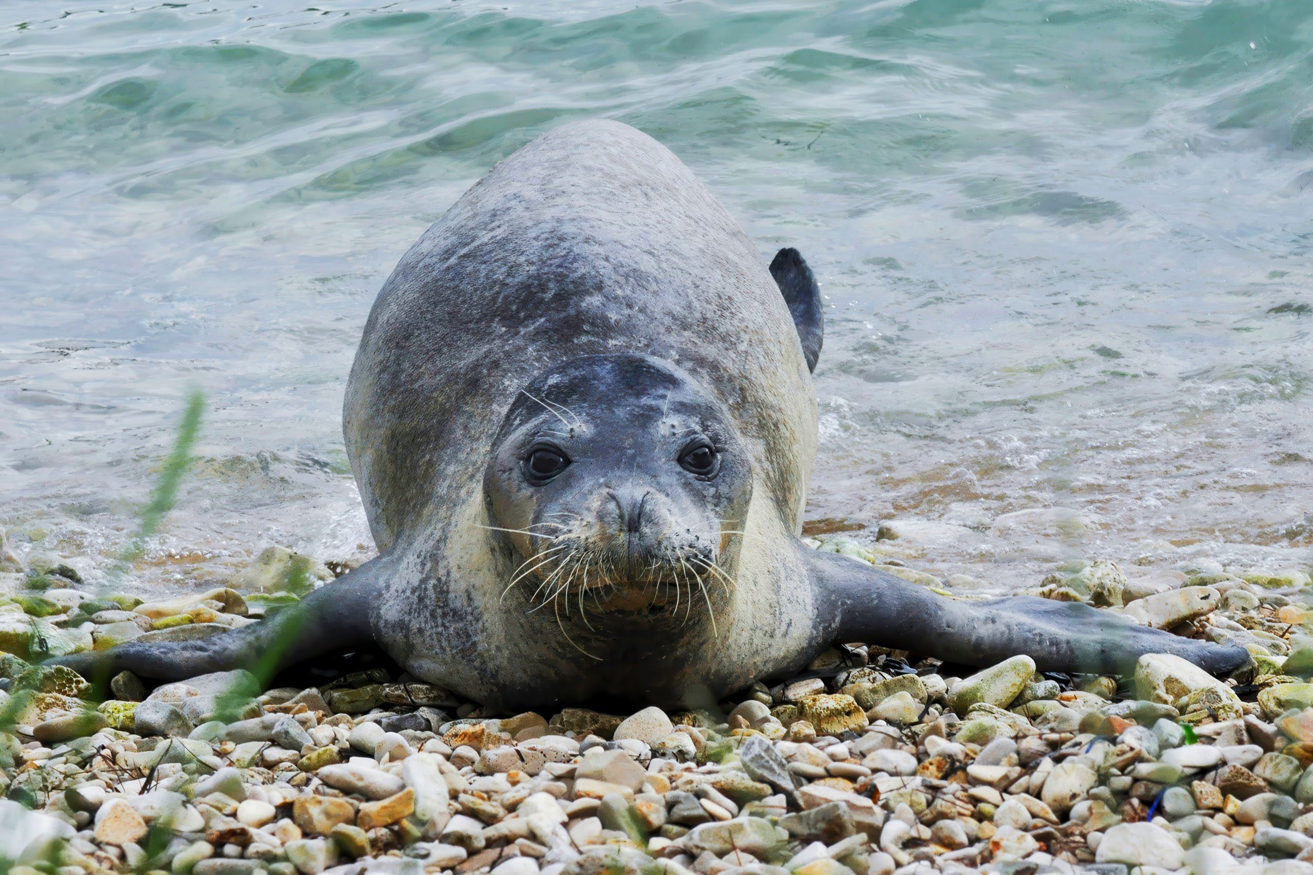
The European roller bird with its brilliant blue plumage attracts birdwatchers during migration seasons. Mammals include fruit bats that live and breed in limestone caves, shrews, hedgehogs, and foxes that can be spotted at dawn and dusk. The critically endangered Mediterranean monk seal occasionally visits secluded coves, though sightings remain extremely rare.
Reptiles include the black snake, blunt nosed viper, and numerous lizard species that grow larger at higher elevations. The peninsula serves as one of the
Exceptional Plant Diversity
Akamas supports over 600 plant species in its varied habitats. Of the 128 plant species endemic to Cyprus, 39 grow only on this peninsula. These include rare orchids like Ophrys kotschyi and Ophrys lepethica, the Cyprus cyclamen with its distinctive pink flowers, and the bright yellow Crocus veneris that blooms in autumn.
The strawberry tree, with its red edible fruits, grows in the forests. Pink and purple peonies bloom in spring on the hillsides. The endemic Cyprus tulip, Tulipa cypria, appears in rocky areas. Several endemic species of Centaurea, including Centaurea akamantis and Centaurea veneris, grow nowhere else in the world.
The plant communities change with elevation and exposure. Coastal cliffs support salt-tolerant species. The dry plains feature aromatic herbs, including thyme, sage, and oregano. Pine forests cover the higher slopes. Seasonal streams support riparian vegetation, including plane trees, oleanders, and wild carob.
Wildlife in a Protected Refuge
Over 168 bird species have been recorded at Akamas, making it one of Cyprus’s most important birding areas. The peninsula serves as a vital stopover point for migratory birds traveling between Europe and Africa. Resident species include the rare Cyprus warbler, found only on Cyprus, and the Cyprus wheatear. The Bonelli’s eagle breeds in the mountainous parts.
Griffon vultures, once widespread across Cyprus, now survive primarily in the Akamas region. These large birds with wingspans up to 2.8 meters nest on cliff faces and soar on thermal currents. The endangered Egyptian fruit bat forms colonies in limestone caves throughout the peninsula. Sir David Attenborough filmed these fruit-eating bats for a wildlife documentary.
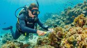
The Mediterranean monk seal, one of the world’s rarest marine mammals with fewer than 700 individuals remaining, occasionally appears in the waters around Akamas. Both green turtles and loggerhead turtles nest on the peninsula’s beaches, particularly at Lara Bay and Toxeftra. Reptiles include several endemic species like the Cyprus whip snake and the blunt-nosed viper.
Mammals include red foxes, hedgehogs, and shrews. Sixteen species of butterflies live on the peninsula, some found nowhere else. The coastline supports diverse marine life, including grouper, octopus, and sea urchins in the clear waters.
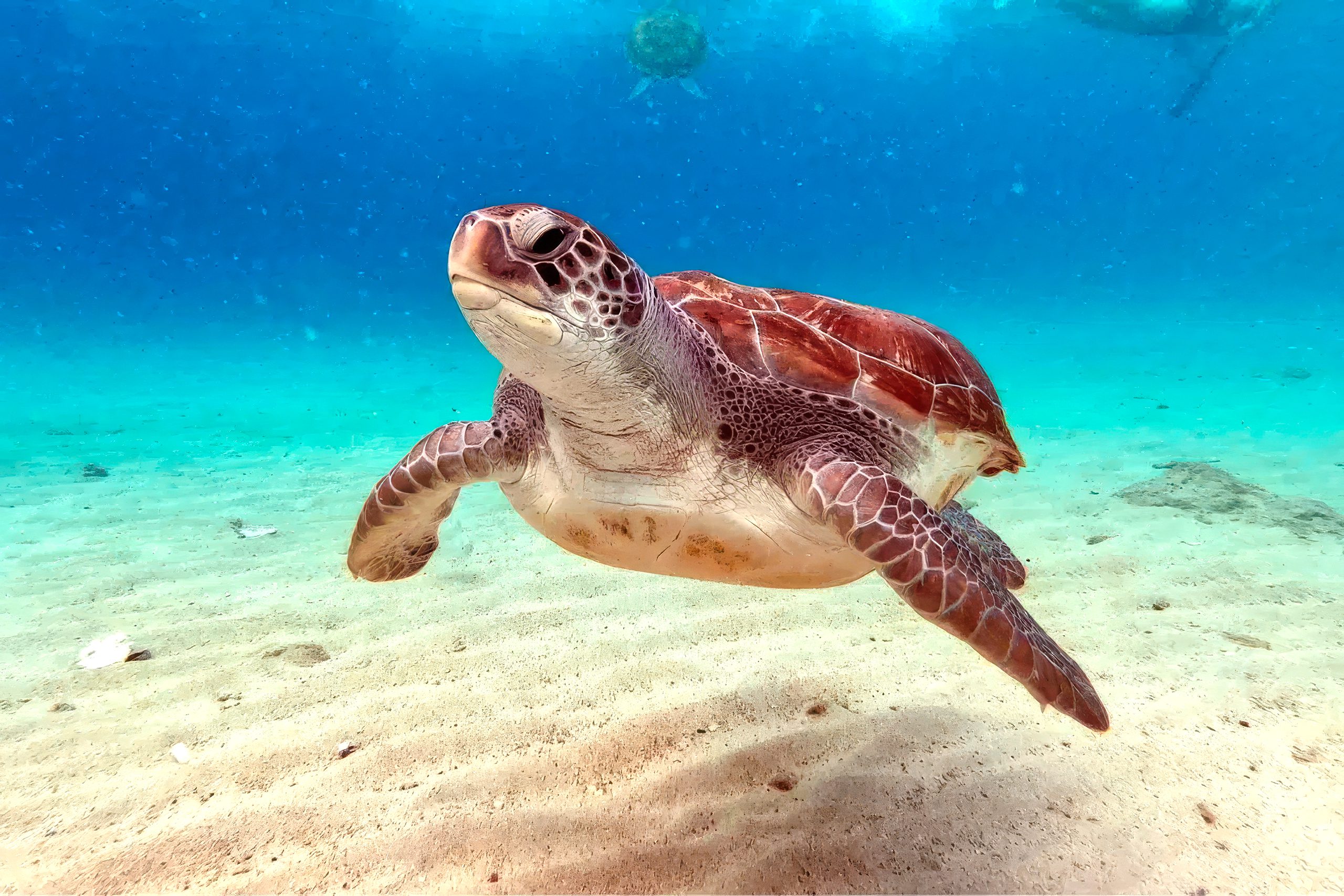
Lara Bay Turtle Sanctuary
Lara Bay operates as one of the most important turtle conservation stations in the Mediterranean. The Cyprus Department of Forestry and Fisheries runs the facility, which protects nesting sites for endangered green turtles and loggerhead turtles from May through mid-August.
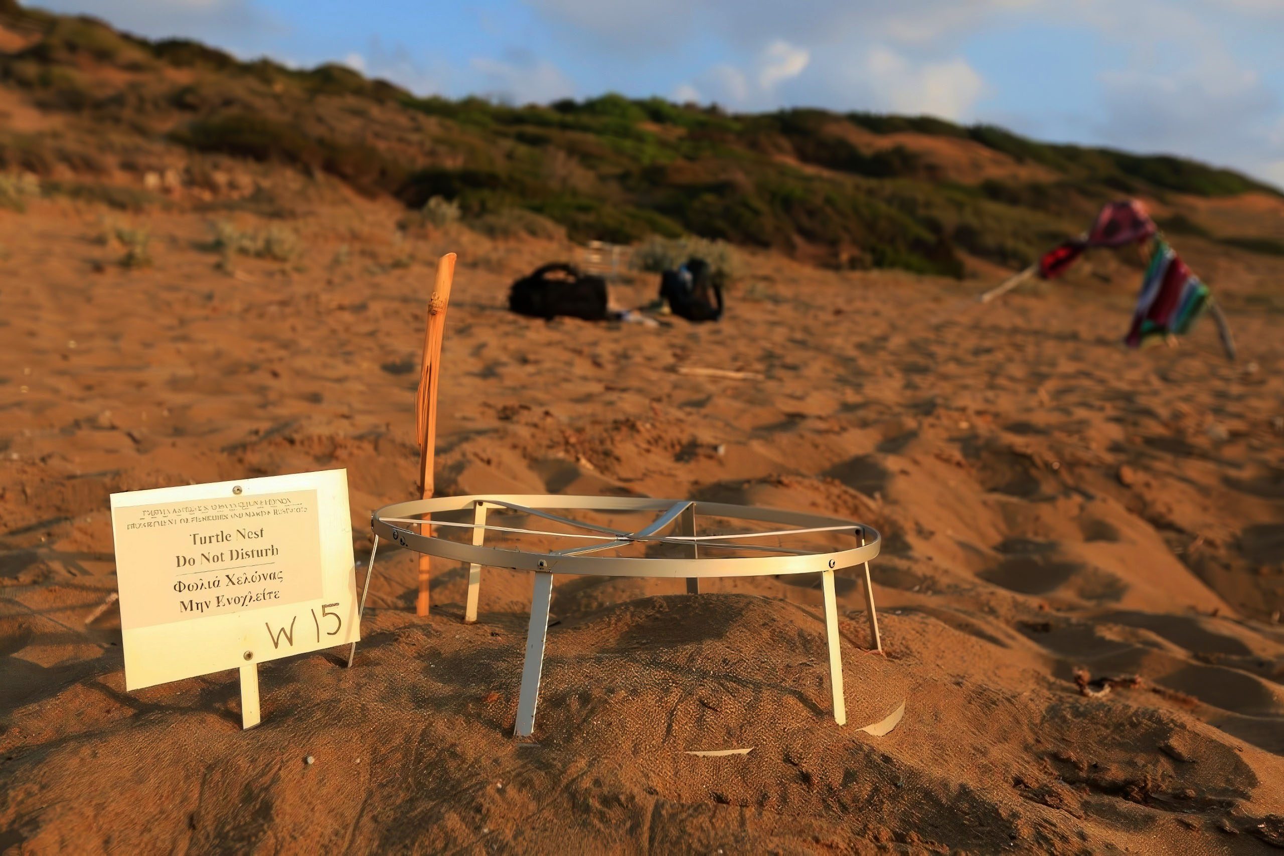
Female turtles return to the same beaches where they hatched, sometimes after spending 20 years at sea. They come ashore at night to dig nests in the sand and lay eggs. Conservation staff patrol the beach daily during nesting season, marking nests with wire cages to protect them from foxes and other predators. Signs warn visitors to stay clear.
Nests from other tourist beaches unsuitable as habitats are carefully transported to Lara station for protection. The eggs incubate for about two months before hatchlings emerge and make their way to the sea, usually at night. The station includes water tanks where newly hatched turtles spend their first hours before release.
Visitors can see the conservation station and learn about turtle biology and protection efforts. Between 100 and 200 nests are typically marked on Lara Beach each season. Access to the beach requires a short walk from parking areas. Swimming is permitted, but umbrellas, shade tents, and dogs are strictly prohibited as they can disturb nests or harm hatchlings.
Avakas Gorge and Natural Landmarks
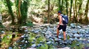
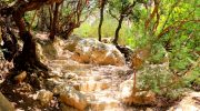
Avakas Gorge ranks among the most spectacular natural formations on Cyprus. Water erosion over thousands of years carved this narrow canyon through white limestone. The gorge walls rise up to 30 meters high in places. The path follows the seasonal Avgas River bed through the gorge.
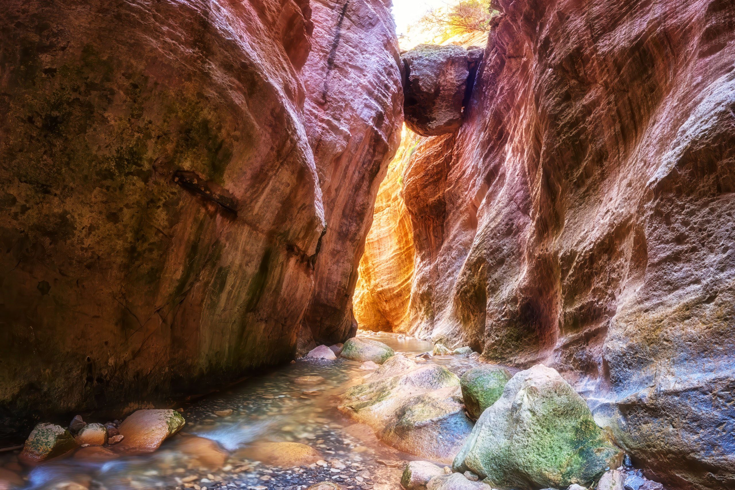
Light filters down between the towering walls, creating dramatic shadows and highlighting the layered rock formations. Wild fig trees and other plants grow from cracks in the stone. The gorge extends for about 3 kilometers. The hike requires good footwear as the path involves scrambling over rocks and sometimes wading through shallow water.
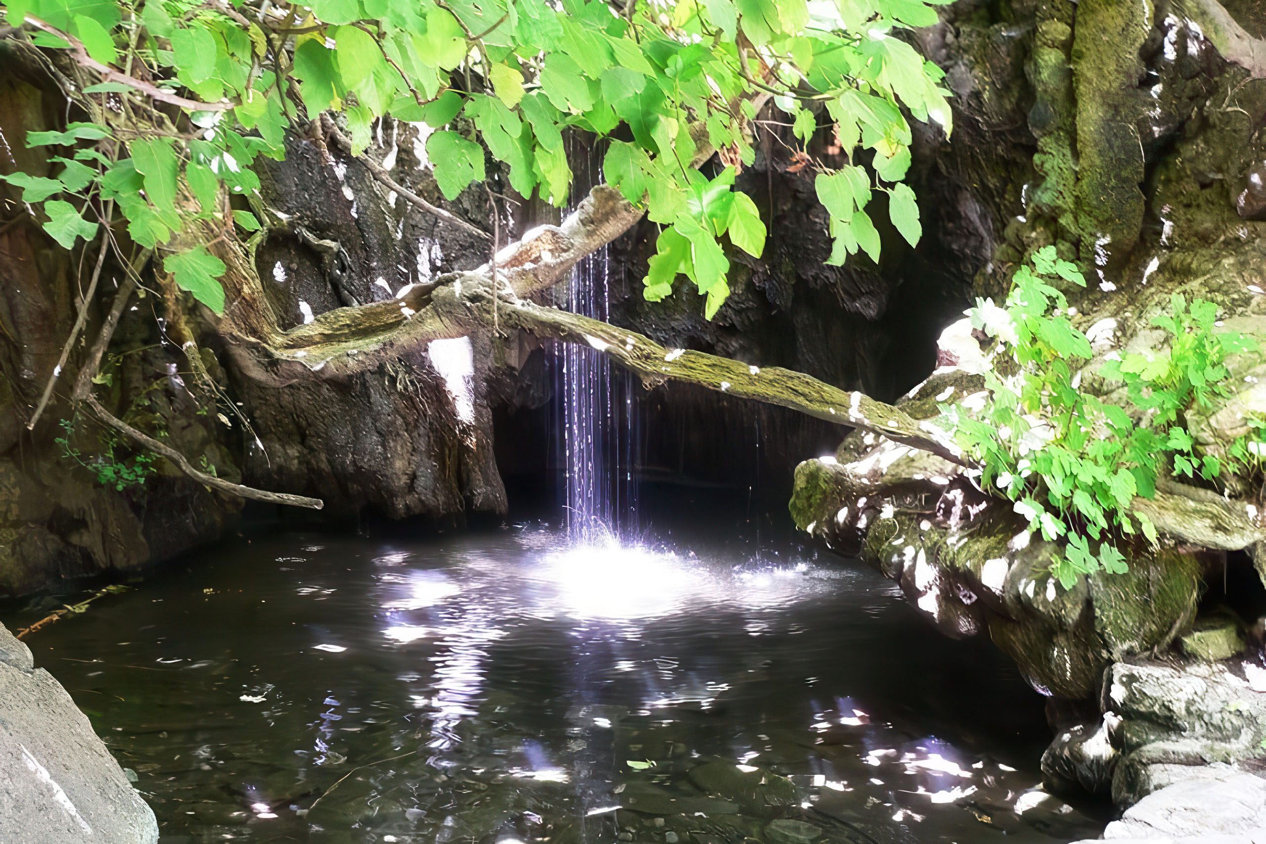
The Baths of Aphrodite are located near the northeastern edge of the park. According to Greek mythology, the goddess Aphrodite bathed in this natural spring and met her lover Adonis here. A small pool surrounded by lush vegetation marks the site. The location also serves as the starting point for the Aphrodite and Adonis nature trails.
Fontana Amorosa, which means Fountain of Love, is another site linked to Aphrodite. The Franks named this beach in the 16th century. Legend says anyone who drinks from the spring will be overcome with youthful desire. The crystal-clear waters and sandy bottom make it popular for swimming.
Worth Knowing About the Peninsula
Akamas served as a filming location for the movie “Akamas,” which premiered at the Venice Film Festival. The film tells a love story set against the backdrop of the island’s division in 1974.

Ancient geographer Ptolemy described Akamas in the 2nd century AD as a thickly wooded headland divided in two by mountains rising toward the north. This description remains accurate today, showing how little the landscape has changed across two millennia.
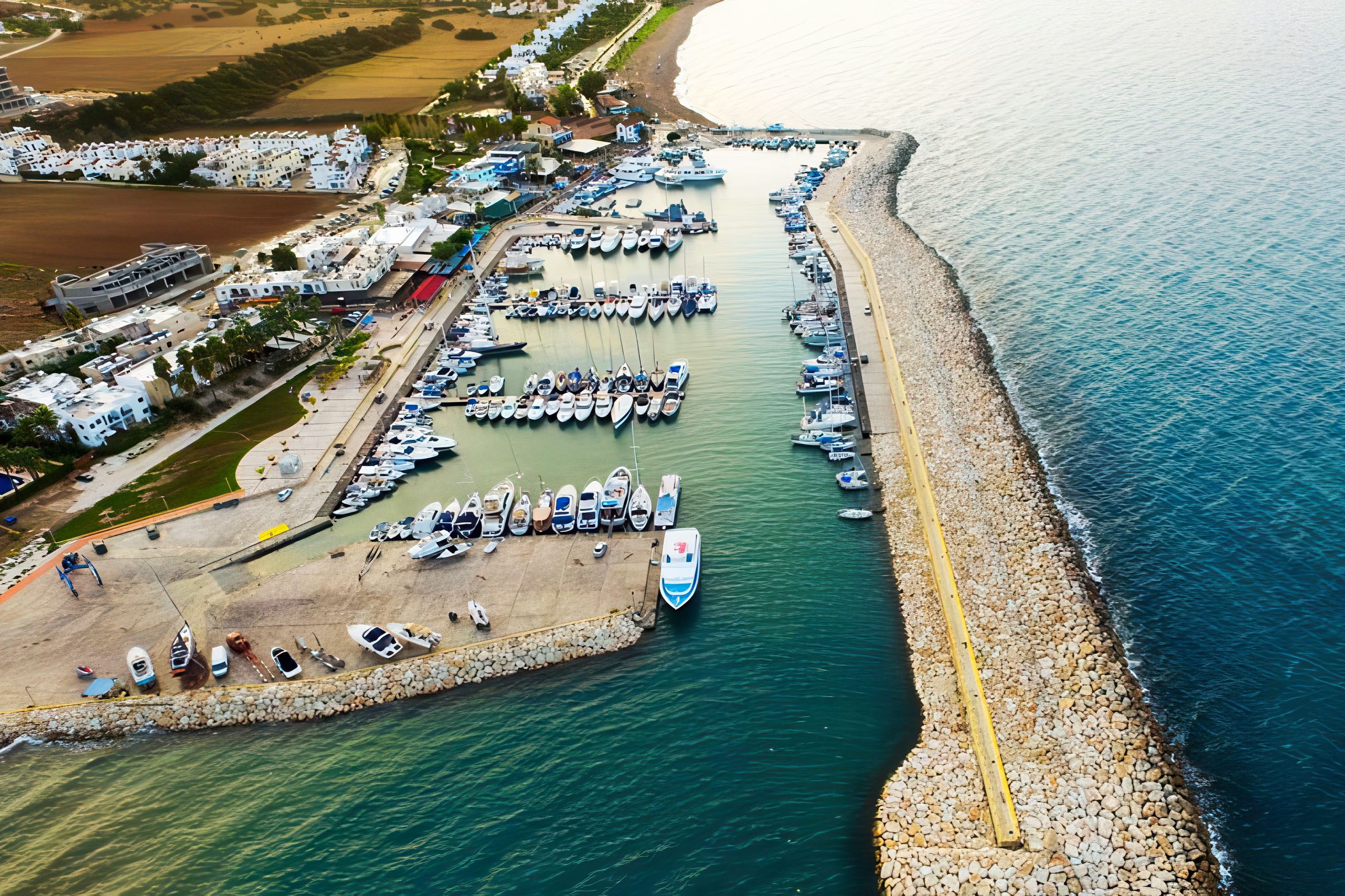
The town of Polis sits on the northeastern side of the peninsula, while Pegeia lies at the southern end. These settlements provide access points and services for visitors. Latchi, a fishing village and small harbor on the northeast coast, serves as the departure point for boat tours.
The peninsula contains scattered archaeological remains including ancient tombs, monastery ruins, and the foundations of small settlements. These sites receive little attention compared to major archaeological locations elsewhere on Cyprus, but they demonstrate continuous human presence over thousands of years.
Local shepherds still graze goats and sheep on parts of the peninsula, continuing a tradition that extends back to antiquity. However, overgrazing has been identified as one of the threats to fragile plant communities in some areas.
Visiting Akamas Today
The peninsula is accessible from Paphos, about 45 kilometers to the south. Visitors can drive to Polis and continue to the Baths of Aphrodite, where paved roads end. A tourist information point at the Baths provides maps and information about trails. Public bus route 622 runs from Polis to the Baths, taking about 20 minutes and costing 2 euros.
Exploring the interior requires either a four-wheel drive vehicle, joining an organized jeep tour, or hiking. Regular cars can reach some coastal areas on dirt roads, but may risk damage on rougher tracks. Jeep and buggy tours depart from Paphos, Latchi, and Polis. These typically visit the Blue Lagoon, Avakas Gorge, and Lara Bay in a half-day or full-day excursion.
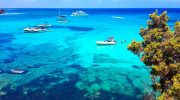
Boat tours from Latchi harbor offer a different perspective, stopping at swimming spots and coastal caves inaccessible by land. These trips typically include the Blue Lagoon and other bays along the western coast.
Exploring the peninsula responsibly
The peninsula can be accessed from Paphos or Polis by public transportation, rental car, or organized tours. Bus route 622 runs from Polis to the park entrance at the Baths of Aphrodite. Driving provides the easiest access to main tourist points, though beyond paved roads only 4×4 vehicles can navigate the dirt tracks that cross the interior. No paved roads run through the heartland of the peninsula due to its mountainous nature.
Some roads marked on maps are not sealed and require high clearance vehicles. Organized jeep tours provide guided access to interior locations including Blue Lagoon, Fontana Amoroza, and Avakas Gorge. Quad bike rentals allow independent exploration of dirt roads. Hiking and mountain biking provide the most environmentally friendly ways to experience the wilderness.
Visitors should stay on designated trails to avoid damaging fragile vegetation and disturbing wildlife habitats. Dispose of all waste properly and consider picking up litter left by others. Avoid entering Avakas Gorge during heavy rainfall due to dangerous flooding risk. The best seasons for visiting are spring from March to May when wildflowers bloom and temperatures remain moderate, or autumn from September to November when crowds thin and golden oak leaves
Why Akamas Matters to Cyprus
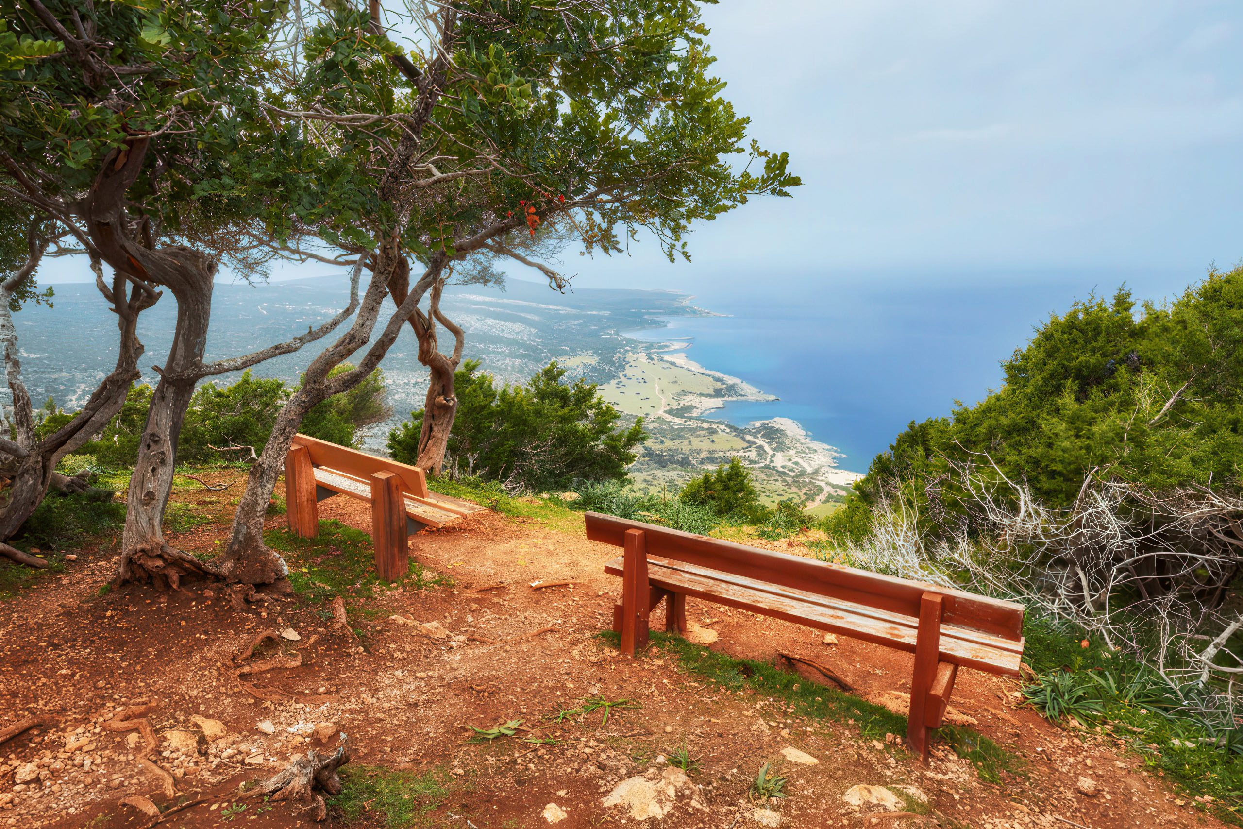
Akamas represents what most of Cyprus looked like before mass tourism development transformed the coastline. The peninsula shows the island’s natural state, with ecosystems functioning as they have for thousands of years. Walking through Avakas Gorge or along a deserted beach at Akamas provides a connection to the landscape that ancient Cypriots experienced.
The biodiversity concentrated here makes Akamas irreplaceable. One third of Cyprus’s endemic plants grow on this peninsula. Endangered species like the monk seal and sea turtles depend on these protected beaches and waters. The fruit bat colonies represent unique evolutionary adaptations. Losing Akamas would mean losing species found nowhere else on earth.
The peninsula demonstrates that conservation and tourism can coexist if managed properly. Thousands of visitors explore Akamas each year through hiking, jeep tours, and boat trips. These activities generate income for local communities while raising awareness about environmental protection. Proper management could expand sustainable tourism while strengthening conservation.
Akamas also represents Cyprus’s commitment to international environmental agreements. As a Natura 2000 site, the peninsula contributes to the European Union’s network of protected areas. The turtle conservation work supports global efforts to save endangered marine species. How Cyprus manages Akamas will influence its environmental reputation internationally.