The Troodos Mountains rise from the heart of Cyprus as the island’s highest mountain system, with Mount Olympus reaching 1,952 meters above sea level. More than a scenic landscape, this mountain range forms the ecological and climatic core of the island. Its slopes regulate water supply, shape weather patterns, and support an extraordinary concentration of life found nowhere else in the Mediterranean. What makes Troodos truly exceptional is its geological origin. The mountains expose one of the most complete sections of ancient oceanic crust ever discovered on land, creating conditions that shaped a unique and fragile ecosystem over millions of years.
Historical Background
The Troodos Mountains formed approximately 92 million years ago at the bottom of the ancient Tethys Ocean, nearly 8,000 meters below the sea surface. Molten rock from the Earth’s mantle rose through fractures in the ocean floor, solidifying into layers of basalt, gabbro, and peridotite. When the African and Eurasian tectonic plates collided, this section of oceanic crust was pushed upward rather than sinking back into the mantle. Geologists describe this phenomenon as an ophiolite complex, and Troodos represents the best preserved and most accessible example in the world.
Uplift began around 20 million years ago, with Mount Olympus at its center. Over time, erosion stripped away upper layers and exposed deeper geological formations normally hidden beneath the oceans. This rare structure makes Troodos a natural laboratory for understanding plate tectonics and ocean formation. Scientists from around the world study these rocks to gain insight into processes that shape the Earth’s crust far beyond Cyprus.
The unusual geology directly influences life in the mountains. Serpentine soils derived from mantle rock contain high concentrations of magnesium, nickel, and chromium. These elements prove toxic to most plants, while essential nutrients such as calcium remain scarce. Only species that evolved specialized physiological adaptations can survive in these conditions. Over thousands of years, this harsh environment drove isolation and speciation, leading to remarkable levels of endemism.
Cyprus hosts 143 endemic plant species, and an astonishing 92 of them grow in the Troodos Mountains. Even more striking, 37 plant species exist nowhere else on Earth outside the boundaries of the geopark. This level of uniqueness rivals far larger mountain systems across Europe.
Biodiversity Created by Extreme Conditions
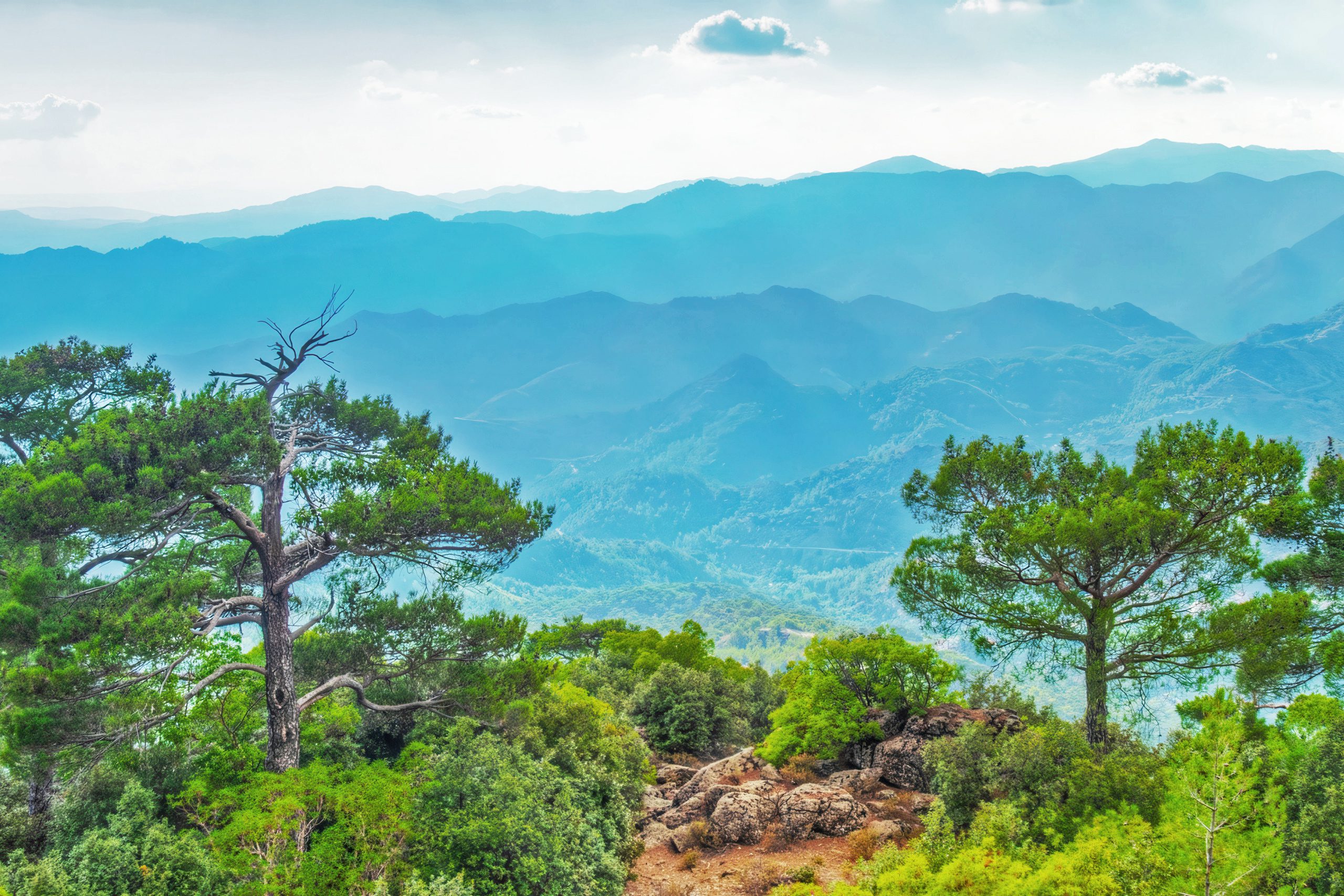
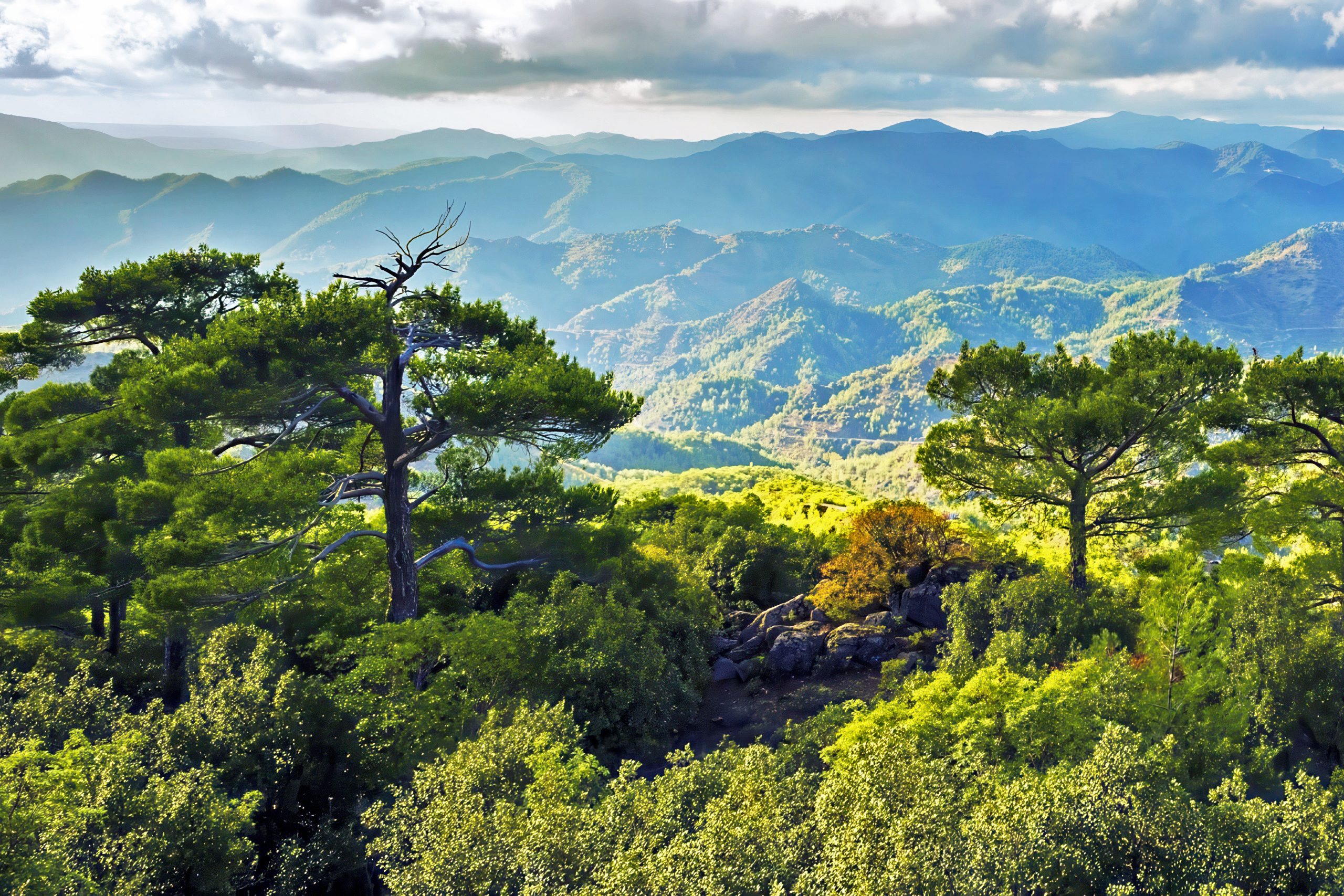
Troodos supports extraordinary biodiversity within a relatively compact area. Elevations range from 300 meters in foothill zones to nearly 2,000 meters at the summit, creating multiple climate zones stacked closely together. Each elevation band supports distinct plant communities shaped by temperature, moisture, and soil chemistry.

Lower slopes feature Turkish pine forests mixed with golden oak, a tree recognized by the golden underside of its leaves. These reflective surfaces reduce water loss and protect foliage from intense sunlight. At higher elevations, Anatolian black pine dominates cooler zones, while the endemic Cyprus cedar finds refuge on serpentine soils that exclude competing species. This cedar, one of the rarest conifers in Europe, survives only in isolated stands within Troodos.
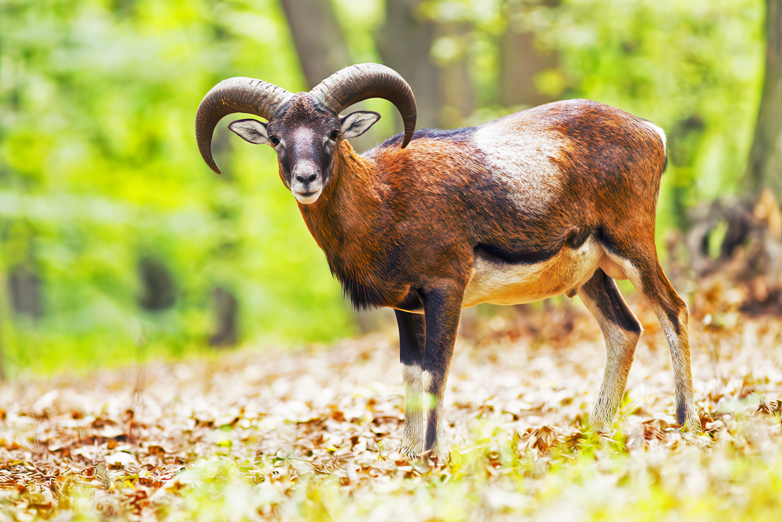
Animal life reflects the same pattern of specialization. The Cyprus mouflon, a wild sheep found nowhere else, symbolizes successful conservation in the mountains. Once reduced to fewer than 100 individuals by habitat loss and overhunting, protection efforts restored the population to more than 3,000 today. Adult males weigh around 35 kilograms and carry dramatic sickle-shaped horns extending up to two feet in length. They inhabit rugged forested terrain where steep slopes provide refuge from predators and human disturbance.
Troodos also supports endemic bird species that breed exclusively on the island. The Cyprus warbler and Cyprus wheatear rely on mountain habitats for nesting. Raptors patrol the skies, including the endangered Bonelli’s eagle and the critically endangered griffon vulture. Fewer than 30 griffon vultures remain on Cyprus, nesting in remote cliff areas where minimal disturbance allows survival.
The mountains host six butterfly species endemic to Cyprus, along with 14 bat species that use caves, forests, and abandoned mines for roosting. Three endemic mammal subspecies live here, alongside five endemic reptiles, including the Cyprus whip snake and the venomous Cyprus blunt-nosed viper. Together, these species form one of the richest biodiversity concentrations in the eastern Mediterranean.
Cyprus Water Source Under Pressure
Beyond biodiversity, the Troodos Mountains serve as Cyprus’s primary water source. Annual precipitation at higher elevations reaches 1,050 millimeters, more than double the island average of 463 millimeters. Winter snowfall and rainfall feed all major river systems flowing south toward coastal plains and reservoirs.
To manage water scarcity, Cyprus constructed more than 100 dams, primarily in steep Troodos valleys. The island now holds the highest number of dams per square kilometer in Europe. Despite this extensive infrastructure, water remains limited. Nearly 90 percent of annual precipitation evaporates before it can be captured or stored, highlighting the fragile balance between supply and demand.
Troodos regulates water far beyond surface runoff. Forests slow rainfall, allowing gradual infiltration that recharges aquifers and maintains springs supplying mountain villages year-round. Without these forests, rainfall would rush downhill, causing erosion, floods, and rapid loss of usable water.
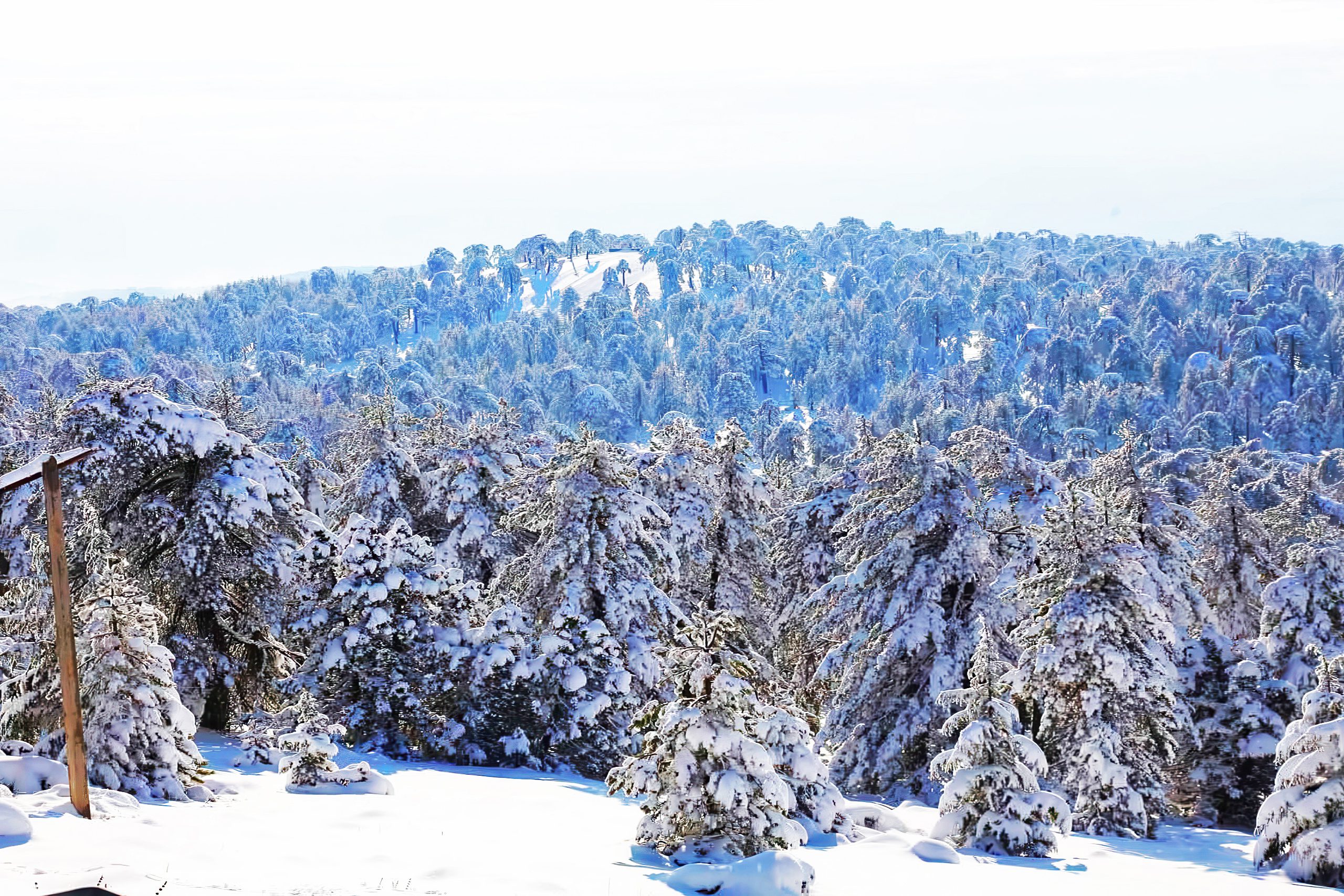
The mountains also regulate climate across the island. Acting as a physical barrier, Troodos creates rain shadow effects that influence precipitation patterns. Winter temperatures at the summit drop as low as minus 15 degrees Celsius, while summer averages remain near 22 degrees. This cooling effect moderates inland temperatures, offering relief from coastal summer heat that frequently exceeds 35 degrees.
Climate Change Threatens Unique Ecosystems
Climate change now threatens this delicate system. Research projects significant reductions in frost days, declining snow depth, and longer drought periods. Some projections suggest high-altitude zones could experience droughts lasting up to 20 months. These shifts endanger forests that evolved under stable climatic conditions over thousands of years.
Fire risk continues to rise as droughts intensify and vegetation dries. Wildfires not only destroy habitats but also reduce the land’s ability to retain moisture, accelerating erosion and water loss. Endemic species face particular danger because they cannot migrate to cooler regions or higher elevations once suitable habitat disappears.
Water management grows increasingly complex as precipitation patterns become unpredictable. Reduced vegetation cover further weakens natural water regulation, creating a feedback loop that intensifies scarcity across the island.
Protected Status and Scientific Importance
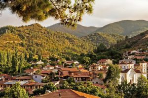
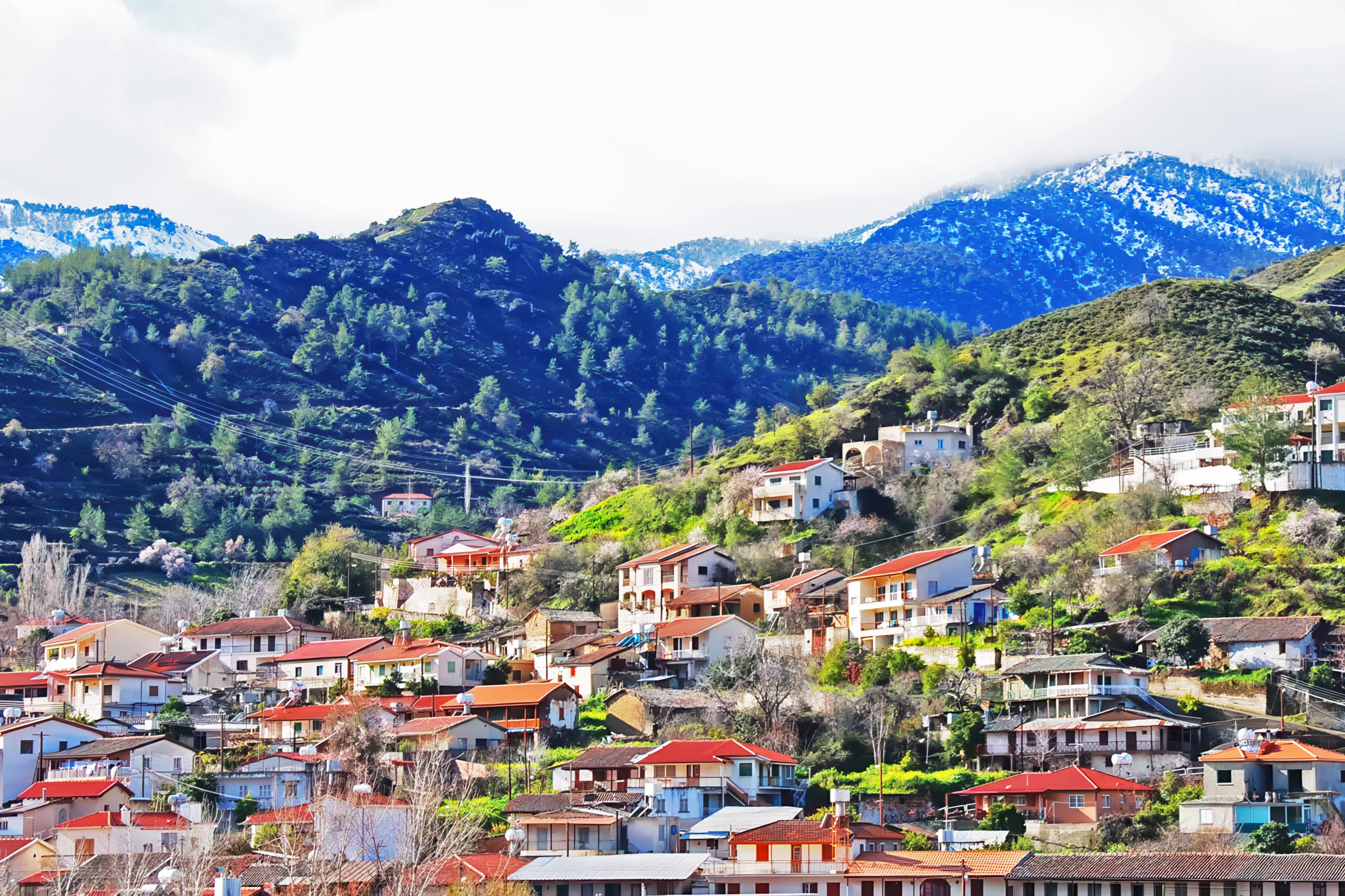
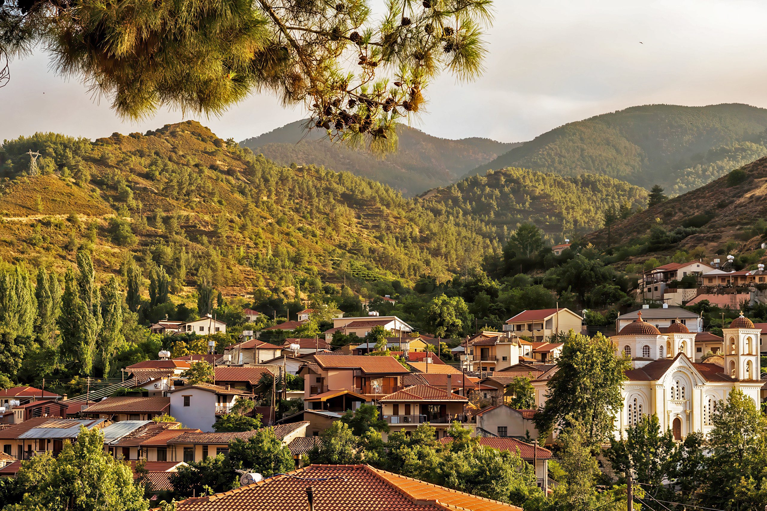
The exceptional geological and biological value of Troodos earned UNESCO Global Geopark status in 2015. The protected area covers 1,147 square kilometers and includes 110 communities with approximately 25,000 residents. Protection balances conservation with traditional mountain life, recognizing that human activity and nature coexist here.
The Troodos Geopark Visitor Centre operates from a restored school building near the former Amiantos asbestos mine. The center includes educational exhibits, a botanical garden, and a seed bank preserving rare plant genetics. Visitors can access 84 marked hiking trails that traverse geological formations, forests, and endemic plant habitats.
Troodos National Forest Park alone supports 786 plant taxa, representing 40 percent of Cyprus’s total flora. The park hosts 87 endangered plant species listed in the national Red Data Book. Scientific interest remains intense. Since the 1960s, researchers completed more than 120 doctoral dissertations and 60 master’s theses focused on Troodos geology. Findings from these studies influence global understanding of ocean crust formation and tectonic processes.
A Critical Biodiversity Hotspot
The Troodos Mountains form the ecological heart of Cyprus. They regulate climate, store water, and preserve species found nowhere else on Earth. Ancient oceanic rocks created conditions that drove evolution in isolation, producing one of Europe’s highest concentrations of endemic plants within a small geographic area.
As climate pressures intensify, this biodiversity hotspot faces an uncertain future. Species that evolved over millions of years under stable conditions cannot adapt quickly to rapid environmental change. What happens in Troodos will signal what lies ahead for Mediterranean mountain systems confronting similar challenges. Protecting this core landscape remains essential not only for Cyprus but for understanding how fragile ecosystems respond to a changing world.