Cyprus joined the Vienna Convention on Road Signs and Signals on August 16, 2016, bringing its signage in line with most European countries. However, the British influence remains visible throughout the system. Road signs closely resemble those used in the United Kingdom, a direct inheritance from colonial rule that ended in 1960.
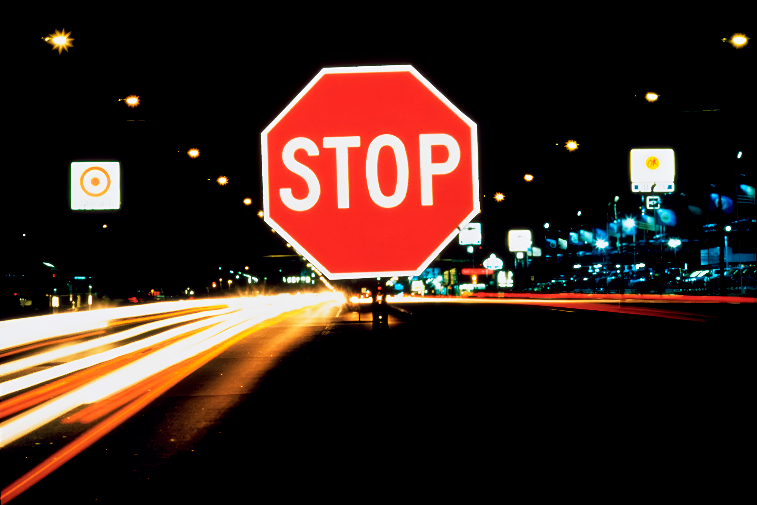
Warning signs take the familiar triangular shape with a red border and white background, matching most European conventions. This differs from Greece, where warning signs have yellow backgrounds instead of white. Regulatory signs follow the circular pattern, with red circles indicating prohibitions and blue circles showing mandatory actions. Information signs use rectangular shapes.
The system uses metric measurements rather than imperial units, distinguishing it from British practice. Speed limit signs display kilometers per hour, distance markers show kilometers, and weight restrictions appear in tonnes. This metric approach aligns Cyprus with continental European standards while maintaining the visual design language of British road signage.
The Challenge of Bilingual Signage
Cyprus faces a unique linguistic situation with its road signs. Most directional and informational signs display text in both Greek and English, using the Helvetica typeface for clarity. Greek text appears in capital letters using the Greek alphabet, while English text follows standard Latin script conventions.
This bilingual approach serves practical purposes for the island’s diverse population and substantial tourist traffic. International visitors can navigate without language barriers, while local residents access information in their native language. The dual language system appears on motorway signs, town direction indicators, and street name plates throughout the Republic of Cyprus.
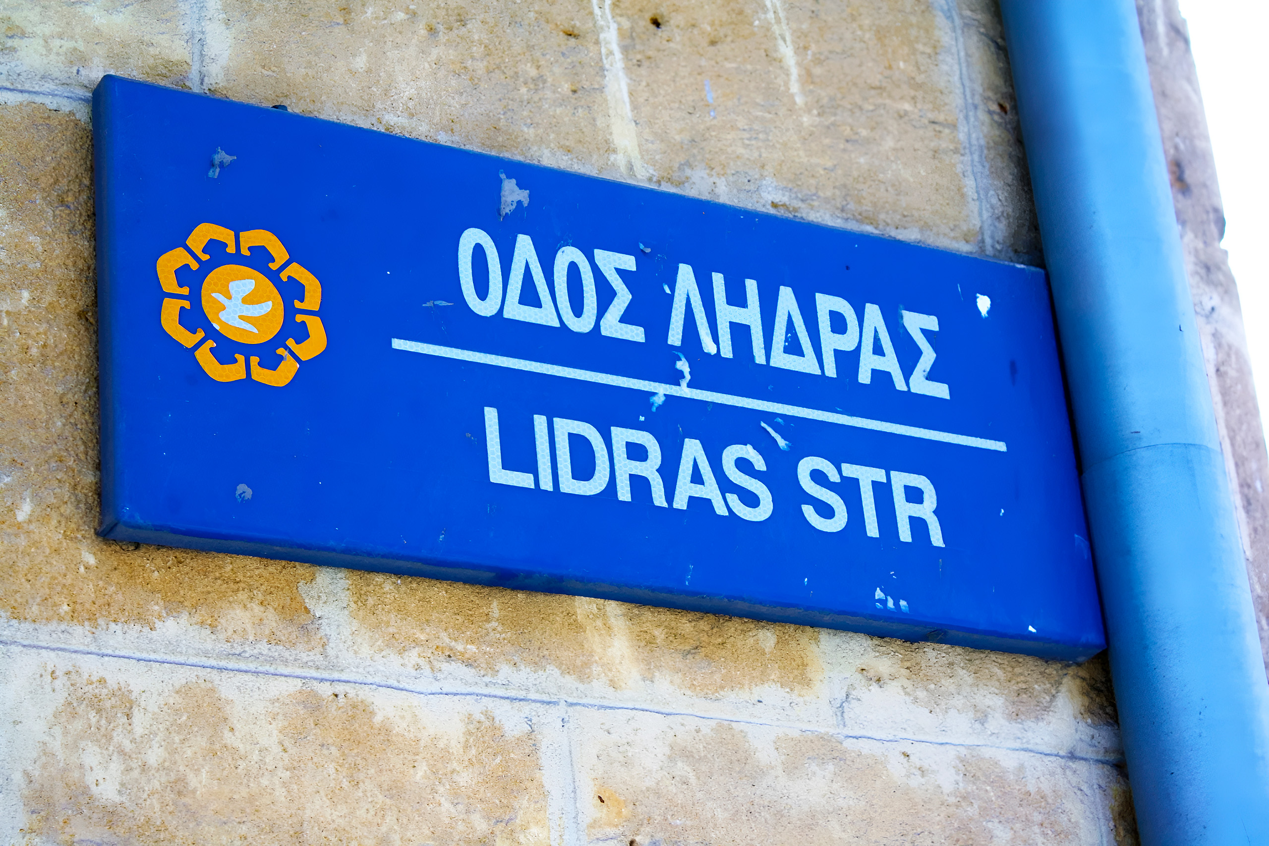
Street name signs follow a specific format. In the Republic, they display blue backgrounds with white text reading “ΟΔΟΣ XXXXX/YYYYYY STR” where the Greek name appears first, followed by the English translation. The Arial font makes these signs easily readable from a distance.
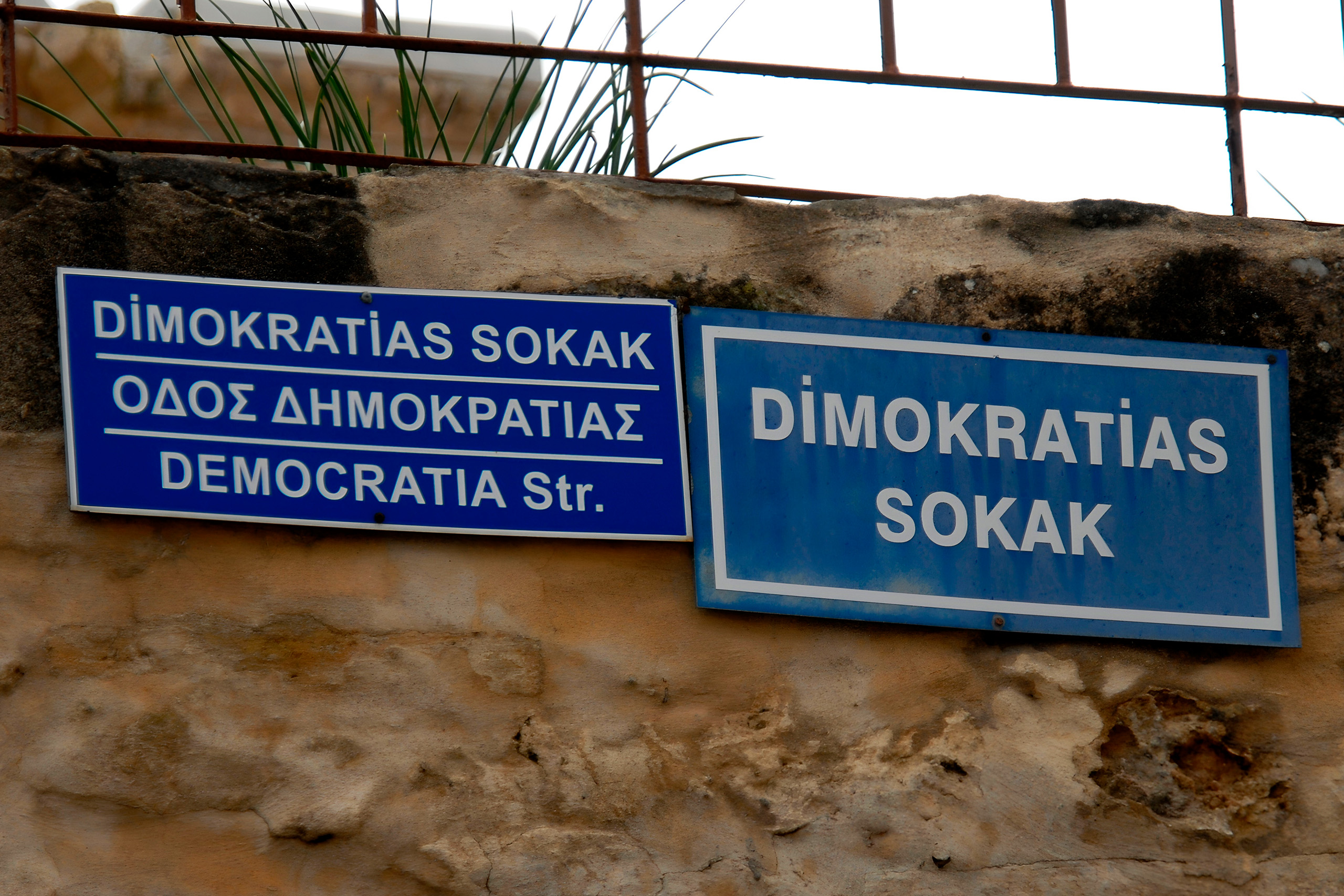
Near the Green Line dividing the island, signs become trilingual, adding Turkish to accommodate the bicommunal areas. These signs read “XXXXX SOKAK/ΟΔΟΣ YYYYY/ZZZZZZ Str” with Turkish, Greek, and English text. However, in the Turkish-occupied part of Cyprus, signs follow Turkish conventions with different design features and Turkish-only text in most areas.
Motorway and Highway Color Coding
Cyprus uses a green background for motorway signs, distinguishing it from countries like the United Kingdom that use blue. White text appears on these green backgrounds, with Greek text sometimes rendered in yellow for enhanced visibility. This color scheme follows the same standard used in Switzerland, Italy, and several other European nations.
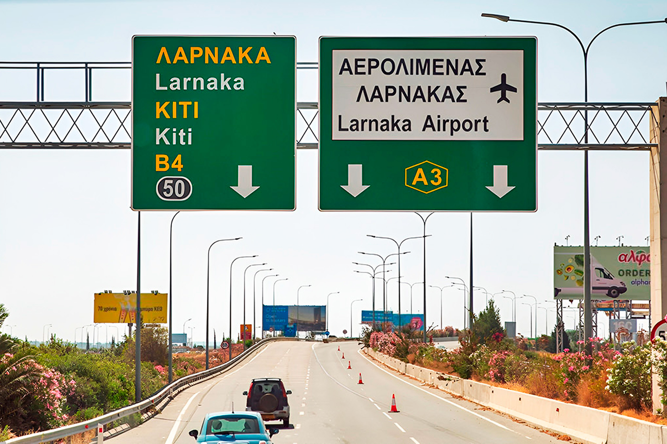
The green motorway signs display destination names, distances, and junction numbers. Exit signs provide advance warning at 300 meters, 200 meters, and at the exit itself. Junction numbers appear in small rectangles in the corner of directional signs, helping drivers communicate their location clearly.
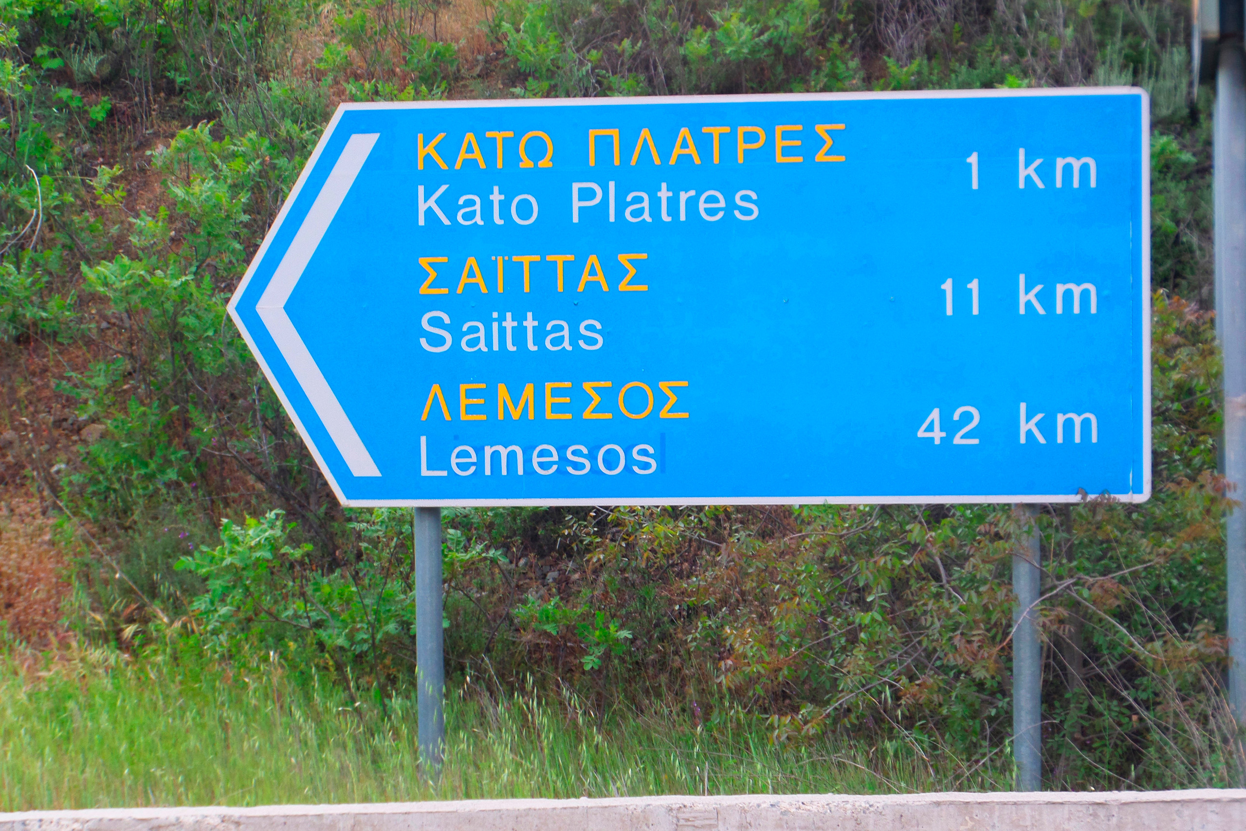
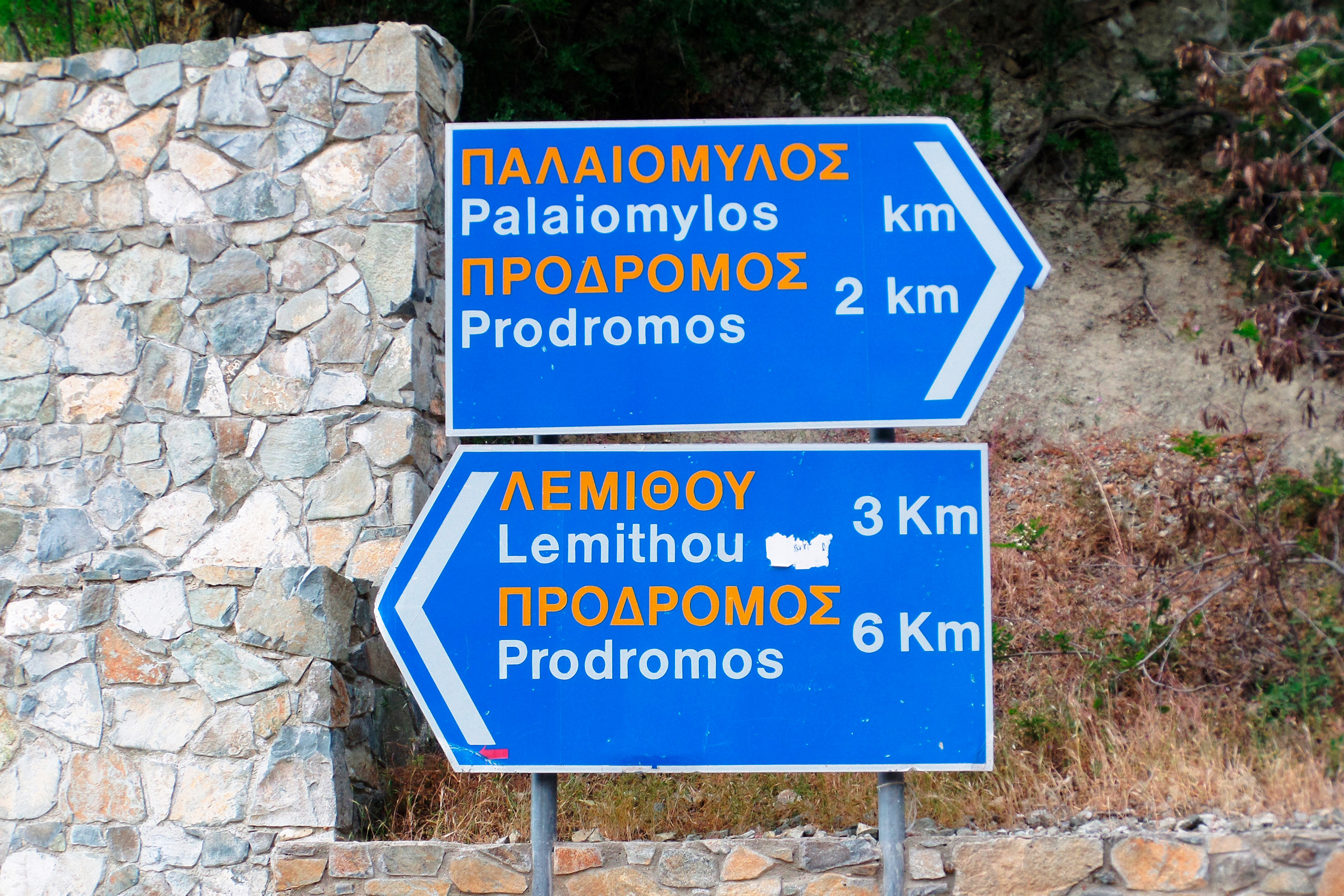
Non-motorway roads use different color schemes. Blue backgrounds typically indicate other major roads and services, while brown backgrounds mark tourist attractions and points of interest. Local road signs often use white backgrounds with black text, maintaining the British-influenced design approach.
Navigation Technology Takes Over
Modern GPS navigation apps have become essential tools for driving in Cyprus. Google Maps leads in popularity among both locals and tourists, offering comprehensive coverage of the entire island. The app provides turn-by-turn directions, real-time traffic updates, and works effectively with offline maps downloaded before travel.
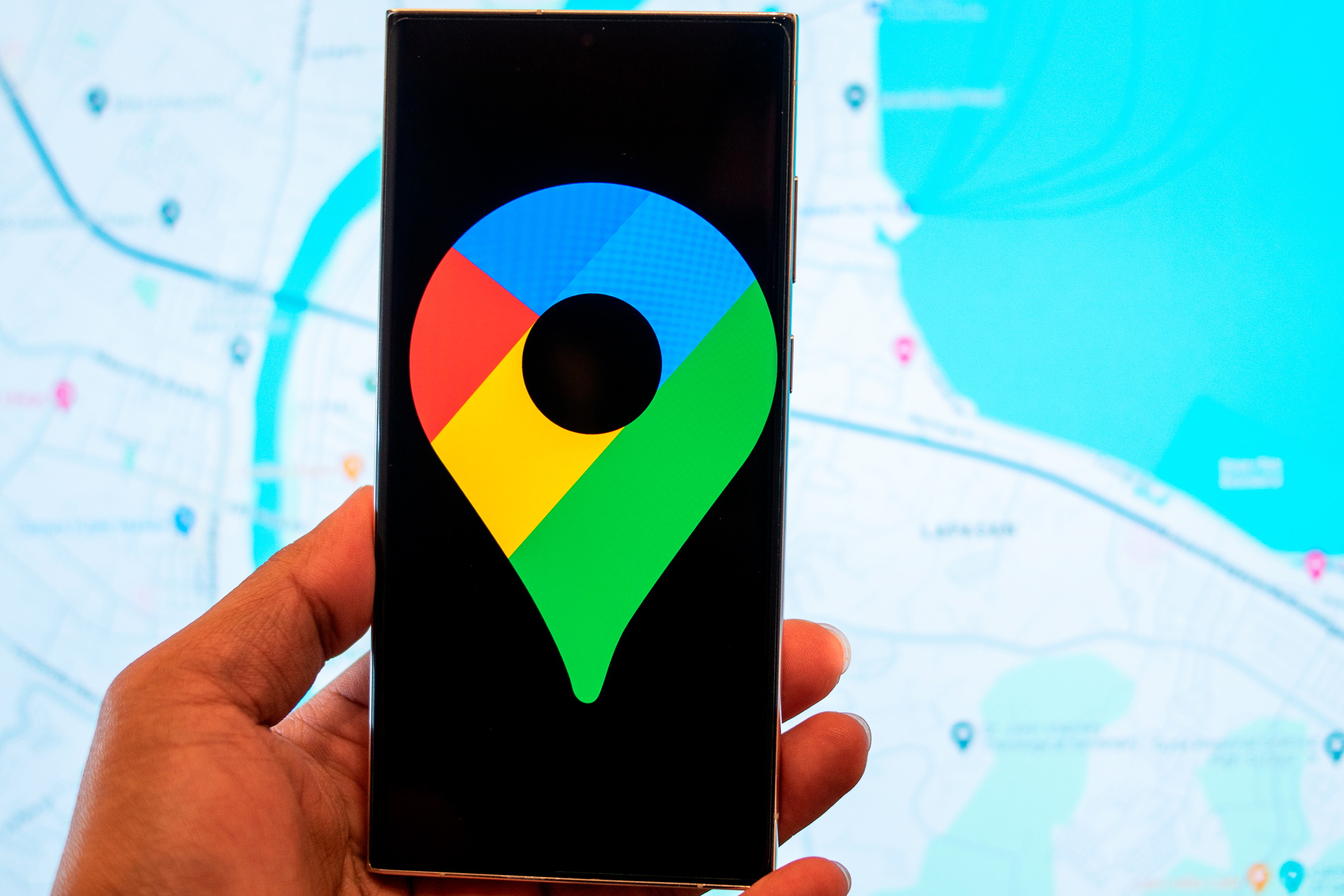
Waze Navigation ranks as the second most popular choice. This community-based app offers a distinct advantage in Cyprus, providing real-time warnings about traffic cameras, police presence, and road hazards. With over 500,000 contributors worldwide, Waze receives constant updates from local drivers who report conditions as they encounter them.

The popularity of Waze in Cyprus stems partly from the island’s extensive traffic camera network. Drivers use the app to receive advance warnings of camera locations, helping them maintain legal speeds and avoid fines. The app also alerts users to mobile speed traps, which authorities deploy regularly throughout the island.
A peculiar technical issue affects GPS systems in certain areas of Cyprus, particularly near Larnaca. Users occasionally find their location displayed as Beirut or other Middle Eastern cities. This phenomenon results from GPS spoofing systems used in the region for military purposes. The interference typically resolves itself quickly, and downloading offline maps helps minimize disruption.
Offline Maps and Data Considerations
Tourists often face expensive data roaming charges when using navigation apps abroad. Both Google Maps and Waze offer offline functionality, but with different levels of capability. Google Maps allows users to download entire regions for offline use, providing complete navigation without data connection.

The offline download process proves straightforward. Users select Cyprus from the available regions, download the map data while connected to WiFi, and then navigate without consuming mobile data. The offline maps include street names, points of interest, and basic routing capabilities.
Waze requires an active data connection to function at its full potential. While the app can provide basic navigation offline, it cannot deliver real-time traffic updates, camera warnings, or user-reported incidents without internet access. This limitation makes Waze less practical for visitors without international data plans.
Several Cyprus-specific navigation apps exist, though they attract fewer users than the major platforms. These local apps sometimes offer better coverage of remote mountain roads and villages, areas where major platforms may have less detailed mapping data.
Special Signage in Divided Cyprus
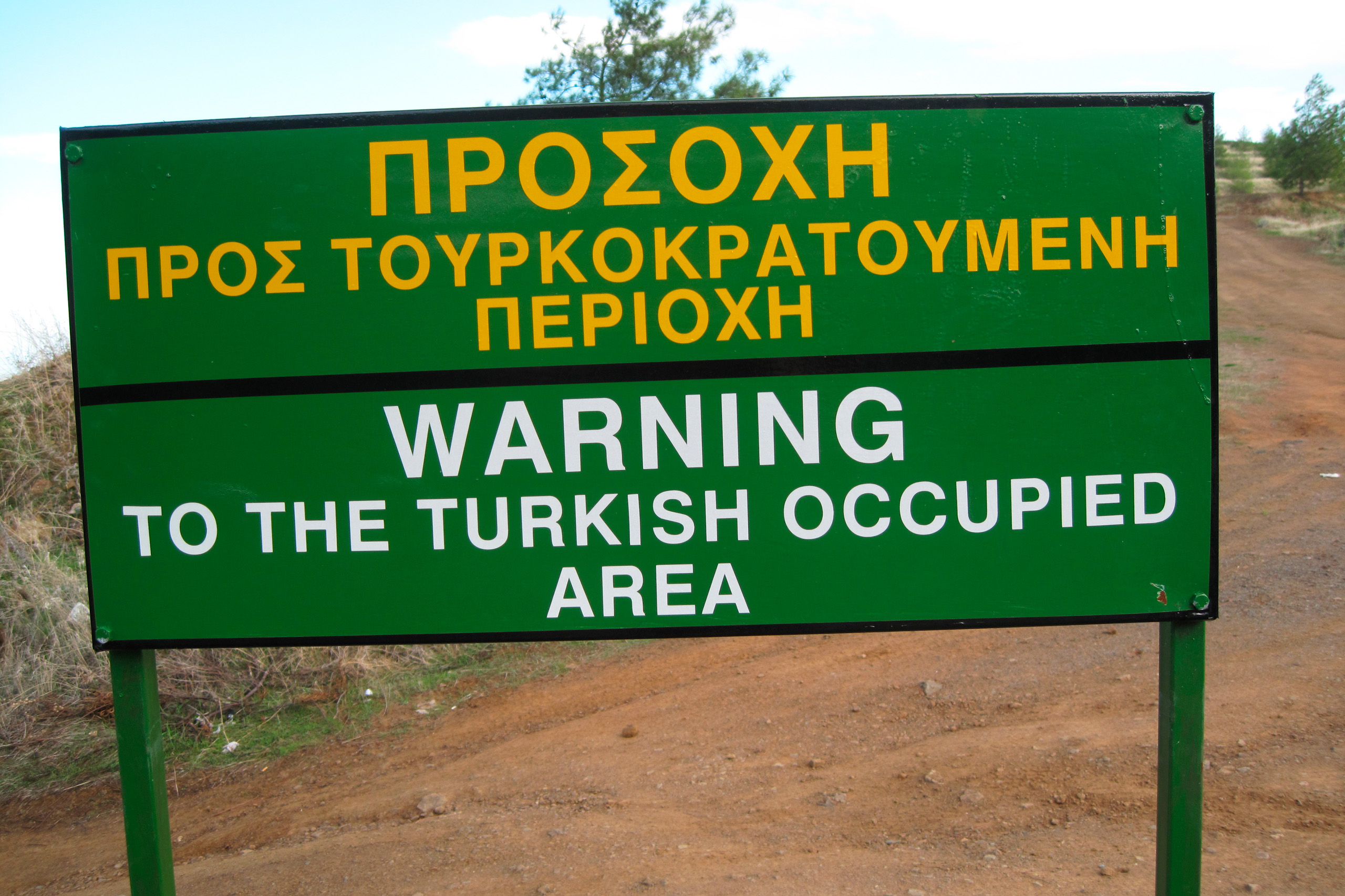
The island’s political division creates unique signage challenges. Signs near the Green Line include warnings about entering the Turkish-occupied areas, displayed in Greek, English, and Turkish. These signs read “Stop, Turkish occupied area” and mark the buffer zone patrolled by United Nations forces.
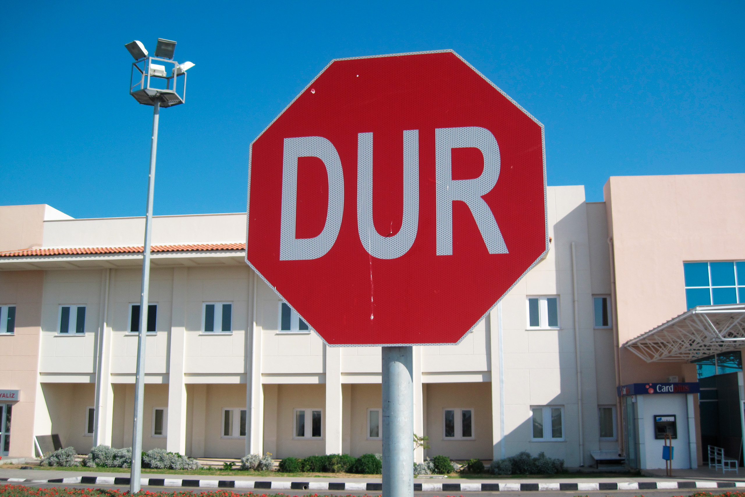
Crossing points between the Republic of Cyprus and the Turkish-occupied part of Cyprus feature distinct signage indicating the change in administrative control. The Turkish-occupied part of Cyprus uses different road sign designs following Turkish conventions. Stop signs may show “DUR” instead of “STOP,” and first aid signs display red crescents rather than red crosses.

Drivers crossing into the Turkish-occupied part of Cyprus encounter an immediate change in signage language and style. Yellow backgrounds replace white ones on warning signs, and all text appears exclusively in Turkish except near the buffer zone. This visual shift serves as a clear indicator of the crossing.
Rental car companies have varying policies about taking vehicles across the Green Line. Most require special insurance, and some prohibit crossing entirely. Navigation apps sometimes struggle with routes that cross the division, occasionally suggesting impossible paths that ignore the political reality.
Digital Speed Camera Warnings
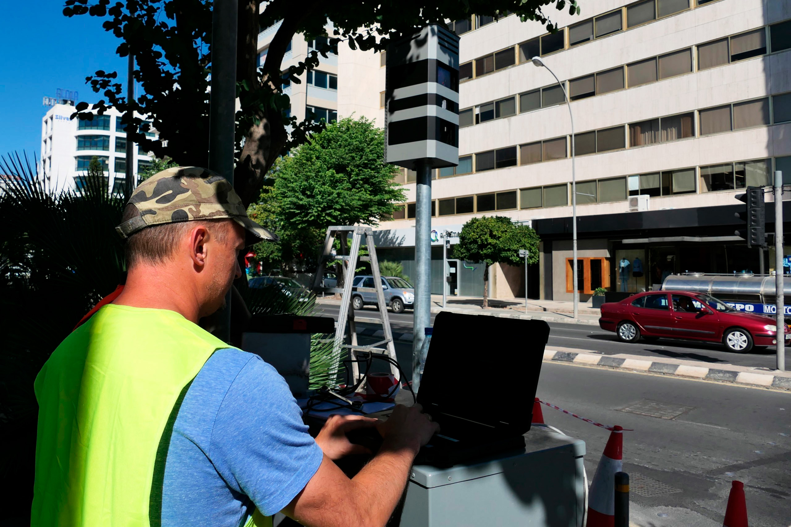
The relationship between navigation technology and traffic enforcement has become contentious in Cyprus. Authorities installed thousands of speed cameras across the island, generating substantial fine revenue. Many drivers consider the camera placement excessive, particularly on motorways where limits drop suddenly.
Waze integration with Google Maps in 2023 brought traffic camera data to both platforms. Google Maps now displays Waze-sourced camera locations, police presence, and road closure information. Users can confirm or update these reports, creating a real-time enforcement awareness system.
The apps provide advance warnings, typically alerting drivers 500 to 1,000 meters before reaching a camera. This gives ample time to check speed and adjust if necessary. The warnings include both fixed cameras and reported mobile units, though mobile camera data depends on recent user reports.
Police occasionally change mobile camera locations specifically to catch drivers relying on navigation apps. This cat-and-mouse dynamic continues, with app users reporting new camera positions within minutes of encountering them. The community-based nature of Waze makes it particularly effective for tracking these mobile units.
Road Sign Maintenance and Visibility
Sign quality varies significantly across Cyprus. Motorways and major urban routes maintain excellent signage with clear, reflective materials visible in all conditions. These signs use modern retroreflective films that shine brightly in vehicle headlights, ensuring night-time visibility.
Rural and mountain areas present more challenges. Some signs show weather damage, fading text, or missing reflective coating. Remote villages may have outdated signs with worn-away letters, making navigation difficult without GPS backup. The government’s road improvement budget includes sign replacement, but rural areas often wait longer for updates.
Directional signs on motorways use consistent formatting with clear distance information. Advance signs appear at 1,000 meters, 500 meters, and 300 meters before major junctions. This three-tier warning system gives drivers ample time to position themselves in the correct lane.
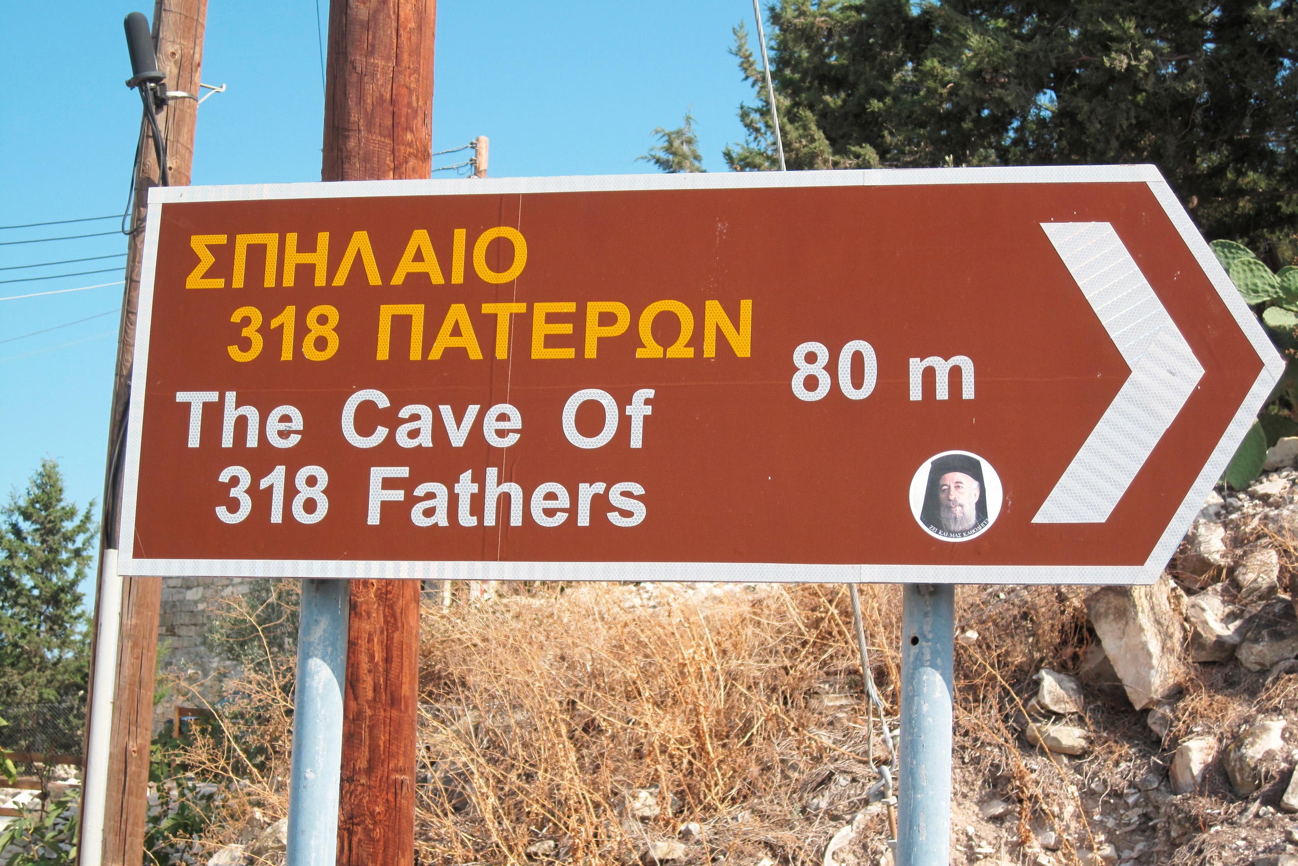
Tourist attractions receive brown directional signs with pictograms indicating the type of destination. Ancient ruins, beaches, and natural parks all have dedicated signage. However, some tourist signs point to attractions that no longer exist or have changed names, creating occasional confusion.
The Future of Navigation in Cyprus
Digital signage and smart road infrastructure remain limited in Cyprus compared to some European countries. Variable message signs appear on major motorways, displaying traffic warnings, weather conditions, and travel time estimates. These electronic signs adapt to current conditions, providing information that static signs cannot.
The government has discussed implementing more advanced traffic management systems, including dynamic speed limits that adjust based on conditions. Such systems would require integration between physical signage and digital platforms, ensuring that navigation apps receive real-time updates about changing limits.

Autonomous vehicle technology will eventually require Cyprus to upgrade its road marking and signage infrastructure. Clear, standardized signs help self-driving systems interpret road rules correctly. The current mix of British and European standards may need harmonization as automated vehicles become more common.