Explore Cyprus with Our Interactive Map

Explore our top stories and discover ideas worth your time.

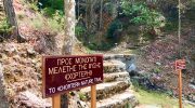
Chorteri Natural Trail

Chorteri Natural Trail

The Chorteri Nature Trail stands as a vital asset within the Troodos National Forest Park. This path offers a direct route through some of the most scenic parts of the mountain range. Travelers often visit this site to observe the transition between different forest zones. The air remains crisp and carries the scent of local pine needles. Elevation plays a key role in the unique environment found here. Most of the track sits at a high altitude, which provides cool relief from the coastal heat. Rare plants find a home in the rocky crevices along the way. The silence of the woods provides a stark contrast to the busy cities below. It is a place for quiet observation and steady movement. Scientific study of the area reveals a rich geological history. The soil consists of minerals that support dense growth of endemic shrubs and trees. Every turn on the route presents a chance to see the natural world in its raw state. This trail is a significant destination for those who value the ecological diversity of Cyprus. It remains a stable and well-kept path for all. Trail Overview Location: Troodos National Forest Park near Platania Distance: 3.1 miles (5 km) Route Type: Loop Difficulty: Moderate to Hard Elevation Gain: 950 feet (290 meters) Duration: 2 to 3 hours Best Time…

Read more
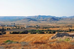
Mesaoria Alluvial Plains Cyprus

Mesaoria Alluvial Plains Cyprus

Between the Troodos Mountains in the south and the Kyrenia Range in the north lies a broad plain that has been the agricultural heart of Cyprus for thousands of years. The Mesaoria wasn't always dry land. About one million years ago, this central area was still underwater, an ancient bay that slowly filled with sediments washed down from the surrounding mountains. Today, those sediments form the fertile soils that feed the island, delivered by rivers that flow only in winter and disappear completely by summer. The Mesaoria is a flat plain that extends across central Cyprus from Morphou Bay in the west to Famagusta Bay in the east. The name comes from Greek and means "between the mountains," which perfectly describes its position sandwiched between the Troodos and Kyrenia ranges. The plain measures 96 kilometers long and varies between 16 to 32 kilometers wide, covering roughly 1,000 square kilometers of land. The average elevation across the Mesaoria sits around 100 meters above sea level, though some areas near Nicosia rise to 325 meters. Unlike the mountainous regions that surround it, the Mesaoria is mostly flat with gentle slopes. This flatness makes it ideal for agriculture but also creates drainage problems when the seasonal rivers flood. Historical Background About 25 million years ago during the Lower Miocene era, the Troodos mountains…

Read more

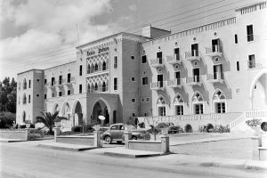
Ancient Ledra Early History of Nicosia

Ancient Ledra Early History of Nicosia

Ancient Ledra was a city-kingdom in the center of Cyprus where modern Nicosia stands today. It was established around 1050 BC and it became one of ten Cypriot kingdoms by the 7th century BC. Unlike coastal kingdoms that thrived on maritime trade, Ledra developed as an agricultural settlement in the fertile Mesaoria Plain. By Hellenistic times, it had dwindled to a small village before transforming into the capital city that continues to this day. Archaeological remains from ancient Ledra have been found in several areas around modern Nicosia. The Bronze Age settlement was located on Leontari hill, approximately 6.5 kilometers southeast of the historical city center. This platform measures about 200 by 300 meters and includes a small cemetery. Historical Background The kingdom of Ledra appears for the first time in historical records on a clay prism of the Assyrian king Esarhaddon, dated to 672 BC. The inscription refers to the settlement as "Lidir" and records its ruler as "Unasagusu," generally identified as Onasagoras, the only king of Ledra whose name we know. He is listed ninth among ten Cypriot kingdoms that paid tribute to Esarhaddon. The Assyrian text identifies Ledra as a "mat," meaning country or land, rather than a "kur," which denotes a city. This suggests that Ledra lacked a significant urban center and functioned more as a…

Read more