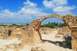
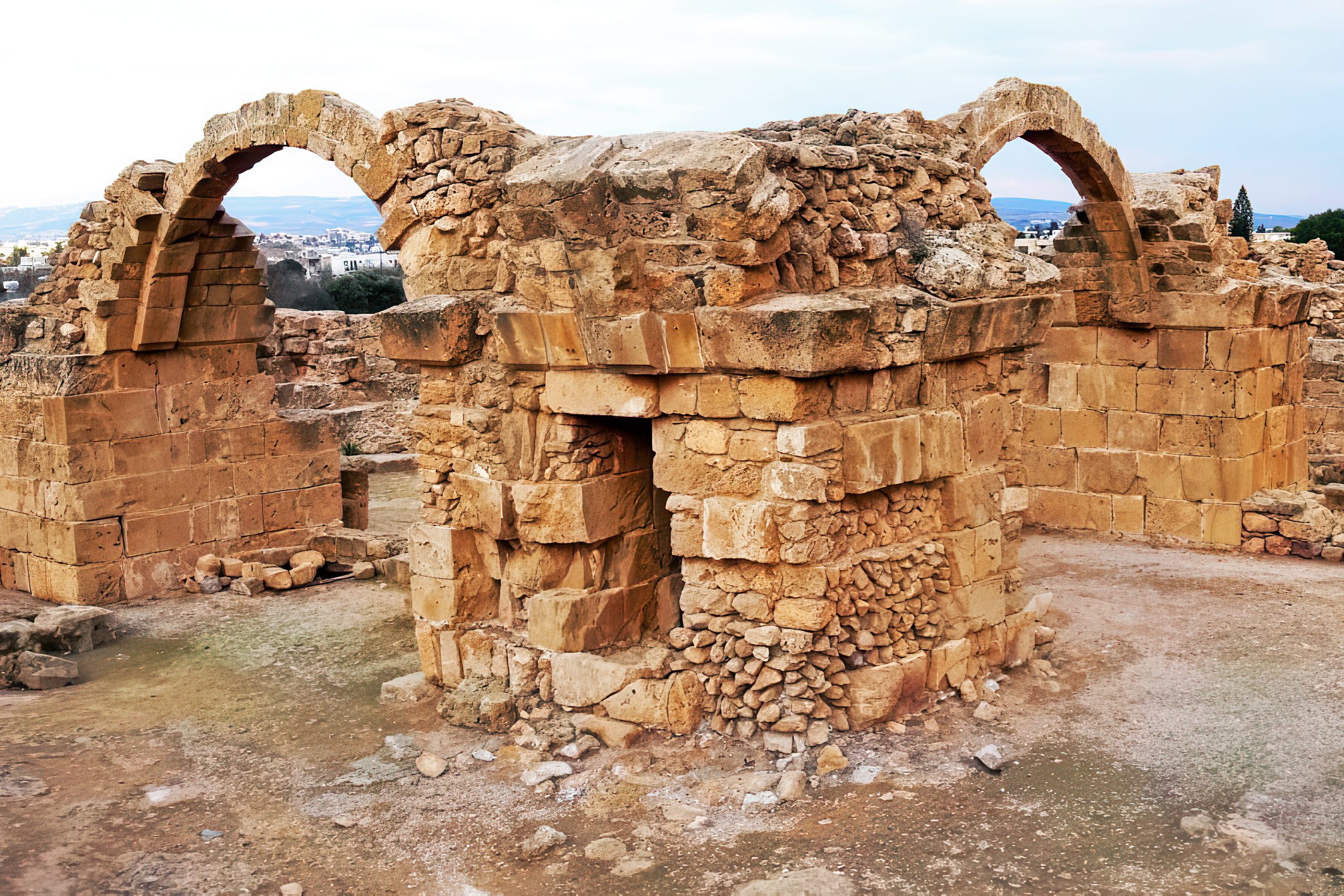
Inside the Paphos Archaeological Park, just north of the old harbor, a pile of broken stones and toppled columns marks where one of Cyprus’s most important medieval fortresses once stood. Saranta Kolones, which translates to Forty Columns, served as the main defensive stronghold protecting Paphos during a turbulent period when Arab raids threatened the island. Today, visitors walk among its ruins and discover a fortress that endured multiple rebuilds, witnessed crucial historical events, and met a violent end in one of the worst earthquakes ever to strike Cyprus.
Historical Background
The fortress was built at the end of the 7th century AD under Byzantine rule. Historical records indicate that Theodore, the brother of Emperor Heraclius I, supervised its construction. At that time, the Arab Caliphate had emerged as a powerful force in the Middle East, and Cyprus found itself in the path of expansion. Arab forces launched raids on the island, making coastal cities particularly vulnerable. Paphos, with its strategic harbor and position on shipping routes, needed strong defenses.
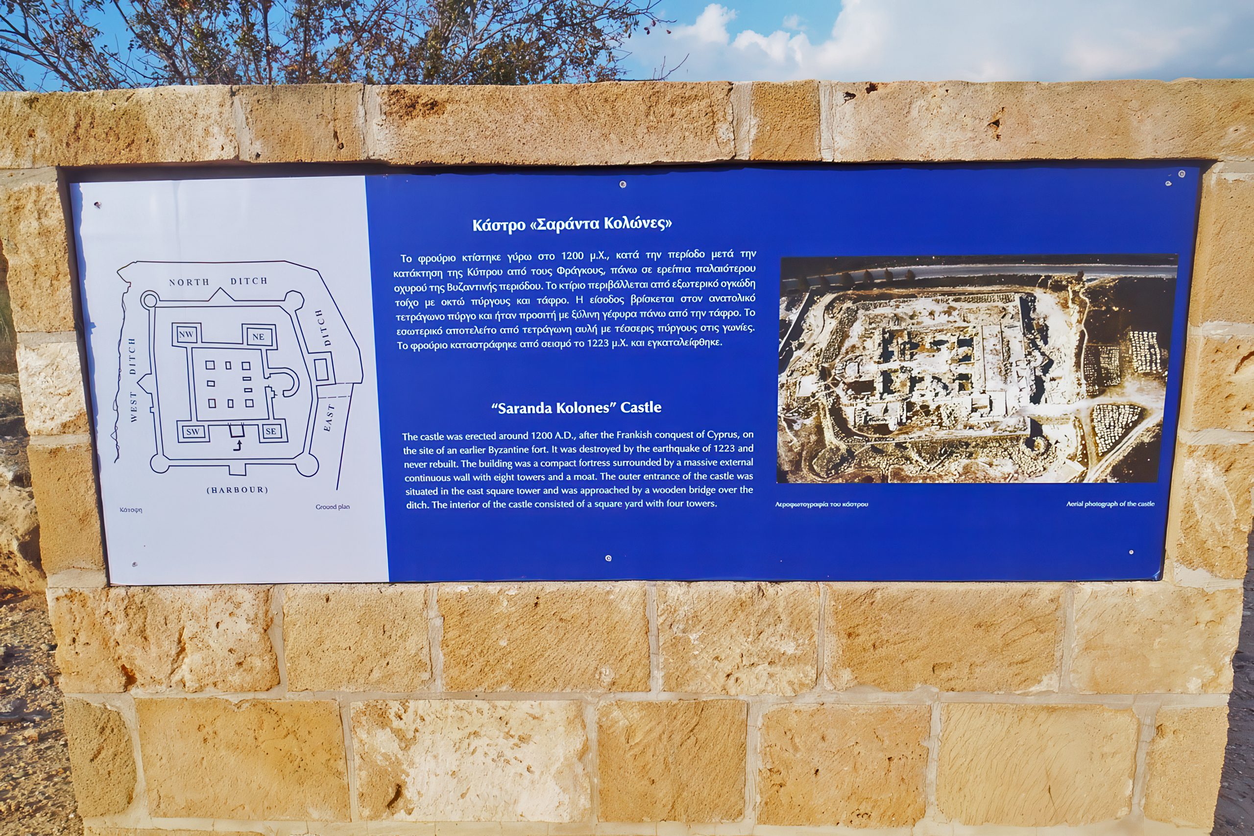
The Byzantine builders created a formidable structure. The fortress featured walls three meters thick, substantial enough to resist siege weapons of that era. Four massive corner towers anchored the defenses, with four additional intermediate towers positioned along the connecting walls. A moat surrounded the entire complex, and access was only possible via a wooden bridge that could be destroyed if enemies approached. The central courtyard measured 35 meters on each side, forming a perfect square. A fifth tower, shaped like a horseshoe, housed the main entrance on the eastern side.
Despite these strong defenses, the fortress fell during the second Arab invasion of Cyprus in 653-654 AD. The Arab forces captured and destroyed it. Within a few years, the Byzantines rebuilt the fortress, but in 688 AD, an agreement between the Arabs and Byzantines led to its demilitarization. The fortress stood but could no longer serve its military purpose. This arrangement lasted until 965 AD, when the Byzantines restored the fortress completely and returned it to active service.
The Earthquake That Changed Paphos
On the morning of May 11, 1222, at approximately 6:15 AM, a massive earthquake struck southwestern Cyprus. Modern estimates place its magnitude between 7.0 and 7.5 on the moment magnitude scale, with intensity reaching IX on the Modified Mercalli scale. This makes it the largest known earthquake in Cyprus during recorded history. The epicenter was located about 3 kilometers west of Paphos, offshore along the Cyprean Arc at a shallow depth of 10 to 20 kilometers.
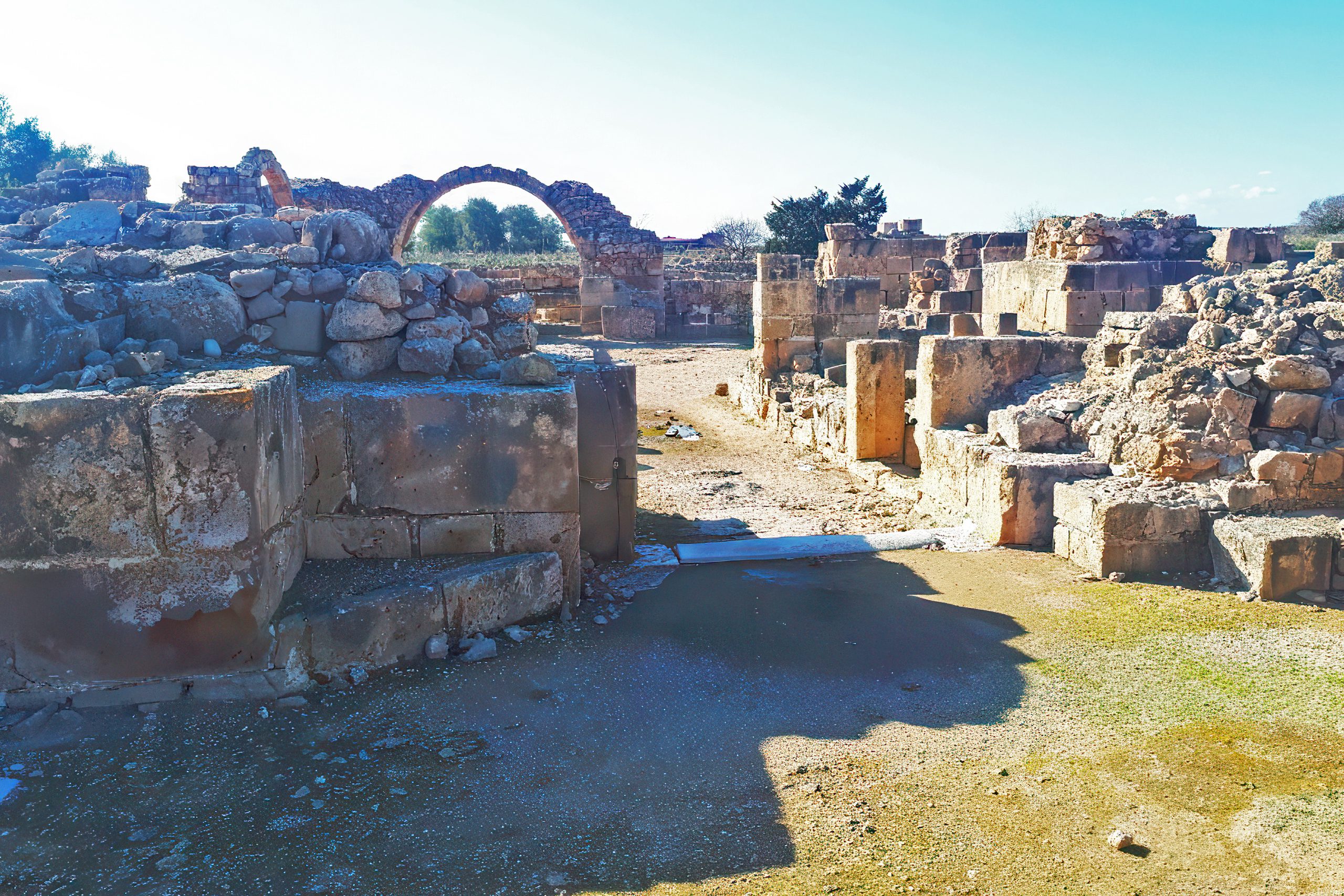
Paphos suffered catastrophic damage. The city walls and major structures were completely destroyed. Saranta Kolones, which had been rebuilt and strengthened just 20 years earlier, was reduced to ruins. The nearby Paphos Castle, another Byzantine fort, also collapsed. Modern excavations at Paphos Castle discovered the remains of a man who apparently climbed into the main drain trying to escape the earthquake, only to be trapped by falling masonry. This grim finding shows the desperation people felt as the buildings came down around them.
The earthquake triggered a tsunami that affected areas far beyond Cyprus. Historical records note that the sea retreated from Paphos harbor before returning to flood the town. The wave was strong enough to be recorded in Libya and Alexandria. In Paphos itself, a church collapsed during services, burying a bishop and his entire congregation. The Franciscan monks abandoned their church in Paphos after the disaster and never returned.
Damage extended across the island. Limassol experienced near-total destruction of its harbor facilities, aqueducts, and churches. Nicosia suffered widespread but less catastrophic damage, with churches partially collapsing and ground fissures opening. Landslides were reported in the mountainous areas. The earthquake disrupted life across Cyprus for months, and some towns took years to recover.
Why the Fortress Was Never Rebuilt
After the 1222 earthquake, the Lusignans made a strategic decision. They chose not to rebuild Saranta Kolones. Instead, they constructed a new fortification on the western side of the harbor, closer to the docks. This new castle, now known simply as Paphos Castle, still stands today and remains one of the landmarks of modern Paphos.
Several factors influenced this decision. The new location offered better protection for the harbor entrance. The cost of clearing and rebuilding Saranta Kolones would have been enormous. The Lusignans also shifted their focus inland, moving the capital from coastal Paphos to Nicosia, which was easier to defend against naval attacks. Famagusta on the eastern coast grew into the primary port for trade, reducing the strategic importance of Paphos.
Saranta Kolones remained abandoned from 1222 onward. Over the centuries, local builders salvaged stones and materials for other construction projects. The granite columns, which had already been recycled once from the ancient agora, found new uses in various buildings around Paphos. The ruins gradually became overgrown and were partially buried under accumulated soil and vegetation.
What Visitors See Today
Saranta Kolones is located within the Paphos Archaeological Park, which was designated a UNESCO World Heritage Site in 1980. The fortress ruins sit among extensive Roman remains, including famous mosaic floors in the Houses of Dionysus, Theseus, and Aion. This proximity creates an unusual historical layering where classical, Byzantine, and medieval periods exist side by side.
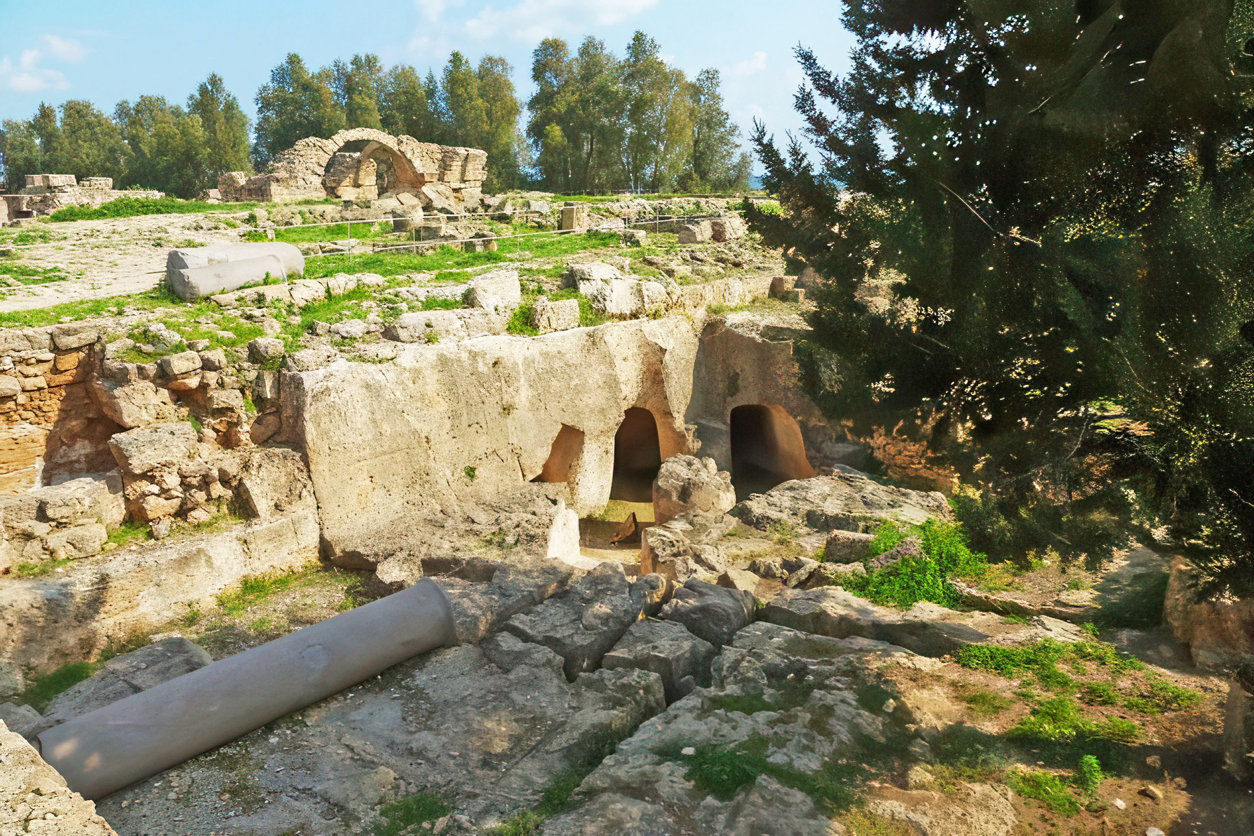
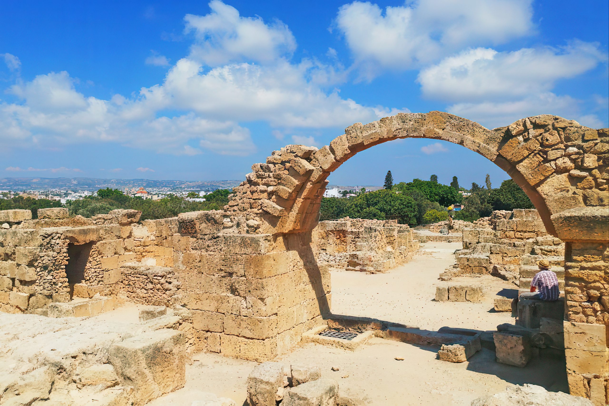
The most impressive surviving features are several stone arches that remain standing despite the earthquake and centuries of exposure. These arches demonstrate the skill of medieval builders. Granite is an extremely hard material to work with, yet the craftsmen achieved perfectly circular columns with smooth surfaces. The fact that these structures have endured shows the quality of construction.
The Legacy of Saranta Kolones
While the fortress served an active military purpose for only about 500 years, its historical significance extends far beyond that period. Saranta Kolones represents a crucial transition point in Cypriot history. It witnessed the end of Byzantine control, the brief conquest by Richard the Lionheart, and the establishment of the Lusignan Kingdom. Each of these events shaped the island for centuries to come.
The fortress also exemplifies medieval recycling practices. The Roman columns from the ancient agora, already several centuries old when incorporated into the Byzantine fortress, served a completely new purpose in a Christian defensive structure. This practical reuse of earlier materials was common throughout the medieval Mediterranean, but Saranta Kolones provides one of the best-preserved examples.
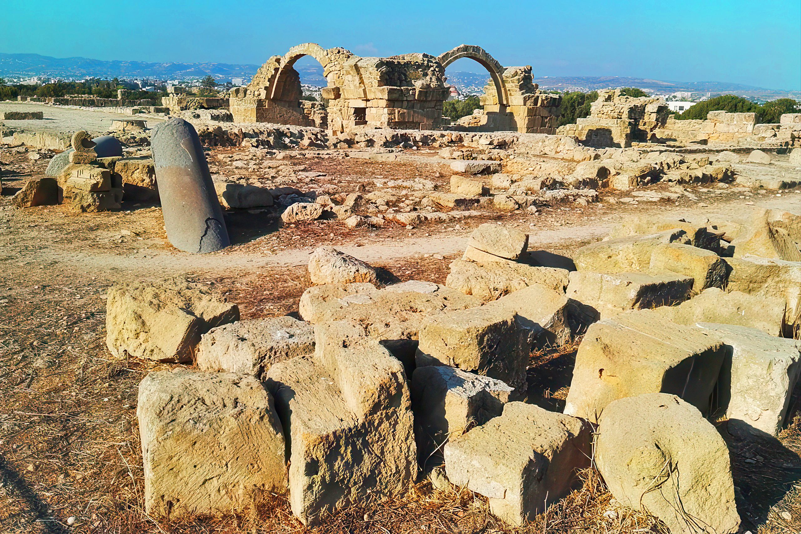
For historians studying the 1222 earthquake, Saranta Kolones serves as crucial evidence. The fortress ruins help seismologists understand the power and effects of that catastrophic event. By examining which structures collapsed and which survived, scientists can better assess earthquake risks in the region today. The Cyprus Arc remains tectonically active, and modern Paphos faces similar geological threats to those that destroyed the medieval fortress.
Today, Saranta Kolones stands as one of the quieter attractions within the busy Archaeological Park. Most visitors focus on the spectacular Roman mosaics and the ancient theater. Yet those who take time to explore the fortress ruins encounter a different side of Cypriot history. The broken stones and fallen columns tell a story of defense, conquest, natural disaster, and ultimate abandonment. They remind us that even the strongest fortresses eventually fall, and that change is the only constant in history.