The Artemis Trail circles the highest peak in Cyprus at nearly 2,000 meters above sea level, where black pine forests meet panoramic mountain views. This 7-kilometer loop takes hikers around Mount Olympus through one of the island’s most distinctive natural environments. The trail offers an accessible mountain experience that combines ancient forests, geological curiosities, and views that stretch from the Troodos peaks to the distant Mediterranean coast.
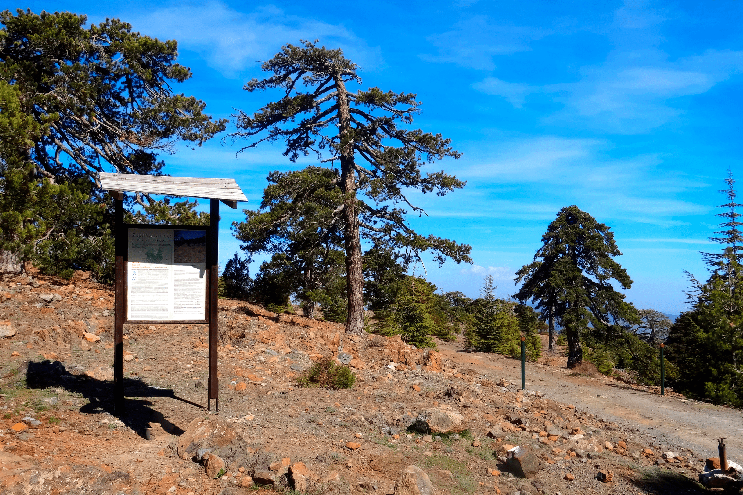
The trail is a circular route that takes between 2.5 to 3 hours to complete, with minimal elevation change throughout the walk. Despite its high altitude location, the path remains relatively flat, making it accessible to hikers of various fitness levels. The trail forms part of the Troodos National Forest Park and sits within a protected NATURA 2000 area.
Historical Background
The trail takes its name from Artemis, the ancient Greek goddess of wilderness and wild animals. In Greek mythology, Artemis was the daughter of Zeus and Leto, and the twin sister of Apollo. She was known as a fierce protector of forests, mountains, and untamed nature. The connection between the goddess and this mountain trail reflects both the wild character of the location and its role as a protected natural environment.
Along the route, hikers encounter ruins of makeshift fortifications known as ‘Teishia tis Palaias Choras’. These stone remnants date back to 1571 AD, when Venetian generals attempted to establish a defensive position against advancing Ottoman forces. The fortifications were built during the final year of Venetian rule in Cyprus, though resistance ultimately failed when the capital Nicosia fell to Ottoman control.
What Makes This Trail Stand Out
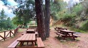
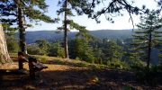
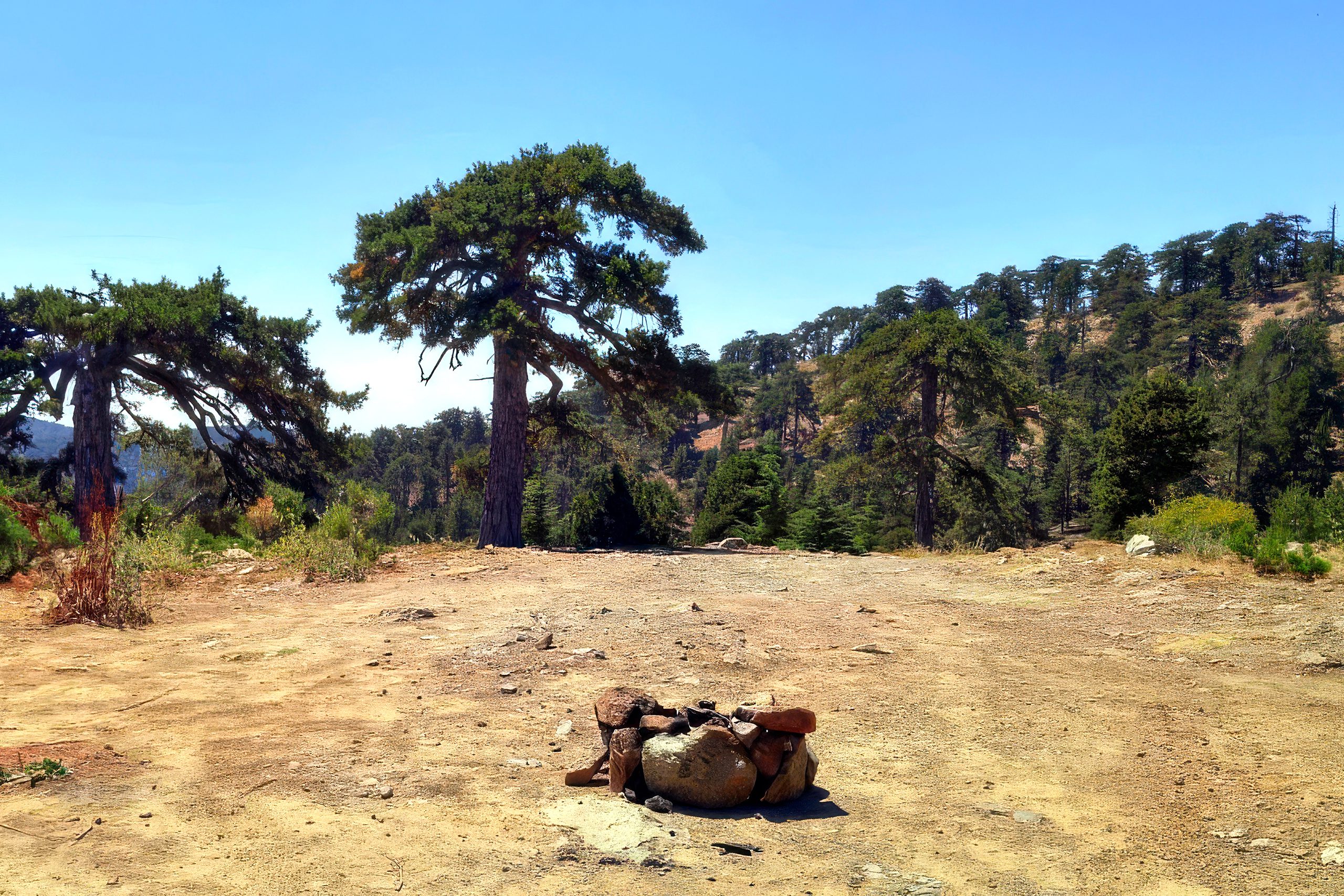
The defining feature of the Artemis Trail is its passage through dense black pine forest. These trees, scientifically named Pinus nigra subspecies pallasiana, dominate the landscape and create a distinctive mountain atmosphere. The trail includes two particularly notable specimens that are approximately 500 years old. The black pines provide shade for much of the route, though sections open up to reveal expansive views of surrounding valleys and distant coastline.
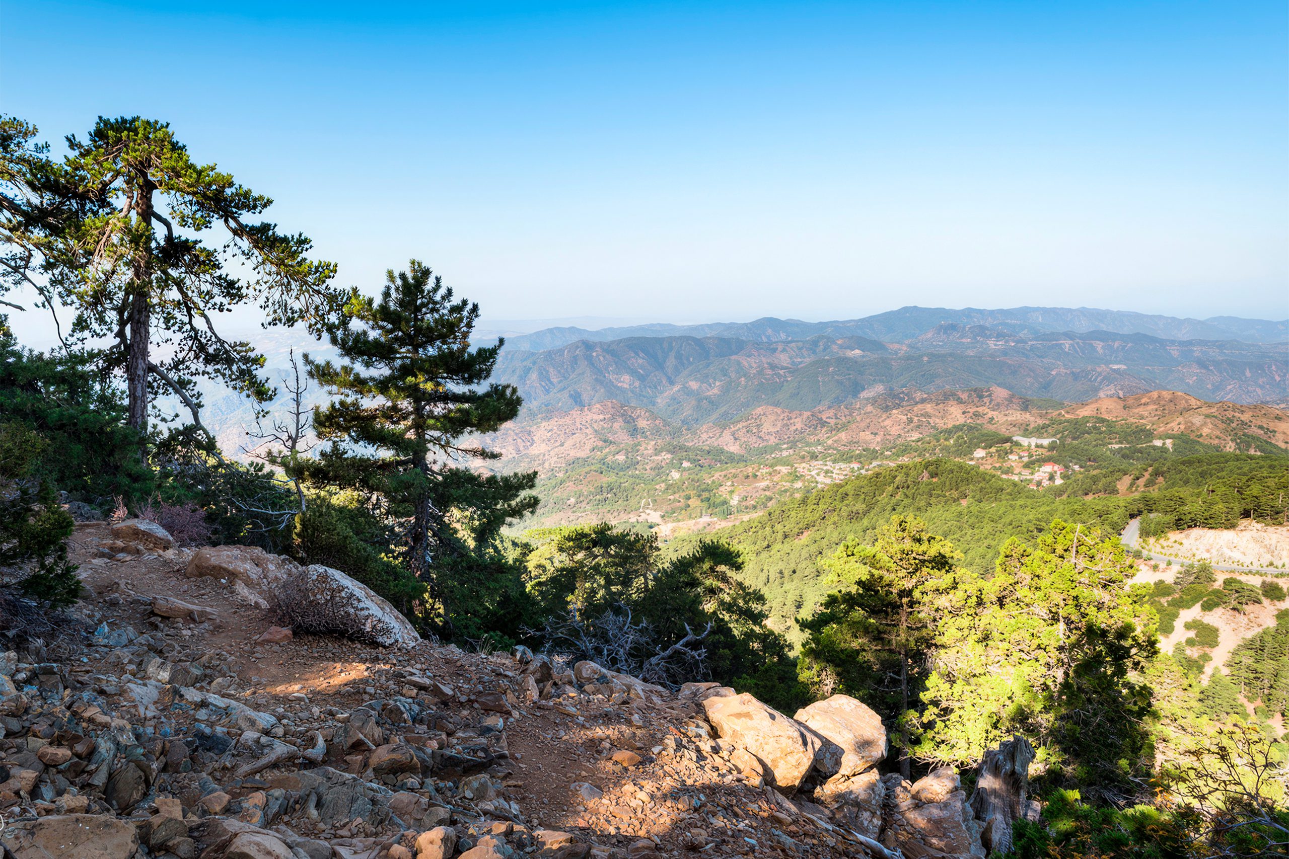
The geological formations along the trail reflect the unique origin of the Troodos Mountains. Mount Olympus formed from oceanic crust pushed up from the seafloor millions of years ago. Hikers walk past rocks like dunite, harzburgite, and pyroxenite, which typically sit deep beneath the ocean. These unusual rock types create an environment where marine geology meets mountain vegetation.
The trail maintains clear markers throughout its length, with signs every kilometer and distinctive green and white symbols at junctions. The path surface varies from soft pine needles to rocky sections, particularly on western slopes. Some sections narrow considerably and pass close to drops, though the overall route remains manageable for hikers with reasonable caution.
Unexpected Features at High Altitude
The trail passes directly through the Cyprus Ski Club facilities, where ski lifts stand inactive during warmer months. Cyprus maintains a small ski resort on Mount Olympus that operates from January to March when snow conditions permit. The presence of ski infrastructure at this Mediterranean location surprises many visitors who associate the island primarily with beaches and warm weather. The ski season offers four main slopes with varying difficulty levels.
The Cyprus Ski Club has operated since 1947, originally founded by a mix of Cypriot and British nationals when Cyprus was under British administration. Early ski enthusiasts reportedly walked through snow to reach the slopes before roads were properly cleared. The first ski lift was powered by a Ford diesel engine that pulled skiers up via a continuous sisal rope.
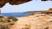
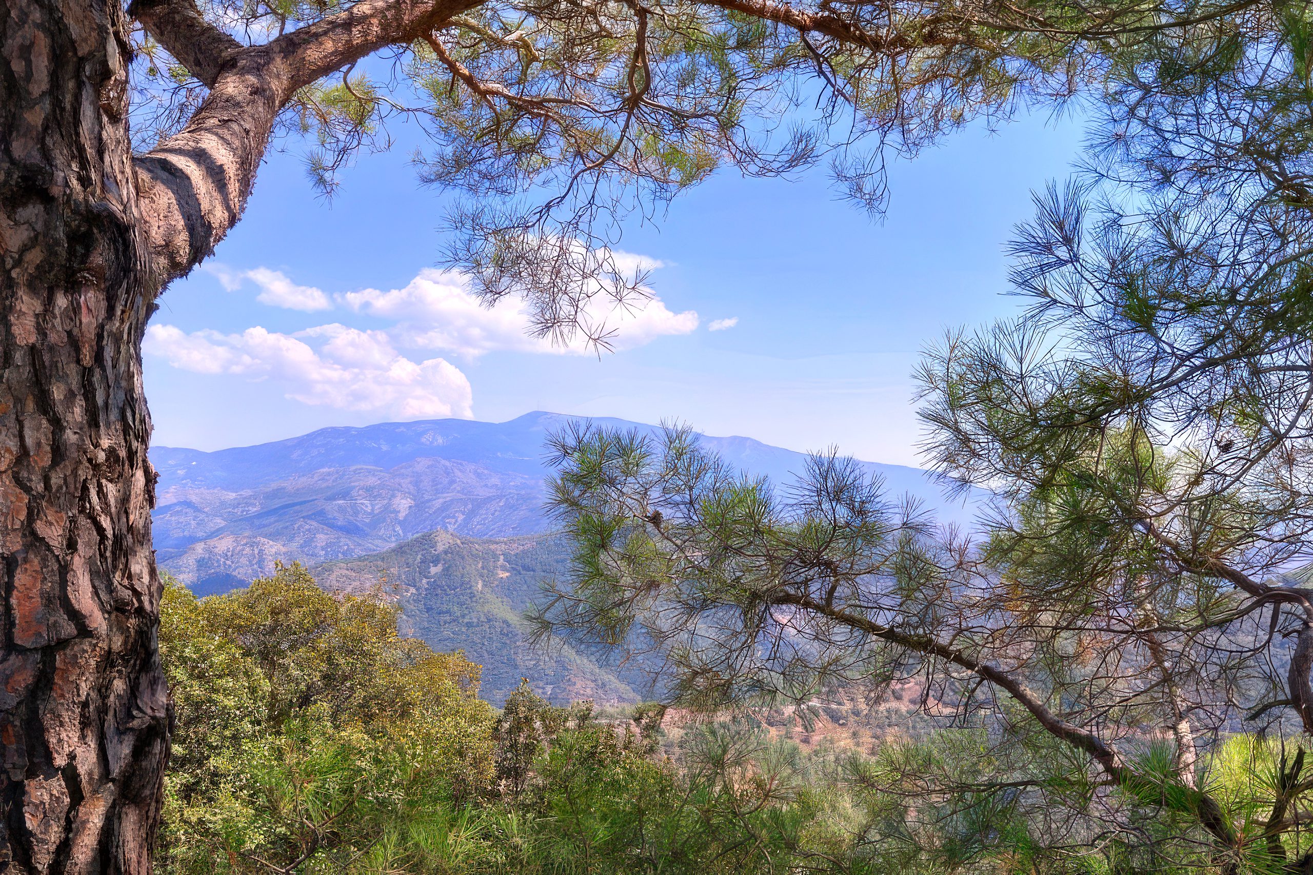
At certain points along the trail, hikers can see all the way to the northern coast of Cyprus across the island. On clear days, the view extends to the Mediterranean Sea in multiple directions. The trail sits high enough that temperatures remain notably cooler than coastal areas, often by 10-15 degrees Celsius.
A British long-range radar installation operates at the peak of Mount Olympus, visible from various points along the trail. This facility dates back to British military presence and continues to function as part of Cyprus’s relationship with the United Kingdom.
Flora and Fauna of the High Mountains
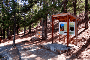
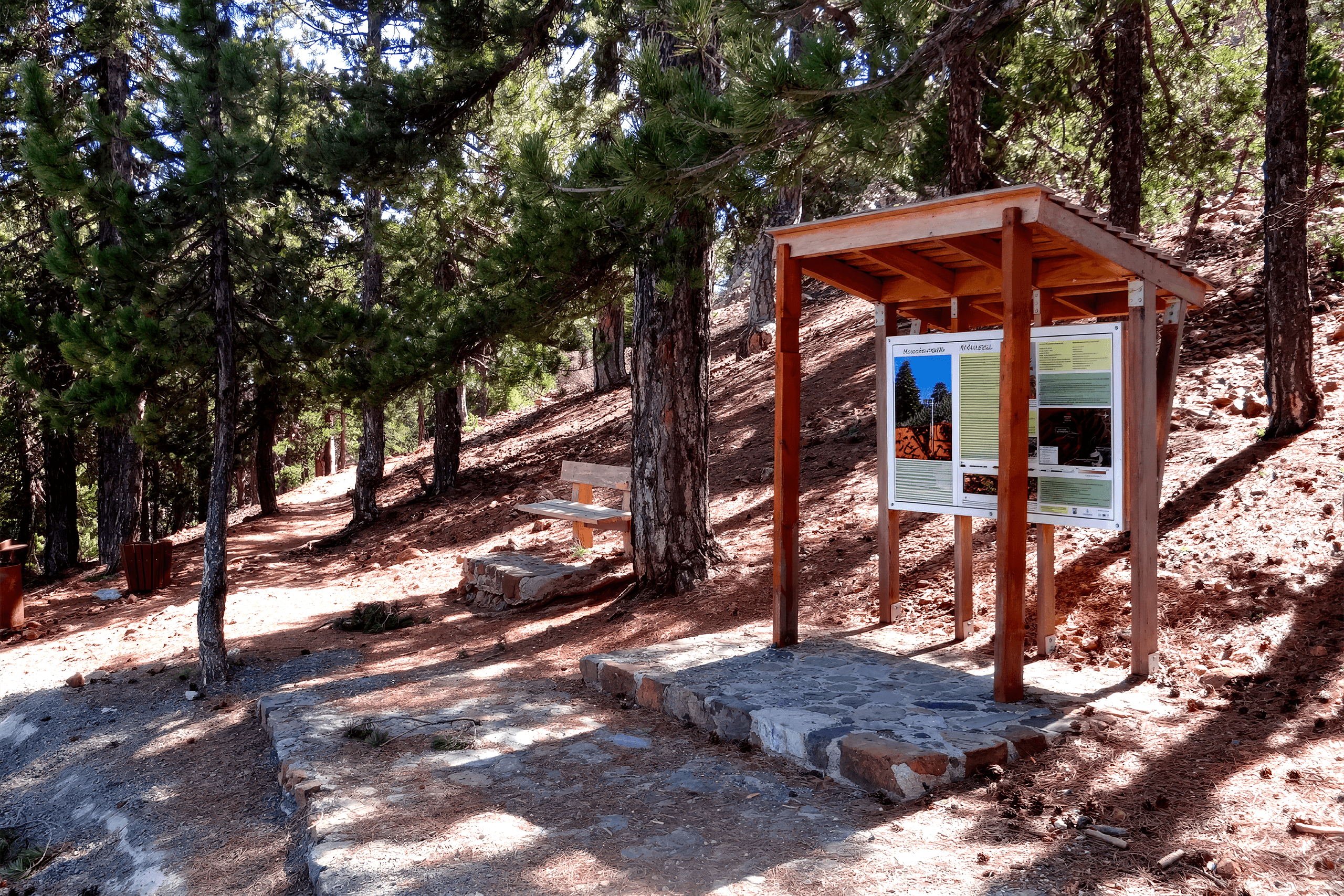
The trail hosts several plant species adapted to the high-altitude environment. Troodos sage grows in scattered patches, while other species include catmint, germander, alyssum, and various juniper species. Information signs along the trail provide details about these plants. Cyprus skullcap, an endemic plant found only on the island, appears in some sections.
Wildlife sightings remain possible though not guaranteed. The protected forest environment supports various bird species that attract birdwatchers to the area. Small mammals inhabit the forest, though they typically avoid the main trail during busy periods.
The Artemis Trail connects with the Atalanti Trail, another nature path in the same area. Hikers can combine both trails for a longer mountain experience. An Environmental Information Centre for the Troodos National Forest Park sits 2.2 kilometers from the trail.
The Trail’s Role in Modern Cyprus
The Artemis Trail serves as one of Cyprus’s most popular hiking destinations, attracting both locals and tourists throughout most of the year. The trail receives particularly heavy use during spring and autumn when temperatures remain mild and wildflowers bloom along the path. Summer months bring hikers escaping coastal heat, while winter occasionally covers the trail in snow.
The trail demonstrates how Cyprus balances tourism with environmental protection. Despite its popularity, the area maintains strict regulations about staying on marked paths to protect rare plant species. Smoking is prohibited throughout the trail, and visitors are required to carry out all waste.
For Cypriots, the Troodos Mountains represent an important part of national identity and provide a counterpoint to the island’s beach tourism. The Artemis Trail, as one of the most accessible high-altitude walks, plays a role in introducing people to this mountain environment.
Visiting Artemis Trail
The trail starts 300 meters from the junction where the Chionistra road meets the Troodos-Prodromos road. Free parking is available at the trailhead near the Cyprus Ski Club facilities. The location sits approximately 1.7 kilometers above Troodos Square. From Limassol, the drive takes roughly one hour. From Nicosia, the journey requires approximately 90 minutes.
The trail is best attempted between March and December. January and February often bring snow that can make the path more challenging. The recommended hiking time is 2.5 to 3 hours, though this varies depending on pace and how frequently hikers stop for views and photographs.
The Artemis Trail offers a window into a side of Cyprus that exists far from tourist beaches and ancient ruins. It demonstrates how a small Mediterranean island contains genuine mountain environments with their own distinct character, climate, and natural history. The trail makes this high-altitude world accessible to anyone willing to spend a few hours walking through ancient forests and across slopes where the geology of the ocean floor now sits nearly 2,000 meters above the sea. In a landscape defined by contrasts, the Artemis Trail represents Cyprus at its most elevated, both literally and as an example of how the island protects and shares its natural heritage.