The Troodos region painted churches represent a group of ten medieval monuments built between the 11th and 16th centuries across the mountainous interior of Cyprus. These structures include small rural chapels and former monastic churches, all known for two defining features: richly preserved interior fresco programs and steep-pitched timber roofs adapted to local climate conditions.
Nine of the churches are located in the Nicosia District, while one example, the Church of Timios Stavros in Pelendri, is located in the Limassol District. Together, they form one of the most important surviving collections of Byzantine and post-Byzantine mural painting in Cyprus.
Historical Background
Cyprus became fully integrated into the Byzantine administrative system in 965 AD after the reconquest of the island by imperial forces under Emperor Nikephoros II Phokas. Prior to this, the island experienced a long period of shared governance beginning in 688 AD, when agreements between the Byzantine Empire and the Umayyad Caliphate created a joint administrative arrangement. Although this system was inconsistent in practice, it resulted in relatively stable conditions and limited militarization on the island.
After 965 AD, Cyprus was organized as a Byzantine province, and the island experienced gradual economic and administrative development. Urban centers such as Nicosia, Famagusta, Limassol, and Kyrenia expanded in importance during this period, supported by trade and agricultural production.
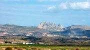
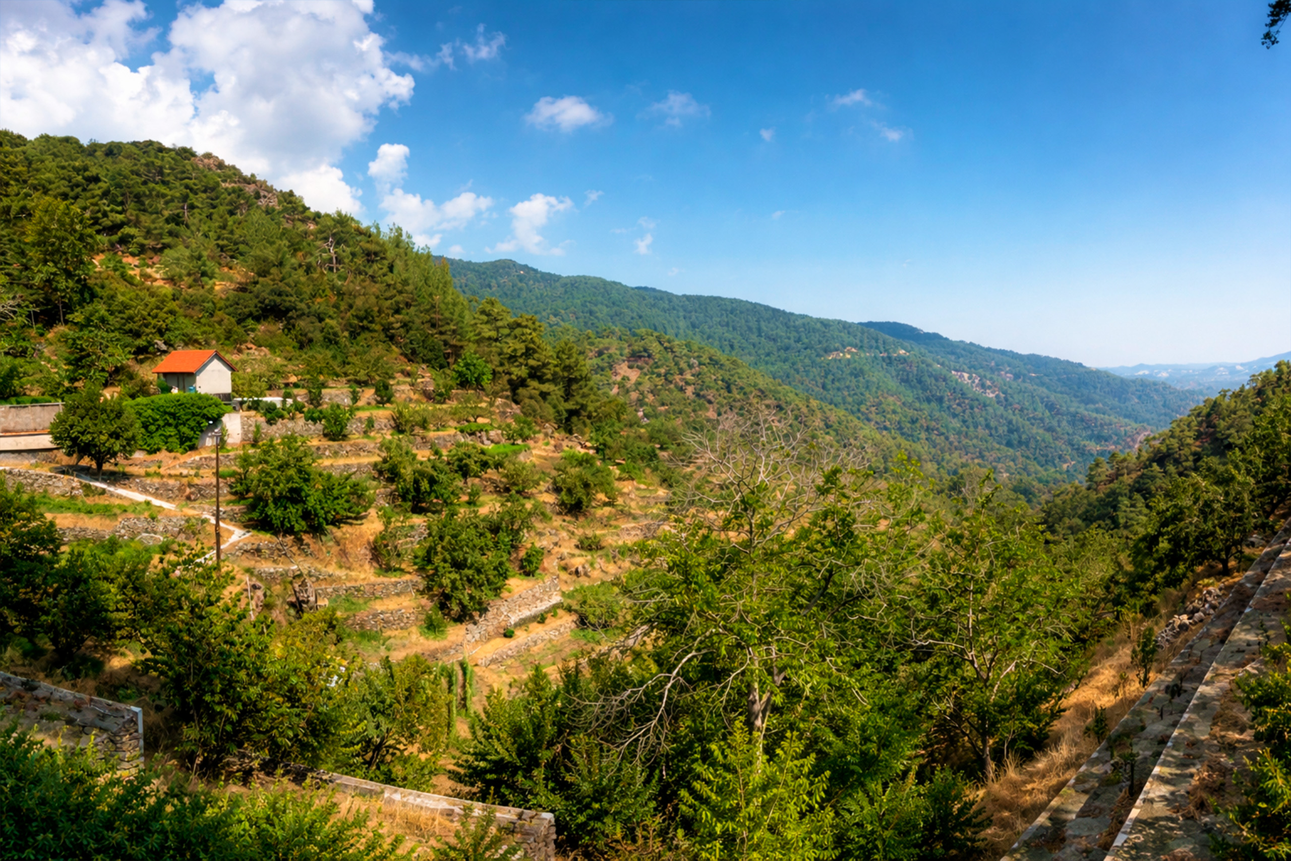
This environment contributed to increased construction activity in both urban and rural areas. The mountainous regions of the Troodos range became a focal point for small religious communities and rural chapels. The remote geography provided relative isolation, while also offering cooler climatic conditions suitable for year-round habitation and seasonal retreat.
Architectural Features
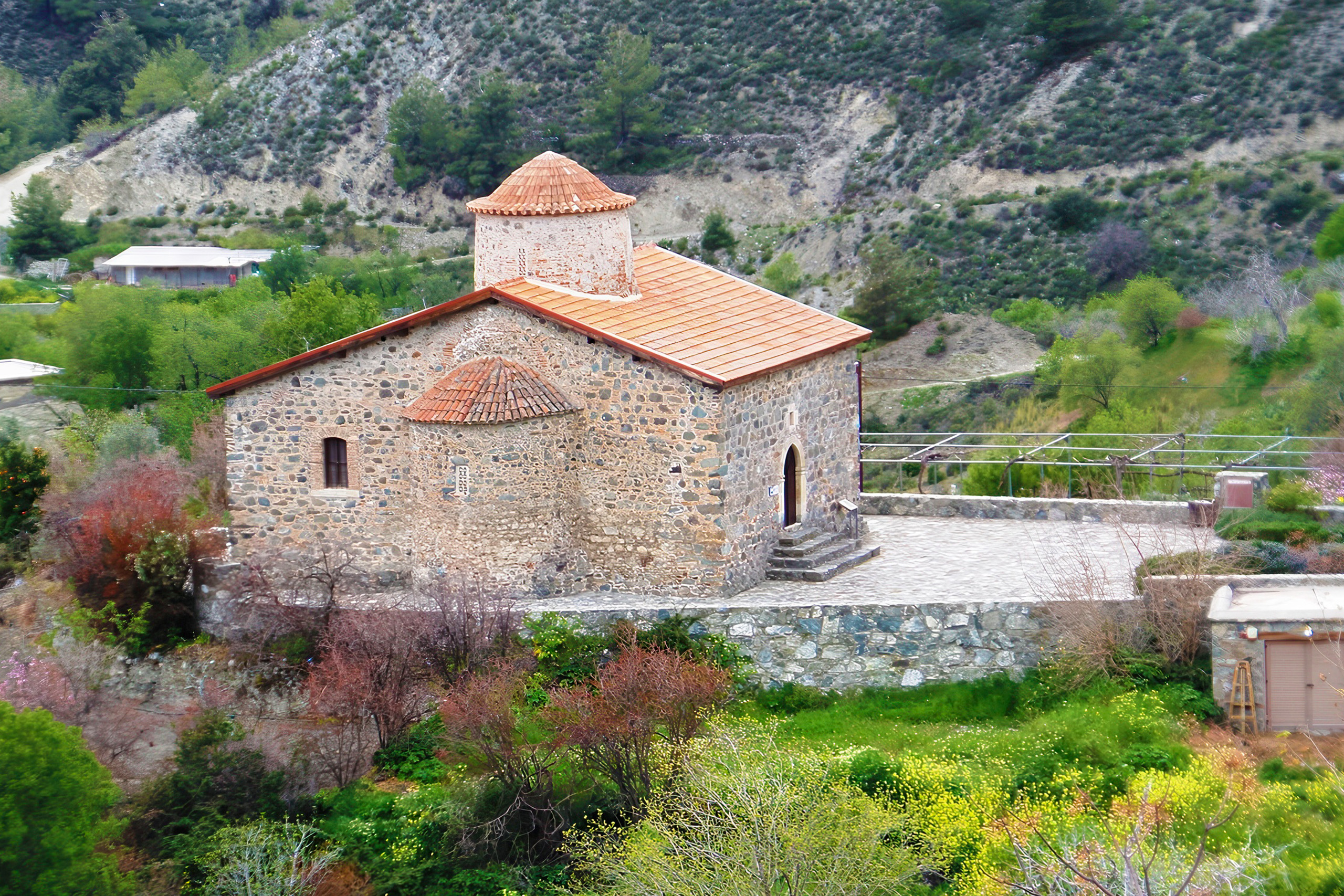
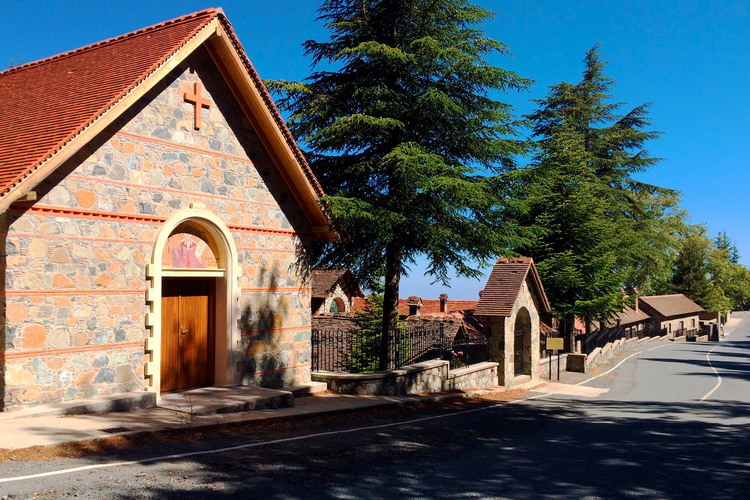
The churches of the Troodos region are distinguished by a consistent architectural adaptation to local environmental conditions. Their most recognizable feature is the steeply pitched timber roof, typically covered with flat clay tiles. This design was developed to protect the underlying masonry structures from heavy rainfall and occasional snowfall in higher elevations.
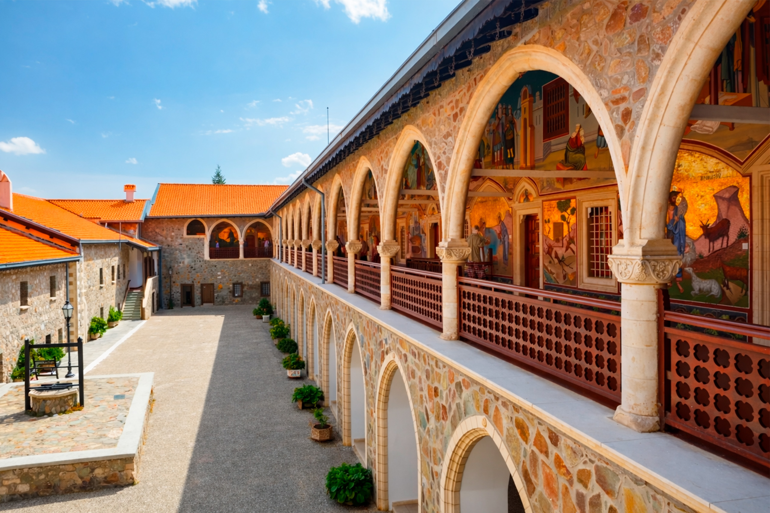
In many cases, the timber roof was constructed above an earlier vaulted or domed masonry structure, creating a dual-layer protective system. This hybrid architectural form is widely considered a regional development specific to Cyprus, shaped by climate, available materials, and local building traditions.
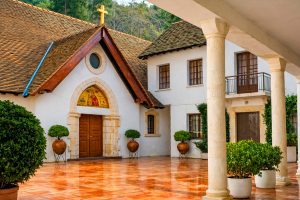
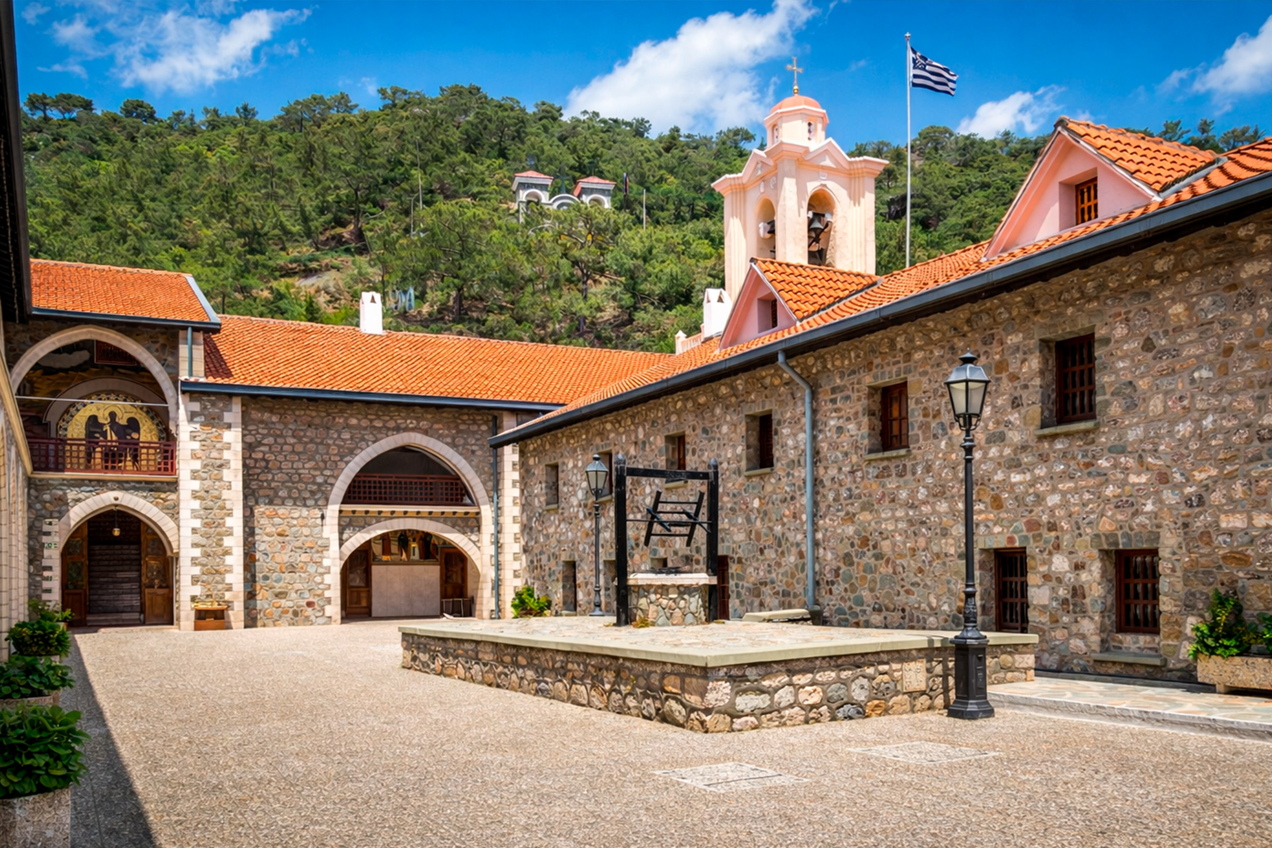
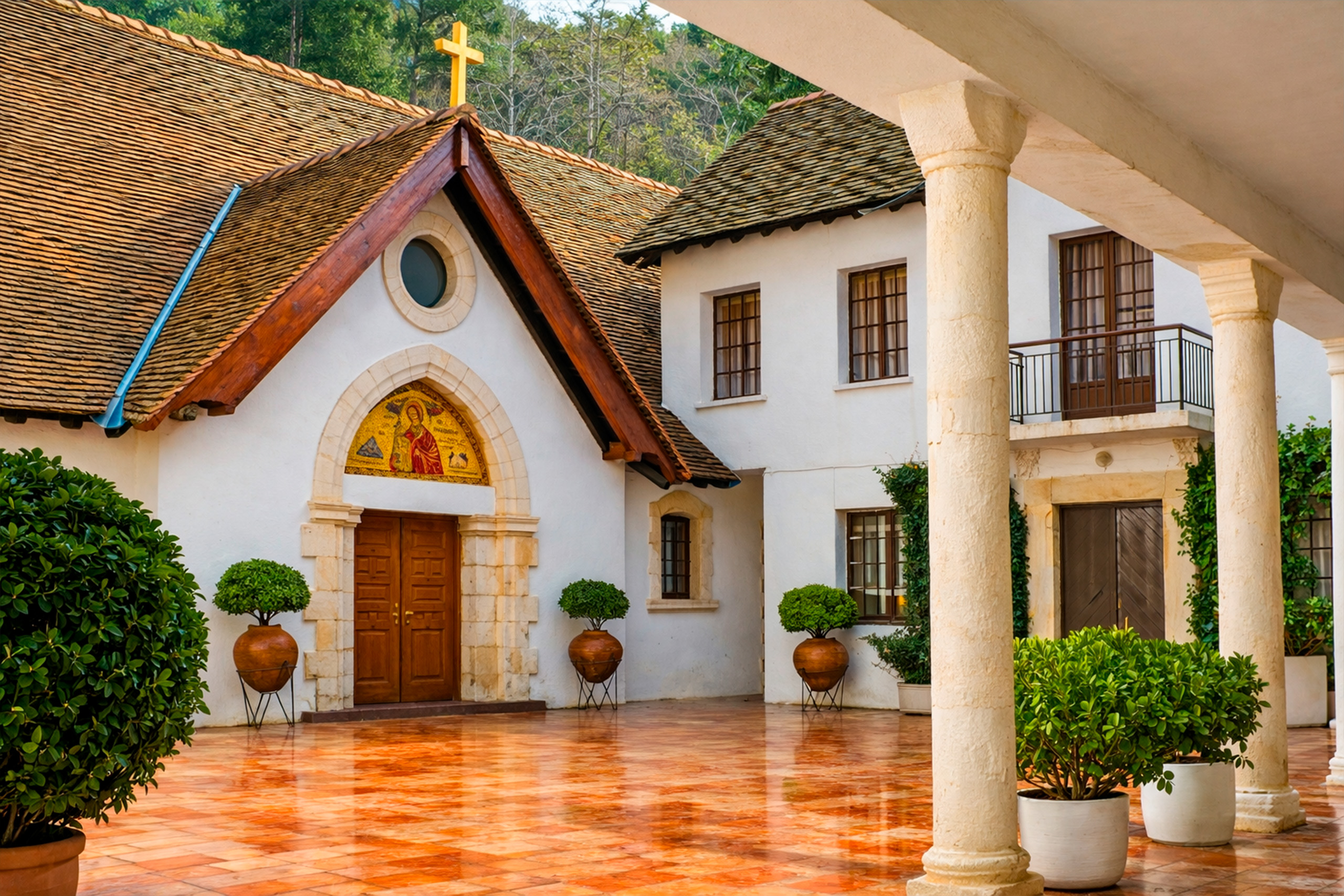
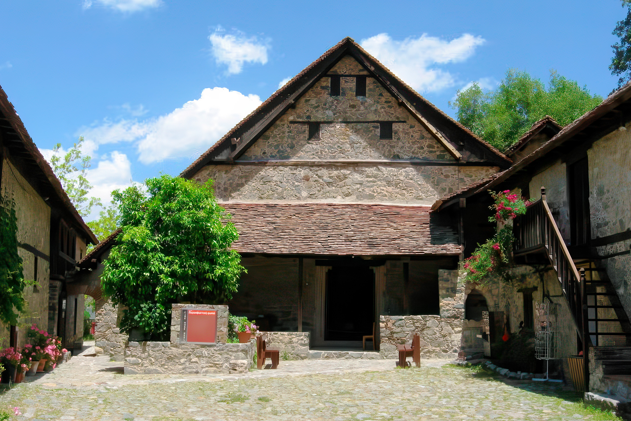
Most churches follow simple ground plans, typically single-aisle structures, though some later additions include porches or enclosed narthexes. Externally, these buildings often appear modest and integrated into their rural surroundings, contrasting sharply with the detailed painted interiors.
The Ten Churches
Agios Nikolaos tis Stegis (Kakopetria)
The Church of Agios Nikolaos tis Stegis in Kakopetria dates to the 11th century and is one of the earliest surviving examples in the region. Its protective timber roof helped preserve multiple layers of frescoes spanning several centuries, from the Byzantine period through later post-Byzantine phases.
Agios Ioannis Lampadistis (Kalopanayiotis)
The complex at Agios Ioannis Lampadistis Monastery consists of multiple adjoining chapels built over different periods. This layered structure allows the study of artistic and architectural development from the 11th century onward, with each section reflecting a distinct historical phase.
Panagia Phorviotissa (Asinou)
Located near Nikitari, this church was established in the early 12th century. Its frescoes are widely studied for their stylistic clarity and well-preserved iconographic programs from the medieval period.
Panagia tou Arakou (Lagoudera)
The church in Lagoudera dates to the 12th century and is noted for its highly detailed wall paintings. It reflects artistic developments during a period when monastic activity in the Troodos region was particularly active.
Panagia (Moutoullas)
Located in Moutoullas, this 13th-century church is among the earliest known examples of the steep-roof architectural form. Its structure reflects early experimentation with timber roofing over masonry construction.
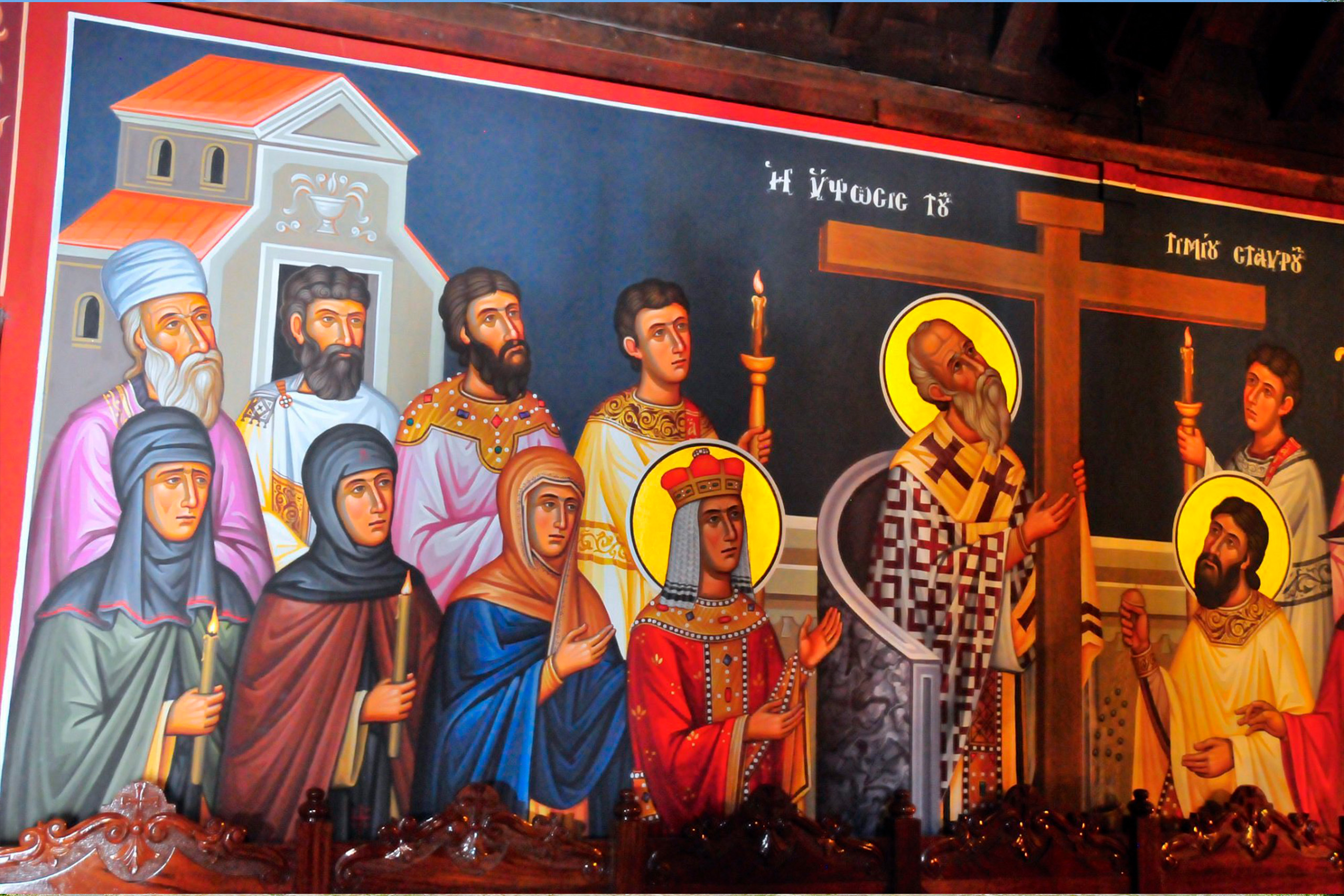
Timios Stavros (Pelendri)
The Church of Timios Stavros in Pelendri includes building phases from different periods, with the earliest dating to the late 12th century. It contains important wall paintings from the 14th century and reflects successive phases of architectural adaptation.
Panagia Podithou (Galata)
In Galata, this early 16th-century church was originally part of a larger monastic complex. Its decorative program reflects artistic influences from the late medieval period on the island.
Stavros Agiasmati (Platanistasa)
Located in Platanistasa, this late 15th-century structure preserves one of the most complete examples of its architectural type, including a fully preserved timber roof system.
Archangel Michael (Pedoulas)
The church in Pedoulas was built in the 15th century and contains wall paintings representative of late Byzantine artistic traditions on the island.
Metamorfosis tou Sotiros (Palaichori Oreinis)
Located in Palaichori Oreinis, this early 16th-century church is notable for its elevated position overlooking the village and its well-preserved interior decoration.
Cultural Significance
The Troodos painted churches represent an important record of medieval mural painting traditions in Cyprus. The frescoes document stylistic changes over several centuries and demonstrate how local artistic practices evolved in response to broader regional influences across the eastern Mediterranean.
These monuments also illustrate the interaction between Byzantine artistic traditions and later influences introduced during periods of Latin and Venetian rule. This cultural layering is visible in both iconographic themes and painting styles across different periods.
Conservation and Access
The churches remain preserved historical monuments managed under national heritage protection frameworks. Conservation efforts focus on maintaining structural stability and preserving fragile wall paintings, which are sensitive to humidity and environmental exposure.
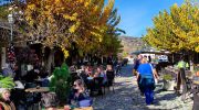
Many sites are accessible to visitors, though opening hours vary depending on location and preservation requirements. Some churches operate on limited schedules, and access may require coordination with local caretakers or heritage authorities.
Photography restrictions are commonly enforced inside interiors to protect fresco surfaces from light damage.
Visiting the Churches
The churches are distributed across mountainous areas of the Troodos Mountains, primarily within the Pitsilia, Solea, and Marathasa regions. Road access typically involves narrow, winding mountain routes connecting rural villages.
Due to their dispersed locations, visiting all ten churches generally requires a full day of travel. Signage along regional roads indicates directions to major sites, though conditions vary between villages.
Significance for Cyprus
The painted churches of the Troodos region represent a continuous architectural and artistic tradition shaped by local geography and historical development. Together, they form a significant cultural archive of medieval Cypriot wall painting and rural ecclesiastical architecture, reflecting centuries of regional artistic evolution and community-based construction practices.