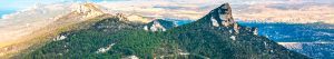
Kyrenia (Pentadaktylos) Mountains
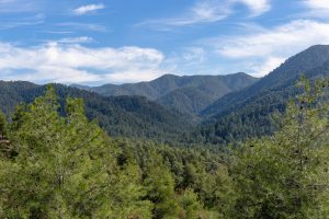
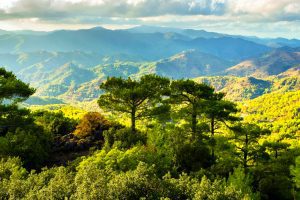
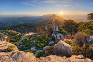
Whether you stand on the observation deck in Troodos near the summit of Mount Olympus on a clear day, walk across the rolling fields of the Mesaoria plain, or simply drive through the streets of Nicosia, your eyes will inevitably be drawn north. Expedia There, a long, jagged ridge cuts across the horizon like a line drawn by a giant hand. In some places it rises so sharply that it feels unreal, as if the land itself has been lifted and frozen mid-motion. At sunrise it glows pale and soft. By midday it hardens into white stone. At dusk it becomes a jagged silhouette, like the ruins of a forgotten kingdom. These are the Kyrenia Mountains, also known as Pentadaktylos.…
Read more