Cyprus is often imagined as a land of calm beaches and gentle shorelines, but some of its most striking coastal landscapes rise sharply instead of stretching outward. In several parts of the island, the land ends abruptly in high limestone cliffs that fall straight into the Mediterranean, creating views that feel expansive, exposed, and quietly dramatic. These vertical coastlines offer a very different way of experiencing Cyprus, one shaped by height, light, and the sudden meeting of land and sea.
- Where Cyprus Breaks the Horizontal Line
- Stone, Light, and the Shape of the Island
- Cape Greco: Open Space at the Island’s Edge
- Beneath the Heights: Hidden Shores and Intentional Arrival
- The Western Edge: Wilderness Shaped by Time and Story
- Experiencing Cyprus’s Vertical Horizons Today
- Why the Drop Matters
Where Cyprus Breaks the Horizontal Line
Most Mediterranean coastlines encourage the eye to travel sideways. Cyprus’s cliffs do the opposite. They pull the gaze downward and outward at once, creating a sense of scale that feels rare in a region better known for gentle beaches.
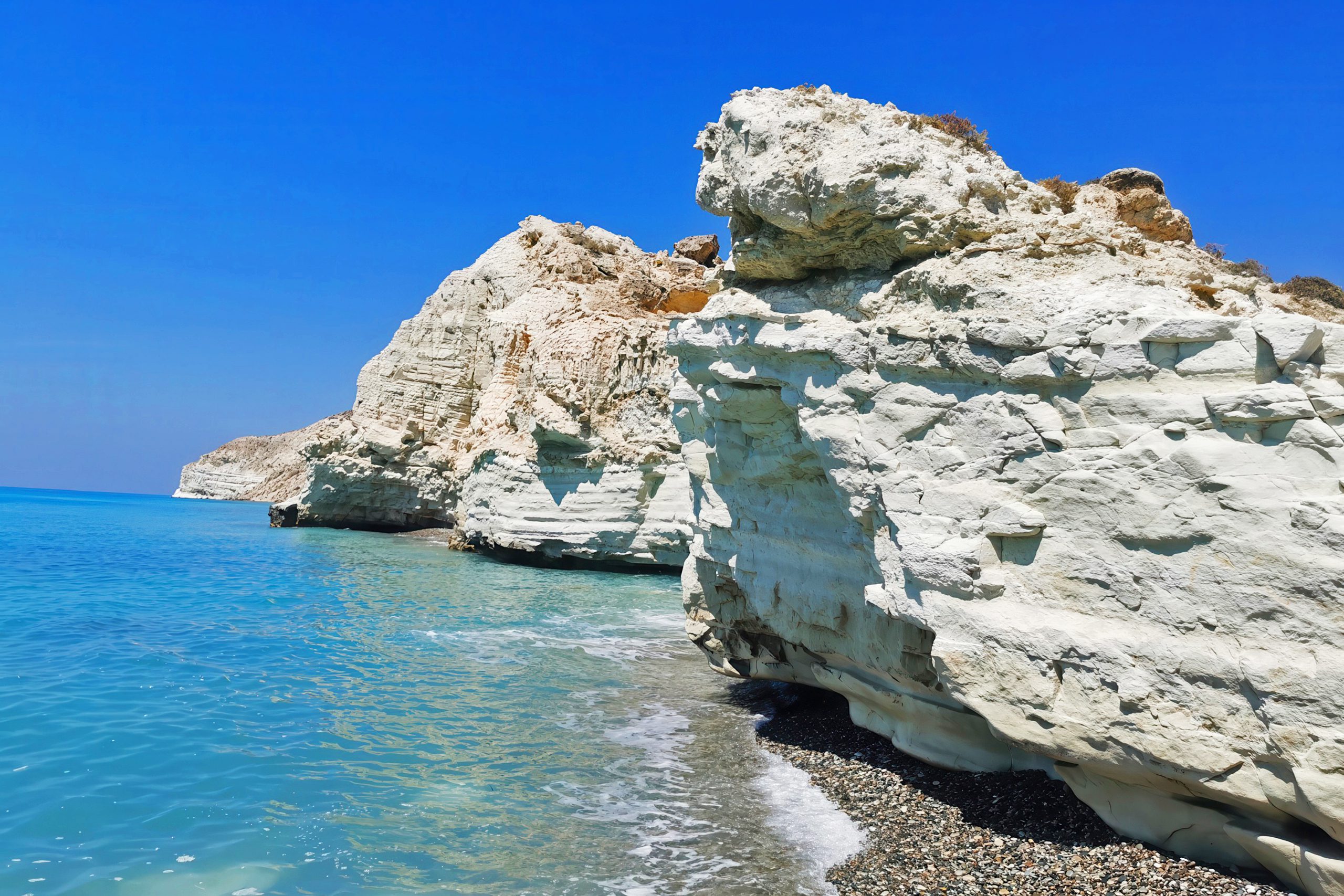
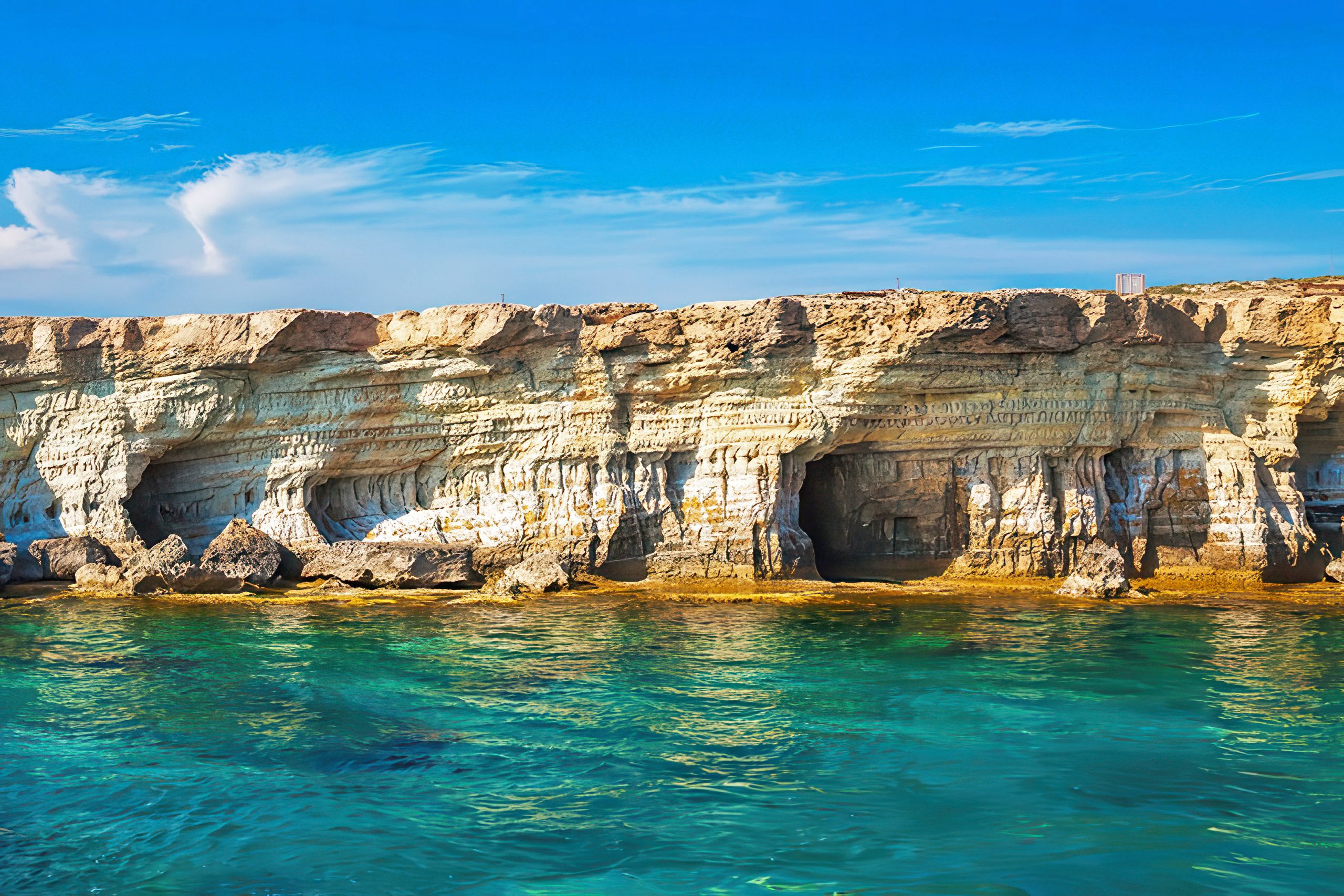
These dramatic drops appear along several stretches of the island, each with a different character. In the east, Cape Greco’s pale limestone edges meet intensely blue water in clean, sculpted forms. Along the south coast near Pissouri, the white cliffs of Cape Aspro rise sharply and uninterrupted, some reaching heights of over 250 metres. In the west, the Akamas Peninsula remains rugged and untamed, where steep land meets sea without much warning or infrastructure.
What unites these places is not just their height, but the feeling they create. Standing at the edge of these cliffs, the horizon feels closer and more powerful, as if the sea is not simply a backdrop but an active presence.
Stone, Light, and the Shape of the Island
The drama of Cyprus’s cliffside horizons is rooted in its geology. The island sits on complex layers of ancient oceanic crust and sedimentary limestone, lifted and reshaped over millions of years. In some places, erosion has carved smooth, luminous cliff faces that reflect sunlight strongly, giving the coast a bright, almost glowing quality.
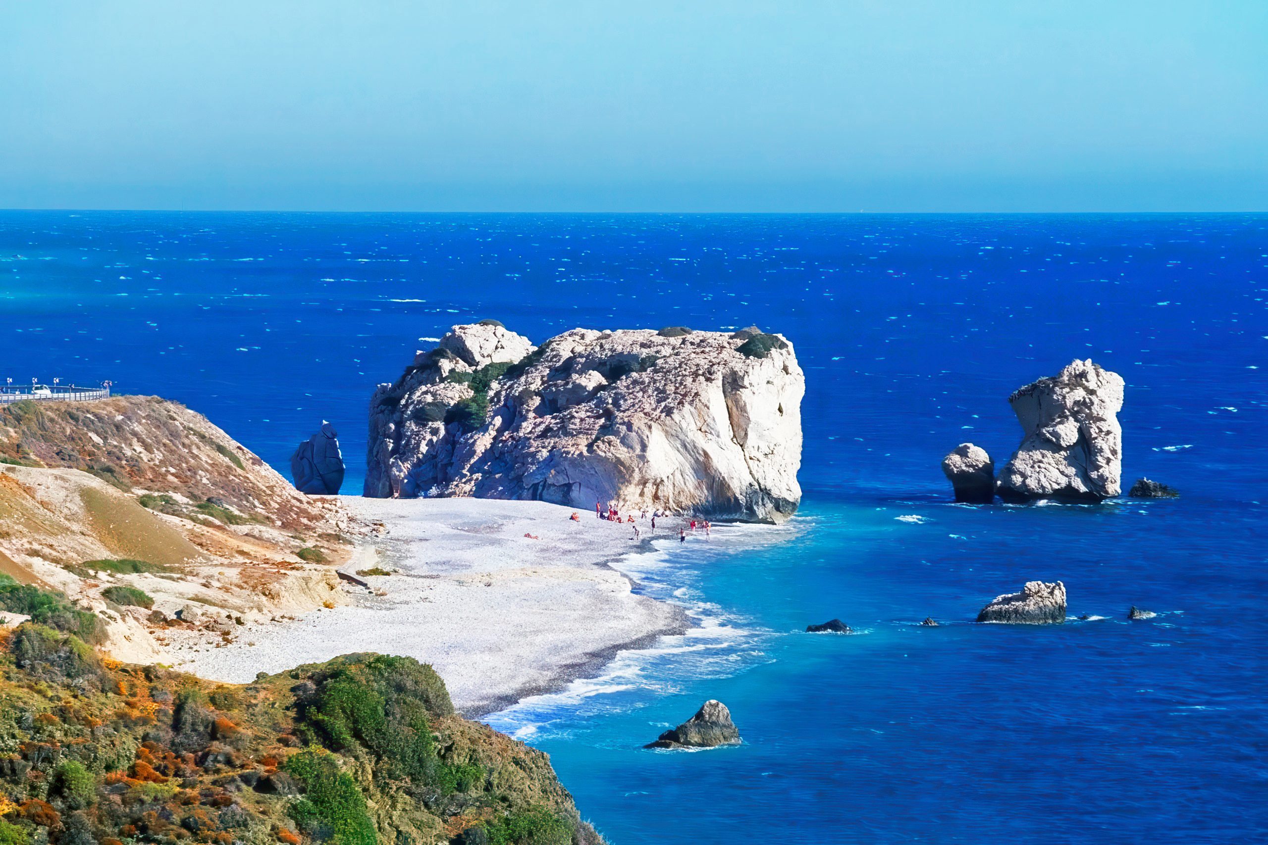
This is especially noticeable along the southern cliffs near Pissouri and Petra tou Romiou, where pale stone contrasts sharply with deep turquoise water. The brightness of the rock changes with the time of day, shifting from crisp white under midday sun to warm gold and pink tones near sunset. These transitions give the cliffs a sense of movement, even though the landscape itself feels timeless.
The sea plays its part as well. Where cliffs descend steeply, the water often appears clearer and darker, intensifying the sense of depth and separation between land and sea.
Cape Greco: Open Space at the Island’s Edge
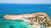
At the southeastern tip of Cyprus, Cape Greco offers some of the island’s most accessible cliffside views. The land here feels open and exposed, with wide horizons and long sightlines across the sea. Low vegetation and pale rock dominate the landscape, allowing light to move freely across the surface.
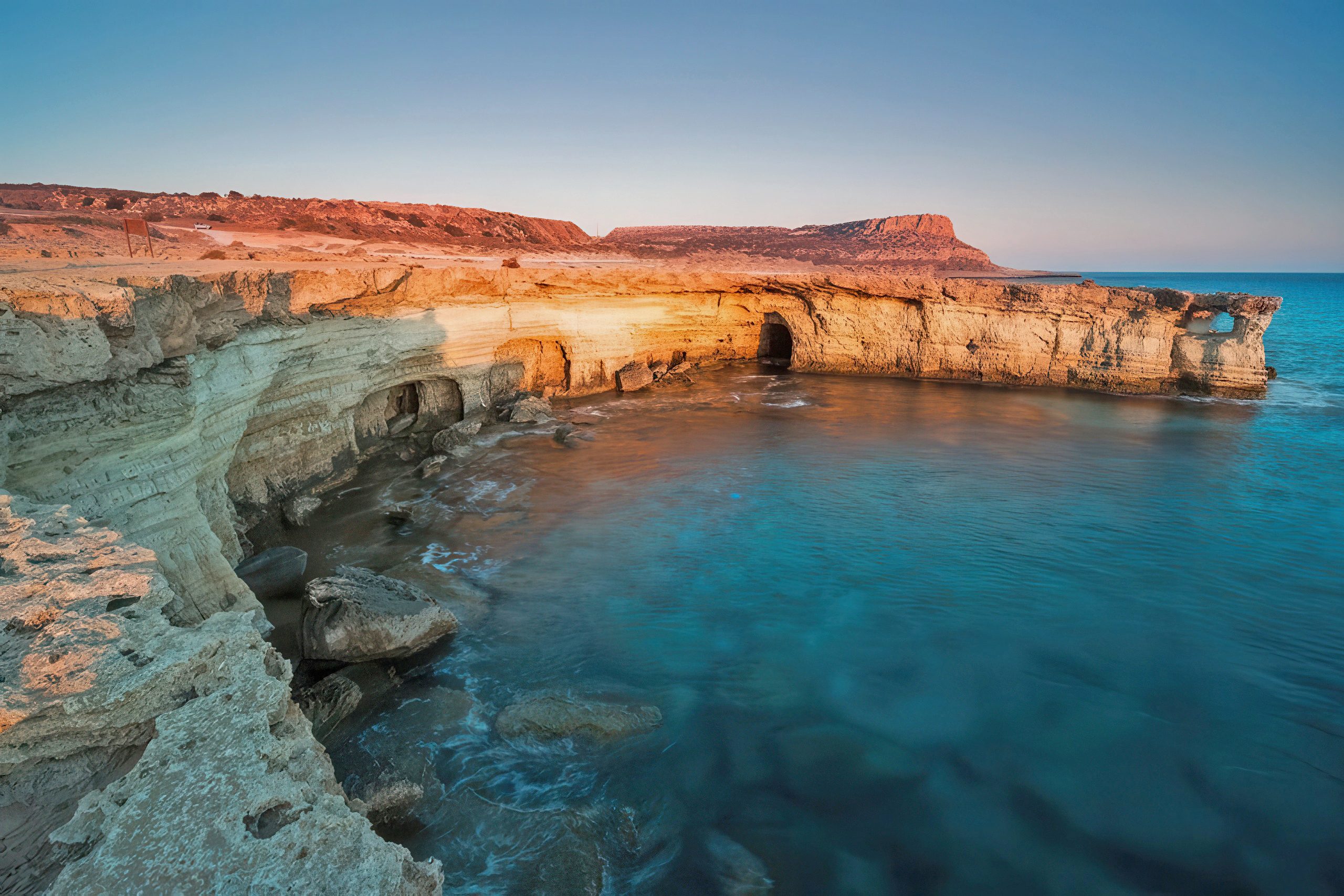
From the lighthouse area, the view stretches in nearly every direction, making it one of the best places on the island to experience sunrise or late afternoon light. Nearby sea caves add another layer of interest, where erosion has cut arches and openings into the limestone. These formations frame the horizon naturally and give the coastline a sculpted, almost theatrical quality.
Despite its proximity to popular resorts, Cape Greco retains a sense of space. The cliffs feel less like a destination and more like a threshold, a place where the island gently but decisively ends.
The Southern Cliffs: Scale, Weight, and Stillness
West of Cape Greco, the coastline near Pissouri shifts in tone and presence. Here, the land does not open outward but rises with authority, forming the stark white walls of Cape Aspro. These cliffs feel heavier, more imposing, and less ornamental, asserting their scale long before you reach their edge.
From above, the drop is immediate and uncompromising, with little visual transition between solid ground and open air. From the sea below, the cliffs appear vast and enclosing, their height lending a sense of protection as well as isolation. The contrast between exposure and shelter becomes part of the experience, depending entirely on perspective.
The stillness of this coastline amplifies its impact. With few buildings, limited foot traffic, and minimal infrastructure, sound fades quickly. Wind, distant waves, and the shifting light across stone become the dominant elements, especially in the late afternoon when shadows lengthen, and the cliffs take on warmer tones.
Beneath the Heights: Hidden Shores and Intentional Arrival
At the base of these southern cliffs, small coves such as Zapalo Bay sit quietly, shaped as much by the difficulty of access as by geology. Reaching them requires effort, often on foot, and that effort filters the experience. These are not beaches encountered casually or by chance.
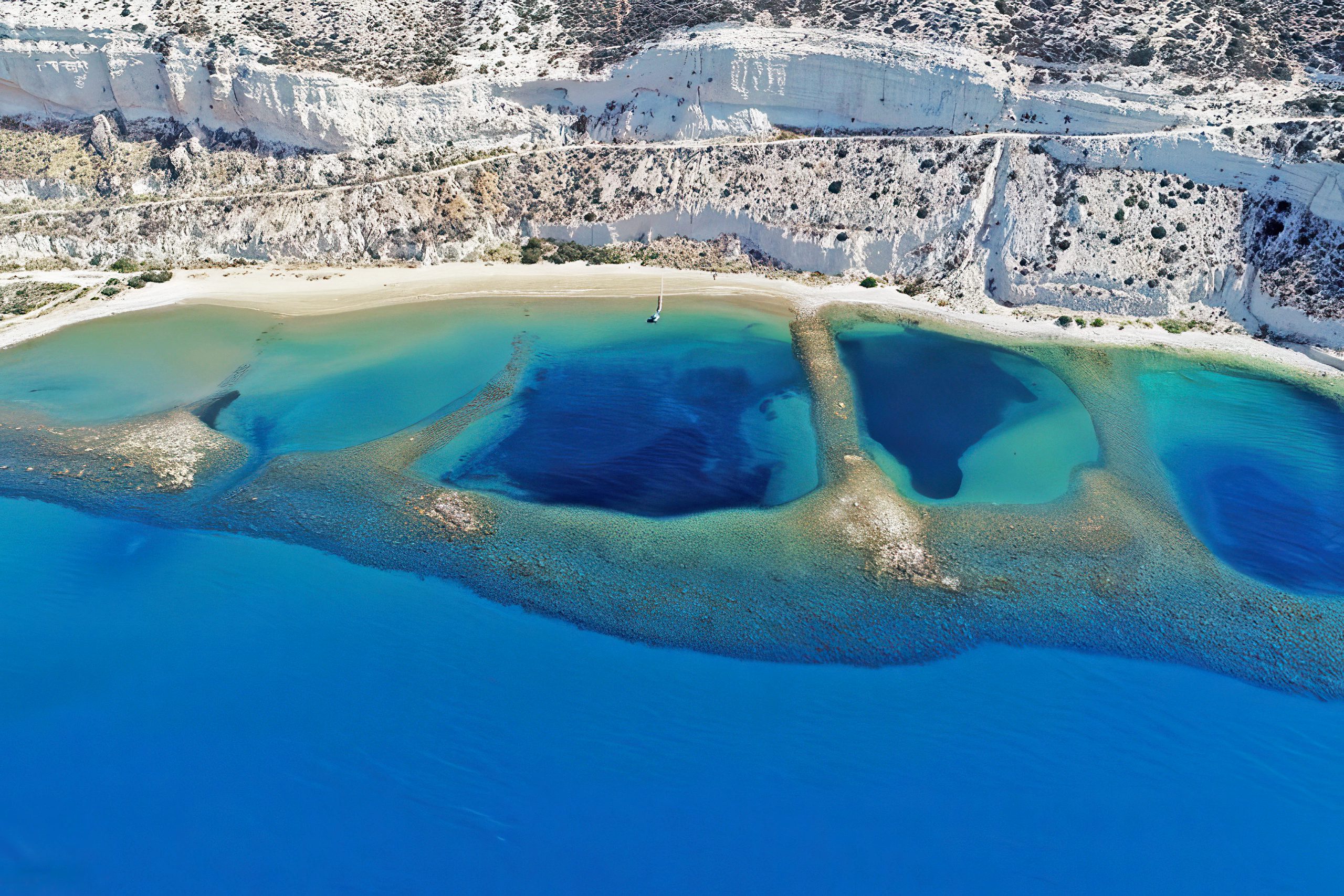
The descent, the changing angles of the cliffs, and the gradual reveal of water below all contribute to a sense of arrival that feels earned rather than convenient. The scale of the cliffs above remains present even at sea level, reinforcing a feeling of enclosure and calm that contrasts sharply with busier coastal areas elsewhere on the island.
Here, the verticality of the landscape continues to define the relationship between land and sea, reminding visitors that height and depth are inseparable parts of the same story.
The Western Edge: Wilderness Shaped by Time and Story
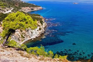
Further west, the Akamas Peninsula offers a more untamed expression of Cyprus’s vertical coastlines. The cliffs here are less uniform, often interrupted by dense vegetation and uneven terrain. Paths are rougher, views appear suddenly, and the sea below shifts between emerald and deep blue depending on depth and light.
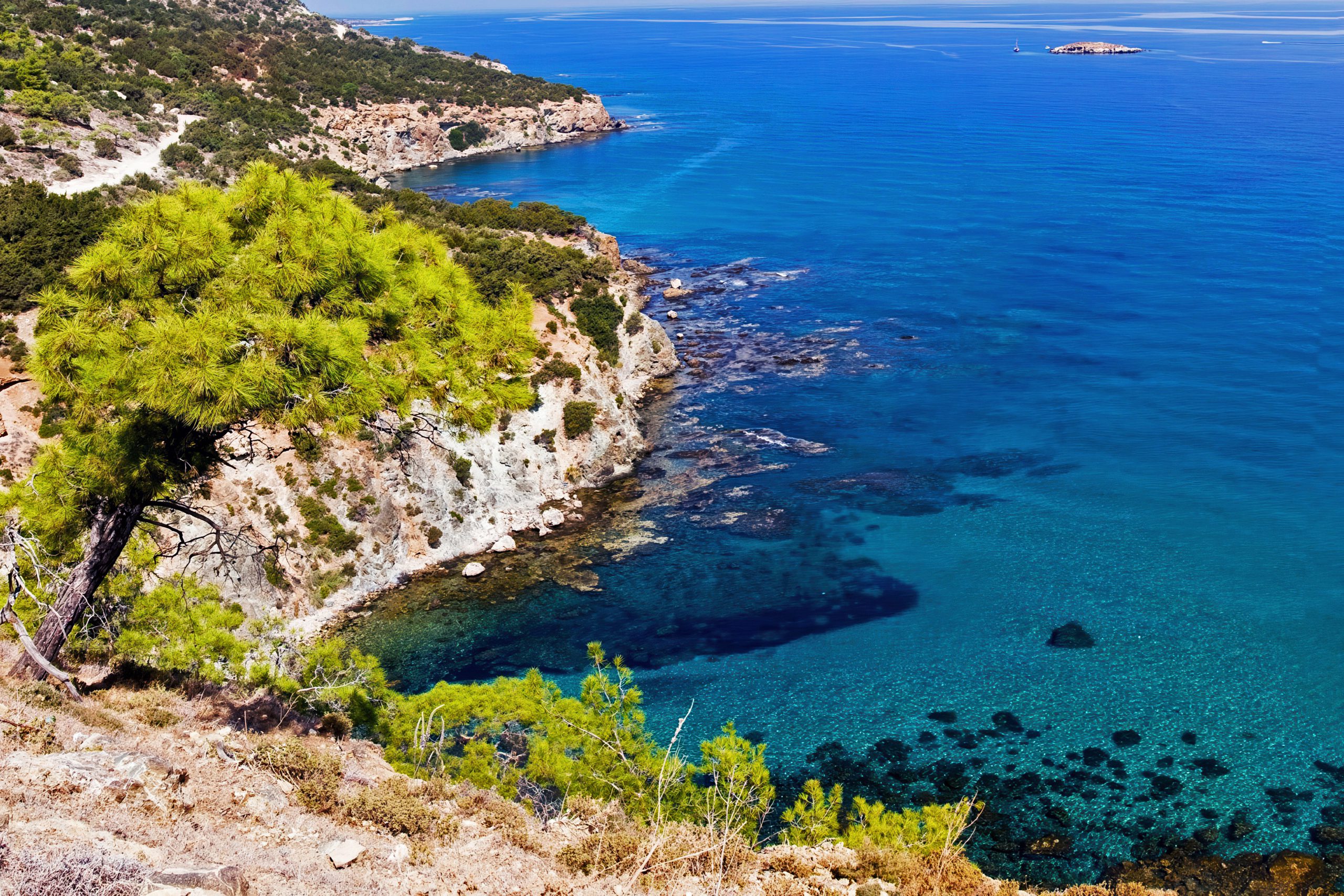
This region carries a strong sense of narrative as well as natural drama. Near Paphos, the limestone formations of Petra tou Romiou rise from the water with symbolic weight, long tied to the myth of Aphrodite’s birth. In this landscape, geology and storytelling coexist, each reinforcing the other.
The limited development across Akamas allows these cliffs to retain a feeling of age and resistance. They appear less observed and less shaped by human expectation, offering a horizon that feels raw, layered, and quietly enduring.
Experiencing Cyprus’s Vertical Horizons Today
Encountering these cliffside landscapes requires a different rhythm than visiting Cyprus’s beaches. These are places that reward timing, patience, and awareness rather than speed or spectacle.
Early mornings and late afternoons offer softer light and calmer conditions, allowing the textures of stone and sea to emerge fully. Many viewpoints involve uneven ground, exposure to wind, and little shade, making preparation essential. Good footwear, water, and a willingness to slow down shape the experience as much as the landscape itself.
In return, the cliffs offer moments that linger. The sound of wind moving across stone, the distant movement of the sea far below, and the clarity of standing at a visible edge create a sense of presence that is difficult to replicate elsewhere along the coast.
Why the Drop Matters
Cyprus’s vertical coastlines challenge the island’s familiar image. They replace ease with tension, softness with exposure, and horizontal comfort with dramatic interruption. In doing so, they reveal a deeper dimension of the island’s character.
These cliffs speak of geological patience and long memory, of landscapes shaped over immense spans of time rather than seasonal change. They invite a quieter form of attention, one grounded in perspective rather than activity.
To understand Cyprus fully, it helps to stand where the land ends abruptly, where the horizon feels close and powerful, and where the Mediterranean stretches outward with nothing to soften the fall.