Lapithos sits on the northern coast of Cyprus beneath the Kyrenia mountains, where lemon groves once produced 11 million fruits per year and Byzantine treasures buried during Arab raids emerged a thousand years later in museum collections around the world. This settlement has existed for over 5,000 years under at least four different names.
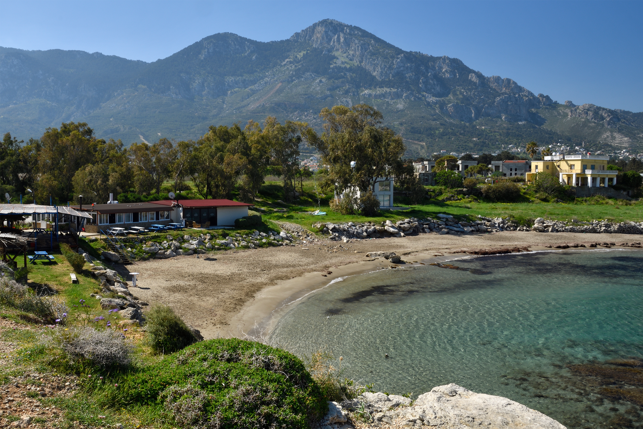
Lapithos is one of the oldest continuously inhabited sites on Cyprus. The modern town of Lapithos occupies the slopes of the Pentadactylos mountain range near where the ancient city kingdom once stood.
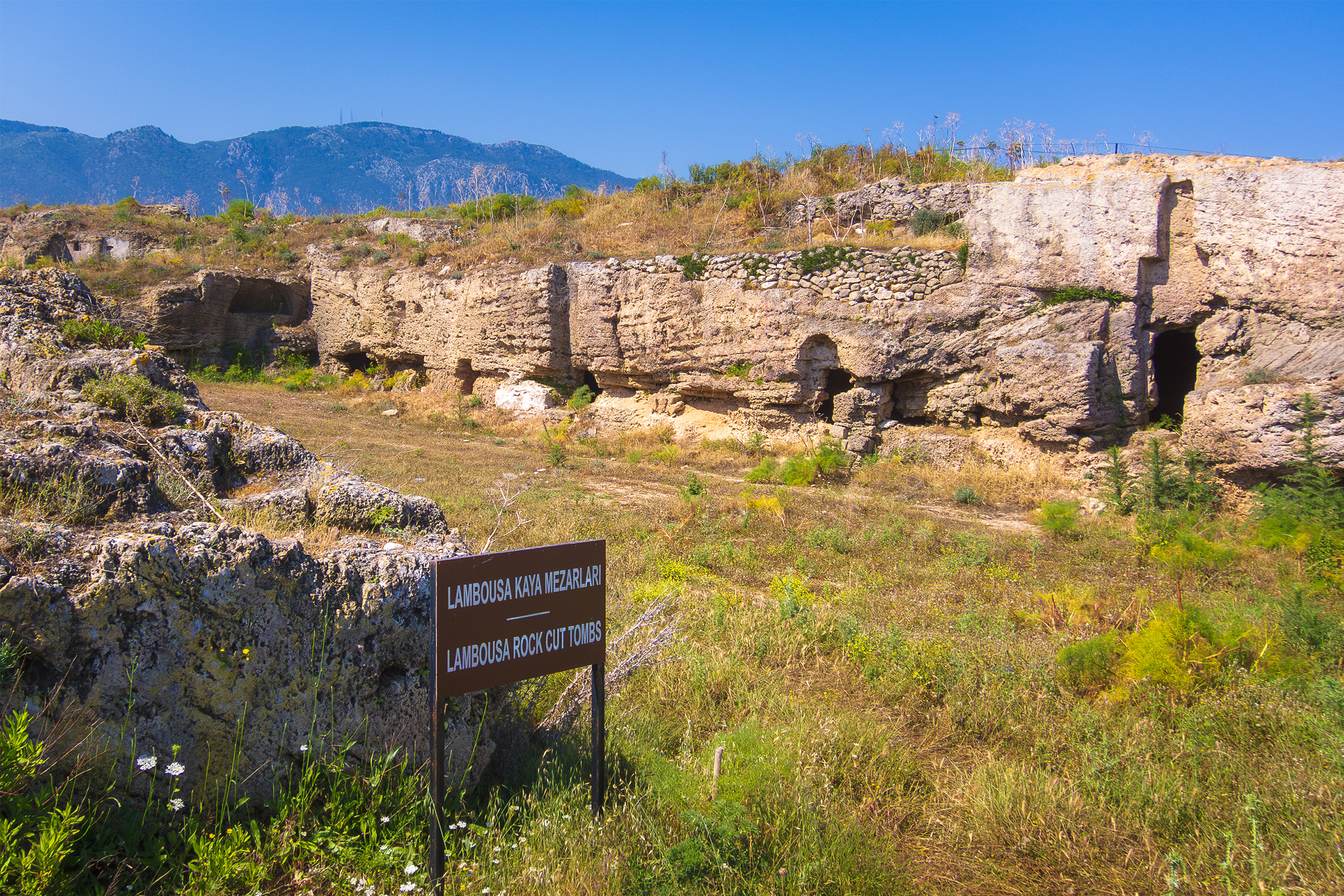
The coastal ruins three kilometers north are called Lambousa, the name used during Roman and Byzantine times. Ancient writers, including Strabo, knew it as Lapethos. The philosopher Alexander of Ephesus called it Imeroessa, meaning attractive and passion-arousing. Assyrian inscriptions from 700 BC mention it as Sillu. Each name reflects a different period in the settlement’s long history.
Historical Background
The oldest settlement at Lapithos dates to the Neolithic or Chalcolithic period and is located west of the current town at a site called Alonia ton Plakon. Archaeological evidence, including pottery and pottery wheels, confirms occupation as early as 3000 BC. Stone foundation walls, hearths, and three bothroi cut into rock have been found, though floods and later cultivation damaged much of the early settlement.
According to Greek tradition, Spartan colonists led by Praxandros founded the city after the Trojan War around 1000 BC. Another legend claims the Achaean brothers Praxandros and Cepheus established the settlement. While these foundation myths served Greek political purposes, they reflect the arrival of Greek settlers who transformed Lapithos into one of the nine ancient kingdoms that ruled Cyprus.
By 800 BC, the Phoenicians had gained control of the city and made it an important trading center. During this period, Lapithos minted its own coins. The coins from the 5th and 4th centuries BC record rulers with Phoenician names, including DMWNKS the first, ṢDQMLK, and DMWNKS the second. The first two depicted the head of Athena on their coins, while the last two showed Athena standing and Heracles. This unique blend of Phoenician administration and Greek imagery makes Lapithos a distinctive case study in cultural integration.
The last independent king was Praxippos, who sided with Antigonus in his war against Ptolemy I. When Antigonus lost, Ptolemy subdued Lapithos in 312 BC. The city came under Ptolemaic Egyptian control and lost its independence.
Wealth from Metal and Maritime Trade
During the Bronze Age, Lapithos was one of the few coastal settlements on Cyprus. Chemical analyses of over 400 artifacts from Early and Middle Bronze Age tombs excavated in 1913 show the city imported tin bronze in significant quantities, along with finished metal objects and ornaments of faience, lead, silver, and gold.
The city served as a major consumer of metal and probably also as a production center participating in international trade networks across the Eastern Mediterranean.
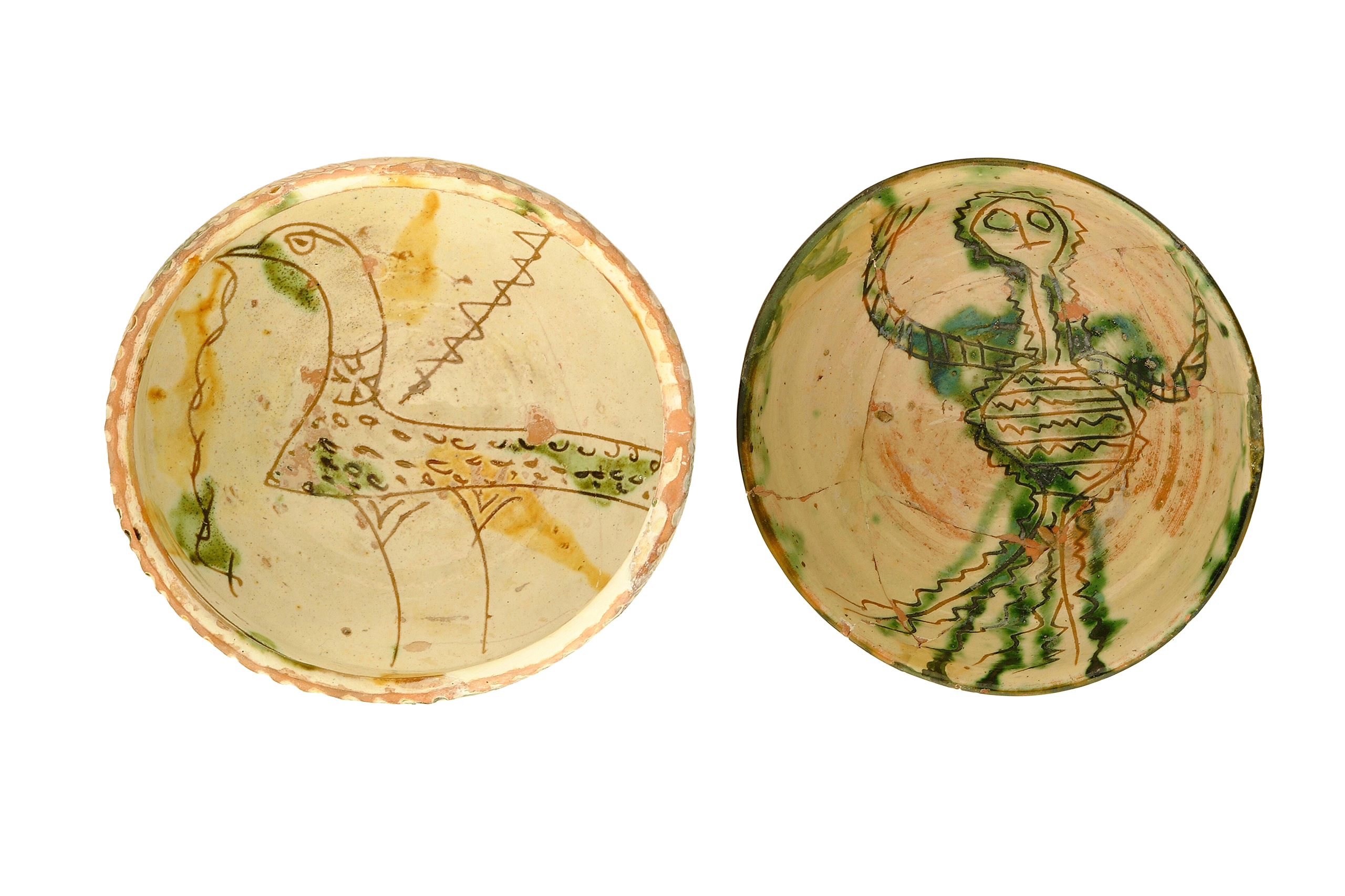
From ancient times, Lapithos became a center for processing copper and manufacturing earthenware. The city’s location gave it access to both mountain resources and sea trade routes. During the proto-Christian period from 25 BC to 250 AD, Lapithos experienced tremendous commercial growth because of abundant local produce, its harbor, and its shipyard.
The Famous Byzantine Treasures
Two separate hoards of Byzantine silverware buried at Lambousa became some of the most important archaeological finds in Cyprus. The treasures were likely hidden when Arab raiders appeared on the horizon in 653 to 654 AD. Local people chose to bury their valuables rather than surrender them to the invaders.
The First Cyprus Treasure was discovered accidentally in the late 1890s near the Acheiropoietos Monastery. Villagers quarrying ruins for building materials found a collection of liturgical silver objects. The hoard included a hexagonal censer stamped during the reign of emperor Phocas from 602 to 610, a silver bowl with the bust of a military saint dated to the reign of Constans II from 641 to 651, a paten, and 24 silver spoons. The entire treasure came into the possession of French aristocrat Maurice de Talleyrand-Périgord, who sold it to the British Museum in 1899.
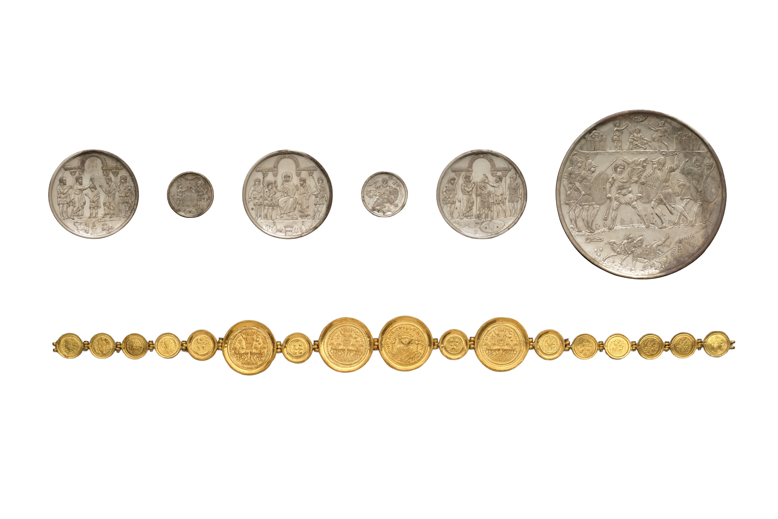
The Second Cyprus Treasure emerged in the early summer of 1902 in two separate finds near the village of Karavas. This hoard consisted largely of secular silver plates and gold jewelry. The most spectacular pieces are nine silver plates showing scenes from the life of David, known as the David Plates. These plates bear control stamps of emperor Heraclius dated between 613 and 630.
Most of the Second Cyprus Treasure was smuggled out of Cyprus and sold abroad. The pieces are now divided between the Metropolitan Museum of Art in New York, the Cyprus Museum in Nicosia, museums in Washington and London, and private collections. These treasures represent some of the finest examples of early Byzantine art and provide rare insight into the wealth and artistic sophistication of 7th century Lambousa.
Lemon Capital of Cyprus
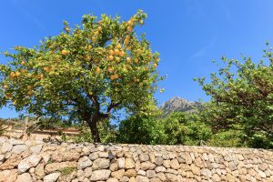
Lapithos became famous throughout Cyprus for its lemon production. The fertile soil and rich water resources created ideal conditions. The local variety known as Lemonia Lapithiotiki produced between 11 and 12 million lemons per year, the greatest production on the island. In springtime, the scent of lemon blossoms filled the air. The orchards gave the landscape its distinctive green color.
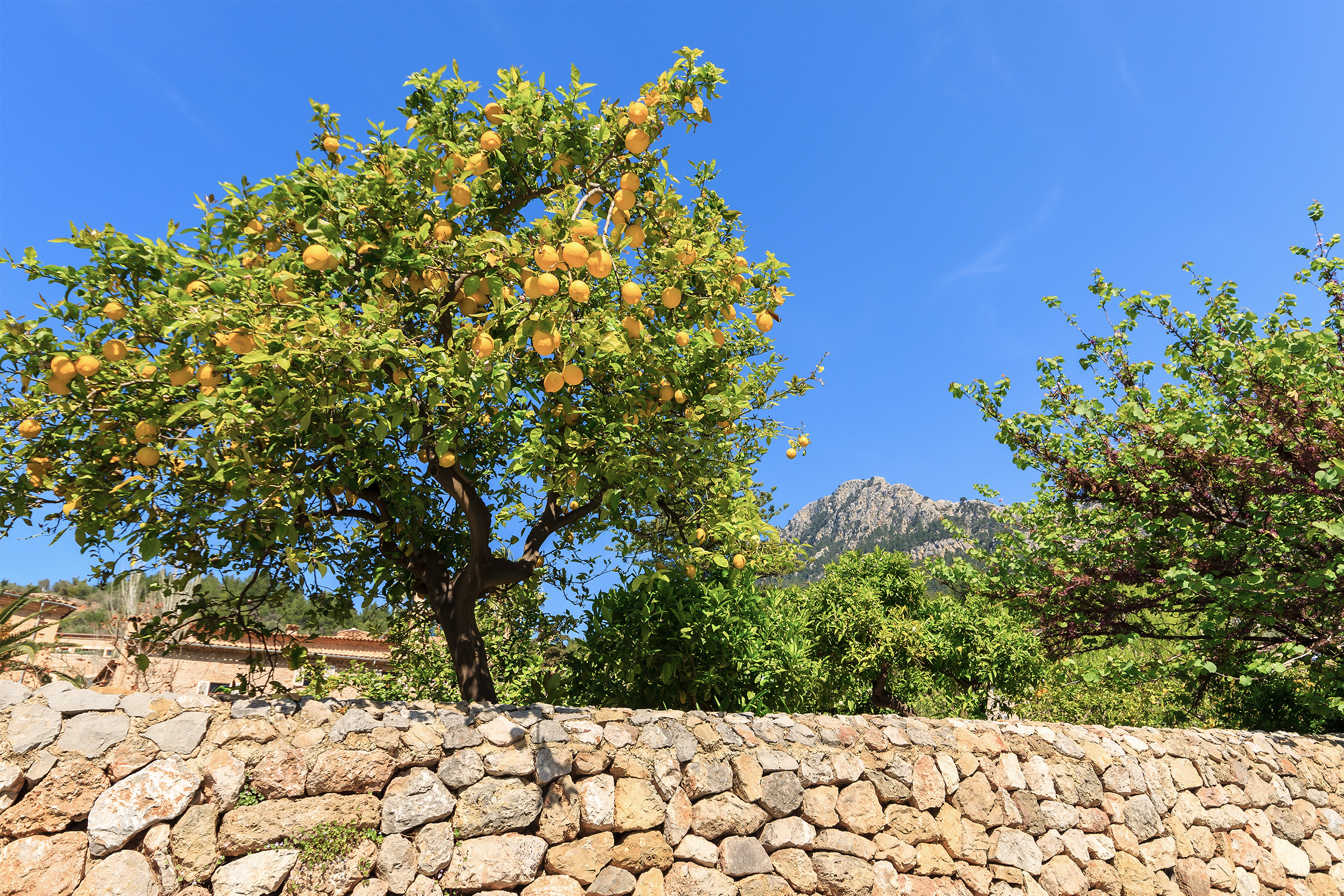
Besides lemons, water-loving plants, including pistachios and kolokas, were cultivated abundantly in the Lapithos plain. Olive trees thrived in the hilly areas. Carob trees provided what locals called black gold during times when commerce struggled. The town also developed a tradition of handicrafts, including embroidery on linen fabric using the cross-stitch technique, walnut wood chest production, and knife-making with handles made from goat horn.
Worth Knowing Facts About Lapithos
The Municipality of Lapithos was established in 1878 by the British as one of the ten new municipalities after they began ruling Cyprus. The municipality’s logo features a horned Athena, referencing an ancient coin found at Lapithos.
Before 1974, the town was administratively divided into six parishes. Each parish had its own civil and religious administration, community council, Greek Orthodox priest, and cemetery. The Upper Parishes of Ayia Anastasia and Ayia Paraskevi were collectively called the Pano Enories.
John Myres excavated tombs at Lapithos Vrysi tou Barba in 1913 on behalf of the Cyprus Museum. He descended 40 feet down Acropolis Hill to study the ruins. His field notebook, long thought lost, was later found and proved remarkably useful in reconstructing tomb plans and assemblages. Between 1991 and 1994, a German group working with the Antiquities and Museums Department converted the tomb area east of the ancient city into an open-air museum suitable for visitors.
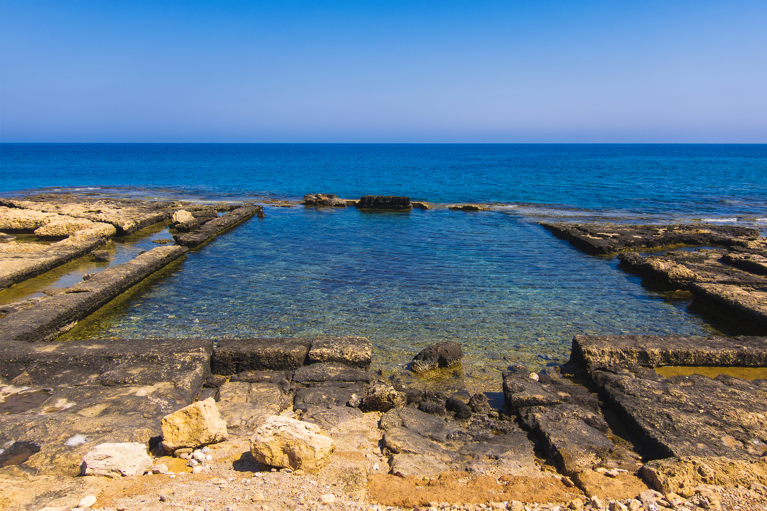
Ancient fish pools carved from rock during Roman times can still be seen at the coast near Lambousa. These pools featured a system of canals that allowed cool clean water to replace warm dirty water, keeping fish catches fresh. They represent the oldest known example of this type of fishing technology.
Patriarch Gregory II of Constantinople was born in Lapithos. This demonstrates the town’s importance as a place that produced significant religious leaders.
What Remains Today
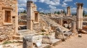
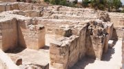
The modern town of Lapithos has been under Turkish Cypriot administration since 1974. The coastal ruins of ancient Lambousa include city walls, stone tombs carved from rock, Saint Evlalios Church from the 6th century, the Acheiropoietos Monastery from the 6th to 16th centuries, and the rock fish pools. Much of the archaeological site has been damaged over the centuries by grave robbers and stone quarrying.
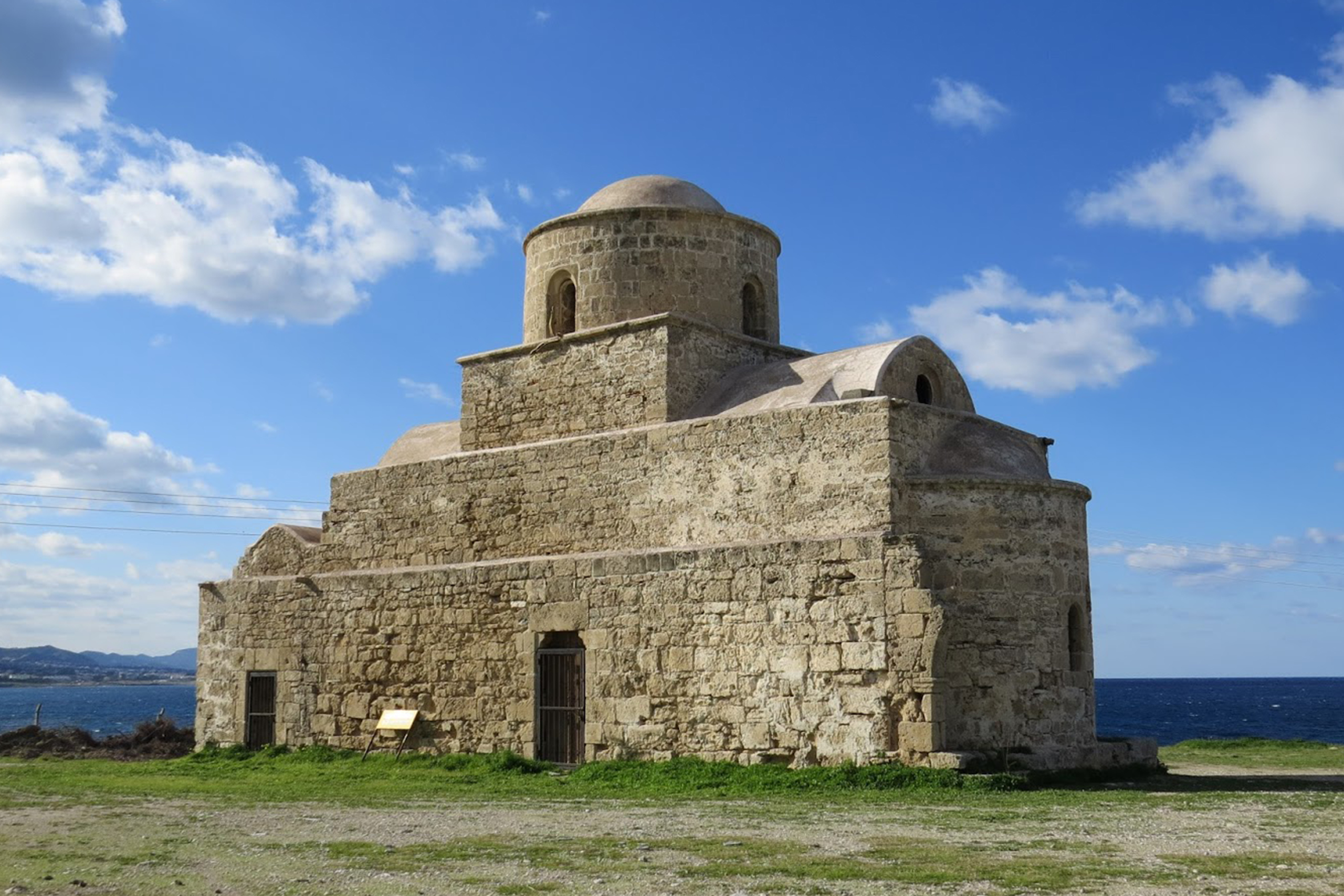
The structures visible at Lambousa show evidence of multiple building phases. Saint Evlalios Church was built on the ruins of an early Christian church. Four columns from the original church remain as part of the central arches. One column has a Byzantine cross engraved on it. Excavations revealed three different layers of mosaic tiles from the 6th, 11th, and 14th to 15th centuries, indicating the church was renovated multiple times.
The site has not been fully excavated. Significant portions of the archaeological record remain unexposed and unprotected. The political situation since 1974 has created a geographical imbalance in archaeological research, with a greater focus on the southern and southwestern parts of Cyprus. Many believe much of Lambousa’s wealth remains hidden beneath the ground.
Why Lapithos Matters to Cyprus
Lapithos provides a complete archaeological record spanning from the Neolithic period through the Byzantine era. Few sites on Cyprus offer such deep stratigraphic evidence of continuous occupation over millennia. The city’s role as a Bronze Age metallurgical hub and its participation in Mediterranean trade networks demonstrate Cyprus’s integration into larger economic systems from earliest times.
The Phoenician administration of a Greek city kingdom makes Lapithos unique. The mixture of Phoenician royal names, Greek cultural identity, and coins depicting Greek deities while bearing Phoenician inscriptions shows how different cultures coexisted and blended in ancient Cyprus. The administrative continuity from the Classical period through Hellenistic rule under the Ptolemies demonstrates the resilience of local institutions.