Pick up a stone almost anywhere in Cyprus and there is a fair chance it once lay two or three kilometres beneath an ocean. Stand on a Troodos peak and you are standing deeper than the deepest submarine canyon of the Mediterranean ever reaches today.
Walk along a riverbed in Paphos region after winter rains and you may notice greenish rocks polished smooth by water: the same minerals astronauts search for on Mars because they can form where life begins. Cyprus is not just an island with mountains. It is a place where the Earth accidentally turned itself inside out.
Geologists often say walking across Cyprus is like reading a history book backwards. Instead of digging down into the planet’s past, the past has been lifted up for you. You begin your journey on younger coastal plains and finish it on the deep mantle that once had lied beneath the seabed. You are quite literally walking on a vanished ocean floor. And the strangest part? This tiny island is connected, geologically, to the “rooftop of the world” the Himalayas themselves.
1. Where we are? But also, when we are?
On a map, Cyprus looks like a small island in the Eastern Mediterranean. In reality, it is a meeting point of continents, oceans, and geological time.
The Troodos Mountains rise in the centre not by coincidence. They are not a normal mountain range formed by folded land. They are the remains of an oceanic crust: the actual floor of a vanished sea.
The island sits exactly where once only water ruled: the vast prehistoric Neo-Tethys Ocean. About 90 to 60 million years ago, as modern-day Africa and India slowly drifted north, they collided with Eurasia. The ocean between them did not simply disappear. Its floor was squeezed, folded, and pushed upward. The ripple effect spread from Spain’s Pyrenees through the Alps, the Balkans, Anatolia, the Caucasus and all the way to the Himalayas, as mountain chains rose along this gigantic scar in the planet’s crust.
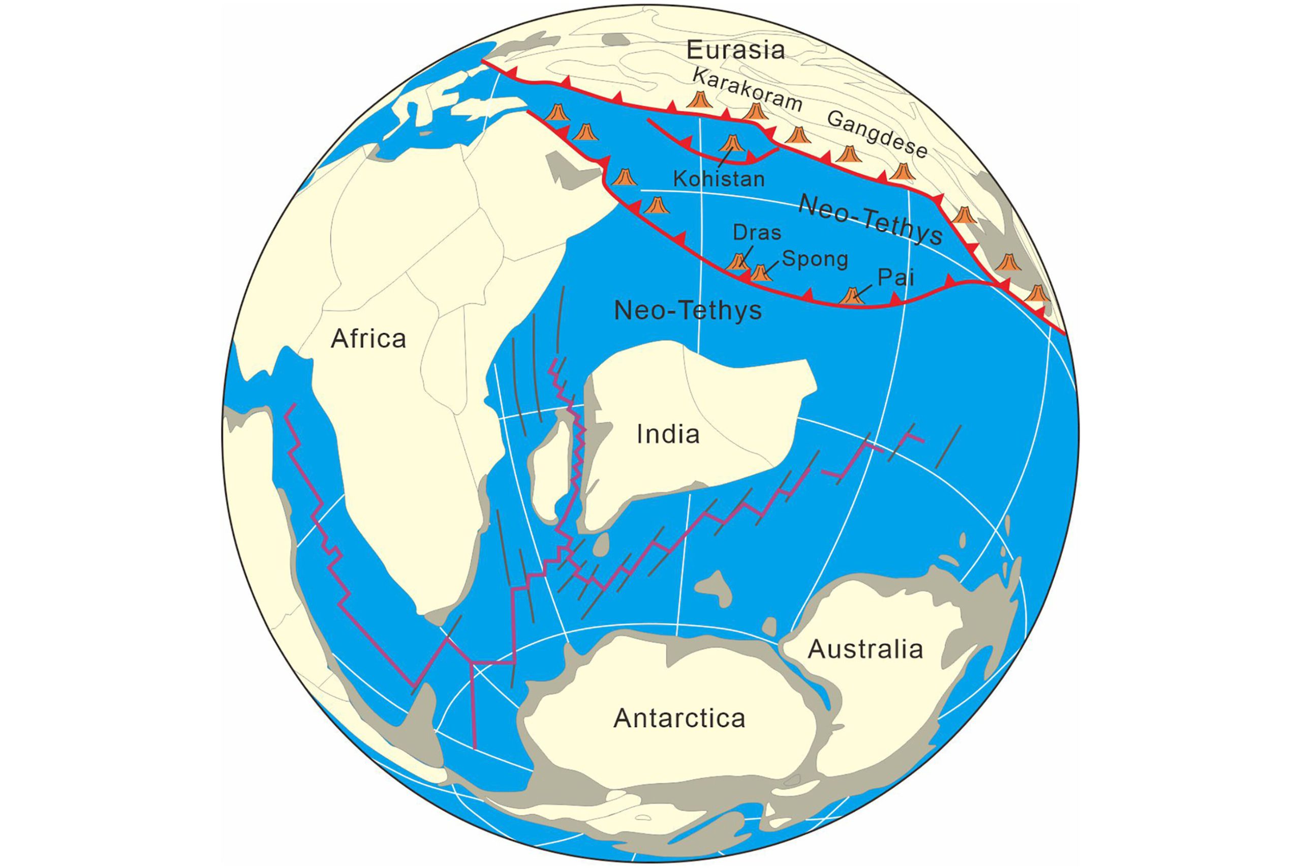
Cyprus is not isolated. It is a visible fragment of the same mountain-forming event that raised Everest. It is not a volcanic island and not a continental island. It is a piece of ocean crust caught between continents.
And uniquely, it is one of the few places on Earth where the internal structure of the this very oceanic crust is visible to the naked eye without drilling.
2. The deep origins: a snake-stone mountain
The core of Cyprus is of course the Troodos Ophiolite.
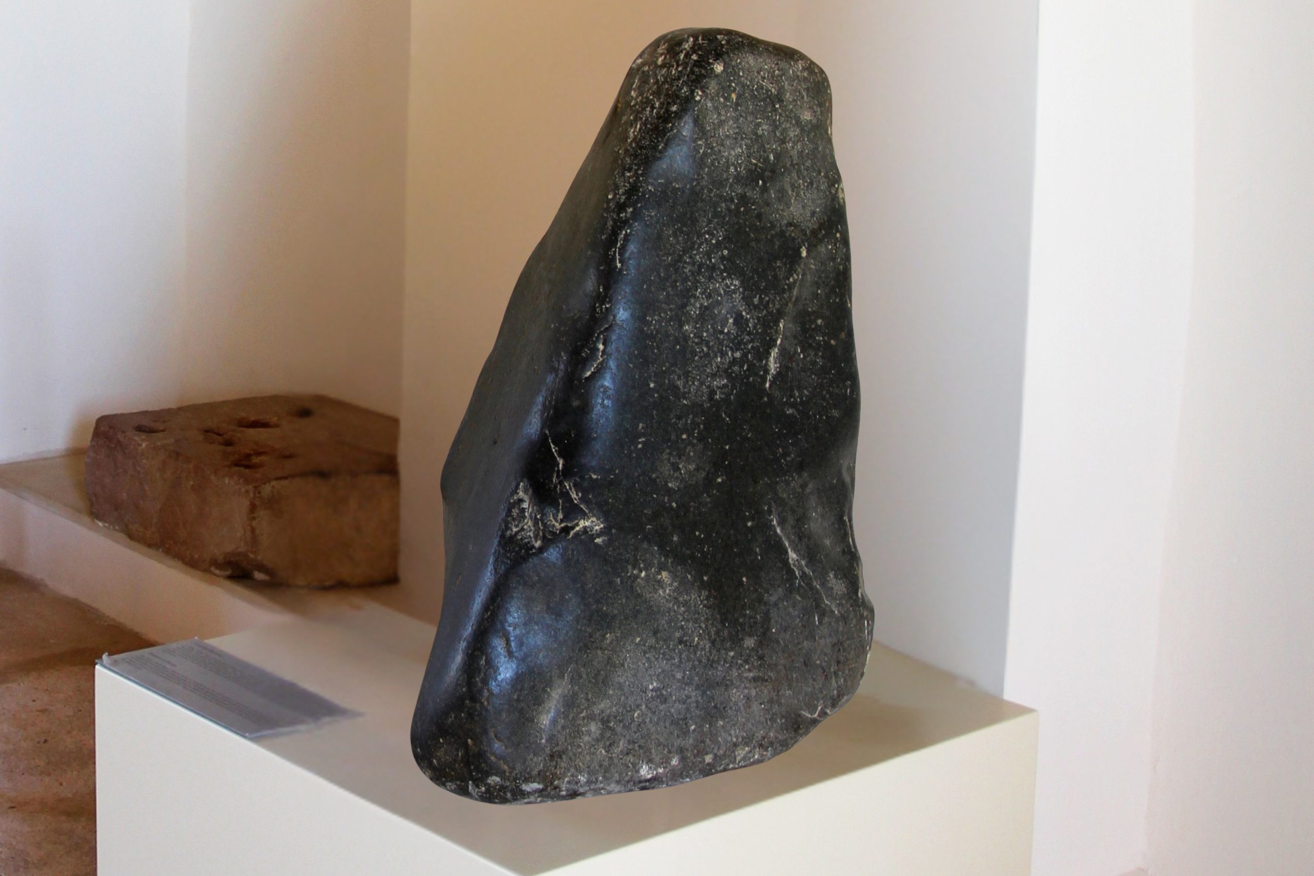
The word ophiolite comes from Greek: ophis (snake) and lithos (stone). Ancient observers noticed that certain green rocks looked like snakeskin: glossy, scaled, and patterned. These rocks are serpentinites, necessary components of any ophiolite globally. They are extremely rare and formed when hot plutonic mantle rock reacted with seawater in deep ocean fractures, a process called serpentinisation.

Today scientists believe such environments may have been one of the birthplaces of life on Earth. Chemical reactions in these rocks produce hydrogen and simple organic molecules the building blocks of living systems. In other words, the rocks of Troodos resemble environments where life itself may have begun.
It is a curious coincidence that Cyprus is also famous for snakes, including the blunt-nosed viper, living among these same serpentinite landscapes. Long before plate tectonics was understood, people already associated the green rocks with serpents. The name survived, and geology later confirmed the visual intuition.
What is ophiolite?
But what is ophiolite in scientific terms exactly? It is a word geologists use to describe a complete upside-down vertical section of the oceanic crust, that Troodos perfectly represents:
- At the bottom: ancient deep-sea sediments.
- Going a little bit higher: submarine lava flows, frozen waves of magma that once erupted underwater.
- Climbing higher still: sheeted dykes and massive gabbro, the petrified “plumbing system” of a spreading ocean ridge.
- And at the very top: plutonic mantle rocks, formed under enormous pressure and heat and the magic product of their metamorphosis: serpentinite, the snake stone itself.
Normally these lie kilometres below the seabed. In Cyprus, they can easily be seen during a weekend drive or hike. Few locations in the world display this structure so clearly.
For decades, geologists from around the globe have been coming to Cyprus not as tourists but as students of the planet itself. The island helped confirm the theory of plate tectonics, the idea that continents move and oceans open and close. Before Cyprus, this was theory. After Cyprus, it became evidence.
3. One island. Five different worlds. Geological zones of Cyprus
Geologically, Cyprus is anything but simple. Instead of one landscape, the island is a stitched-together collection of completely different pieces of the Earth: formed in different places, different environments, and even on different tectonic plates. Driving across Cyprus is less like travelling across a country and more like travelling across several planets.
The Mamonia Mélange. The African Fragment (West Cyprus)
Start in the Paphos district and you are already somewhere unusual. The rolling hills between Paphos, Polis and the inland villages are not ordinary mountains: they are geological wreckage.
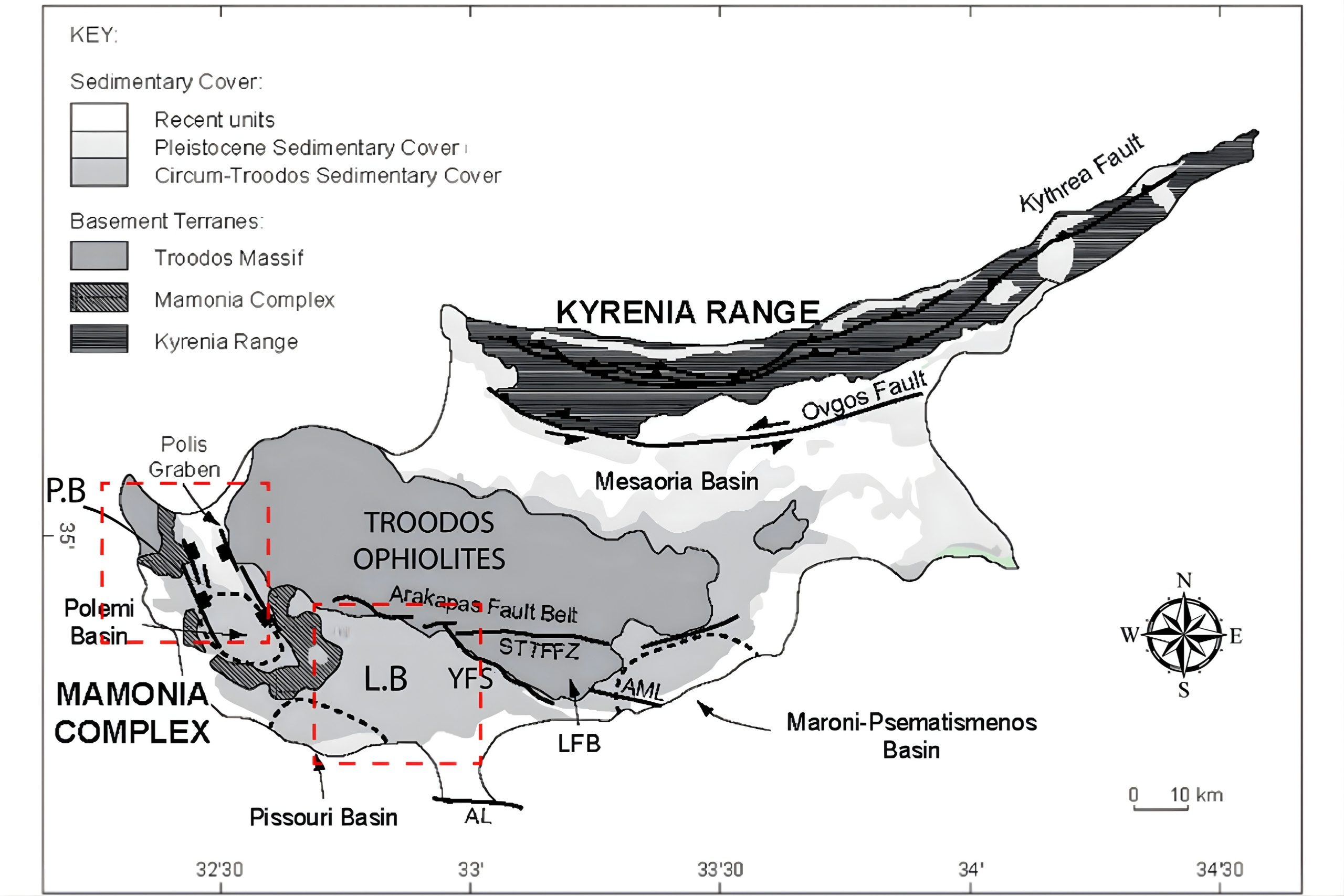
The Mamonia Mélange is twice as old as Cyprus itself. It had formed along the edge of the African continent long before the Neo-Tethys Ocean began closing. As plates collided, ocean sediments, volcanic rocks and metamorphic fragments were scraped off and crushed together into a chaotic mixture. And Cyprus exposes it beautifully.
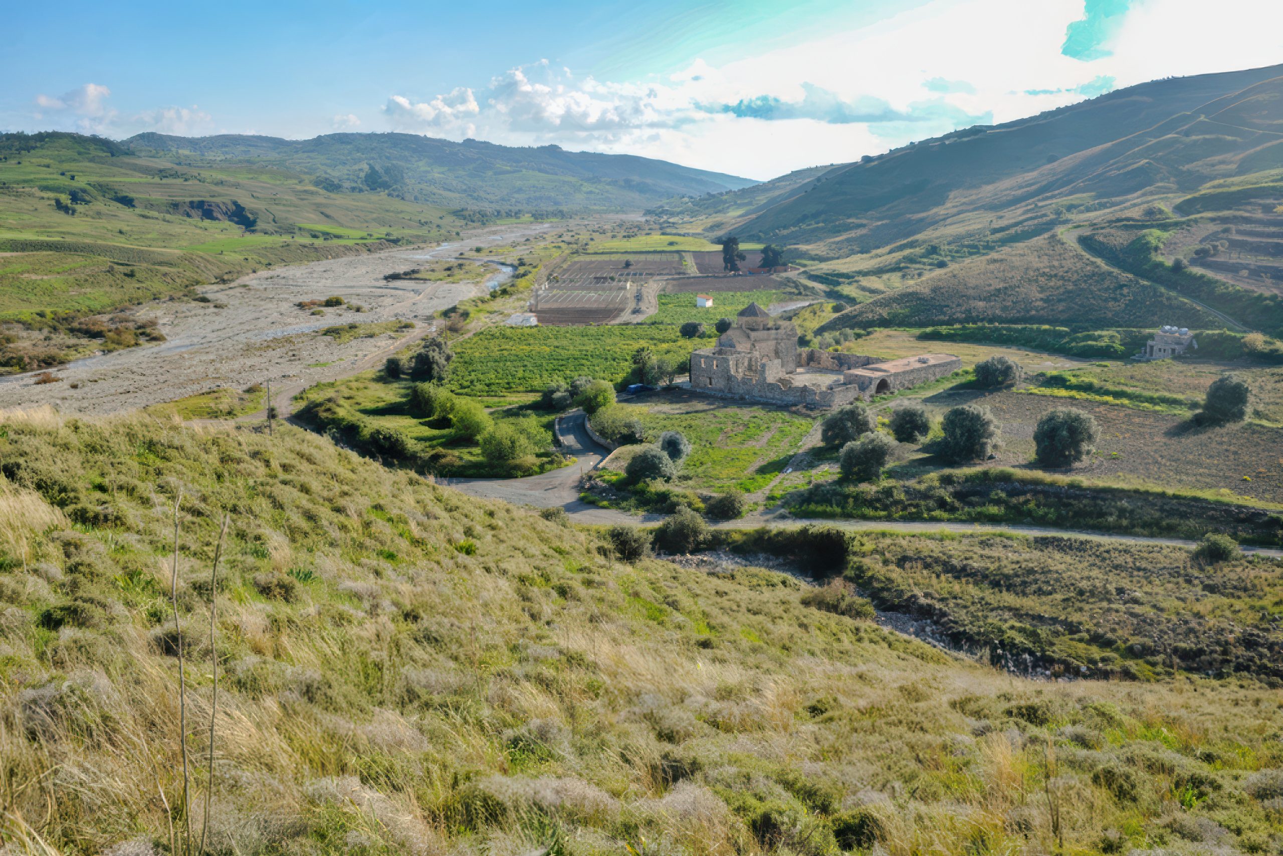
The deep river gorges of western Cyprus (such as Ezousa, Diarizos and Xeros) slice through these rocks like natural geological cross-sections. Walking along their beds, you pass from blue-green serpentinite to dark volcanic rock to pale limestone within minutes. This zone reaches all the way to the sea at Akamas.
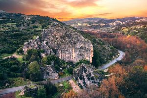
Some of Cyprus’s most famous geological landmarks are actually enormous, detached limestone blocks carried and deposited during this violent tectonic history. The Great Rock of Episkopi, the Rock of Aphrodite (Petra tou Romiou), the Rock of Chasampoulion and the Galataria Monolith are not just scenic, they are geological survivors, coral limestone giants transported and stranded as continents collided.
The Troodos Ophiolite. The Ocean Floor (Central Cyprus)
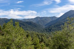
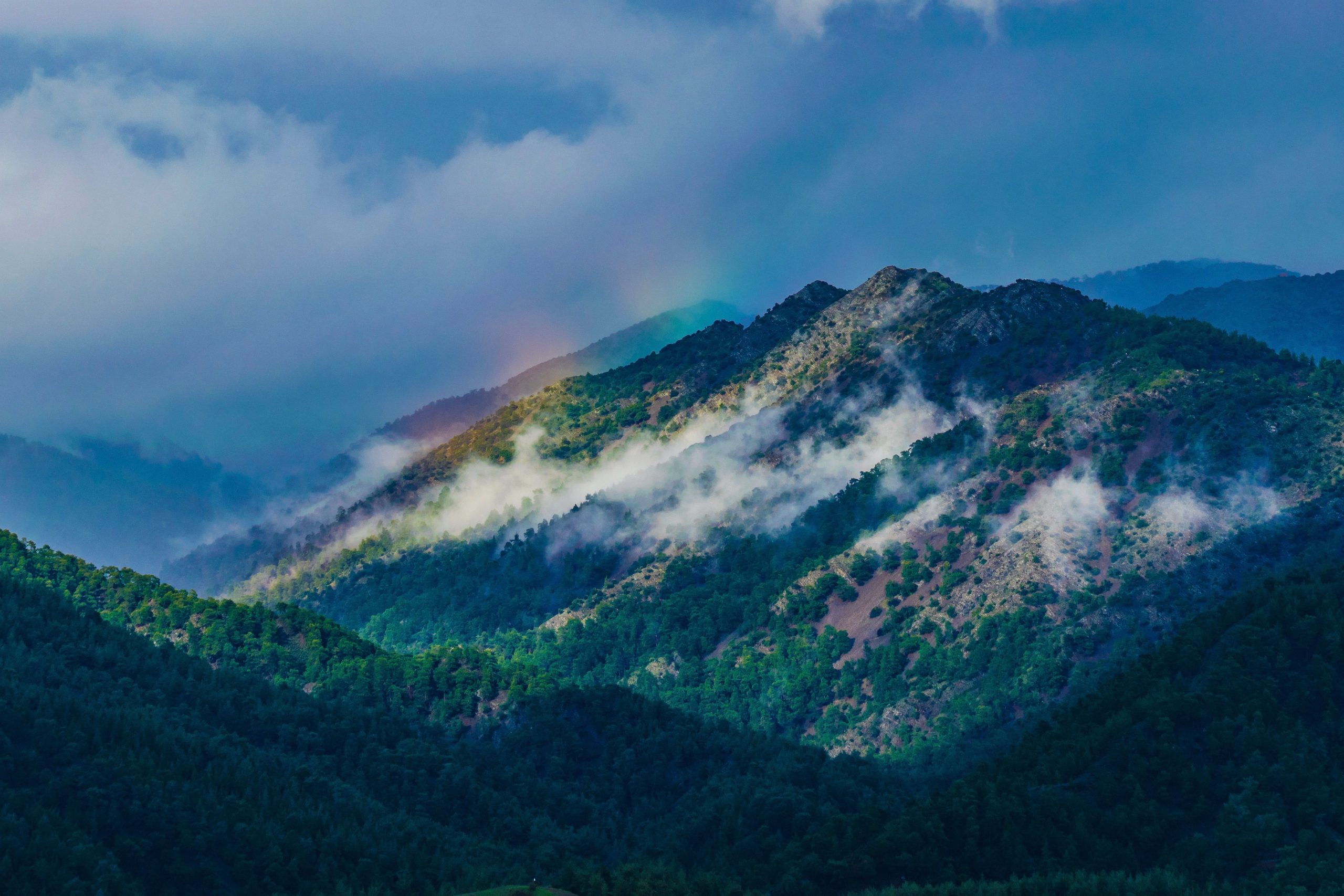
In the centre of the island rise Troodos Mountains, the true heart of Cyprus. This is not a normal mountain chain. It is the complete interior of an ancient oceanic crust pushed upward intact.
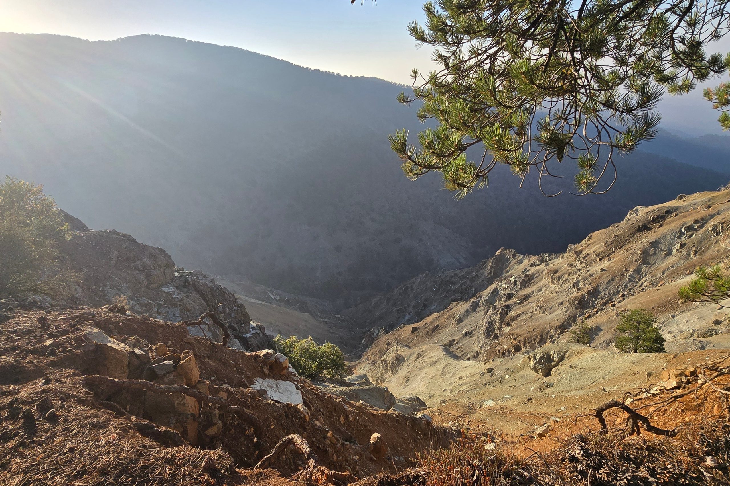
The mountains reveal its structure layer by layer. Going up towards Mount Olympus from any direction you first encounter dark, rounded pillow lavas that erupted underwater and cooled instantly into stacked bulbous forms. As the altitude rises, yellow-brown vertical bands will appear before your eyes known as sheeted dykes, where magma once rose through cracks in the crust.
On top of them you will see coarse dark grey gabbro, a basalt’s brother-rock that cooled slowly inside magma chambers. At the Mount Olympus’s crown of multiple summits and in sections of Limassol Forest, you will witness rusty-red, ash-black and bronze-yellow mantle peridotite rocks, materials that once existed near the boundary between the Earth’s crust and mantle. In places these rocks have altered into blue-green serpentinite, giving entire mountainous sides unusual colours unlike anywhere else on the island.
The colours alone tell the story. Troodos is not one rocky structure, but rather a geological spectrum, a natural map and laboratory of how oceans and continents are built.
Circum-Troodos Sediments. The Fertile Ring
Around the Troodos mountains lies a softer landscape: chalk, sandstones, marl and marine limestone deposited at later stages, after the ocean floor rose. This ring encircling Troodos is extremely important. It is some of the best agricultural land in Cyprus.
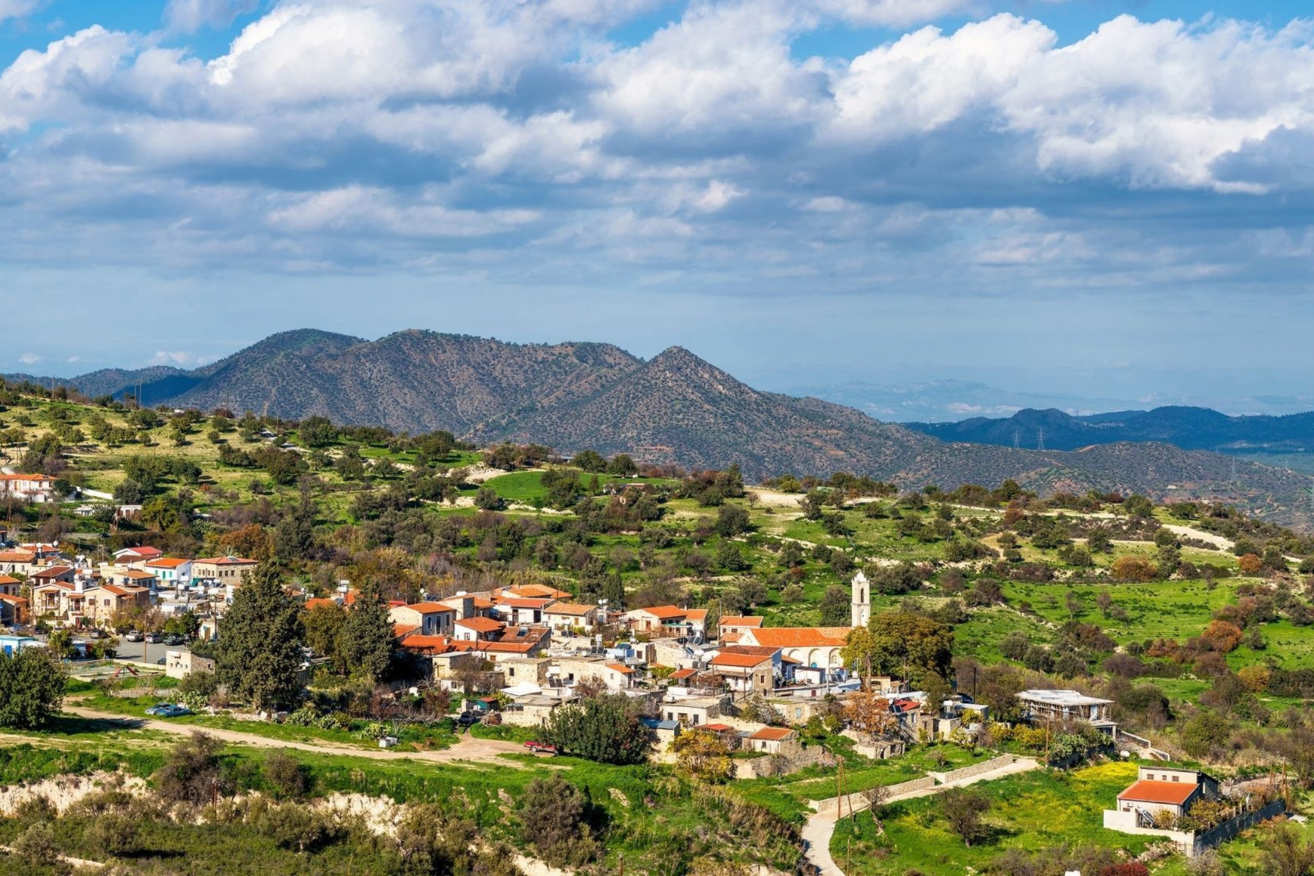
These rocks formed slowly at the bottom of a deep sea as microscopic organisms settled for millions of years. Today they produce vineyards, orchards and cultivated valleys. In many places springs emerge where porous limestone meets impermeable volcanic rock, the reason so many traditional villages formed exactly where they did. The mountains created the soils, and the soils created settlement.
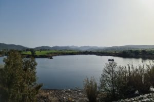
The Mesaoria Basin. The Former Seabed
Mesaoria, the broad plain between the Troodos Mountains and the Kyrenia Range is not just farmland. It is an ancient marine basin filled with younger sediments formed 1-20 million years ago.
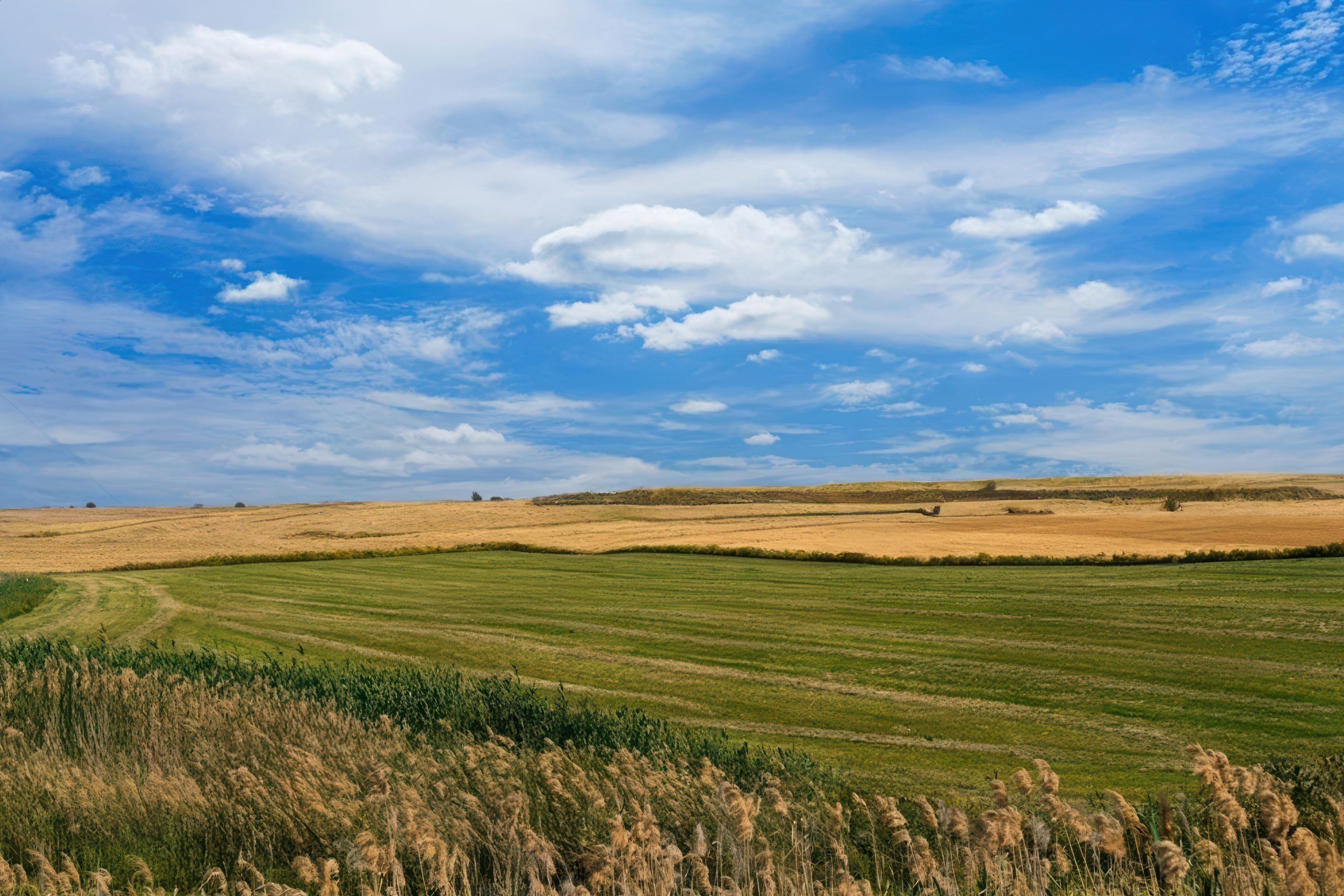
Even today, dried riverbeds in the Mesaoria can reveal seashells far from the coast. What looks like dry agricultural land was once a shallow sea.
The flatness that now supports fields, highways and the capital of Cyprus, Nicosia, is simply the quiet final chapter of a long geological story, the last water-filled depression left after the mountains rose.
The Kyrenia Mountains. The Stone Figures
Running along the northern coast, the Kyrenia Mountains form a completely different world again. Unlike volcanic Troodos, these mountains consist mainly of much older (250 to 135 million years old) dolomitic limestones, ancient coral reefs and shallow-sea deposits compressed and uplifted during later tectonic movement. The rocks here are pearly, marble-like and pale yellow, fractured and sculpted by erosion into shapes that often resemble walls, towers, and sometimes even human limbs and reclining figures.
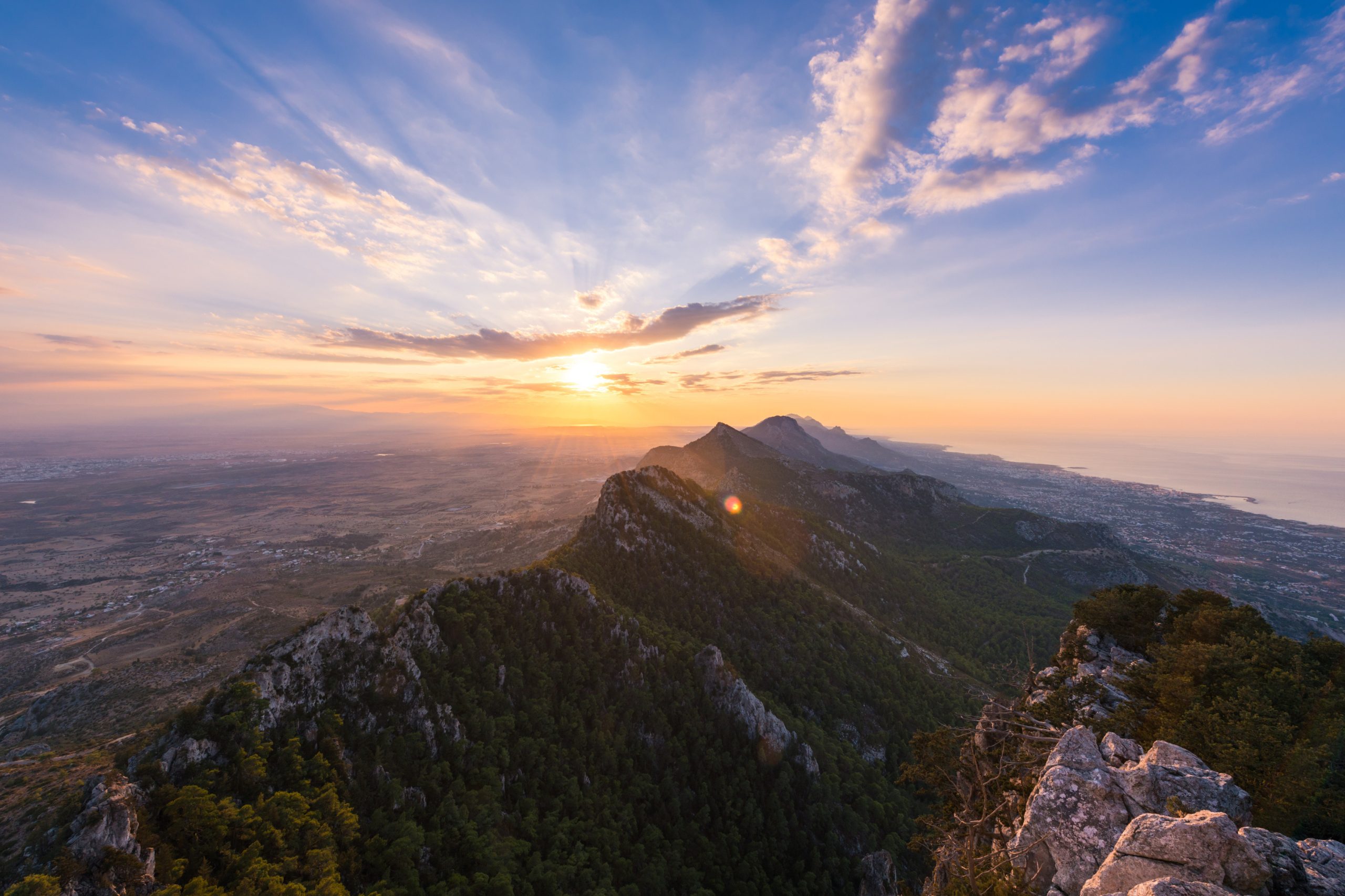
In certain light the ridges look almost architectural, as if carved deliberately. This is why many local traditions imagined giants, heroes, or sleeping figures turned to stone. Here you are not walking on an ocean floor, but on a gigantic, fossilised reef.
Cyprus is therefore not one geological story but five overlapping ones: African fragments, deep ocean crust, marine sediments, former seabed plains and uplifted reefs, all compressed into a single island you can cross in a single day.
4. How geology shaped life?
Cyprus became historically important largely because of metal. The metal. Hydrothermal fluids circulating through the hot oceanic crust of Troodos deposited copper and iron sulphides. When humans arrived, they found bright green and blue copper minerals exposed at the surface. The Bronze Age revolution (c. 3000-1200 B.C.) quite literally depended on Cyprus.
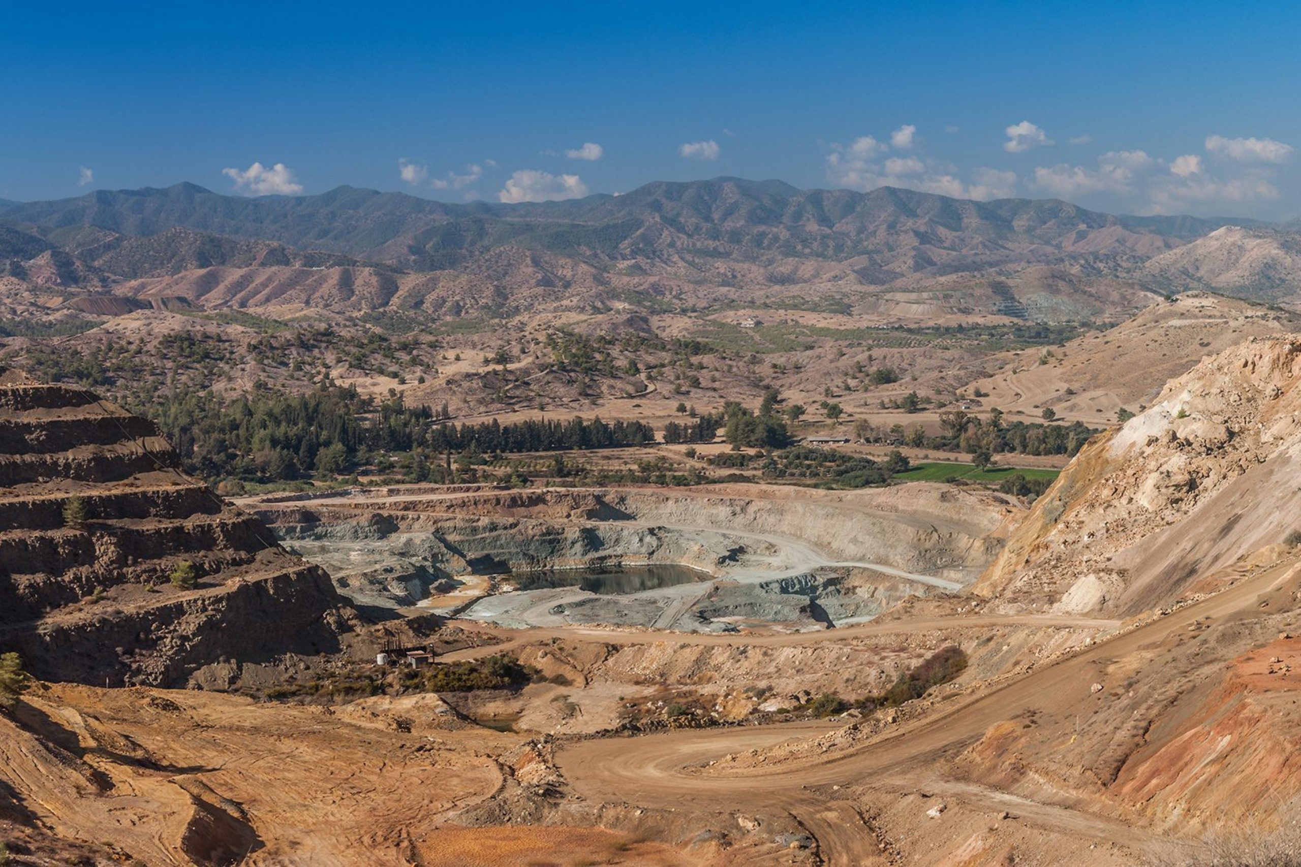
Copper was exported across the Mediterranean. Tools, weapons, trade networks and city-states relied on it. The Latin word cuprum (copper) is widely believed to come from aes cyprium, “metal of Cyprus”.
Mining settlements appeared in the mountains. Trade ports grew along the coast. Cyprus became one of the earliest industrial centres in human history.
And copper was not alone. Small deposits of gold and silver were also worked in antiquity, though never on the same scale. Iron, too, was known and used locally. But copper remained the defining metal: the economic heartbeat of the island for millennia. The island’s position in world history began underground and largely due to the island’s unique geology.
5. How people lived with the land?
Geology quietly organised daily life as well. Villages were rarely placed randomly. Settlements appeared where geology allowed water to collect, often at contact zones between rock types, near springs and river gorges.
Stone architecture followed geology as well. Different rocks created different aesthetics across the island. You can often tell where you are in Cyprus simply by looking at the walls of the houses around you.
Highland Troodos villages built with dark volcanic stone look entirely different from limestone villages in Paphos or the white-stoned villages of the Circum-Troodos regions. Even art reflects rock.
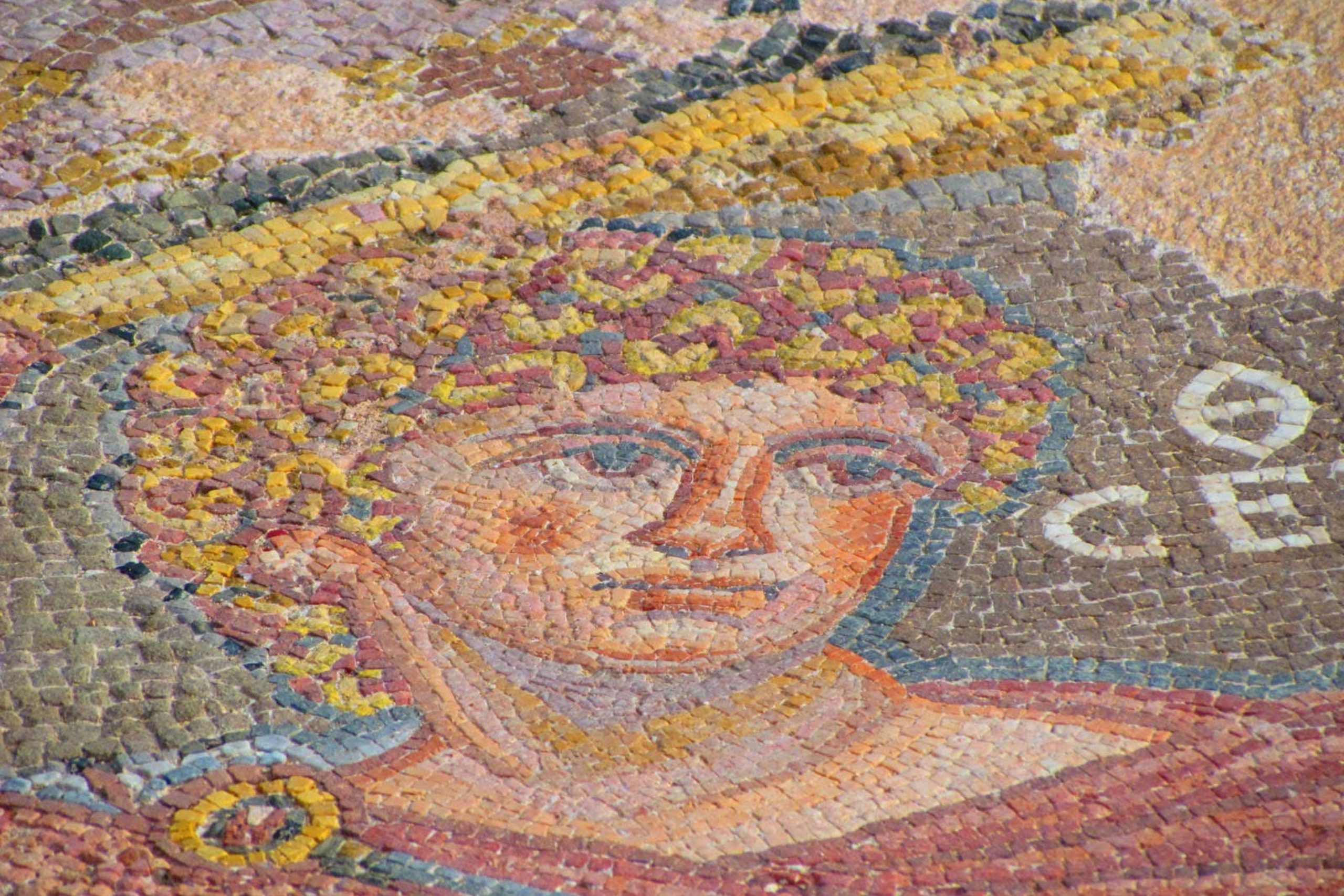
The famous mosaics of Paphos, Kourion and other ancient cities did not keep their colours by accident. Roman artists here worked not with artificial pigments but with naturally coloured stone. Tiny tesserae were cut from local rocks: dark volcanic fragments from the Troodos Ophiolite, pale limestones, and multi-hued stones from the Mamonia Mélange.
Because the colour belongs to the mineral itself rather than paint, it does not fade. What you see today is essentially the same palette a Roman visitor would have seen nearly two thousand years ago.
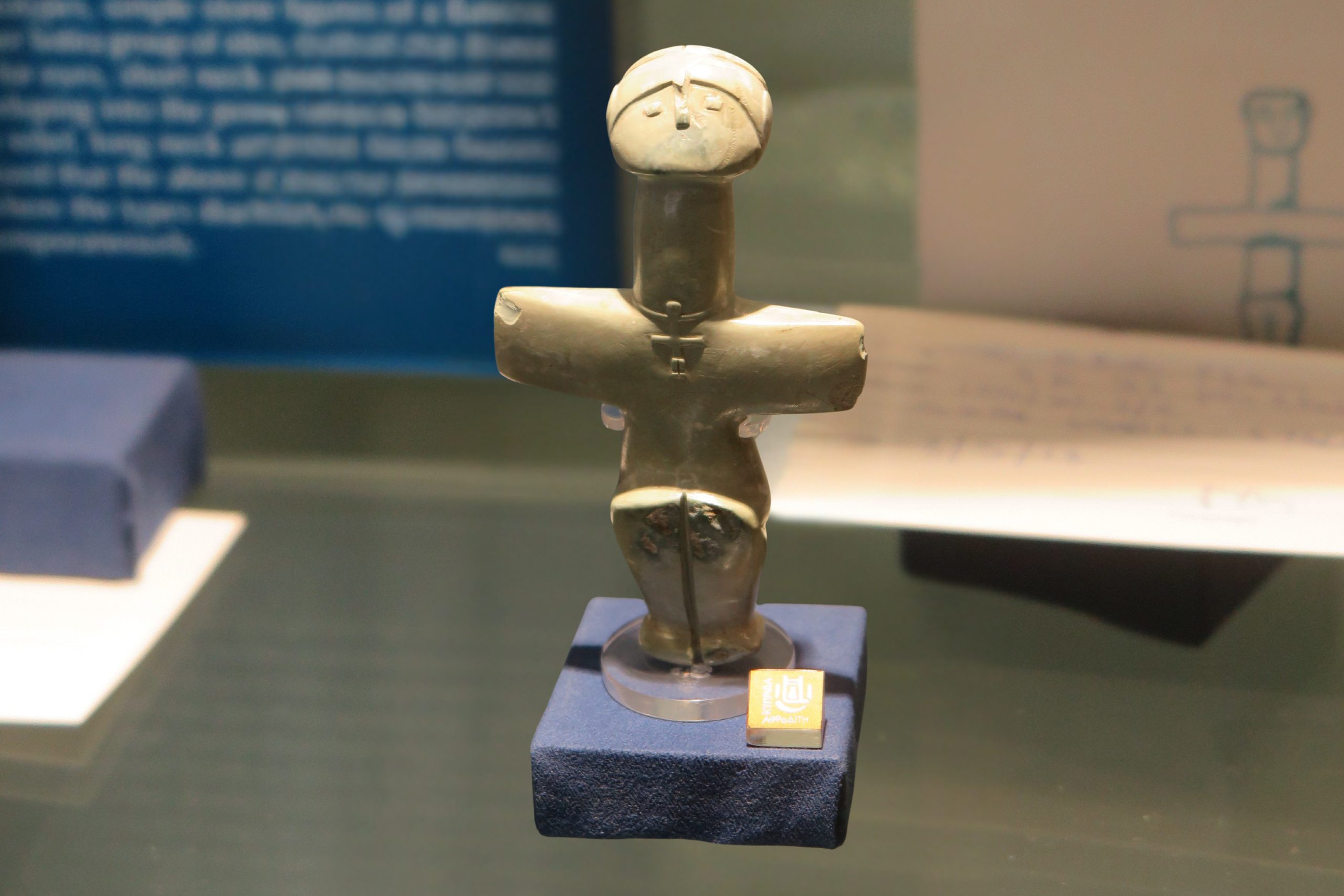
The same geology shaped even earlier art. The Pomos Idol, one of the oldest artistic sculptures in the Mediterranean and now a symbol of Cyprus (seen on one- and two-euro coins minted on the island), was carved from picrolite, a rare, smooth variety of serpentinite found high in the Troodos Mountains. This distinctive stone occurs almost nowhere else in the world, meaning the island’s prehistoric artists were already using its geology as both material and inspiration.
Geology influenced agriculture too. Vineyards flourished on poor, mineral soils where other crops struggled. Olive trees rooted in fractured rock. Carobs and almonds thrived in thin limestone soil where cereals failed. The land did not merely host Cypriot life. It designed it.
6. Folklore and living memory
Long before anyone tried to measure the mountains, the people of Cyprus tried to understand them. Troodos was never merely high ground. In village memory it was a place marked by fire, the “burned mountains”, where the earth had opened in a distant age and never fully settled. After winter rains, streams revealed smooth green stones unlike any other rock. These were taken home quietly. Some were set beside doorways, others placed near a child’s cradle, not as ornament but as protection.
Across the hills near the village of Pachna stand pierced monoliths, tall stones with openings worn through them. Until surprisingly recent times women would pass through these stones seeking healing and the blessing of children. Travellers recorded that infertility, illness, and misfortune could be lifted by moving through the rock itself. Later, people began tracing a cross before doing so, but the act remained the same. The faith had changed; the ritual had not.
At Kouklia, the sanctuary of Aphrodite centred not on a statue but on a sacred stone altar. And at Petra tou Romiou, the Rock of Aphrodite itself, visitors still circle the shore and collect pebbles, repeating gestures far older than any church.
People had not always known about ancient oceans or mantle rock. But they recognised something essential the power was believed to live inside the stones of Cyprus.
7. A small island, a very large story
It is easy to think of Cyprus as beaches, villages and ruins. But beneath every path, vineyard and monastery lies something far older than civilisation. The copper that drew empires here, the soils that fed orchards, the springs that placed villages, even the stones used for temples and churches, it all began long before people arrived. Human history on the island did not start the story. It entered it midway.
In a single day you can walk or drive from a former coral reef to a deep-ocean crust, cross a vanished seabed, and end beside monoliths once treated as living things. Few places on Earth compress such a span of planetary time into such a small space.
Cyprus is therefore not just a historical landscape, but a geological one. A rare place where the formation of oceans, mountains and continents can be seen without instruments, diagrams or laboratories.
The island reminds us of a quiet perspective: kingdoms, religions and cities rise and fade, yet the ground beneath them moves slowly on. And here in Cyprus, unusually, that slow movement has surfaced, leaving the inner workings of the Earth open to anyone willing to walk, look and notice.