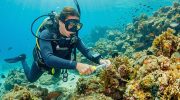
Salt Flats and Coastal Wetlands (Larnaca, Limassol, Akrotiri) are crucial ecosystems in Cyprus, serving as vital stopovers for migratory birds, habitats for flamingos, and homes to brine-adapted flora, holding international significance for biodiversity. These areas, including Larnaca Salt Lake, Limassol’s Akrotiri Wetlands, and related sites, form interconnected zones where saltwater and freshwater mix, creating unique conditions that support thousands of species. They highlight the island’s role as a Mediterranean biodiversity hotspot, where natural processes and human history intersect to foster life in challenging environments.
- A Vital Ecosystem in the Mediterranean
- Formation Through Geology and Climate
- Features of Salt Flats and Wetlands
- Notable Aspects That Highlight Its Uniqueness
- Deeper Ecological and Cultural Impacts – Biodiversity
- Salt Flats and Coastal Wetlands in Cyprus Today
- Opportunities for Exploration
- A Wetland of Migratory Life
A Vital Ecosystem in the Mediterranean
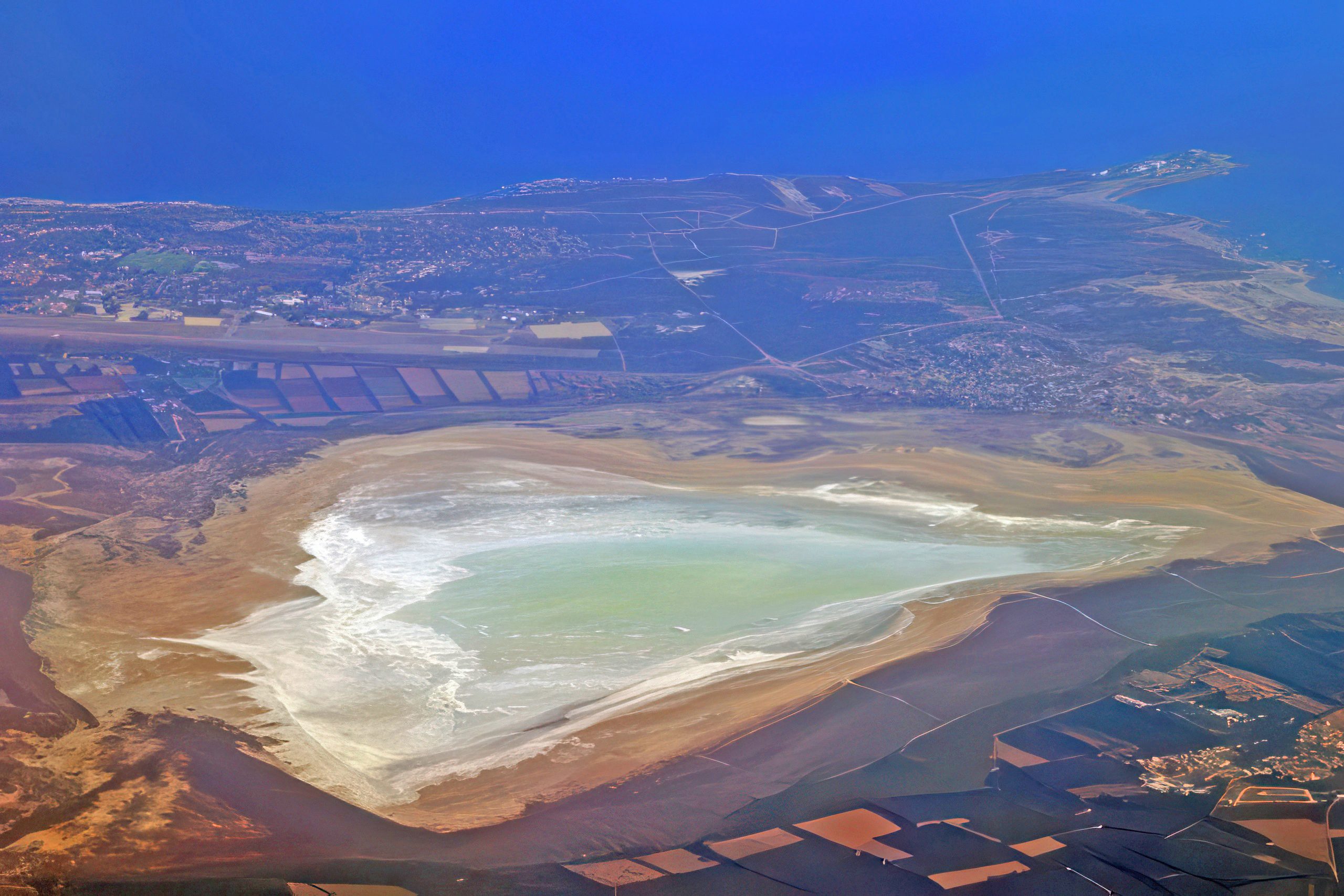
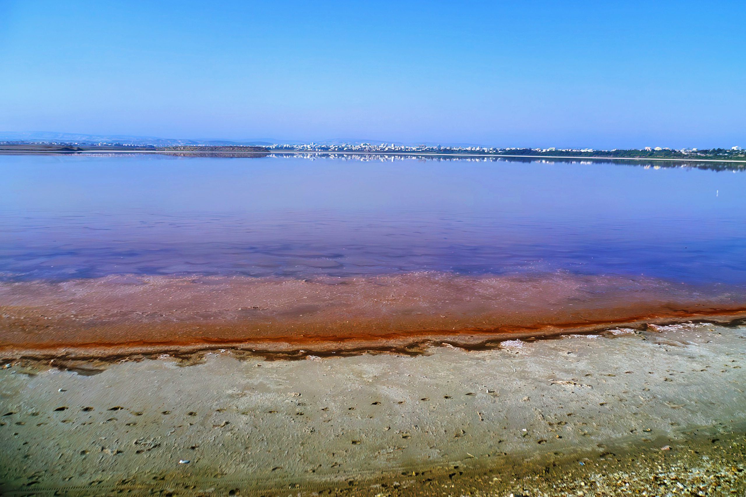
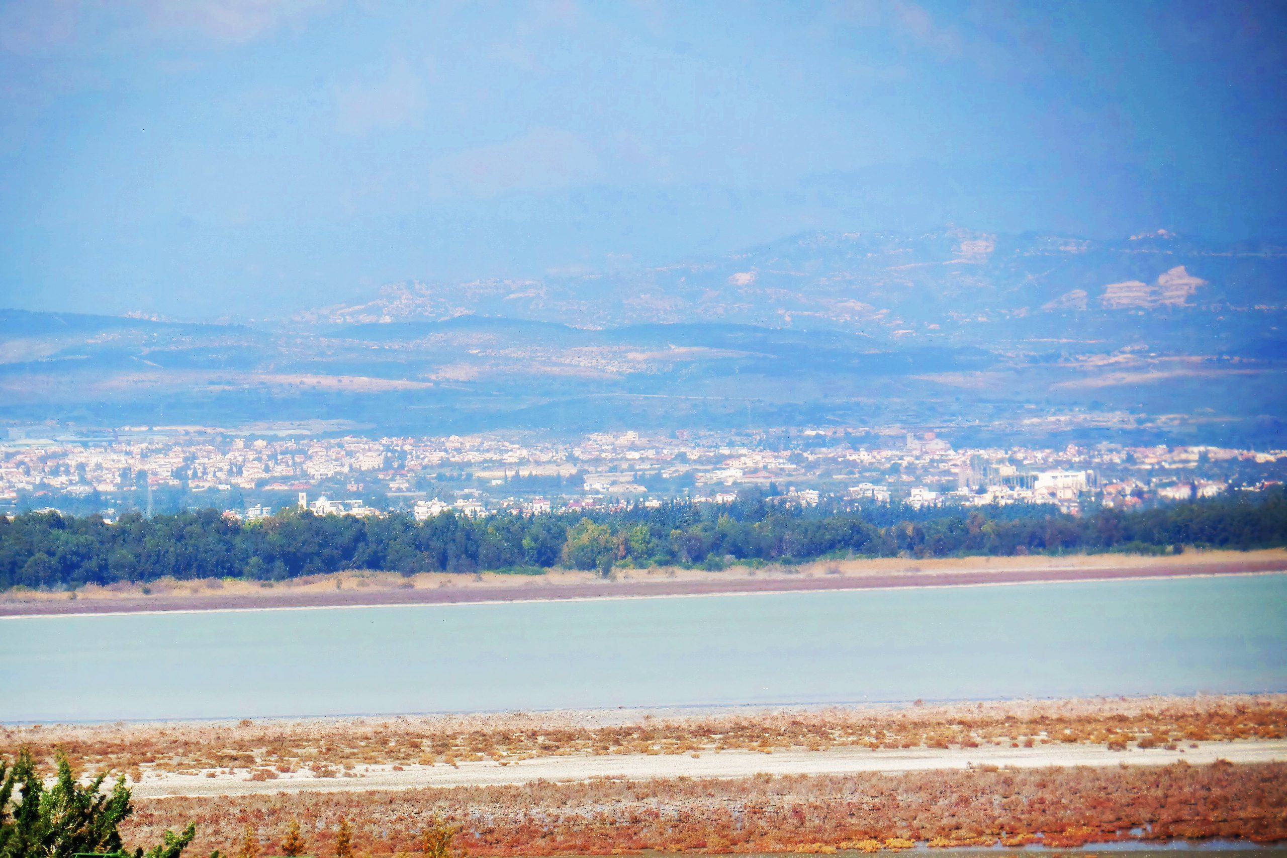
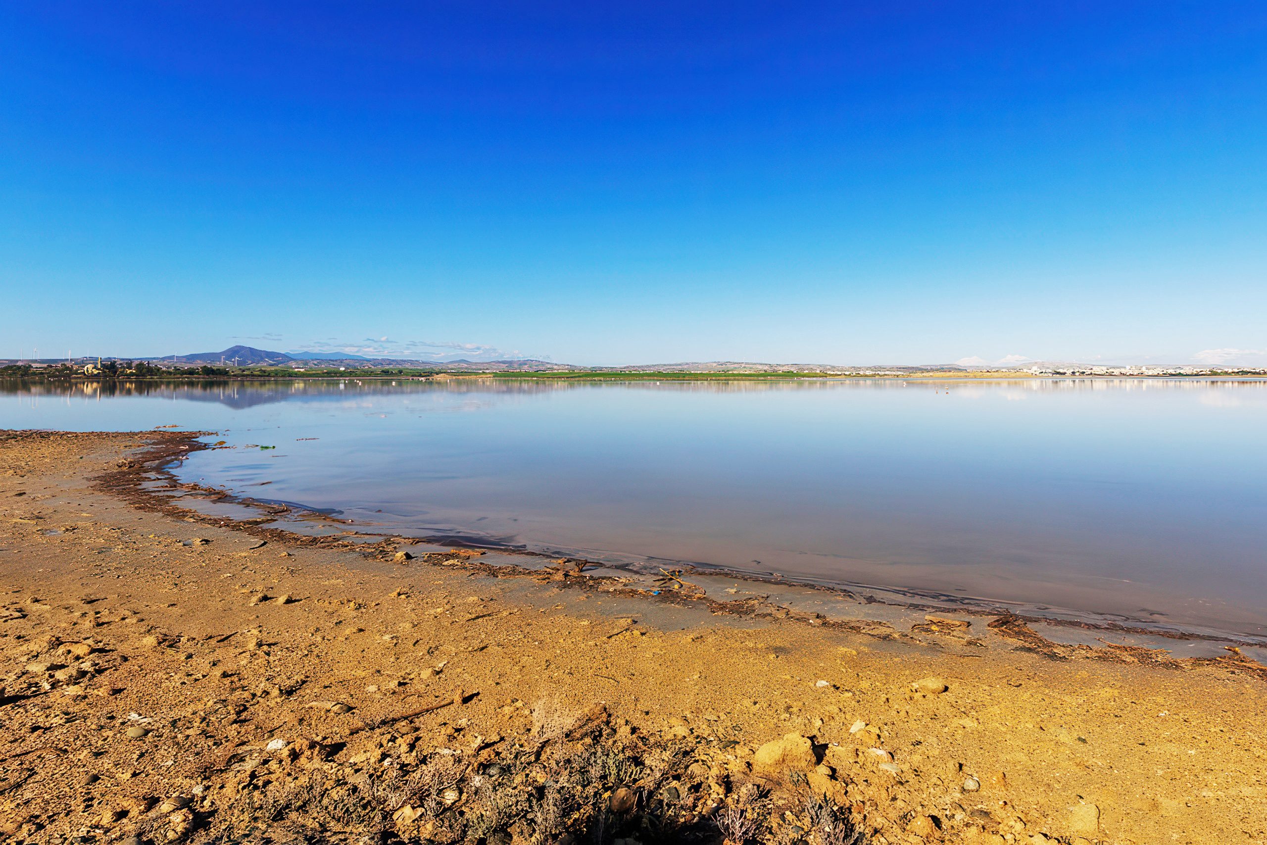
Salt flats and coastal wetlands in Cyprus represent dynamic landscapes where land meets sea, characterized by shallow saline lakes, marshes, and mudflats that fluctuate with seasons. Larnaca Salt Lake, the largest inland wetland at 2.2 square kilometers, dries to a white crust in summer but fills with winter rains, hosting algae that tint waters pink. Limassol’s Akrotiri Peninsula, covering 150 square kilometers, includes brackish lagoons and reed beds, while smaller sites like Oroklini add diversity. These zones support migratory birds numbering over 10,000 annually, flamingos that winter in flocks of 20,000, and brine-adapted plants like halophytes that thrive in salty soils. Their international significance stems from Ramsar Convention protection since 1997, recognizing them as wetlands of global importance for conservation and sustainable use.
Formation Through Geology and Climate
These wetlands formed during the Holocene epoch around 10,000 years ago, as sea levels stabilized and river sediments created shallow basins, per geological studies by the Cyprus Geological Survey. Tectonic activity shaped Akrotiri as a tombolo, connecting it to the mainland, while Larnaca Lake resulted from blocked river mouths. Historical climate data from pollen cores show shifts from wetter Pleistocene conditions to current semi-arid patterns around 5,000 years ago, with summer evaporation concentrating salts.
Ancient Cypriots, from Neolithic times (7000 BC) at Cape Andreas, used wetlands for shellfish, as middens suggest. Bronze Age (2500 BC) settlements at Hala Sultan Tekke near Larnaca exploited lakes for salt trade, with exported blocks to Egypt. Byzantine era (4th-15th centuries AD) texts like the 12th-century “Life of Saint Spyridon” describe flamingos as “fire birds” in salty waters. Lusignan rule (1192-1489) harvested salt for export, with chronicles noting winter floods. Venetian (1489-1571) engineers drained parts for malaria control, while Ottoman (1571-1878) farmers used reed for roofing, as Ali Bey noted in 1806.
British colonial rule (1878-1960) mapped them for health, with 1920s reports promoting drainage but recognizing bird value. Post-1960, conservation began, with Ramsar designation in 1997 protecting 2,171 hectares at Larnaca.
Features of Salt Flats and Wetlands
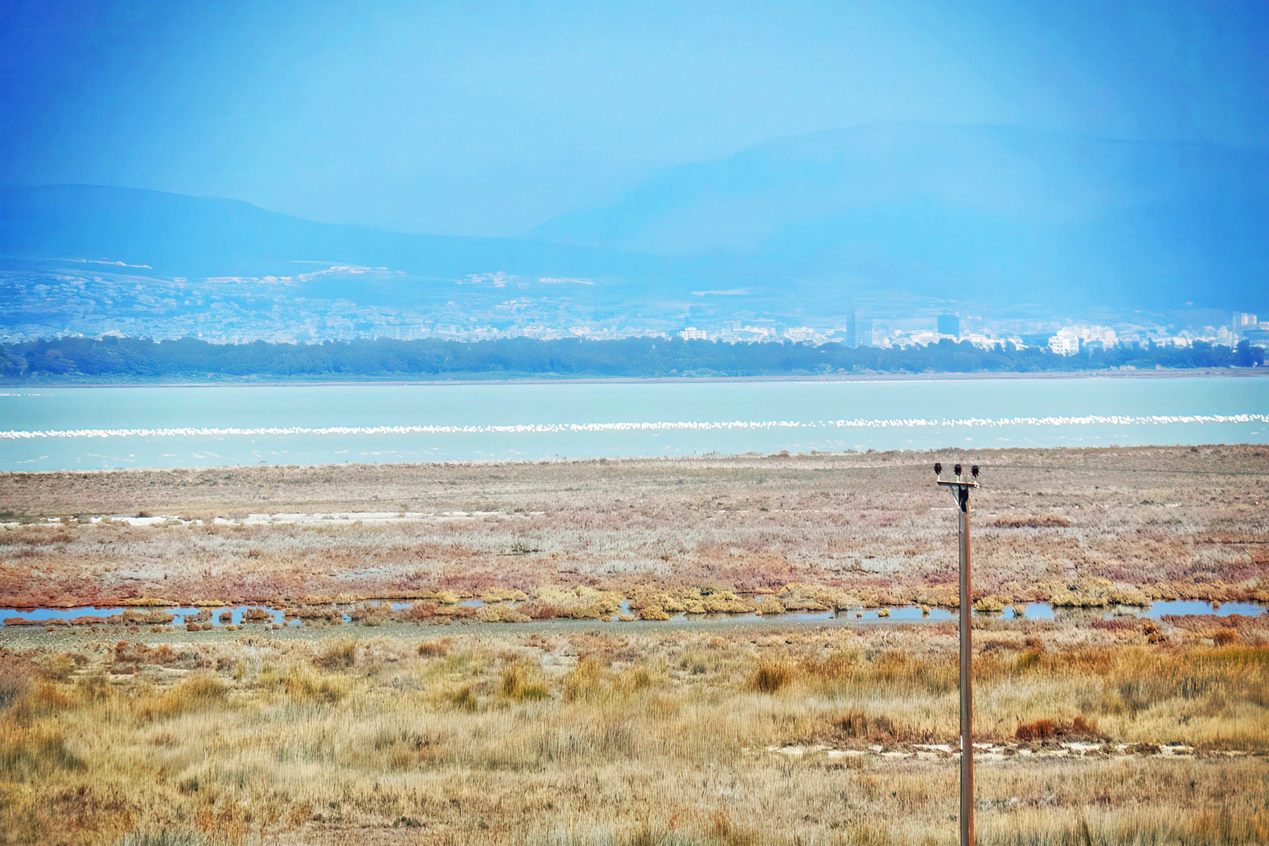
Salt flats like Larnaca’s crust form from evaporation, with salinity up to 200 ppt supporting Artemia shrimp that feed flamingos. Coastal wetlands in Akrotiri include Phassouri Reed-beds, with phragmites reeds filtering water and providing nests. Brine-adapted flora like glasswort (Salicornia europaea) absorbs salt, turning red in autumn, while tamarisk trees stabilize dunes. Migratory birds, 345 species recorded by BirdLife Cyprus, use them as stopovers on Africa-Europe routes, with peaks of 20,000 waterfowl in winter.
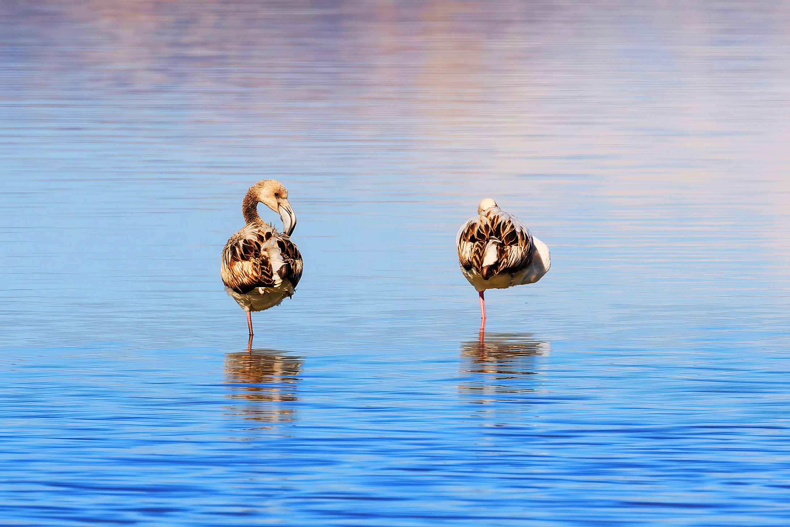
Flamingos (Phoenicopterus roseus) filter-feed on shrimp, tinting pink from carotenoids. Biodiversity includes 90 plant species at Larnaca, 20% halophytes.
Notable Aspects That Highlight Its Uniqueness
One captivating feature is Larnaca’s pink hue from Dunaliella algae in summer, attracting photographers. Akrotiri holds Cyprus’s wetland record with 200 bird species yearly. Brine flora like sea lavender blooms purple in spring, a sight in May. And legends claim salt lakes were Aphrodite’s tears, tying to myths in ancient texts like Ptolemy’s Geography (2nd century AD).
Fauna adaptations include the greater flamingo’s salt glands for desalination, studied by Wetlands International since 1990 with flocks up to 15,000. Rains create temporary pools for amphibians like marsh frogs.
Deeper Ecological and Cultural Impacts – Biodiversity
These ecosystems conserve biodiversity, with salt flats filtering pollutants and wetlands mitigating floods, reducing erosion by 60% per environmental reports. They support pollinators like bees on cistus flowers, aiding 80% of local plants. This fosters food chains: shrimp feed birds, bird droppings enrich soils for flora.
Culturally, salt was traded as “white gold,” influencing myths like saline tears for lost lovers. Socially, it provided livelihoods – Ottoman salt harvesting, British export – and cuisine, with salted fish traditions. The climate’s balance has sustained habitats, with 150 bird species wintering, but climate change risks salinization from sea rise, per EU reports predicting 20% wetland loss by 2100.
Human impacts include ancient evaporation pans at Larnaca, used for salt since 1000 BC, as studied in geoarchaeology by Frank Koucky.
Salt Flats and Coastal Wetlands in Cyprus Today
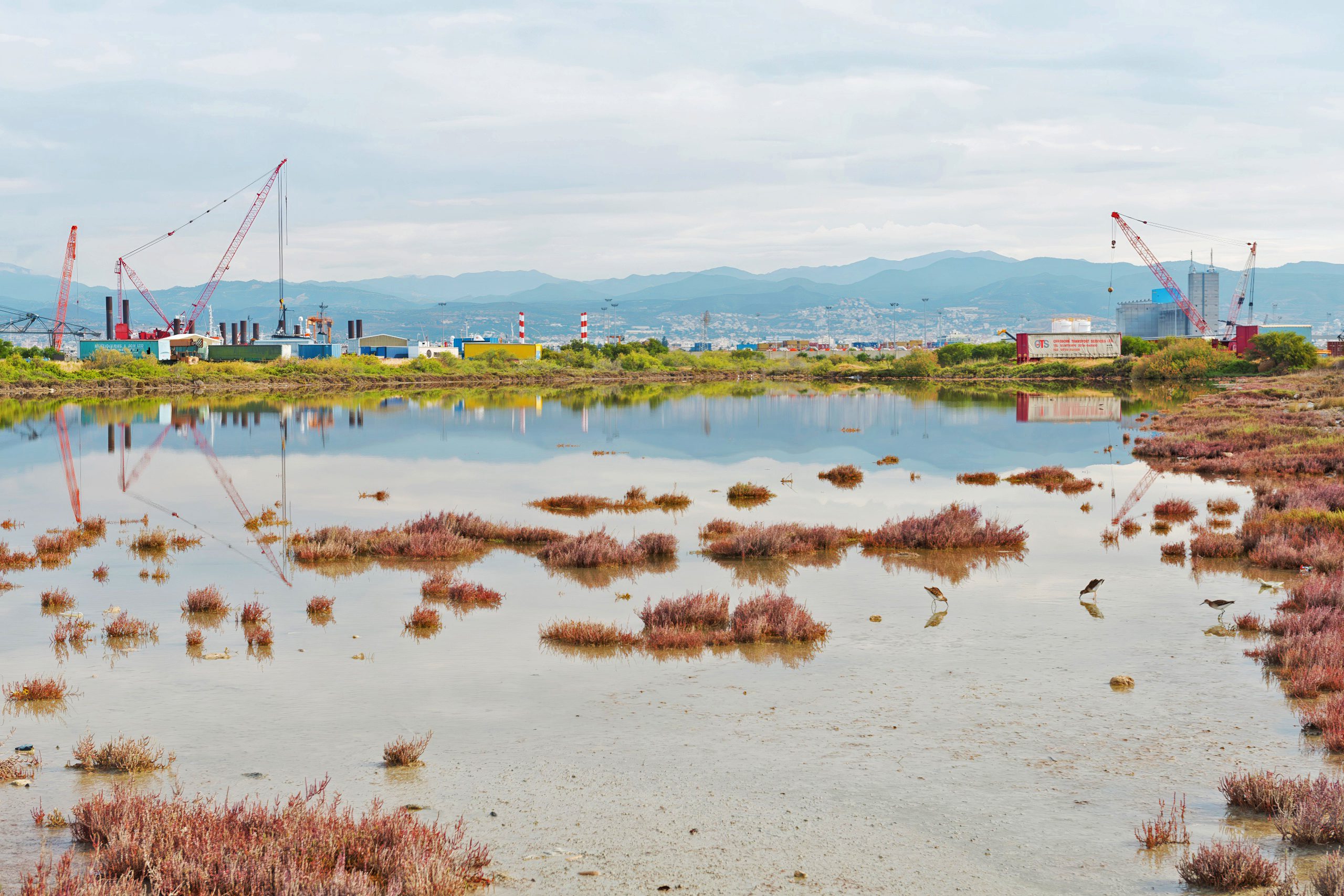
Salt flats and wetlands continue to define Cyprus’s coasts, with Larnaca Lake supporting tourism – over 100,000 visitors annually for flamingo watching. Climate change alters patterns, with summers 2°C hotter since 1960, leading to higher salinity stressing flora. Biodiversity faces threats, with conservation by BirdLife Cyprus monitoring flamingos since 1979.
Wetlands like Akrotiri, protected by Ramsar since 1997, host eco-tours promoting sustainability. Modern adaptations include reed harvesting for crafts, generating €500,000 yearly. This ecosystem shapes identity, with festivals like “Wetland Day” in Limassol celebrating birds, blending ancient rites with contemporary conservation.
Opportunities for Exploration
Larnaca Salt Lake offers boardwalks for birdwatching, open year-round with free entry. Guided wetland tours by the Cyprus Tourism Organization cost €15-20 to see flamingos. Winter visits to Akrotiri include eco-walks in January, no fee. Spring flora hikes in Limassol pair with village stays for insights. Many sites have online cams for remote viewing.
A Wetland of Migratory Life
Salt Flats and Coastal Wetlands (Larnaca, Limassol, Akrotiri), crucial for migratory birds, flamingos, and brine flora, hold international significance for biodiversity, defining Cyprus’s coastal diversity. This pattern’s balance has fostered unique habitats and human ingenuity, from ancient myths to modern challenges. Knowing it deepens appreciation for Cyprus as a resilient wetland haven. Engagement with its species or zones evokes wonder at nature’s migrations. In a changing climate, it reminds of the need to safeguard this delicate balance.