Cyprus sits quietly at sea, but its position has never been passive. For thousands of years, the island has stood close to the main maritime routes linking Europe, the Middle East, and North Africa. Empires did not value Cyprus for its size or population, but for its ability to observe, connect, and influence movement across the eastern Mediterranean. To understand Cyprus is to understand the sea around it, because the island’s history, economy, and regional role have always been shaped by passing ships and shared horizons.
Where Geography Turns into Influence
A strategic maritime position is not about domination; it is about proximity. Cyprus lies near the natural crossroads of the eastern Mediterranean, where east–west and north–south sea routes converge. Ships travelling between the Aegean and the Levant pass close by, as do routes linking southern Turkey with Egypt and the wider gateway of the Suez Canal.
This location places Cyprus within easy reach of three continents at once. From its shores, maritime connections extend toward southern Europe, the Middle East, and North Africa with minimal deviation. Few islands occupy such a balanced position — close enough to matter, distant enough to endure.
An Island Shaped by Moving Water, Not Borders
Cyprus has never been a landlocked power, and it has rarely defined itself through territorial expansion. Instead, its influence has flowed outward along sea lanes. The island’s long coastline, dotted with natural anchorages, made it a practical stop for ships long before modern ports existed.
This relationship with the sea encouraged openness. Ideas, goods, and people arrived by water, turning Cyprus into a place of exchange rather than isolation. Its maritime character explains why the island repeatedly became a meeting point between cultures, rather than a closed frontier.
The Ancient Logic of Sea Power
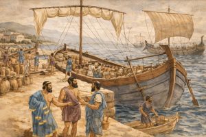
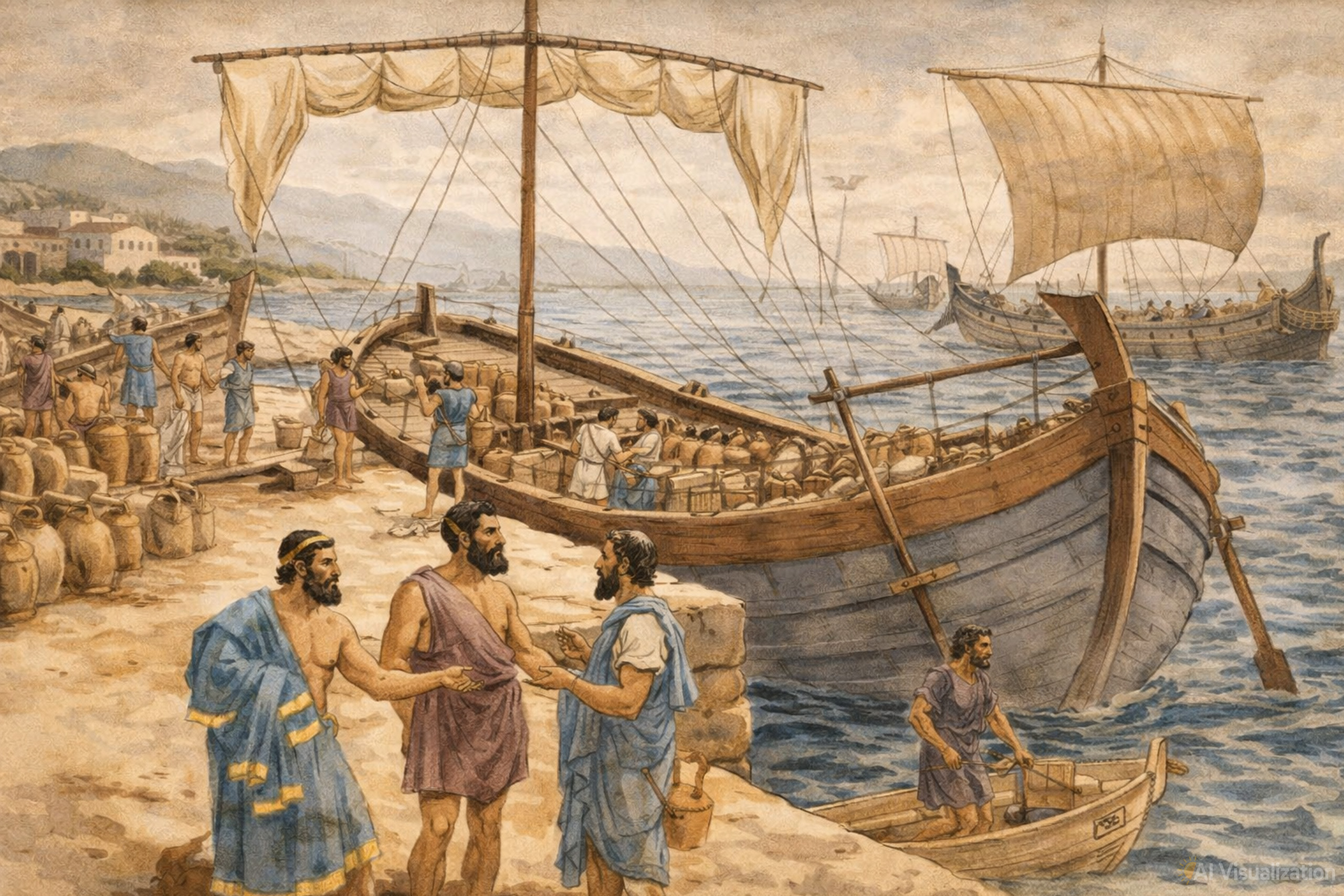
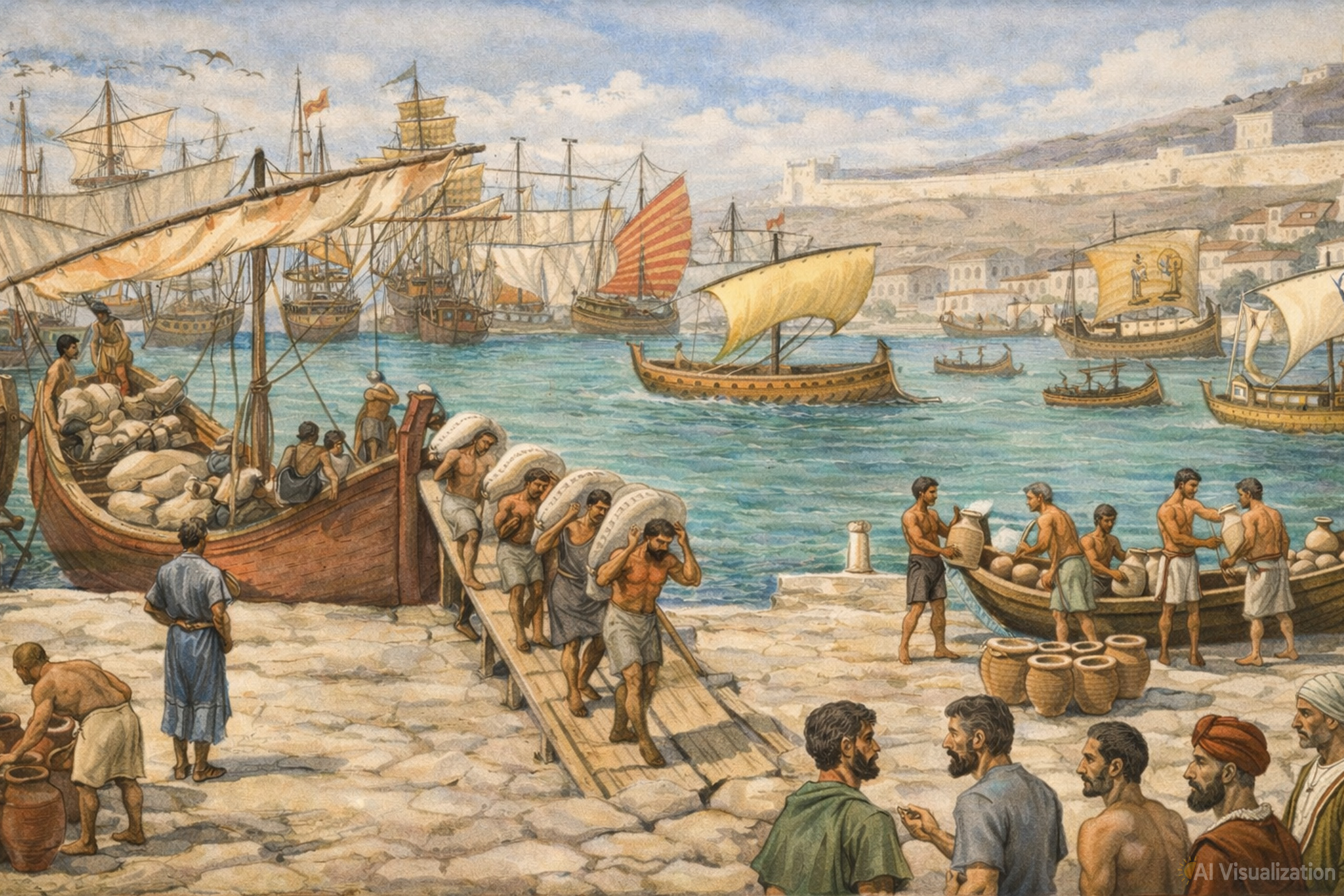
Long before global shipping routes were formalised, Cyprus was already integrated into Mediterranean trade networks. During the Late Bronze Age, Cypriot copper moved by ship to Egypt, the Levant, and the Aegean, linking the island to distant economies. This constant movement made Cyprus valuable not only for what it produced, but for where it sat.
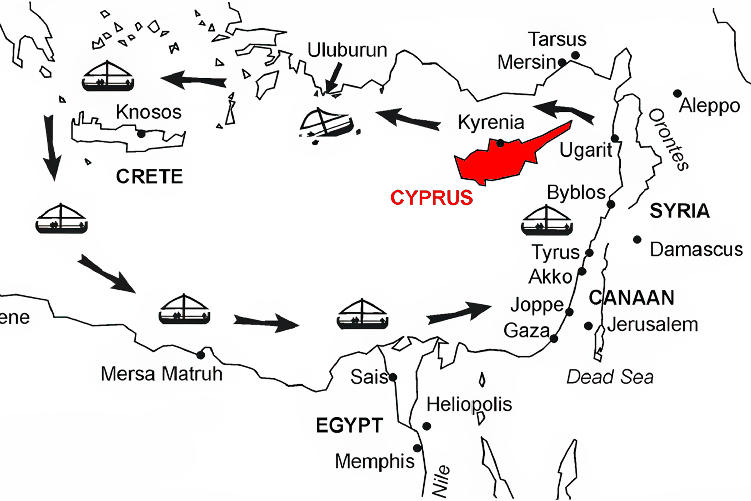
Control of Cyprus meant access — access to observation, supply, and staging at sea. For ancient powers, the island offered a way to influence maritime traffic without needing vast land armies. Sea power, not land dominance, was the logic that kept Cyprus relevant.
Why Empires Kept Returning
Cyprus did not attract empires by accident. Whoever controlled the island gained a vantage point over the eastern Mediterranean. Hellenistic rulers, Romans, Byzantines, Venetians, and Ottomans all understood the same principle: Cyprus was a maritime asset.
The island functioned as a base for fleets, a protector of trade routes, and a buffer against rivals approaching by sea. Empires changed, but the reason for holding Cyprus remained consistent. Geography did not shift — strategy adapted to it.
A Modern Sea with New Stakes
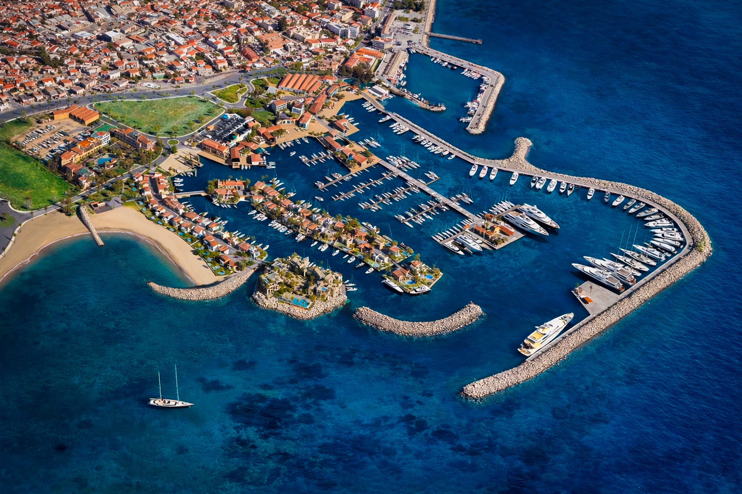
Today, Cyprus’s maritime position carries new layers of meaning. Global shipping lanes still pass nearby, but the sea now supports additional roles: offshore energy exploration, undersea cables, and complex service networks tied to international trade.

Cyprus has become a major maritime services centre, managing ships that operate far beyond its shores. Many vessels registered under the Cypriot flag never dock on the island, yet they remain legally and commercially connected to it. This reflects a modern reality: maritime influence no longer depends on physical presence alone.
Stability as a Strategic Asset
In a region often defined by tension, Cyprus occupies a rare position of relative stability. Its ports and maritime infrastructure allow it to function as a logistical and coordination hub rather than a frontline state. This role has proven crucial during regional crises, when access, neutrality, and reliability at sea matter more than proximity to conflict.
Cyprus’s strength lies in facilitation rather than force — offering space, access, and continuity when surrounding areas are strained.
Seeing the Crossroads in Everyday Life
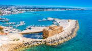
The island’s maritime role is not abstract. In coastal cities such as Limassol and Larnaca, container ships, cruise liners, and fishing boats share the same waters. Old harbours sit beside modern marinas, and global trade unfolds within sight of everyday routines.
Even a quiet walk along the coast reveals Cyprus’s place in the wider world. Ships on the horizon are not distant symbols; they are reminders that the island remains connected to larger movements beyond its shores.
Why This Position Still Defines Cyprus
Cyprus’s strategic maritime position explains why the island has endured as a place of relevance rather than scale. It has survived not by controlling territory, but by understanding movement. The sea has carried influence, opportunity, and responsibility past its coasts for millennia.
At the crossroads of continents and routes, Cyprus continues to matter because it connects rather than commands. In the eastern Mediterranean, that role has always been enough.