Cyprus offers drivers dramatically different experiences depending on where they travel. City streets demand alertness for roundabouts and parking challenges, mountain roads require careful handling on steep grades, and village lanes test patience with narrow passages. Understanding these differences helps drivers navigate the island safely and confidently.
Major cities like Nicosia, Limassol, and Paphos feature modern infrastructure with well-maintained roads, but they also present unique obstacles. Roundabouts appear frequently, especially at highway exits and major intersections. Traffic already on the roundabout has the right of way, so drivers must yield before entering. Local drivers move quickly through these circles, which can intimidate newcomers.
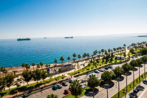
Parking in city centers presents significant difficulties. Limassol has metered street parking along the seafront Molos promenade and in the old town, with pay-and-display machines requiring euro coins. Nicosia offers some free parking outside the Venetian walls along the moat, though finding a spot requires luck and patience. The old town streets are narrow, making it easy to accidentally block driveways or delivery zones.

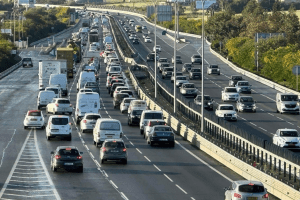
Traffic congestion hits peak levels during morning and evening rush hours. Nicosia sees particularly heavy traffic between 7:30 and 9:00 AM as commuters flood into the capital. The same pattern repeats between 5:00 and 6:30 PM when people leave work. Highway exits outside major cities require special caution because they are often short and end in sharp 90-degree turns with speed limits as low as 25 to 30 kilometers per hour.
City streets typically allow maximum speeds of 50 kilometers per hour, dropping to 30 kilometers per hour near schools and kindergartens. Speed bumps enforce these limits in residential areas. Police conduct regular speed checks and issue fines quickly for violations. Speed cameras operate extensively throughout urban zones, with fines starting at 25 euros for minor infractions and escalating rapidly for serious speeding.
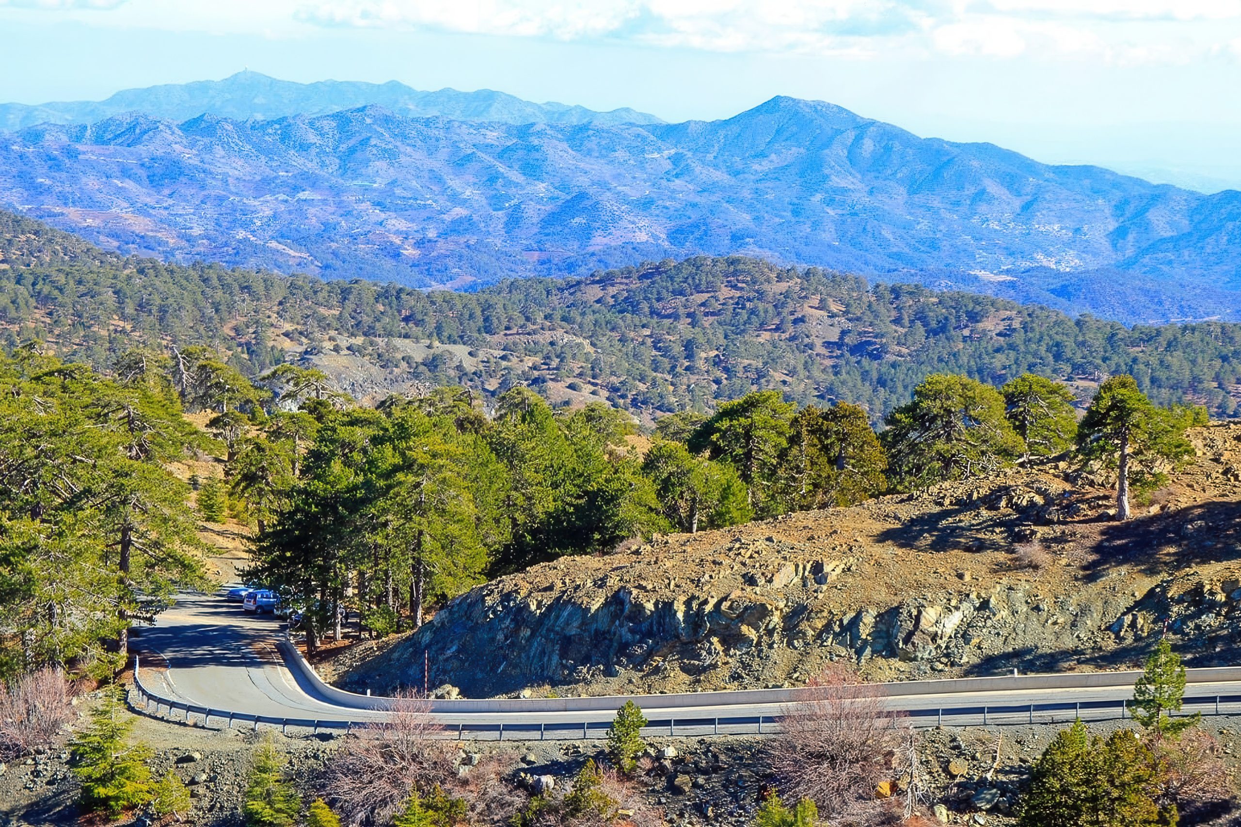
Mountain Roads That Test Driving Skills and Nerves
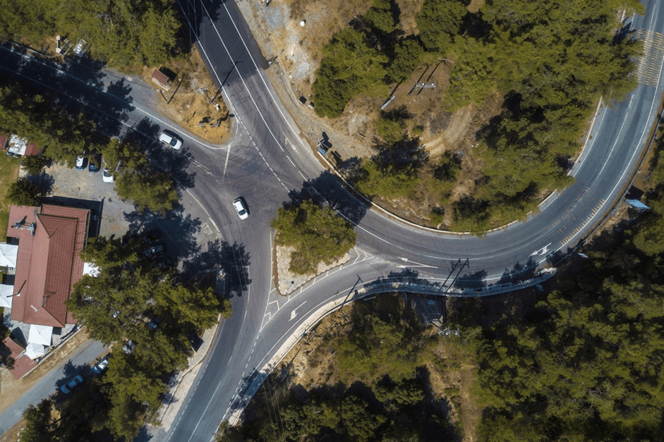
The Troodos Mountains present entirely different challenges from city driving. Roads climbing toward the peaks feature steep grades, sharp switchbacks, and narrow lanes. Mount Olympus reaches 1,952 meters in elevation, and roads ascending to ski areas or mountain villages gain altitude quickly through countless curves.
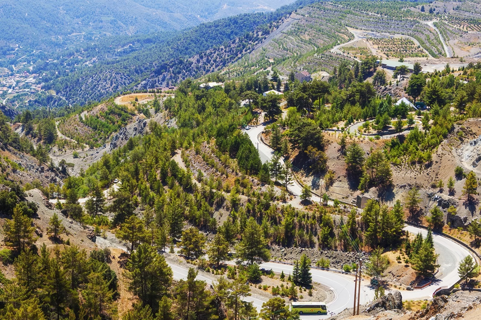
Winter conditions transform mountain driving dramatically. Snow falls regularly from January through March above 1,000 meters elevation. Temperatures can drop to minus 11 degrees Celsius, creating icy patches on shaded road sections. Authorities close certain routes entirely during heavy snowfall, including the Karvounas to Troodos road, Prodromos to Troodos road, and Platres to Troodos road.
Other mountain routes remain open but require four-wheel drive vehicles and snow chains. Roads connecting Platres to Troodos, Karvounas to Troodos, Prodromos to Troodos, Kakopetrias to Karvounas, Pedoulas to Prodromos, and Kakopetrias to Pinewood to Pedoulas all fall into this restricted category during winter storms. The Cyprus Ski Federation website provides daily updates on road conditions and access restrictions.
Rain makes mountain roads slippery even outside winter months. The combination of curves, elevation changes, and reduced traction demands slower speeds and greater following distances. Drivers should check weather forecasts before heading to mountain areas and avoid trips during storms. The Platres Police Station at telephone number 25 813018 provides current road condition information to travelers.
Village Roads Where Patience Becomes Essential
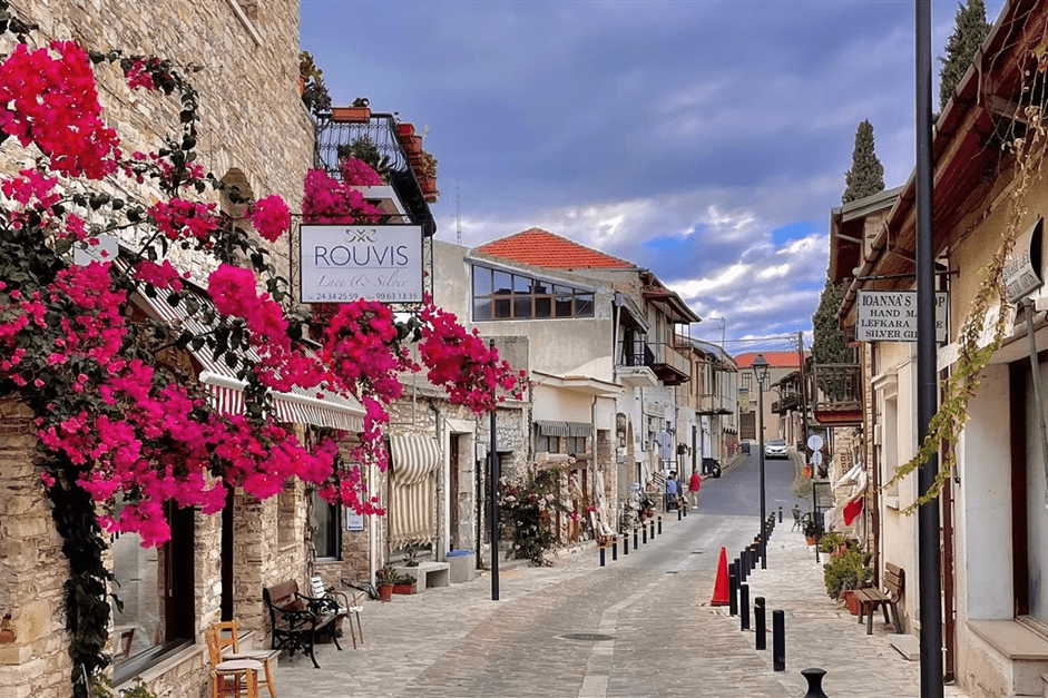
Traditional Cyprus villages feature streets built centuries before automobiles existed. These narrow lanes were designed for donkeys and pedestrians, not modern cars. Villages like Omodos, famous for wine production, have cobblestone streets barely wide enough for a single vehicle. Stone houses crowd close to the roadway, with balconies sometimes overhanging above.
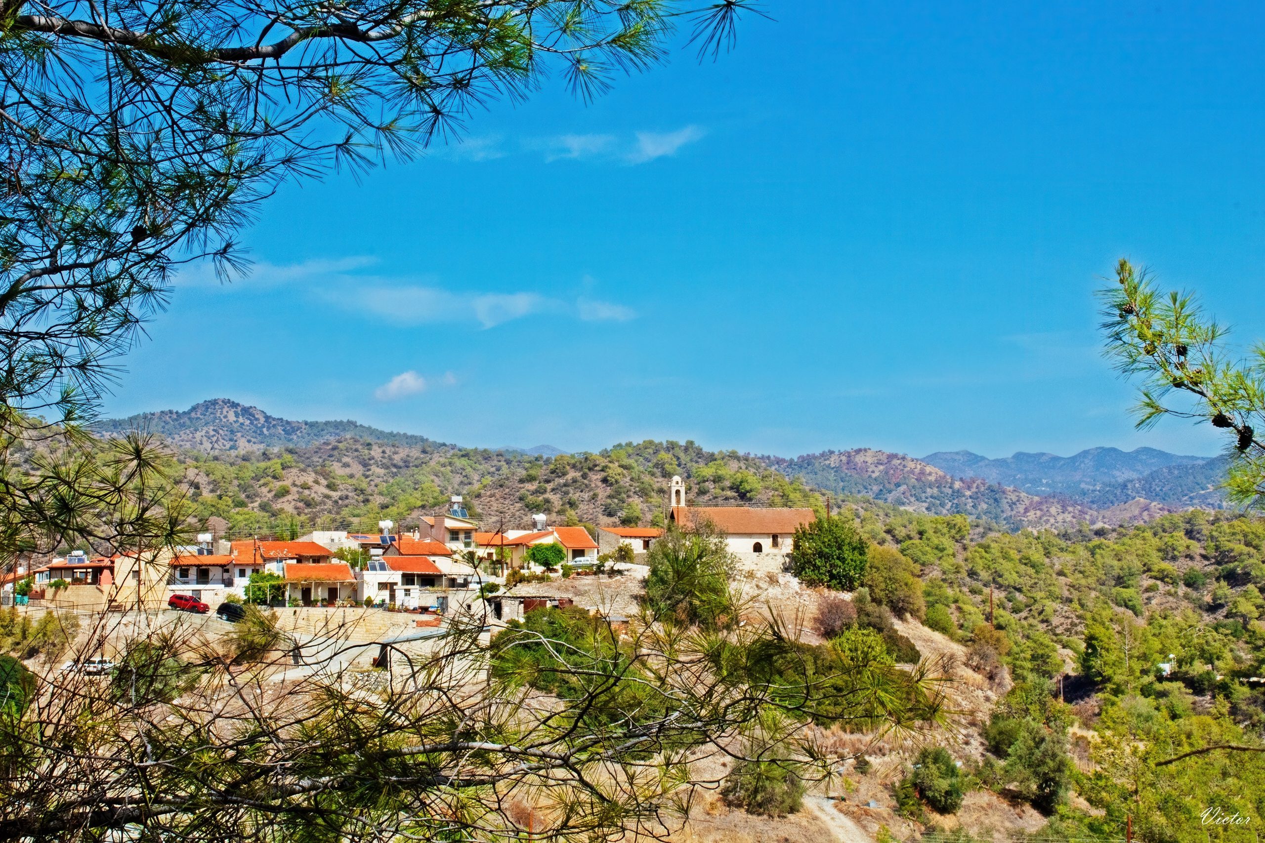
Kapileio village exemplifies the typical mountain village layout. Built on a hillside among pine trees and vineyards, its roads are narrow and often unpaved. Large clay pots and traditional ovens decorate gardens around stone houses. Drivers must proceed slowly and watch carefully for pedestrians who use the streets freely since sidewalks rarely exist.
Free parking areas typically exist on village outskirts, eliminating the need to navigate narrow interior streets. Walking the final distance into the village center proves far less stressful than attempting to drive through. Most villages measure only a few hundred meters across, making the walk quite manageable.
Key Differences Between Highway and Secondary Road Conditions
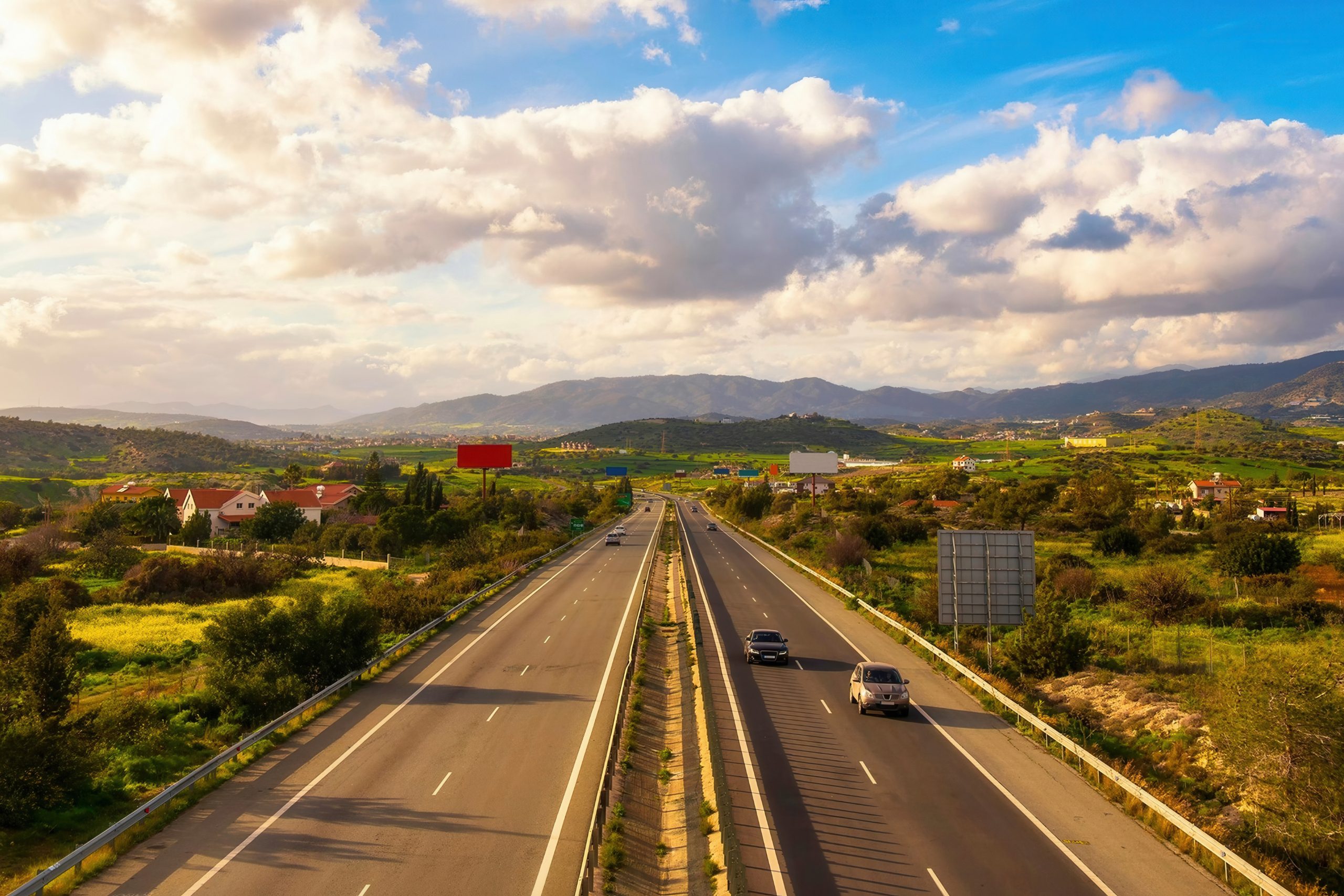
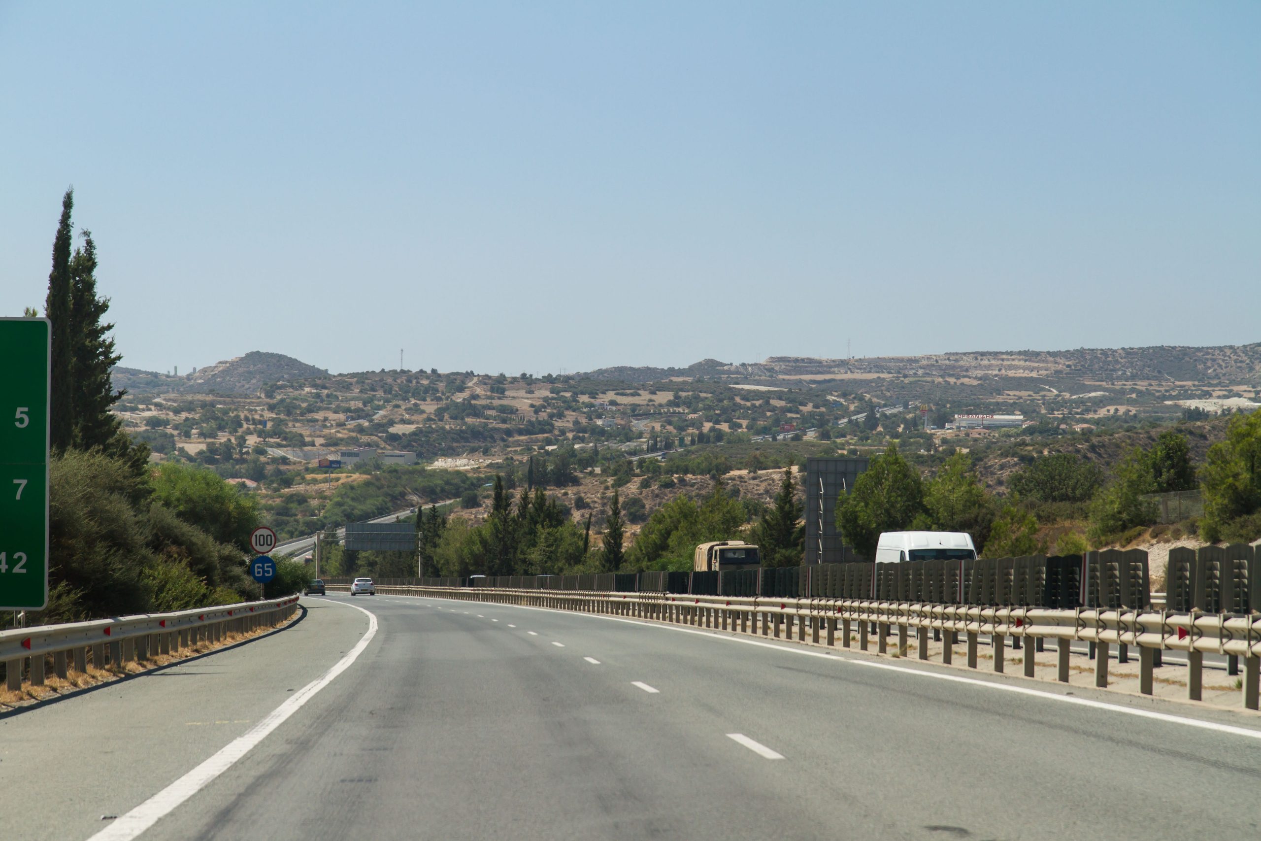
The contrast between modern highways and older secondary roads is striking. Four-lane motorways connecting major cities feature smooth pavement, clear lane markings, and gentle curves designed for 100 kilometer per hour speeds. The A1 from Nicosia to Limassol was recently expanded to six lanes in heavily traveled sections, providing ample space for safe passing.
Secondary and rural roads often narrow to single lanes in each direction. Pavement quality remains generally good, but surfaces show more wear than highways. Some remote areas and beach access points rely on unpaved gravel tracks that can damage vehicles not designed for such conditions. Rental car agreements often prohibit driving on these unsealed roads.
Forest roads maintained by the Forestry Department serve primarily for forest management activities. These unpaved routes provide access to hiking trails and remote mountain areas but require four-wheel drive capability in many cases. Regular passenger cars risk tire damage or getting stuck in mud during rainy periods.
Weather Impact on Different Road Categories
Summer heat affects all road types but creates particular challenges in cities where asphalt temperatures soar. Cars parked in direct sun become extremely hot inside, requiring air conditioning to run several minutes before driving. Drivers should carry water bottles because vehicles occasionally overheat in traffic, requiring coolant top-ups.
Mountain weather changes quickly and dramatically. Clear conditions at lower elevations can give way to fog, rain, or even snow at higher altitudes within the same hour. Checking weather forecasts specific to mountain areas prevents getting caught in dangerous conditions. Winter visitors should verify road access before attempting trips to villages above 1,000 meters.