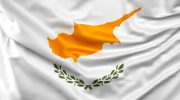
Cyprus National Day – October 1 Celebrations
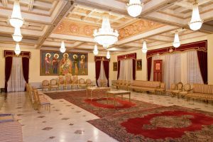
Cyprus Independence Day on October 1 commemorates the island's liberation from British colonial rule in 1960, marking the birth of the Republic of Cyprus as a sovereign nation. Although independence officially occurred on August 16, 1960, celebrations were moved to October 1 to avoid the summer heat and accommodate the tourist season. The day honors the four-year struggle by EOKA fighters between 1955 and 1959 who fought for freedom and unification with Greece (Enosis) through guerrilla warfare against British forces. The national holiday features military parades in Nicosia showcasing units from the National Guard, Greek forces stationed in Cyprus, police, and fire services. The President lays wreaths at the statue of Archbishop Makarios III, Cyprus's first president, and delivers speeches reflecting on independence achievements and ongoing national challenges. Despite 65 years of sovereignty, the celebrations carry complex emotions given the island's division and Turkish occupation of the north since 1974. The Path to Independence and British Rule Britain acquired Cyprus in 1878 when the Ottoman Empire leased the island following the Russo-Turkish War. The strategic Mediterranean location made Cyprus valuable for protecting British interests in the region and securing routes to India. When World War I began in 1914, Britain formally annexed Cyprus, transforming the lease arrangement into direct colonial possession. The British ruled for 82 years, establishing administrative systems,…
Read more